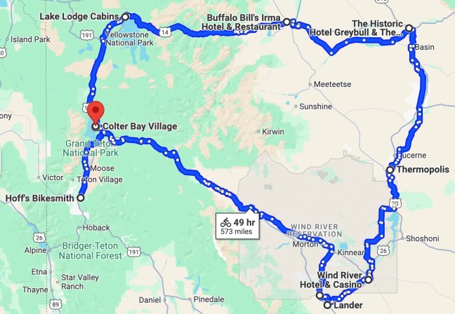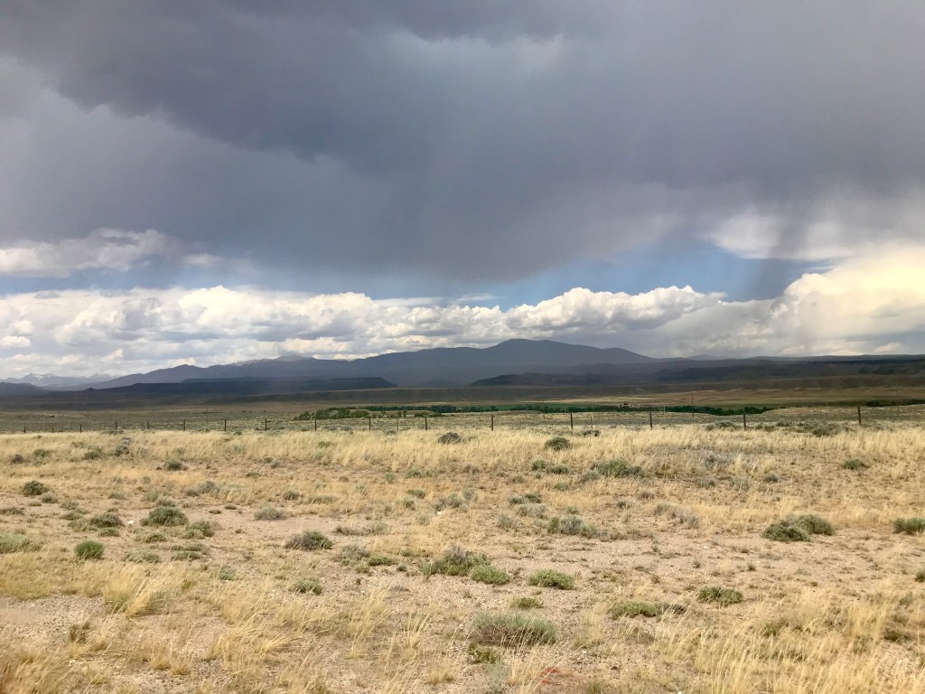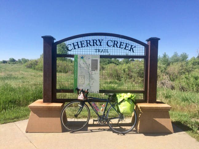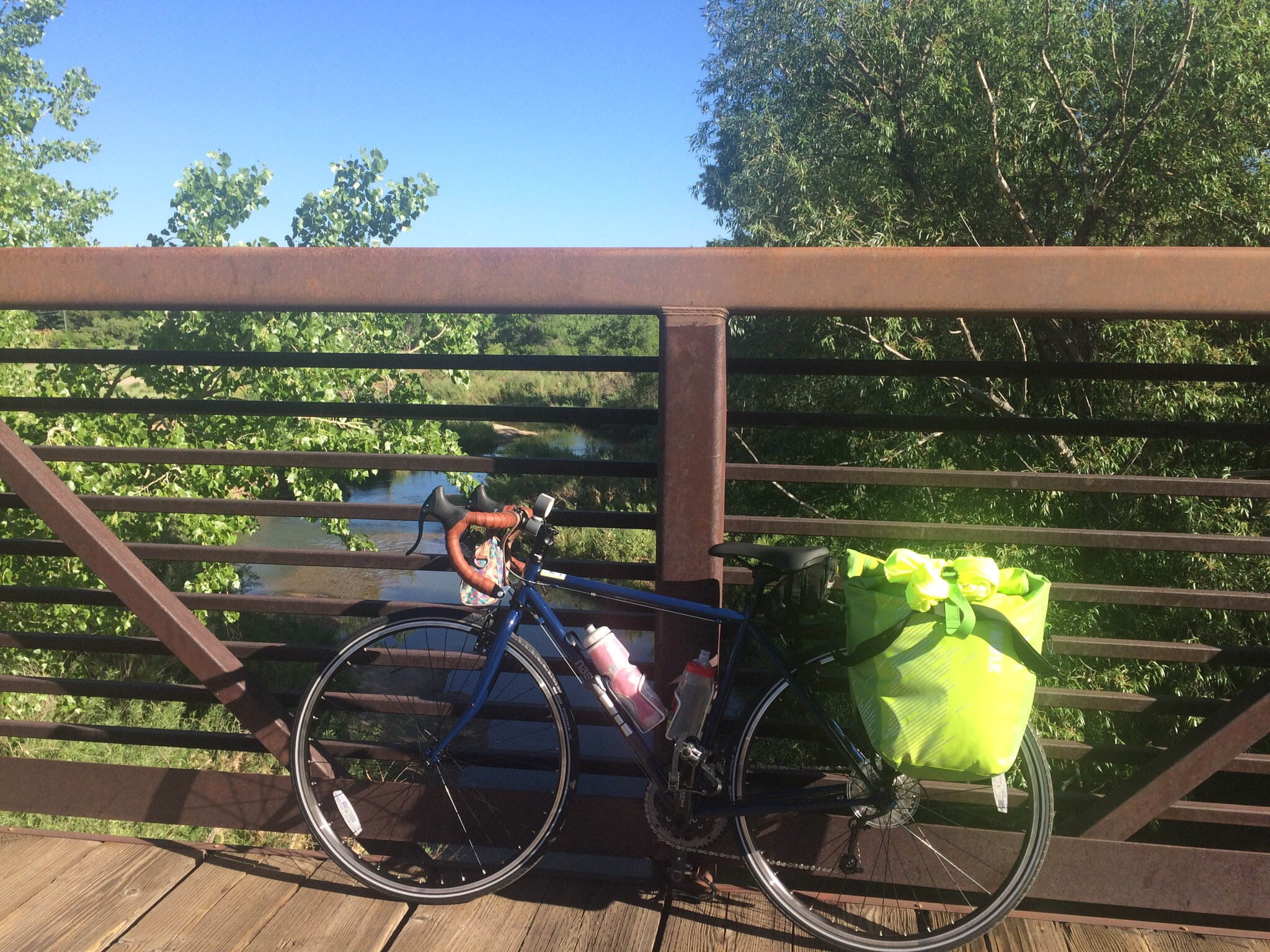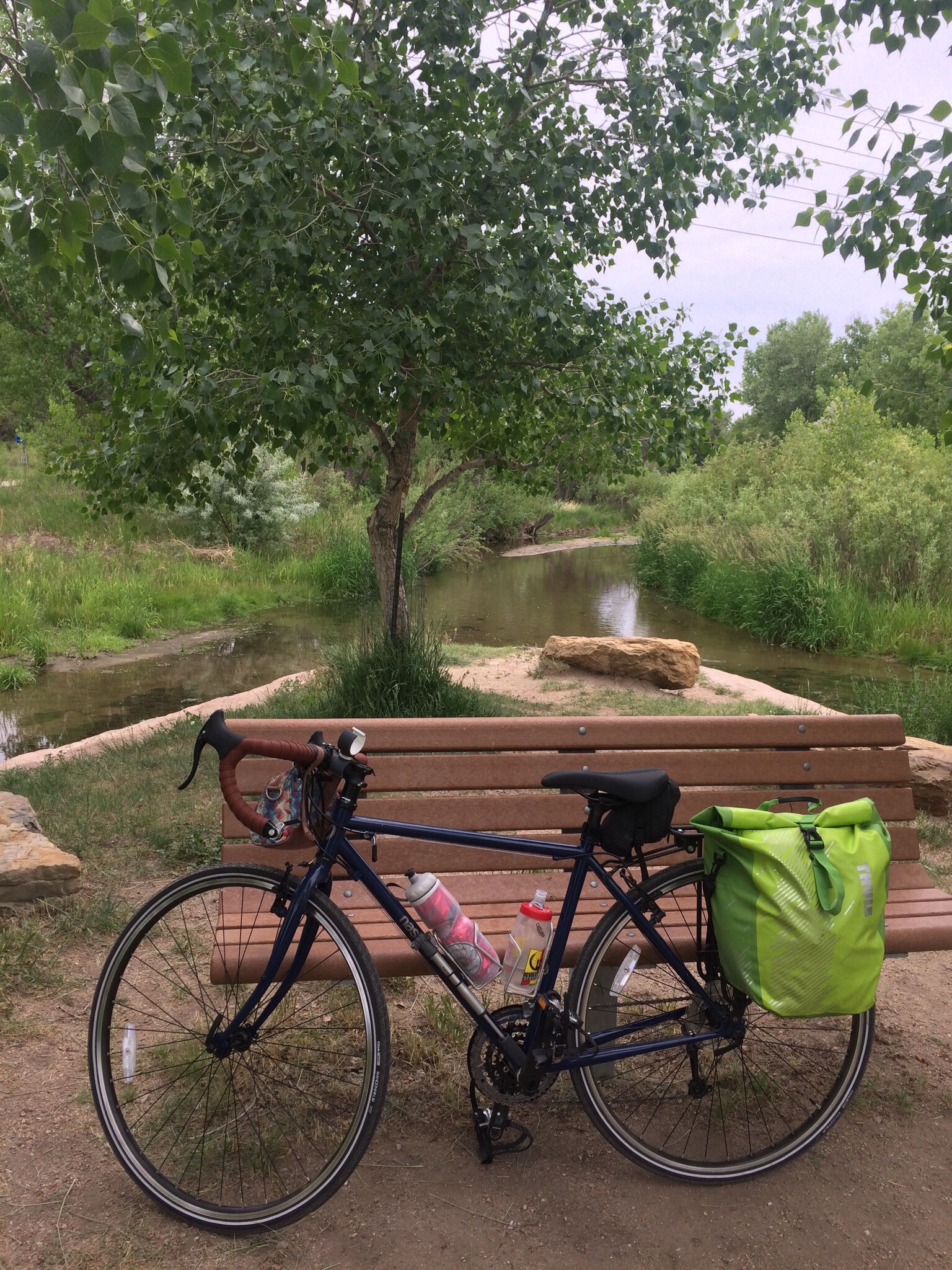
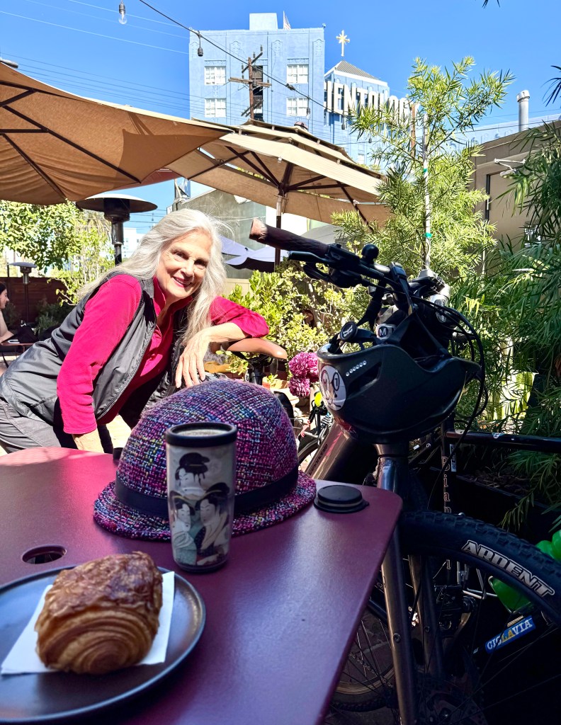
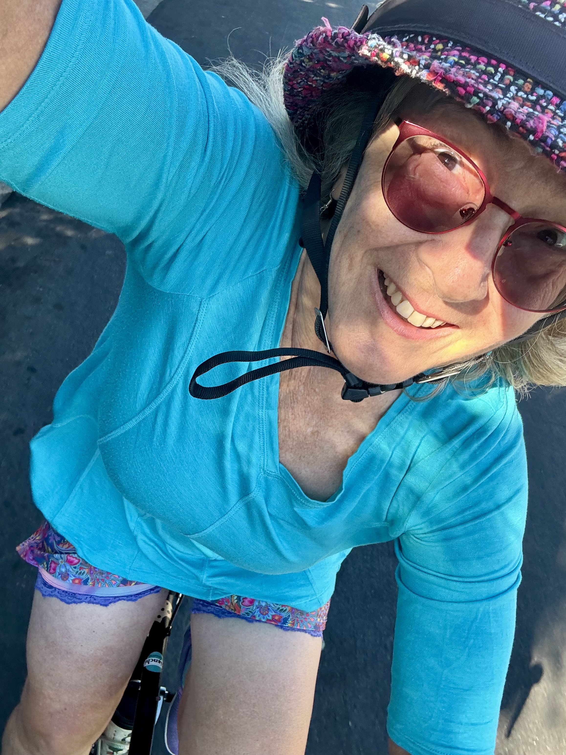
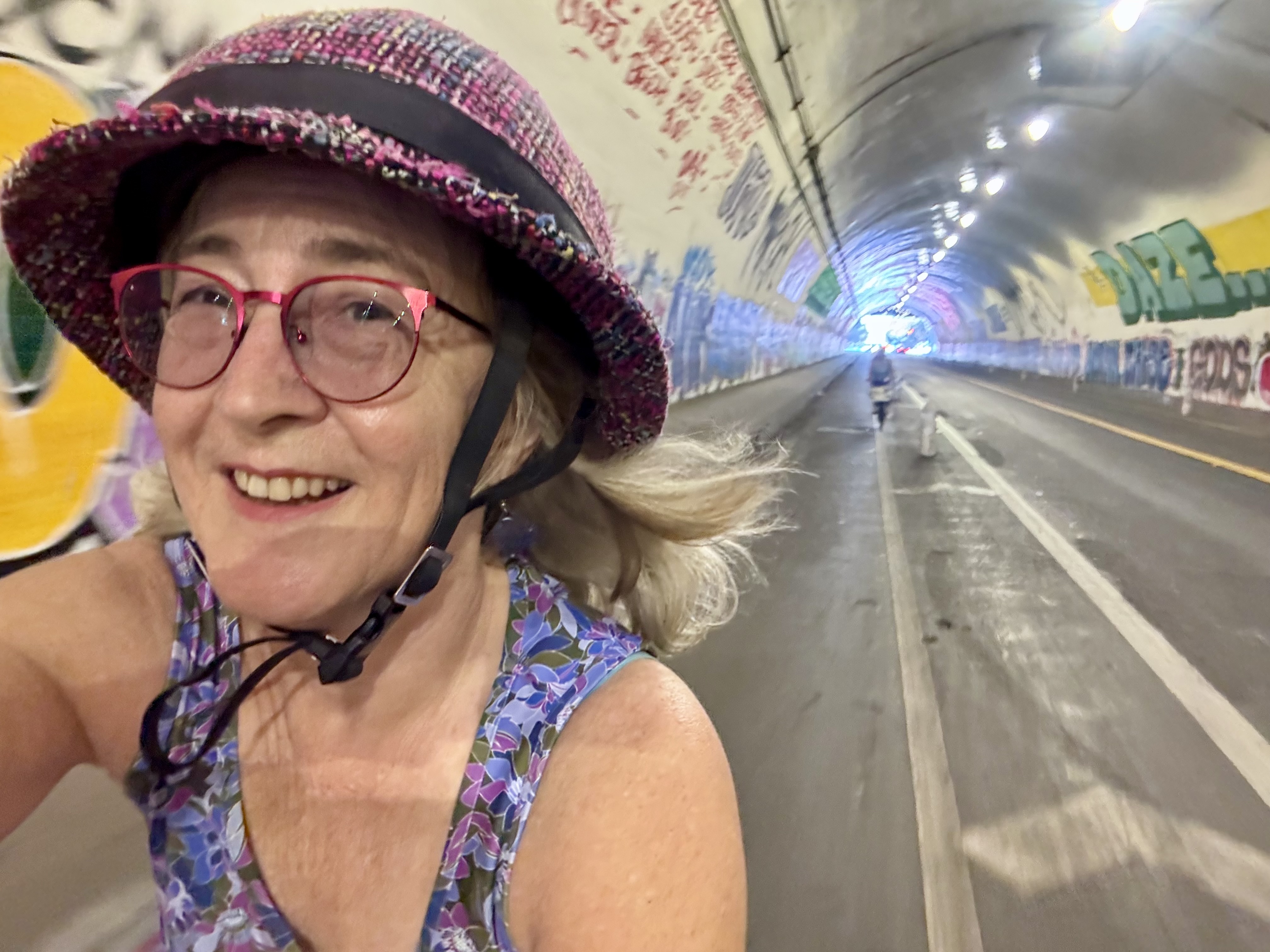
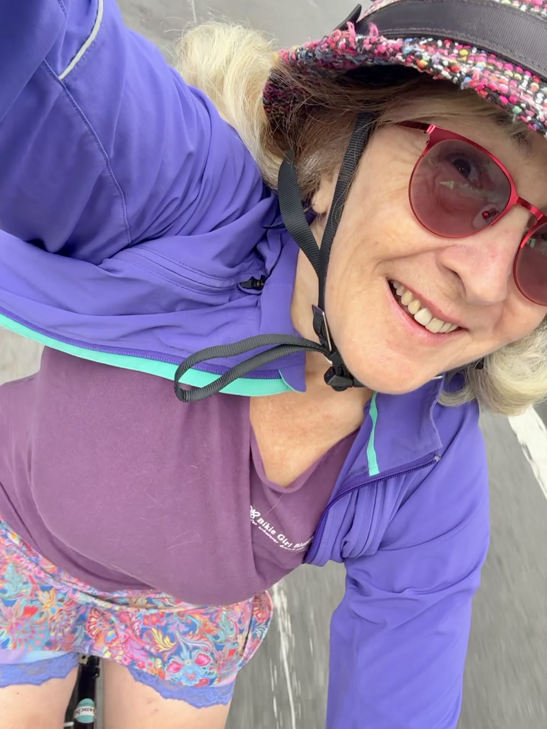
Coffeeneuring is a Fall challenge to keep us riding our bikes as the days get shorter and the temperatures drop. We tackle this by biking 7 times to at least 6 different coffee shops (or other places to drink coffee, or a coffee-type beverage) over the course of 7 weeks or so. The detailed rules get adjusted from year to year, but can be found at the blog hosted by our Coffeeneur-in-Chief. This year we are celebrating 15 years of the coffeeneuring challenge (just 10 years for yours truly). What follows is my official documentation, or Control Card.
Each year the Challenge embraces a theme. This year’s theme is a nod to the 15th year: “You’re Only 15 Once”. One of the joys of the coffeeneuring community is seeing how different participants will interpret or express the theme in different ways. An optional feature is to develop a theme within the theme (visiting a particular category of establishment, trying a favorite food or beverage at each coffee shop, meeting up with friends, exploring different parks or trails, etc.). I started out this year deciding my theme would be seeking out coffee shops that are beautiful. This was inspired by an Instagram post that named a list of beautiful places to drink coffee in Los Angeles, or something like that. Along the way, however, it occurred to me that I just might be able to get in 15 coffee rides during the dates of the challenge, so why not make that part of the “You’re Only 15 Once” theme?
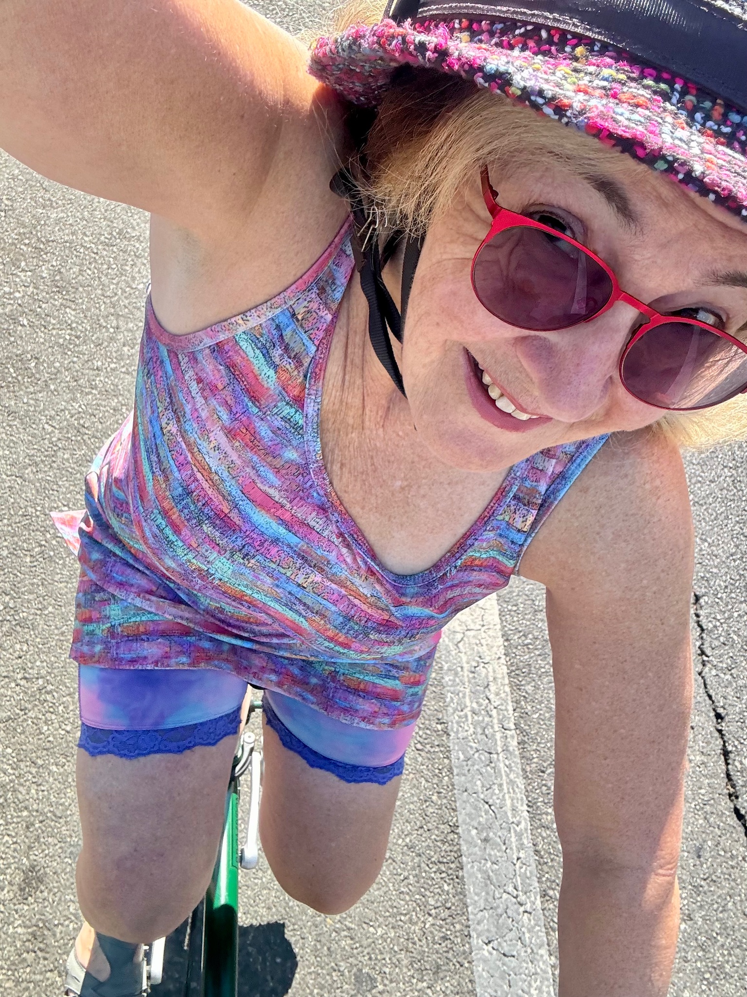
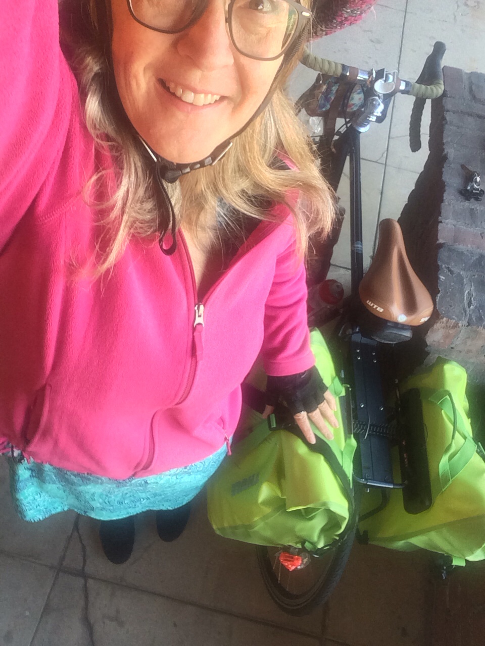
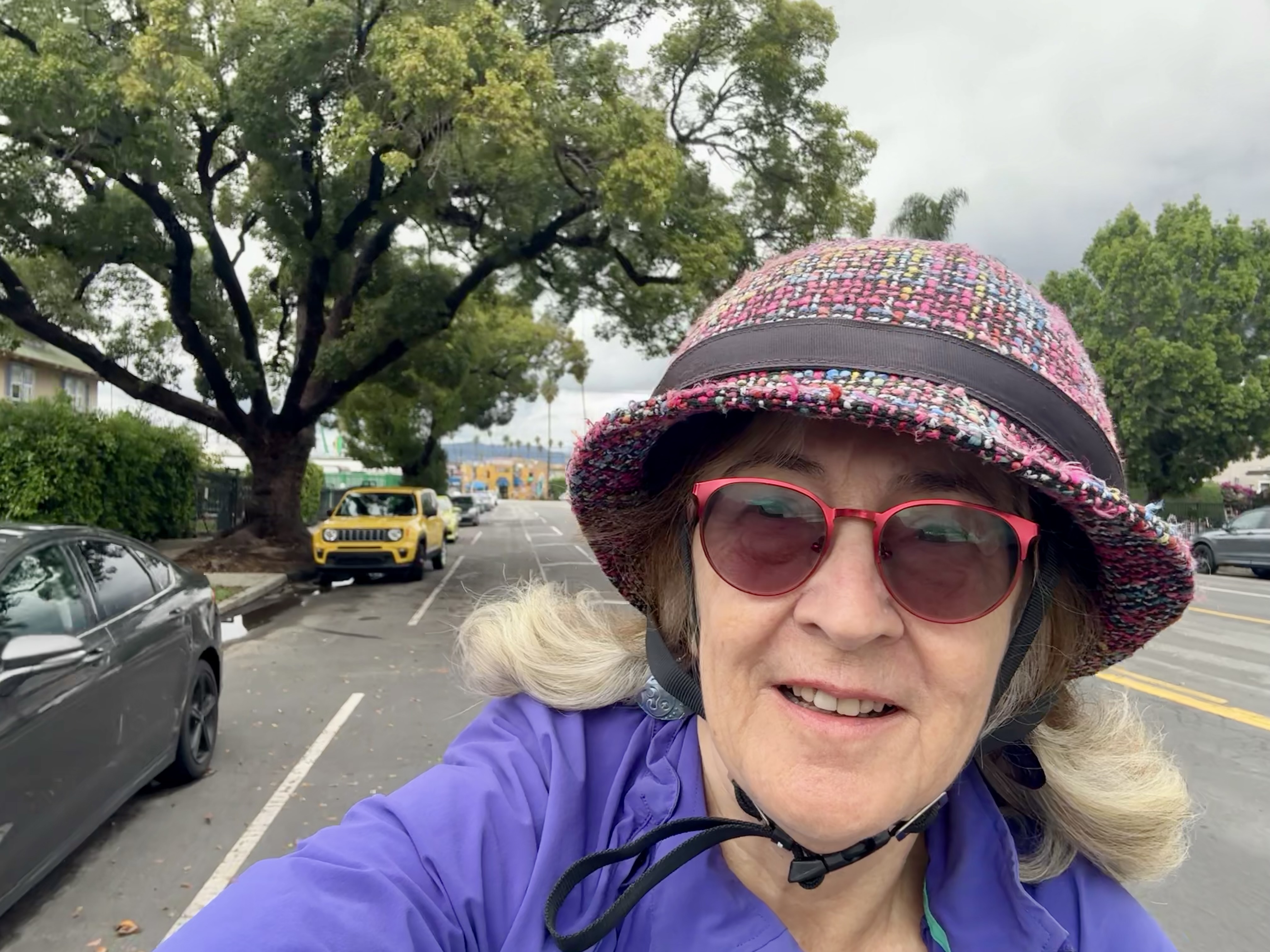
What follows is my report. While it is only necessary to keep track of the beverage, location, and mileage, I also like to include in my report which bike I rode and which Bloomers I wore, in addition to a few notes on what stood out about that experience, and who joined me for this one (my “C+1”).
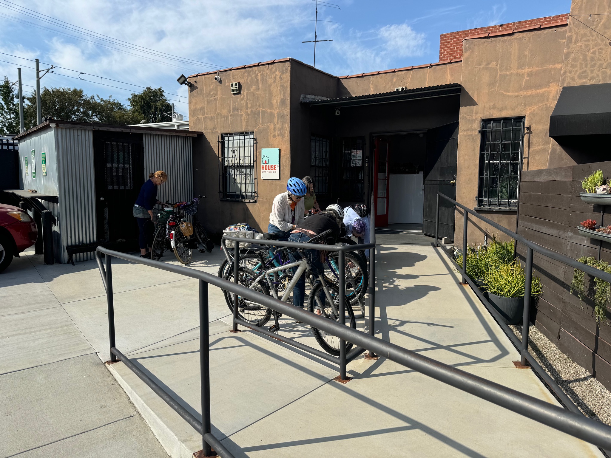
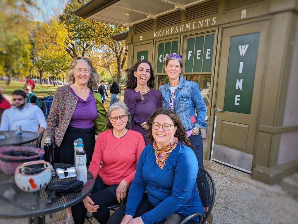
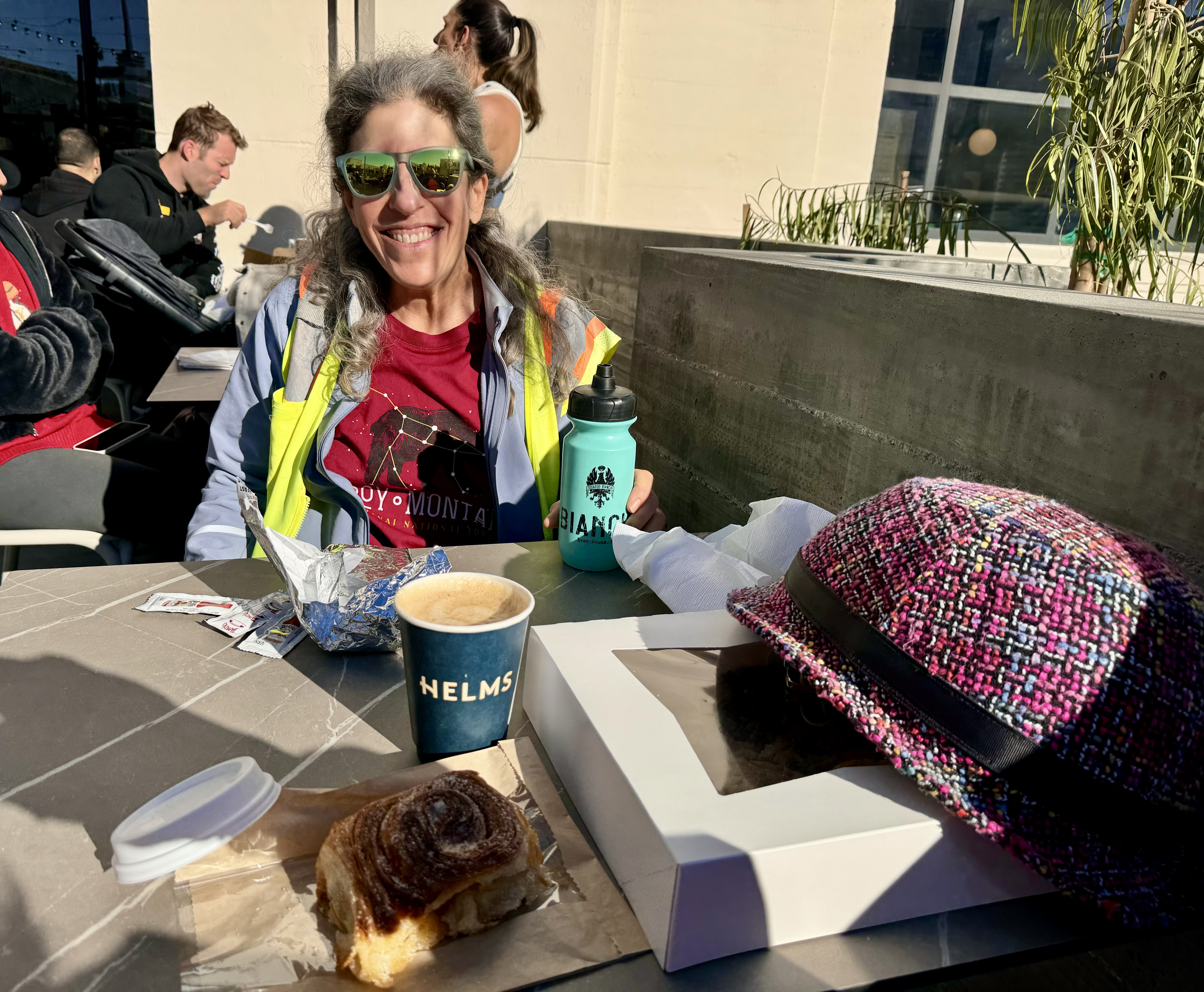
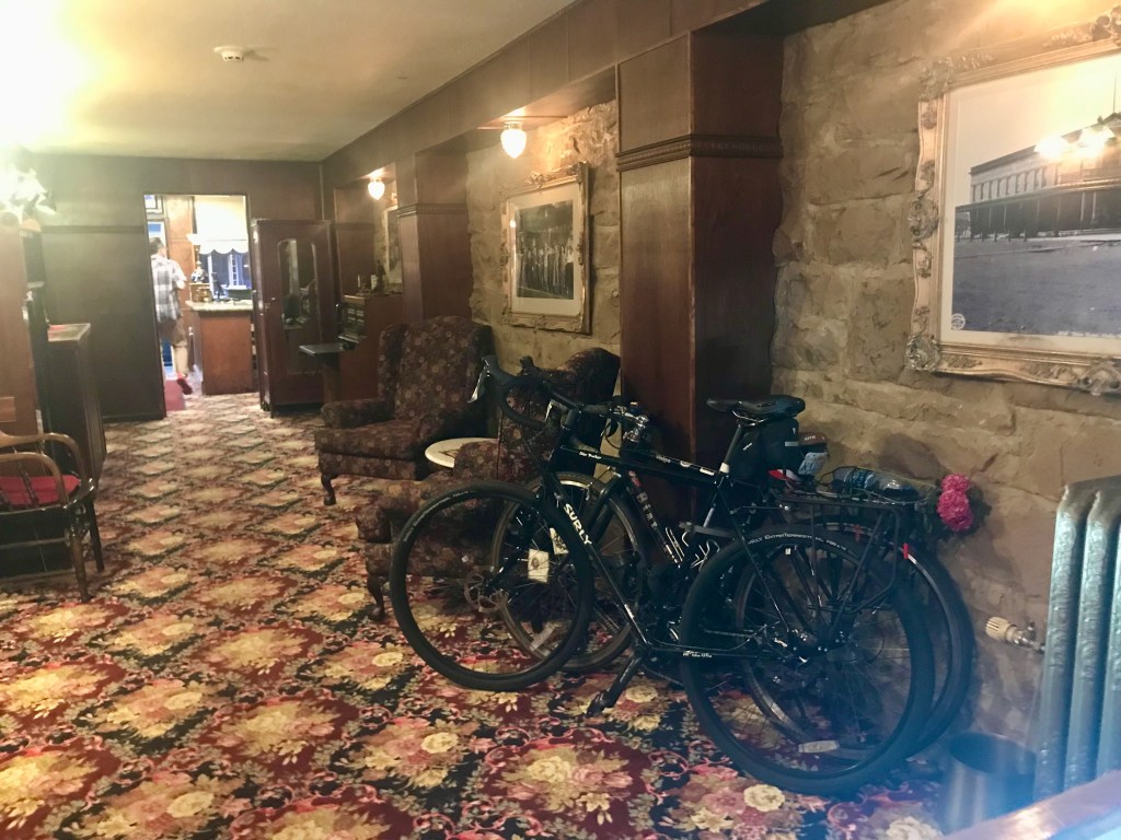
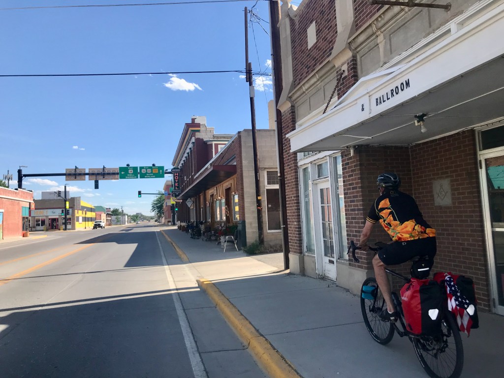
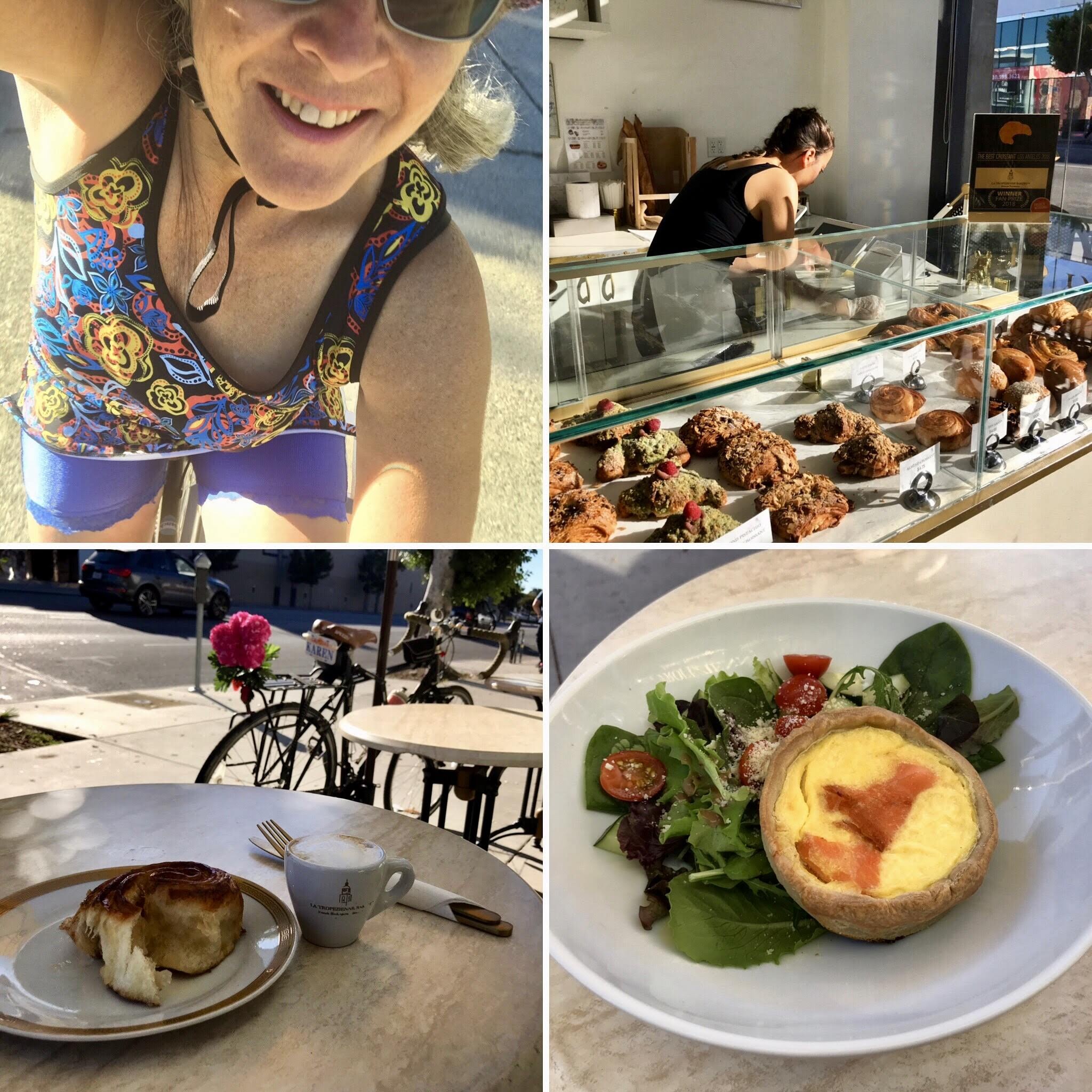
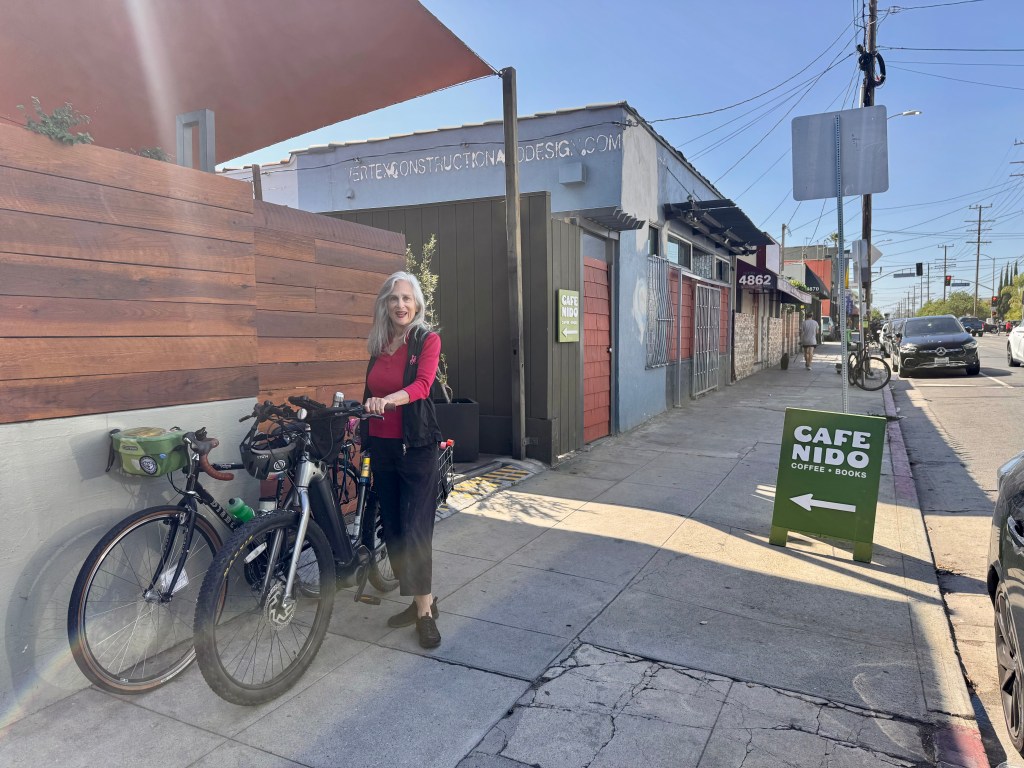
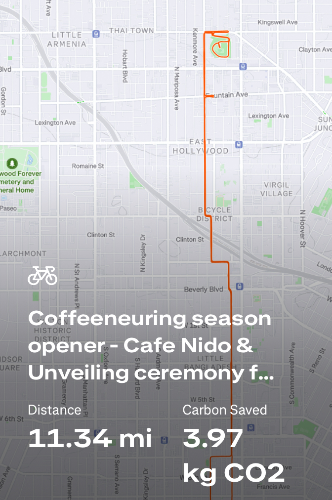
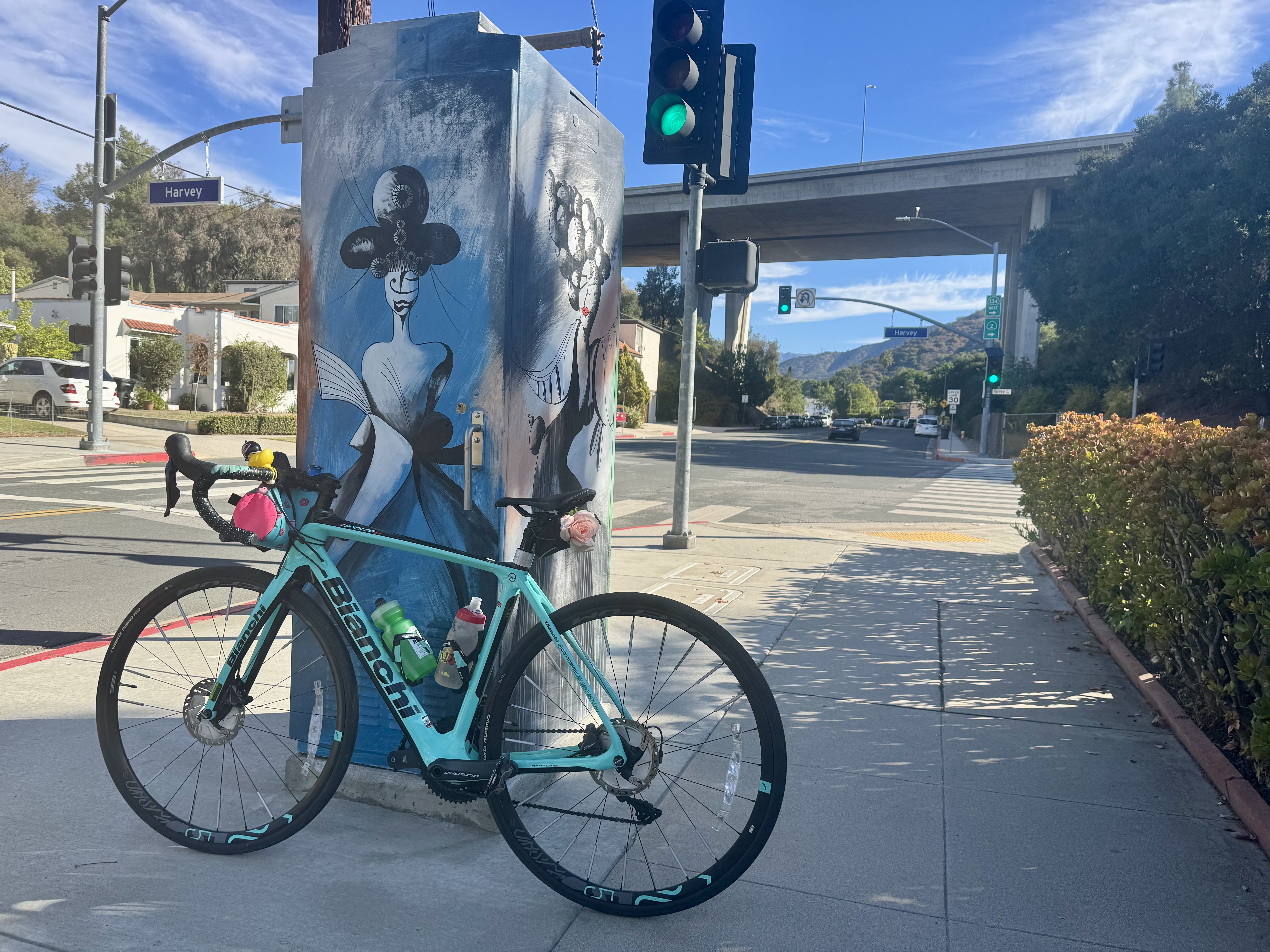
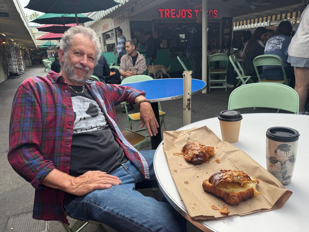
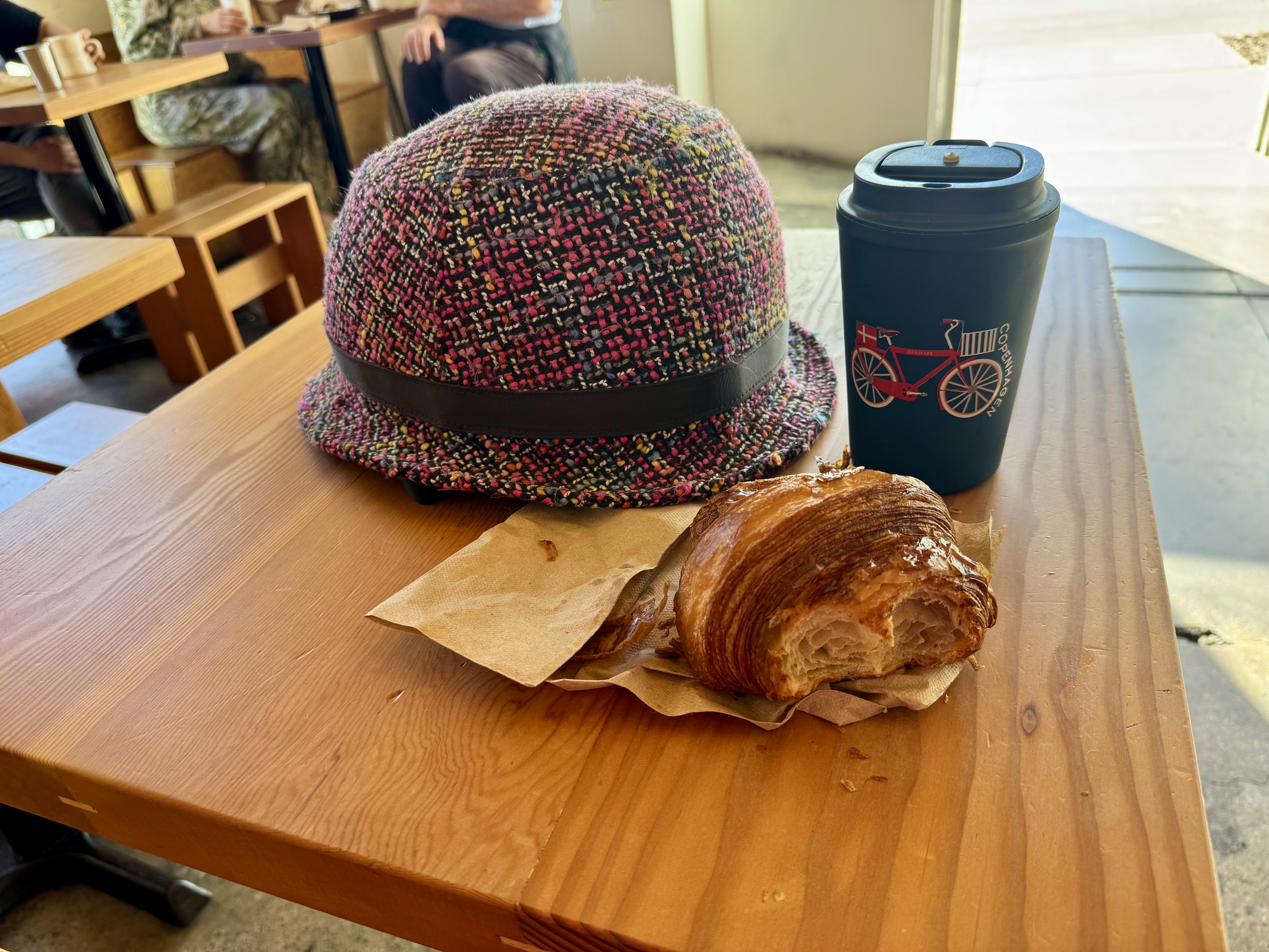
Control No. 1: 10/11/25 Cafe Nido in East Hollywood
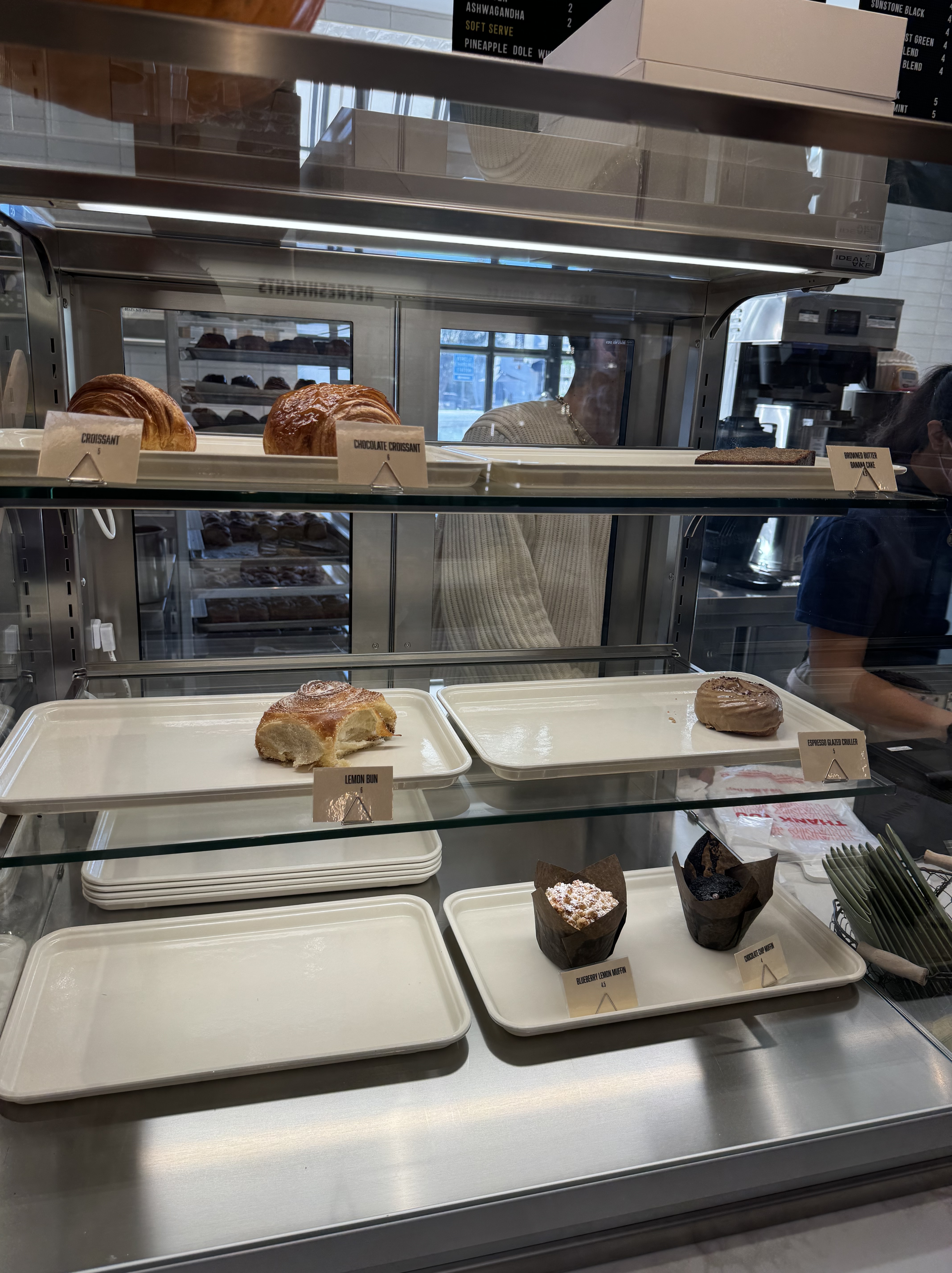
Beverage: Pumpkin Mocha (+ chocolate croissant)
Bike: Volpe
Bloomers: Groovy Tie Dye
C+1: Jennifer
Beauty: Patio seating area features lots of plants & books
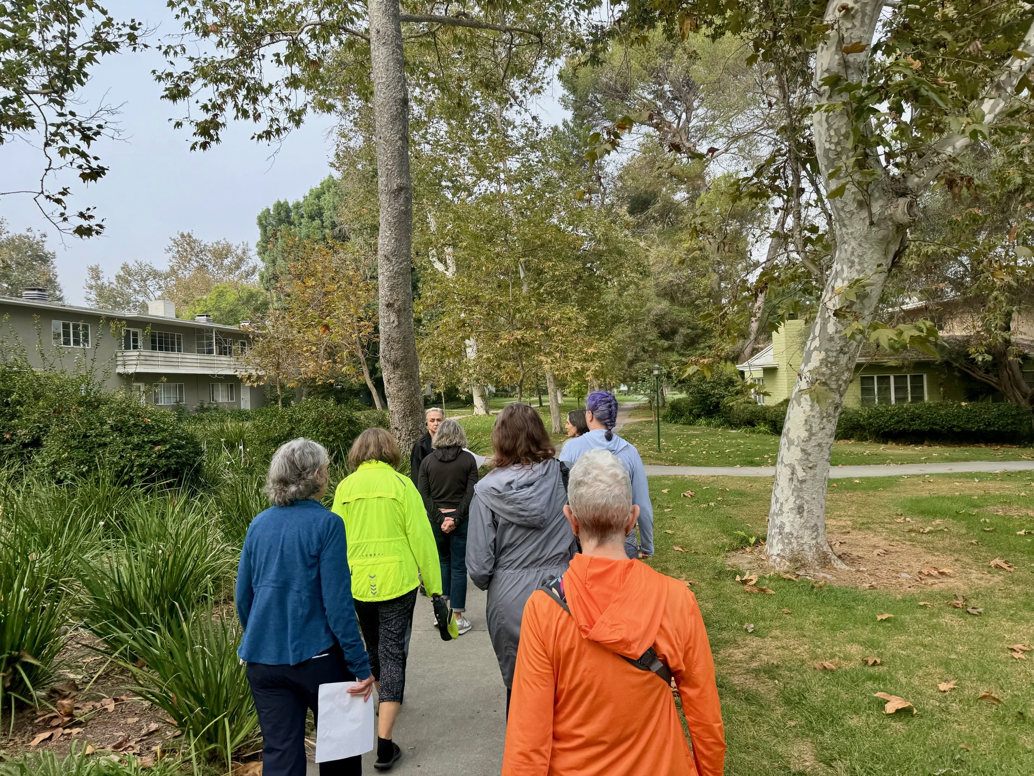
Miles: 11.3
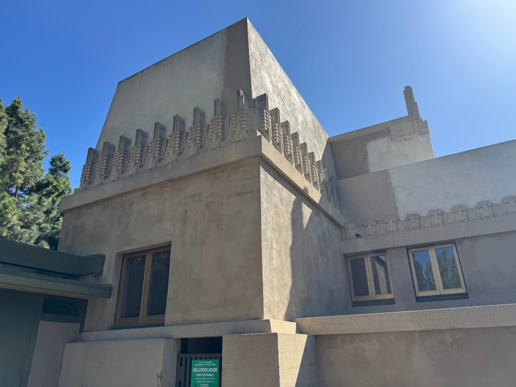
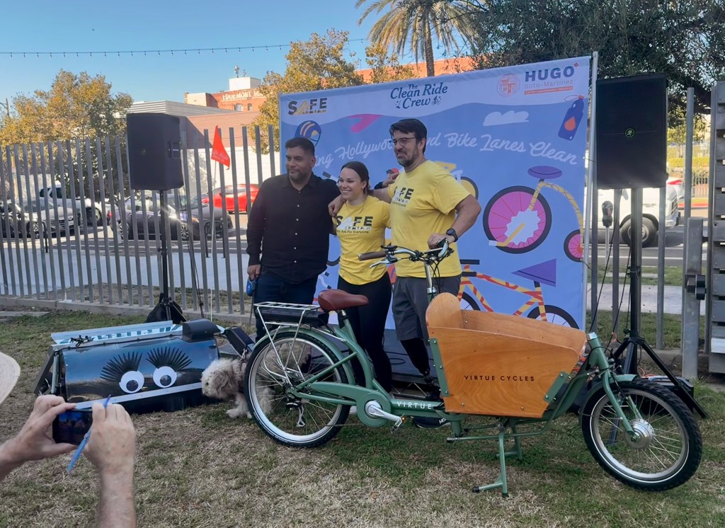
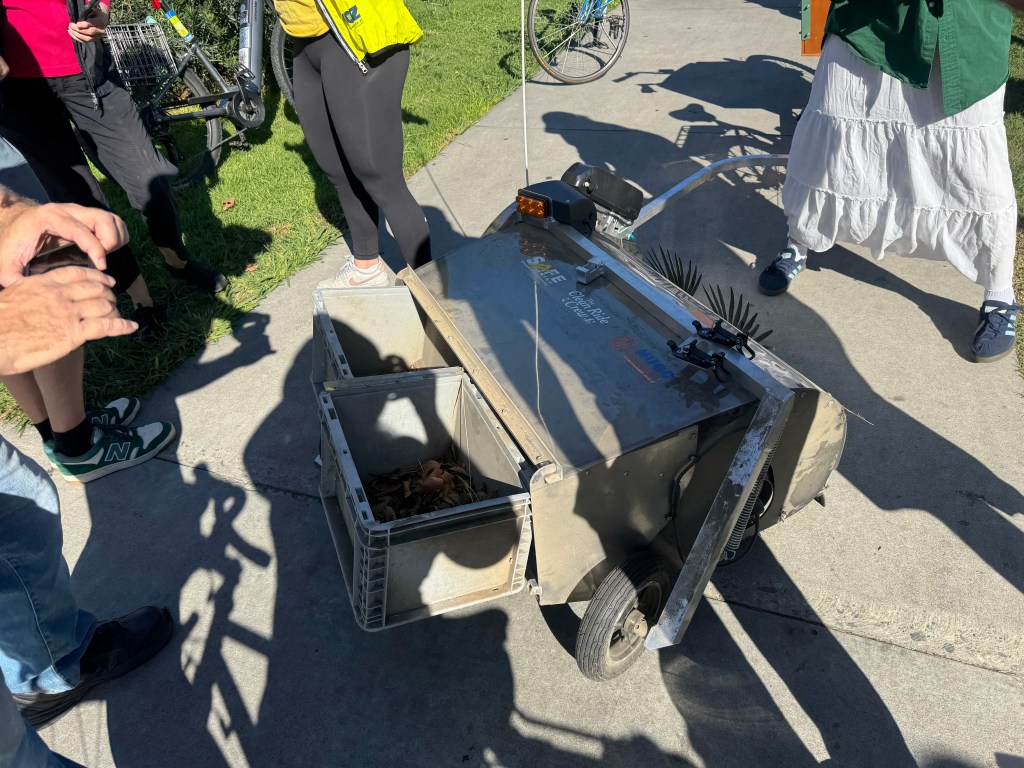
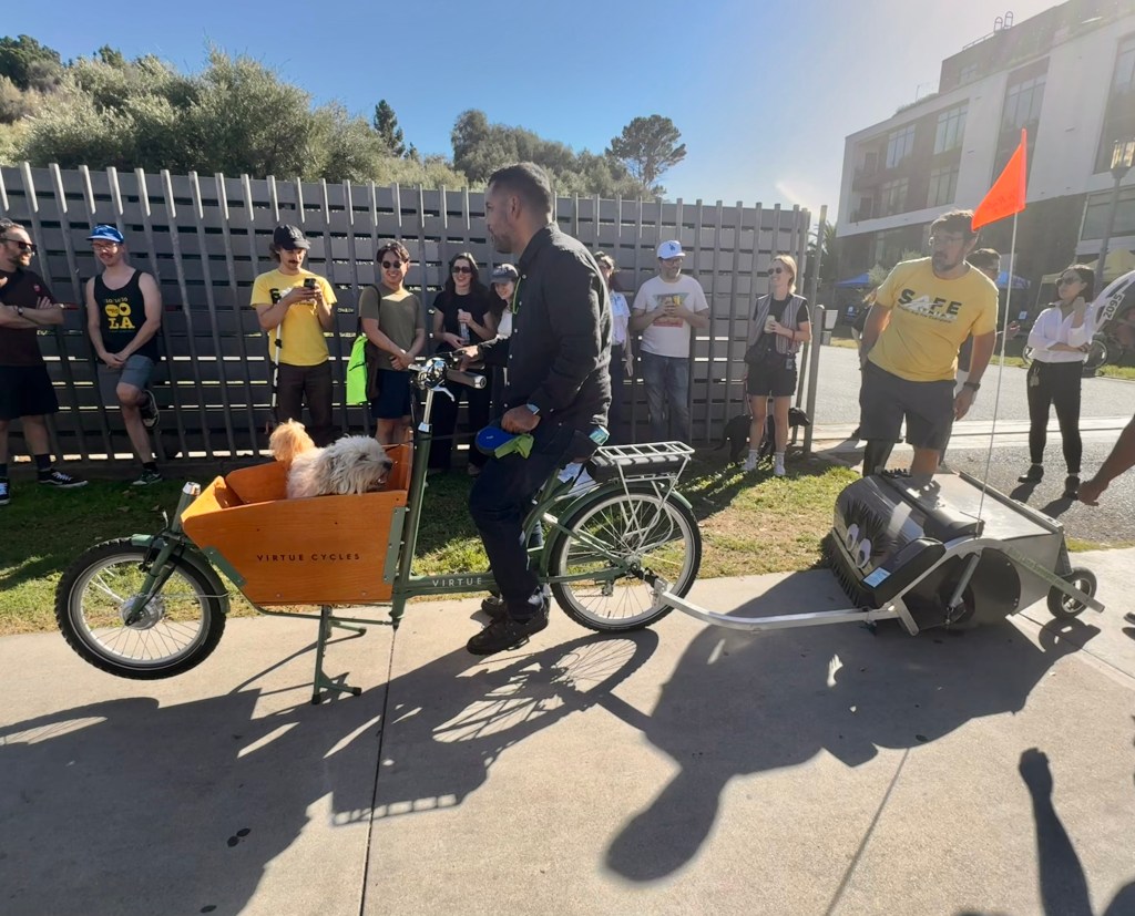
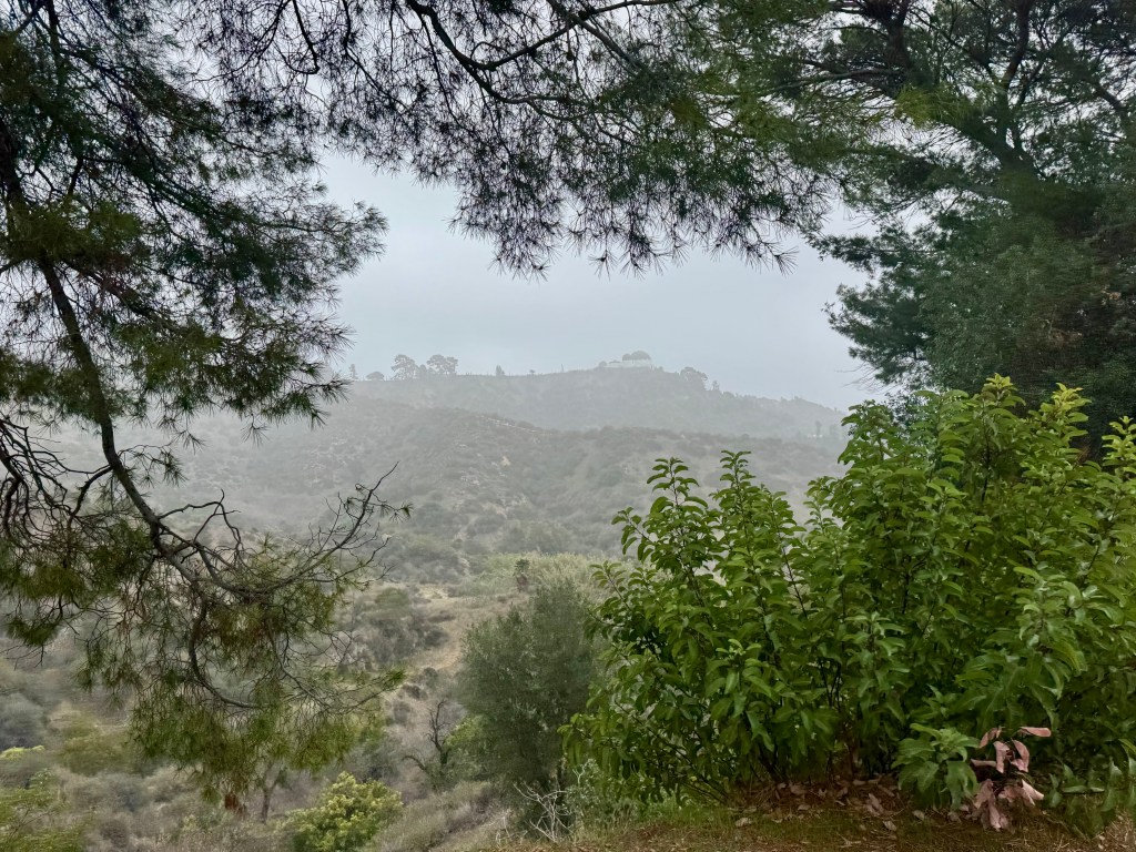
Opening day of the challenge began with a visit to Cafe Nido, which was featured on the Instagram list of most beautiful coffee shops in LA. My friend Jennifer agreed to join me for the experience. We were both planning to attend an event in East Hollywood that day, and Cafe Nido would be on the way. We rolled our bikes into the pretty patio area that is filled with lots of plants and books. I had a pumpkin mocha (delicious) and a chocolate croissant, while Jennifer had the most impressive yogurt cup I’ve ever seen. The patio area is indeed gorgeous and inviting. From there we rode on to nearby Barnsdall Park for the unveiling of a new bike lane cleaner dubbed Sweeping Beauty. In attendance, and honored for having supported this project, was L.A. City Councilmember Hugo Martinez, who has also been a strong supporter of the Hollywood Blvd bike lanes. Since we got to the park at little early, we had time to ride up the hill to take in the views and appreciate the beautiful Hollyhock House, a Frank Lloyd Wright gem that was his first Los Angeles commission and the highlight of Barnsdall Art Park.

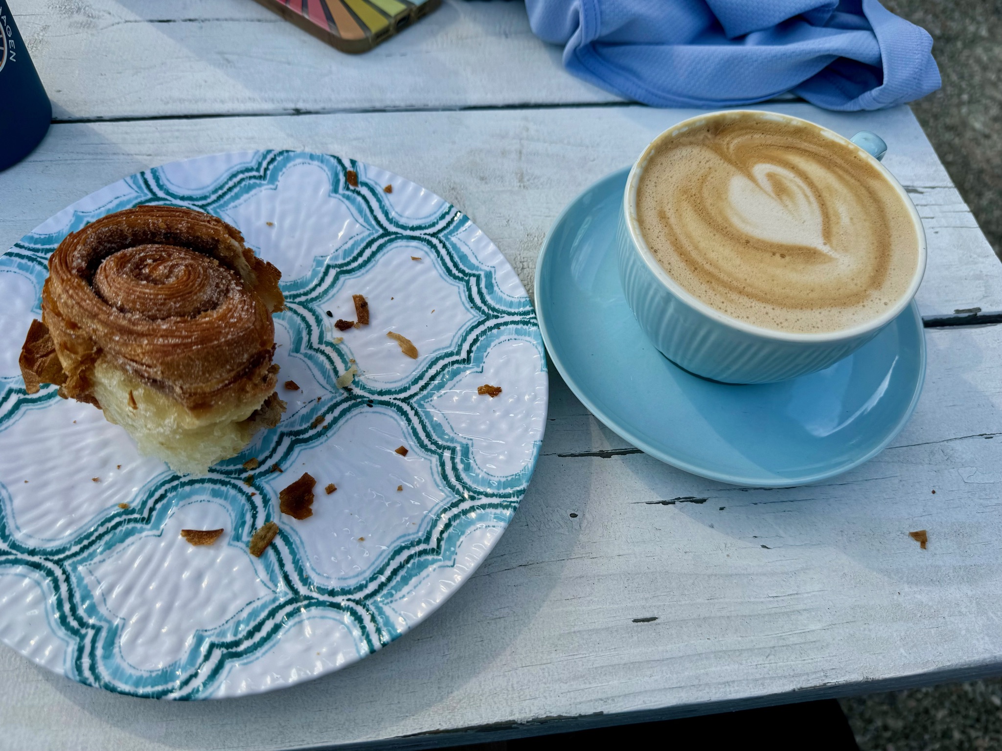
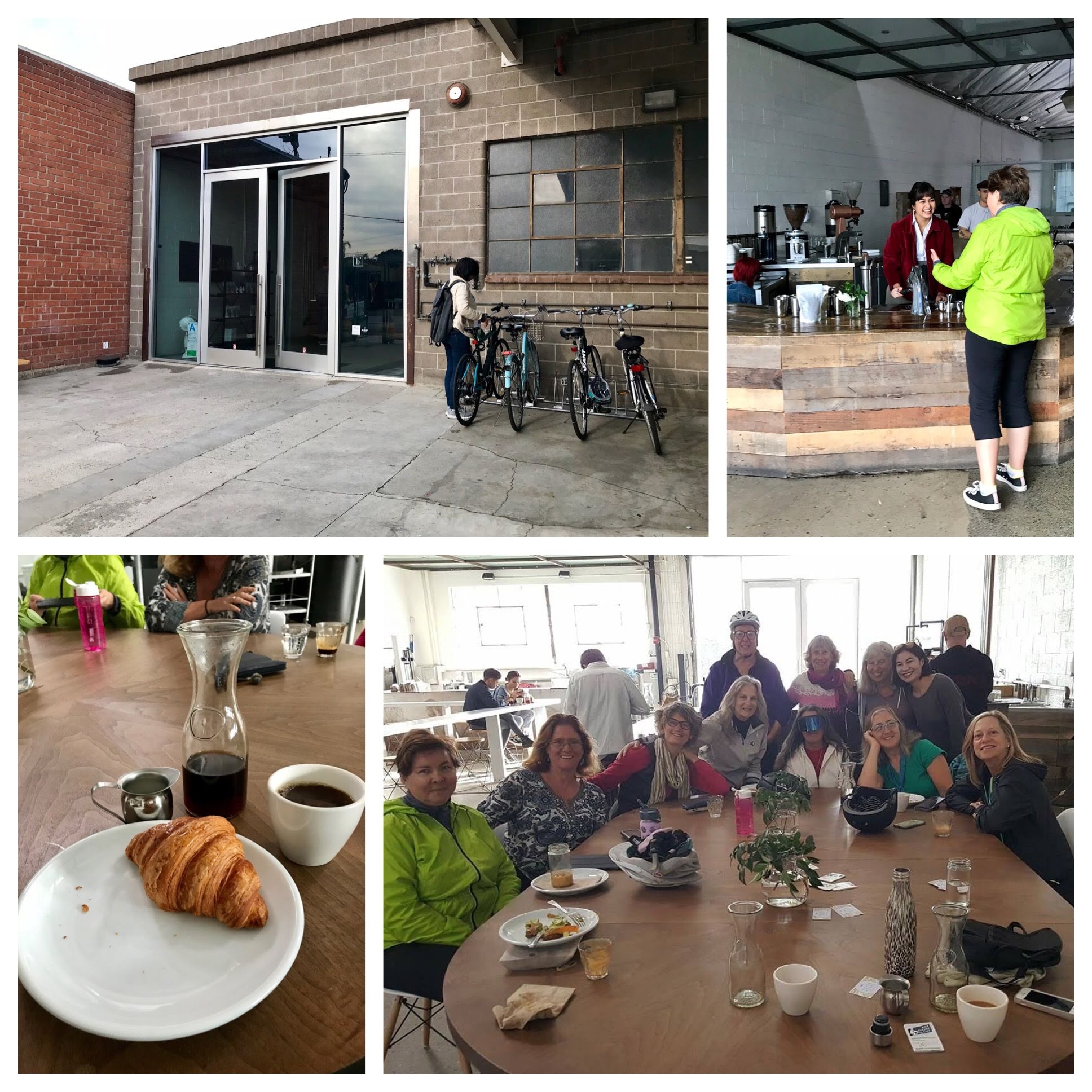
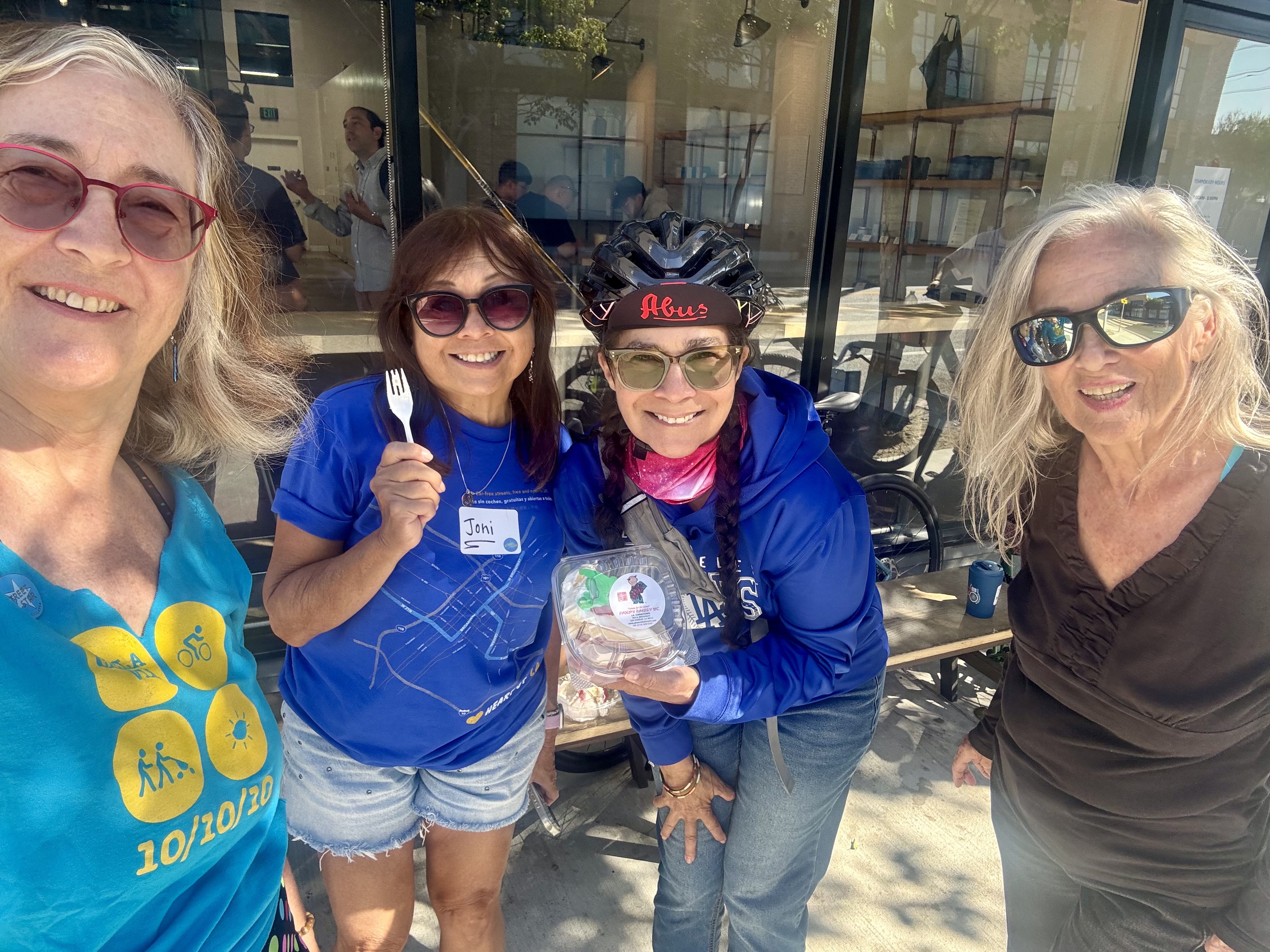
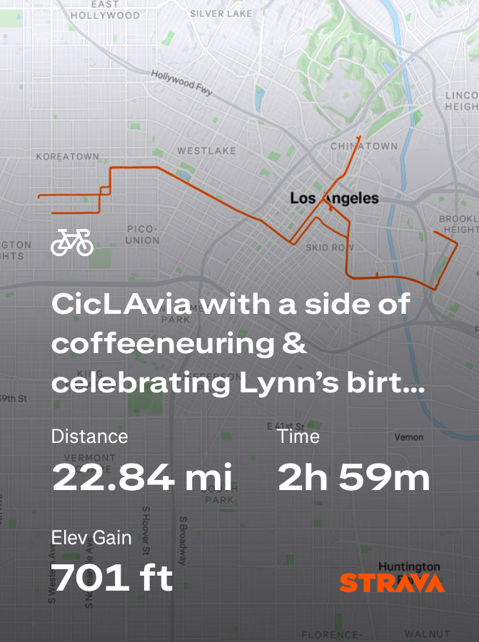
Control No. 2: 10/12/25 Blue Bottle Coffee in the Arts District (downtown Los Angeles)
Beverage: NOLA Shakerato (latte shaken over ice with vanilla)
Bike: Brompton
Bloomers: Party Pants
C+1: Joni, Lynn, Jennifer + several thousand Angelenos
Beauty: Car-free streets
Miles: 22.8
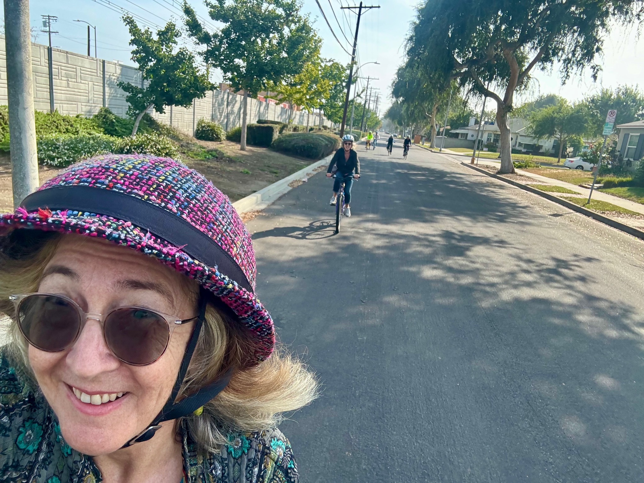
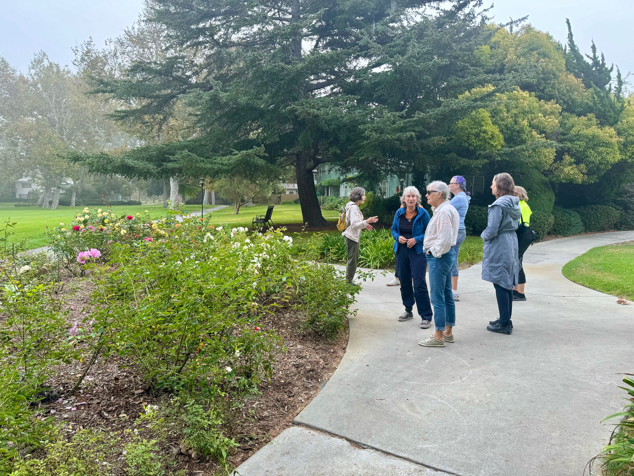
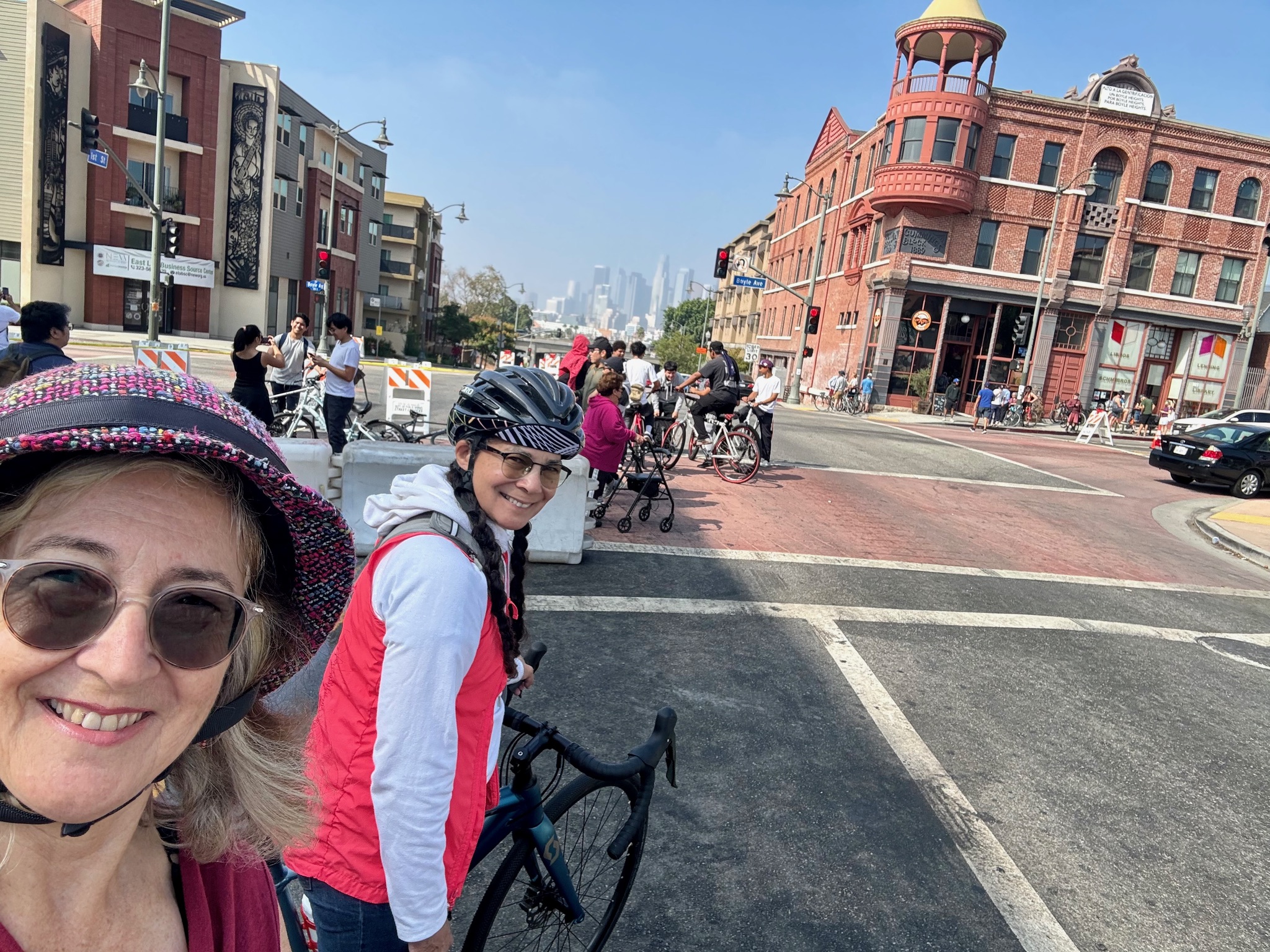
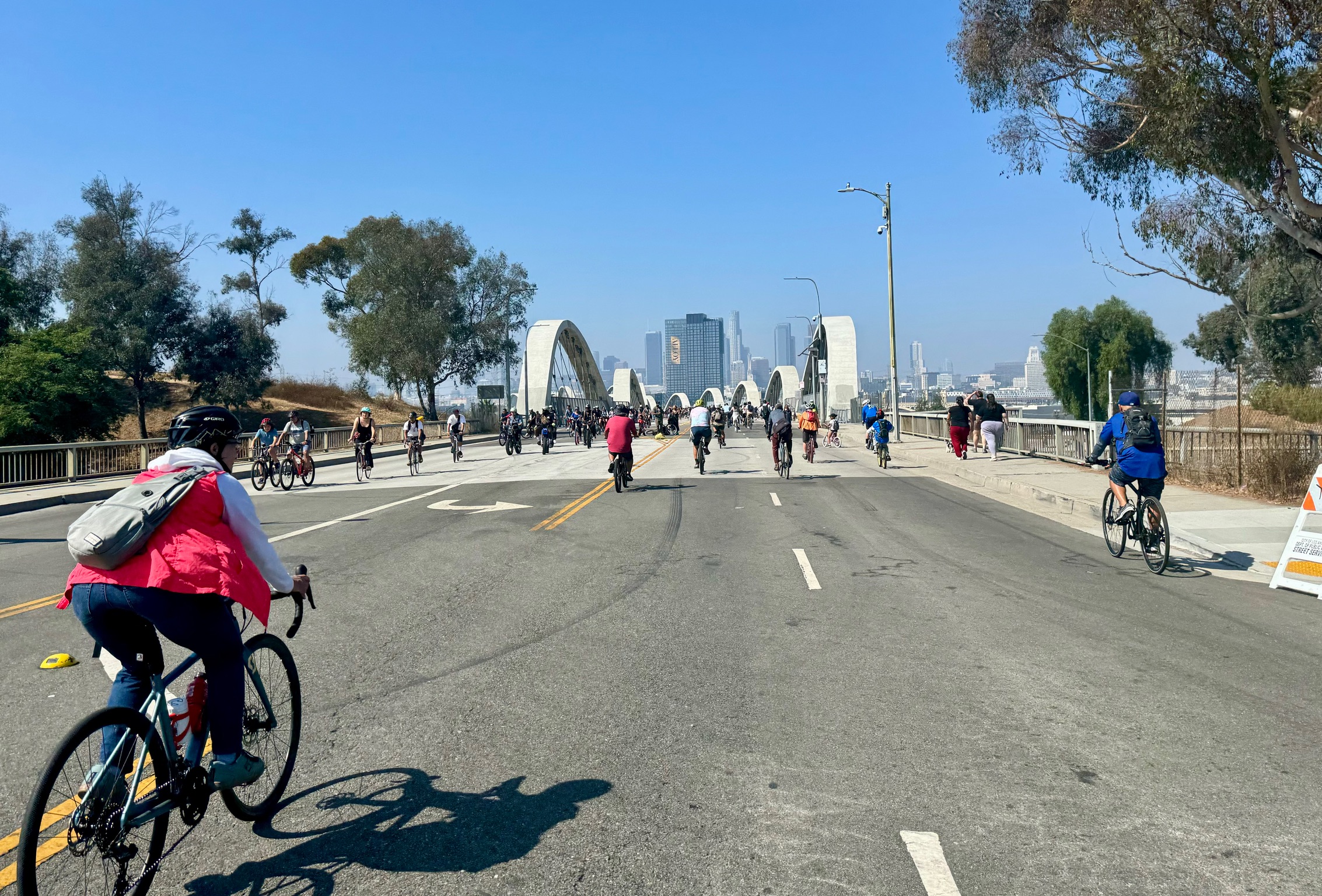
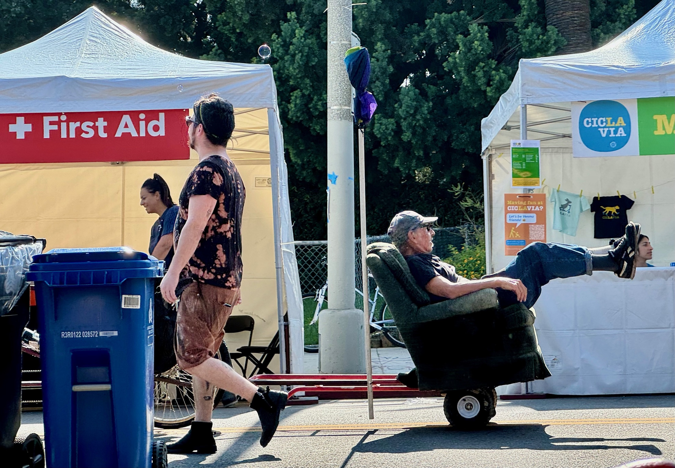
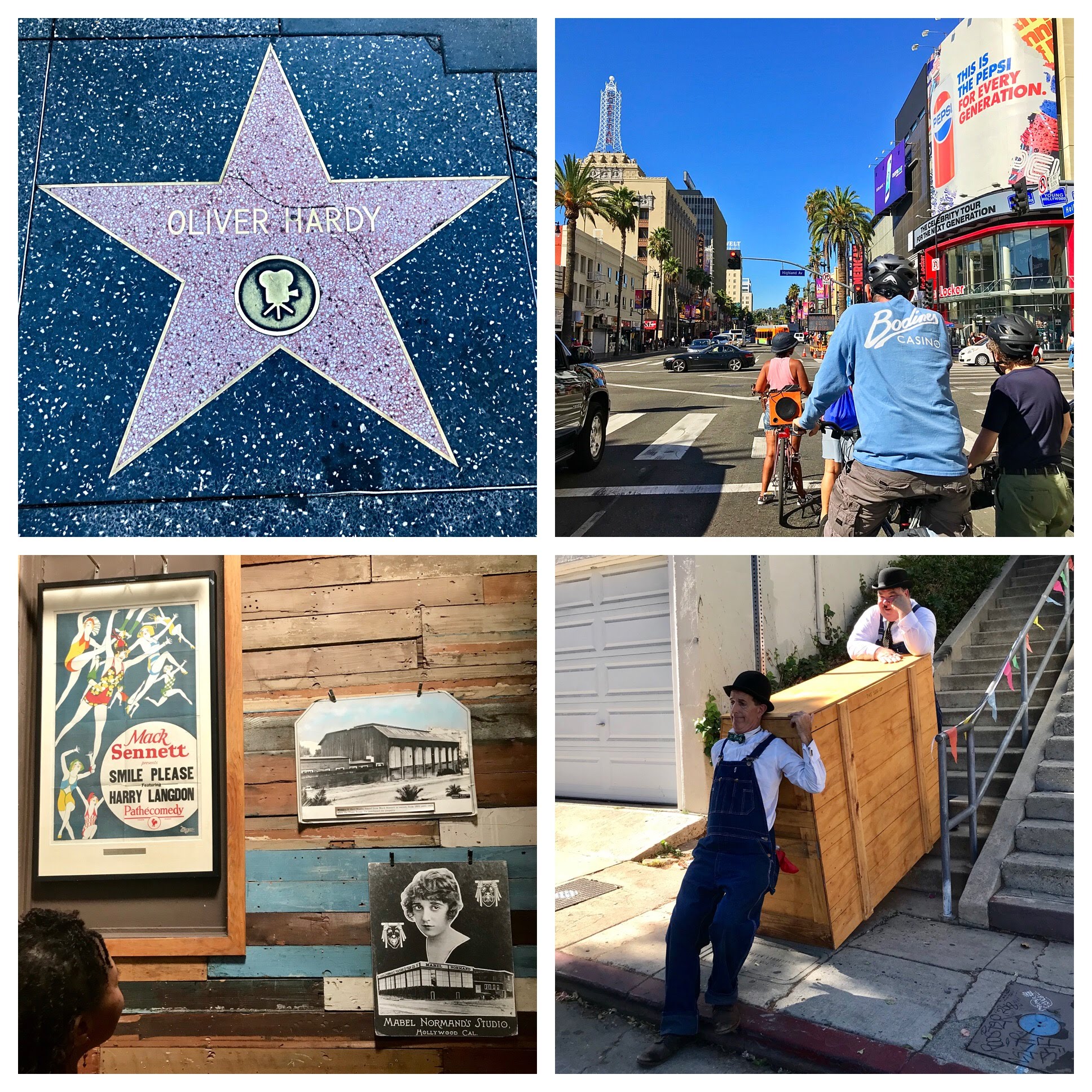
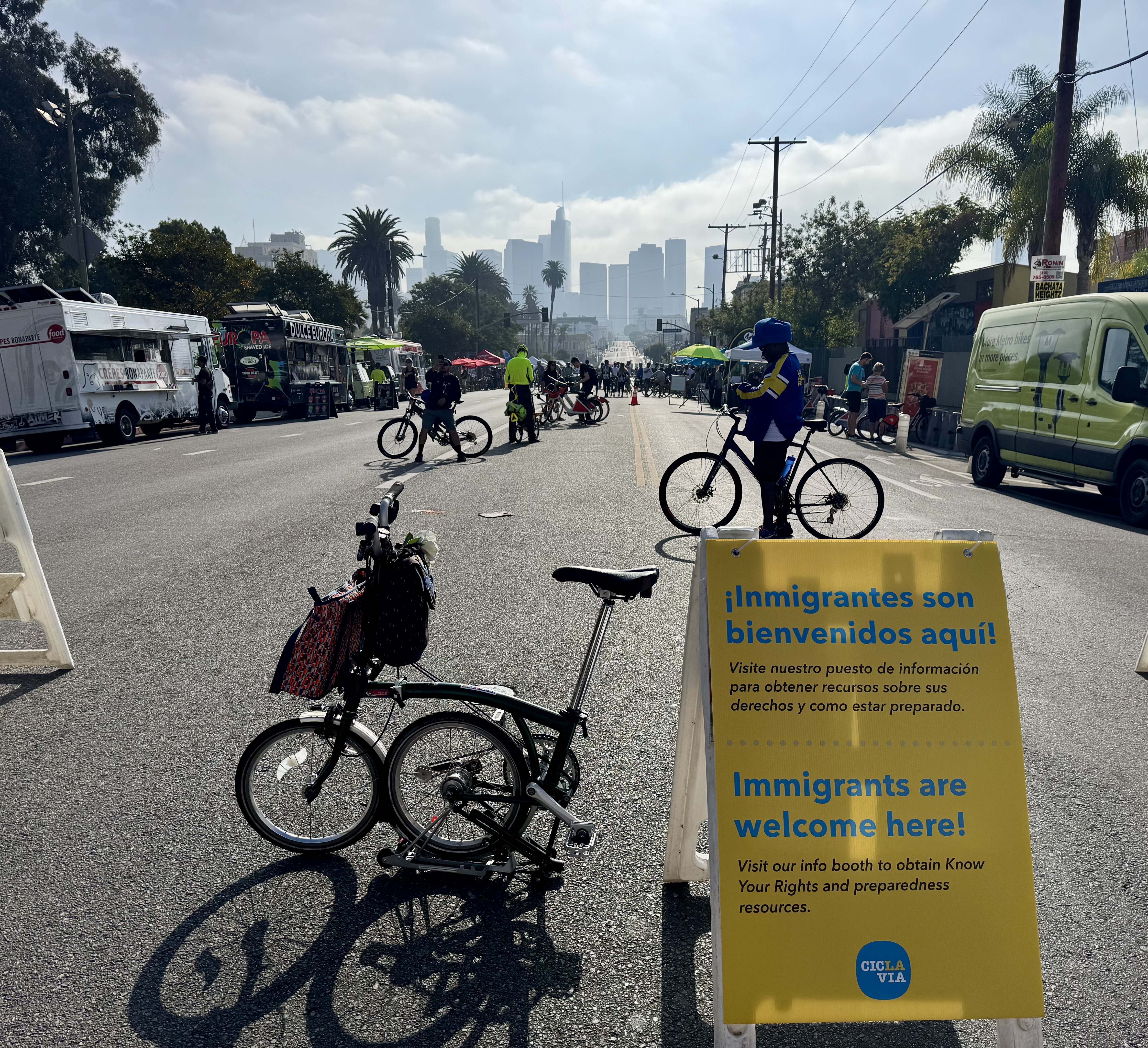
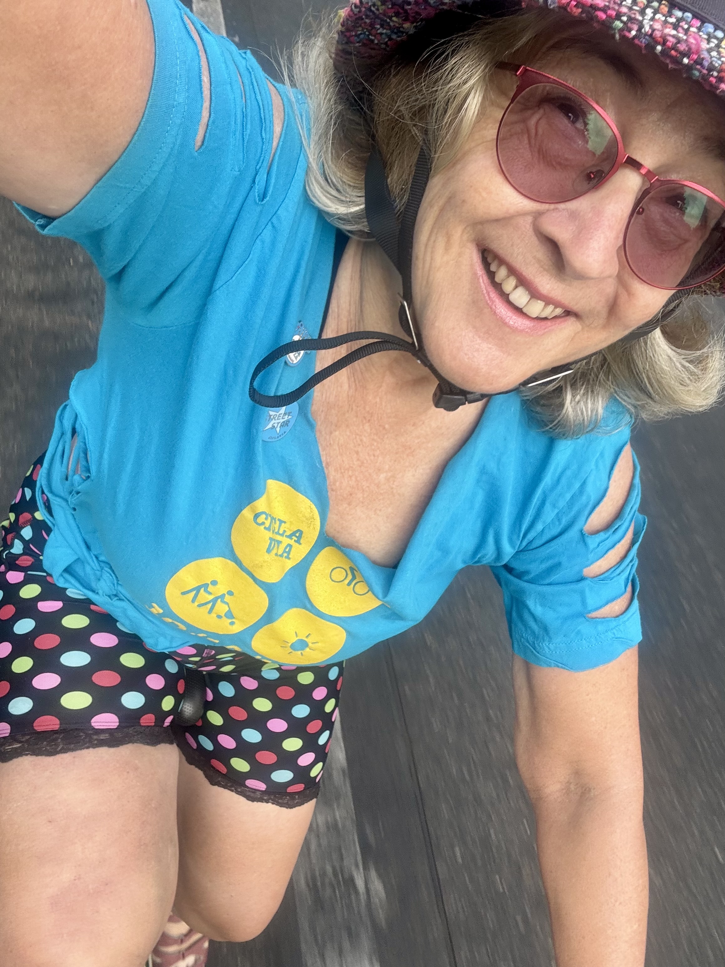
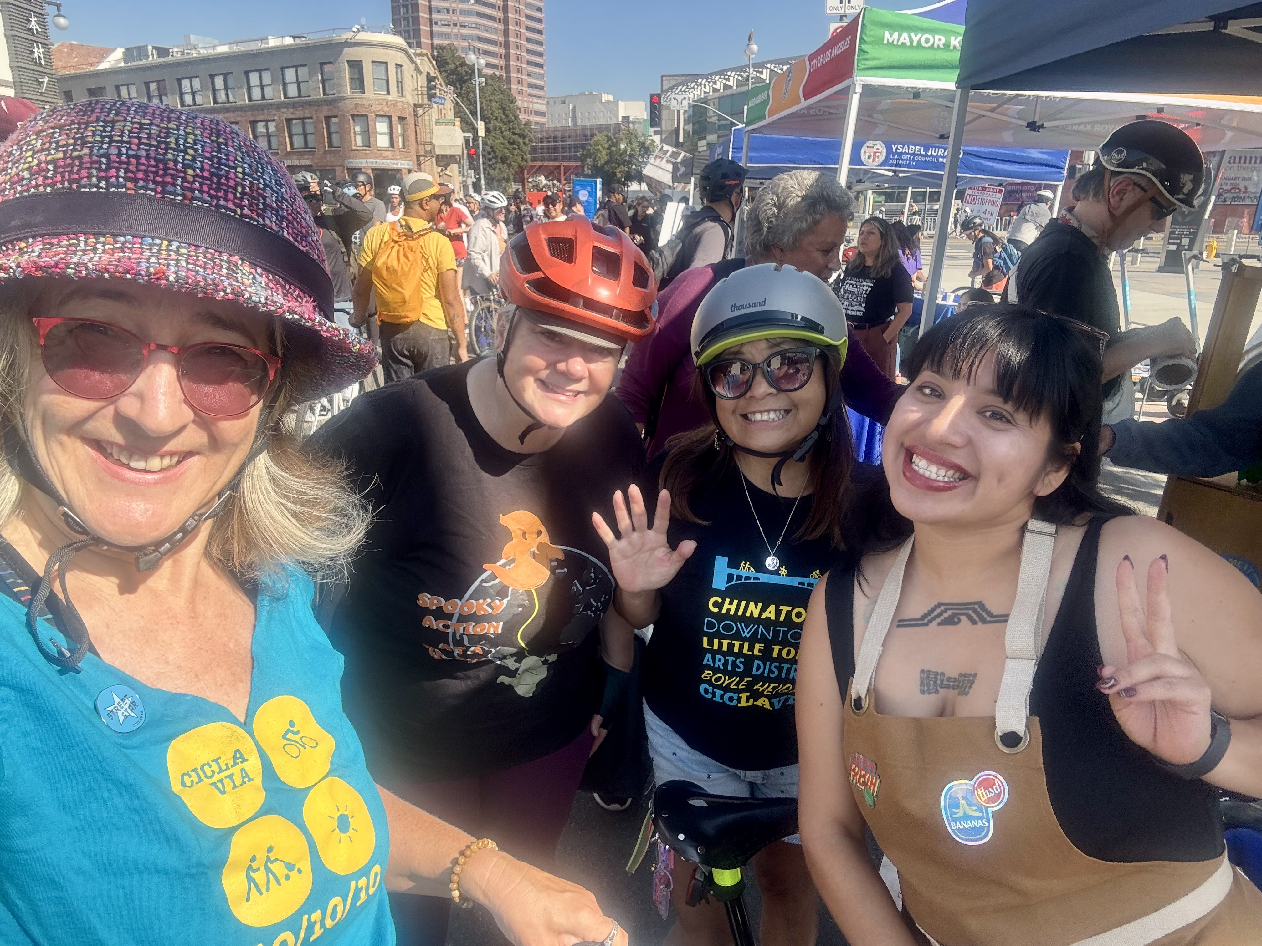
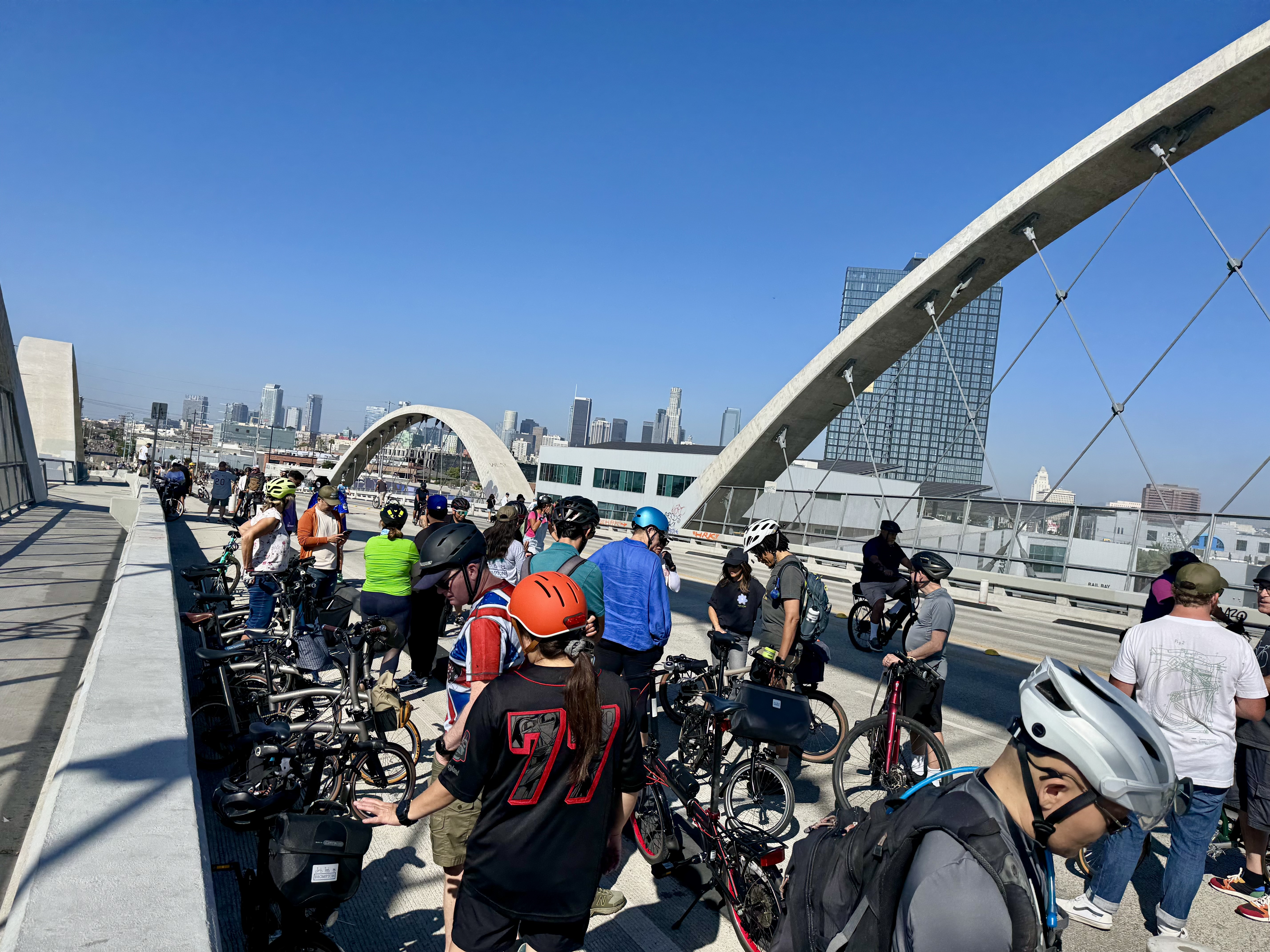
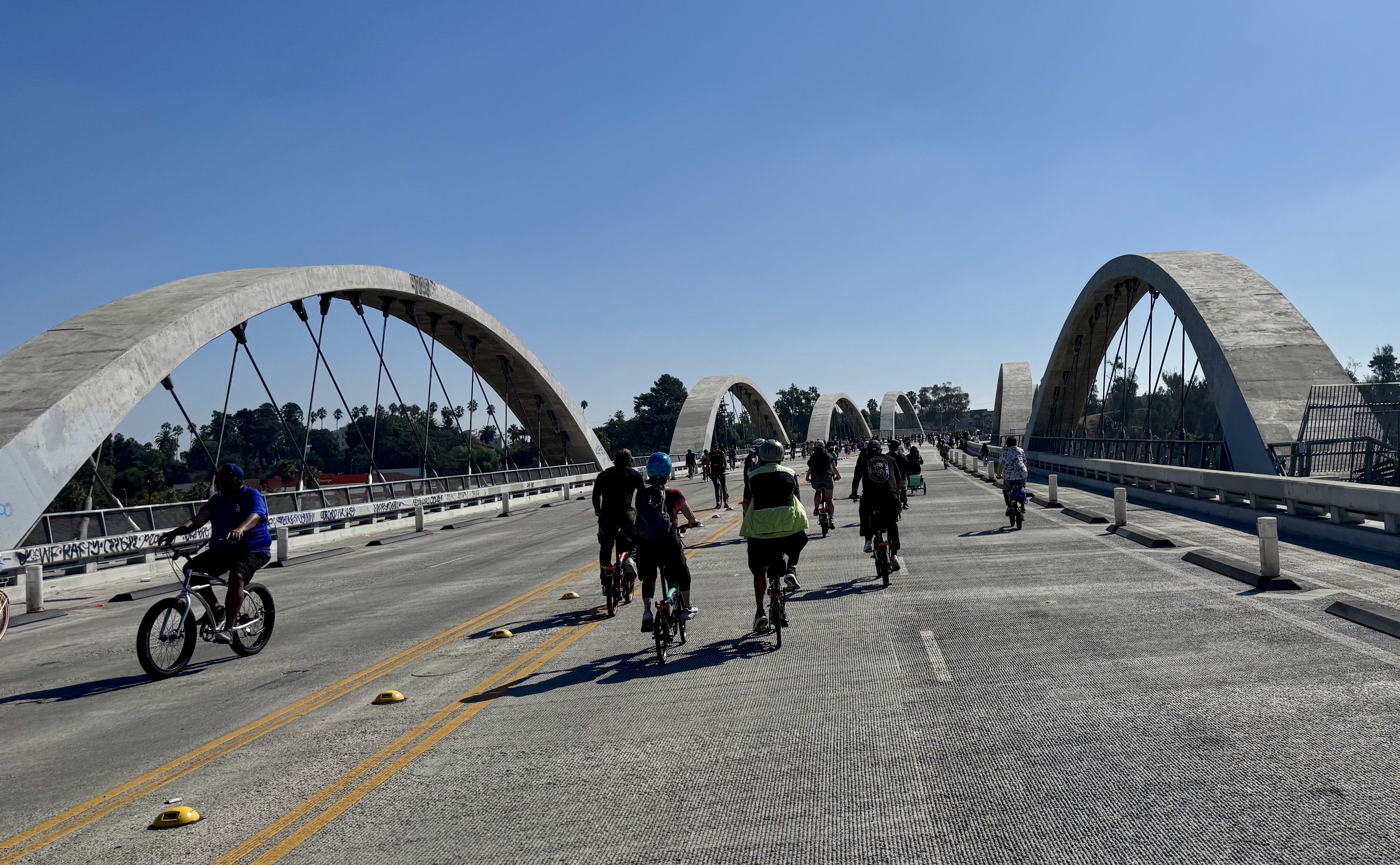
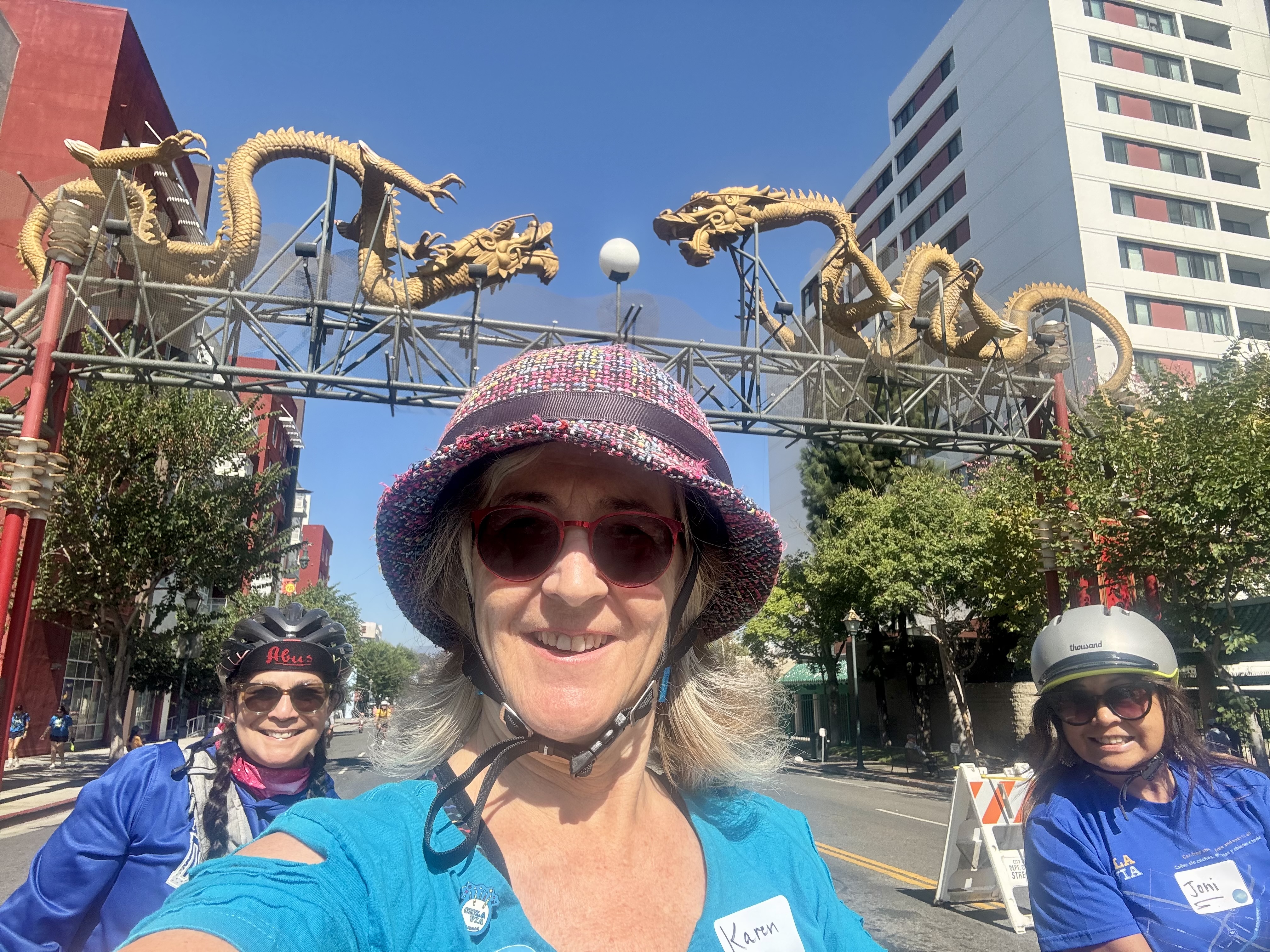
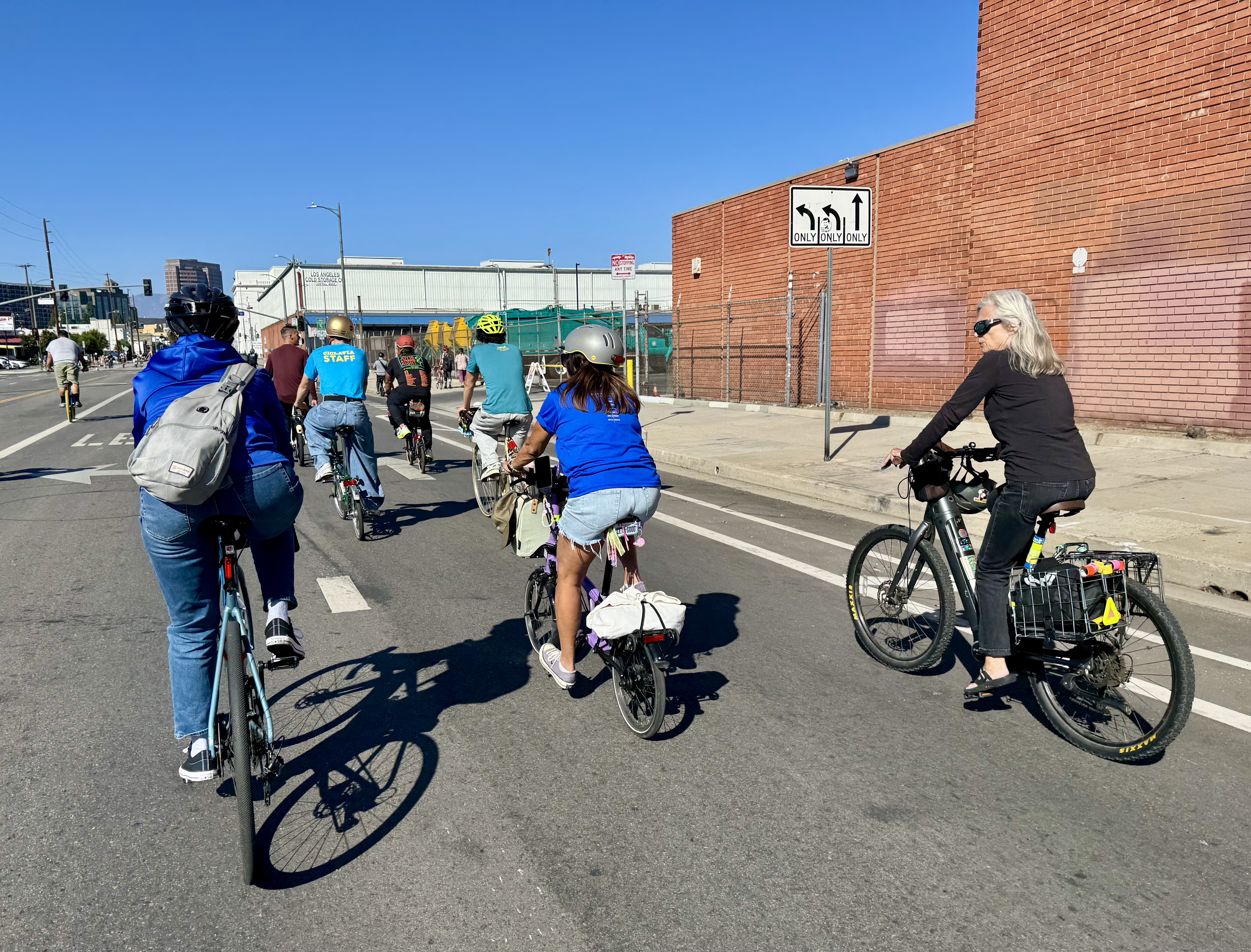
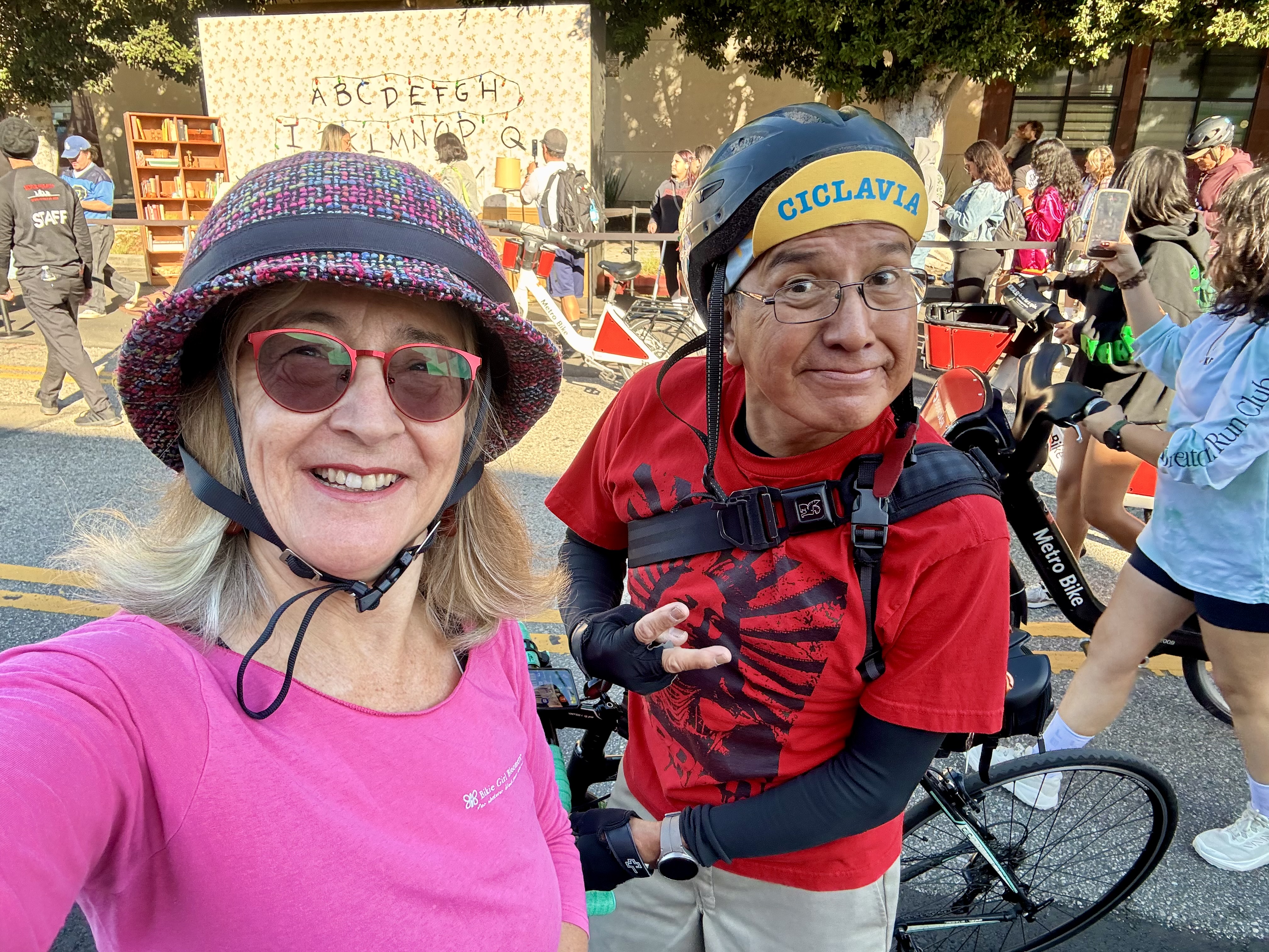
The very next day was another one of L.A.’s iconic open streets events: CicLAvia. Two of my favorite things, CicLAvia and Coffeeneuring are both celebrating 15 years! What an auspicious kickoff weekend for the coffeeneuring season. I celebrated by wearing my Party Pants Bloomers with the tee shirt I have from the very first CicLAvia held on 10/10/10. CicLAvia always means running into my bike friends, and today we got to celebrate a birthday for Lynn. Today’s CicLAvia route (they change to different parts of the city and different routes each time) honored the route of the first CicLAvia, in what is referred to as the Heart of LA route, which centers on downtown, with legs extending out to MacArthur Park to the west, Chinatown to the north, and Boyle Heights to the East.
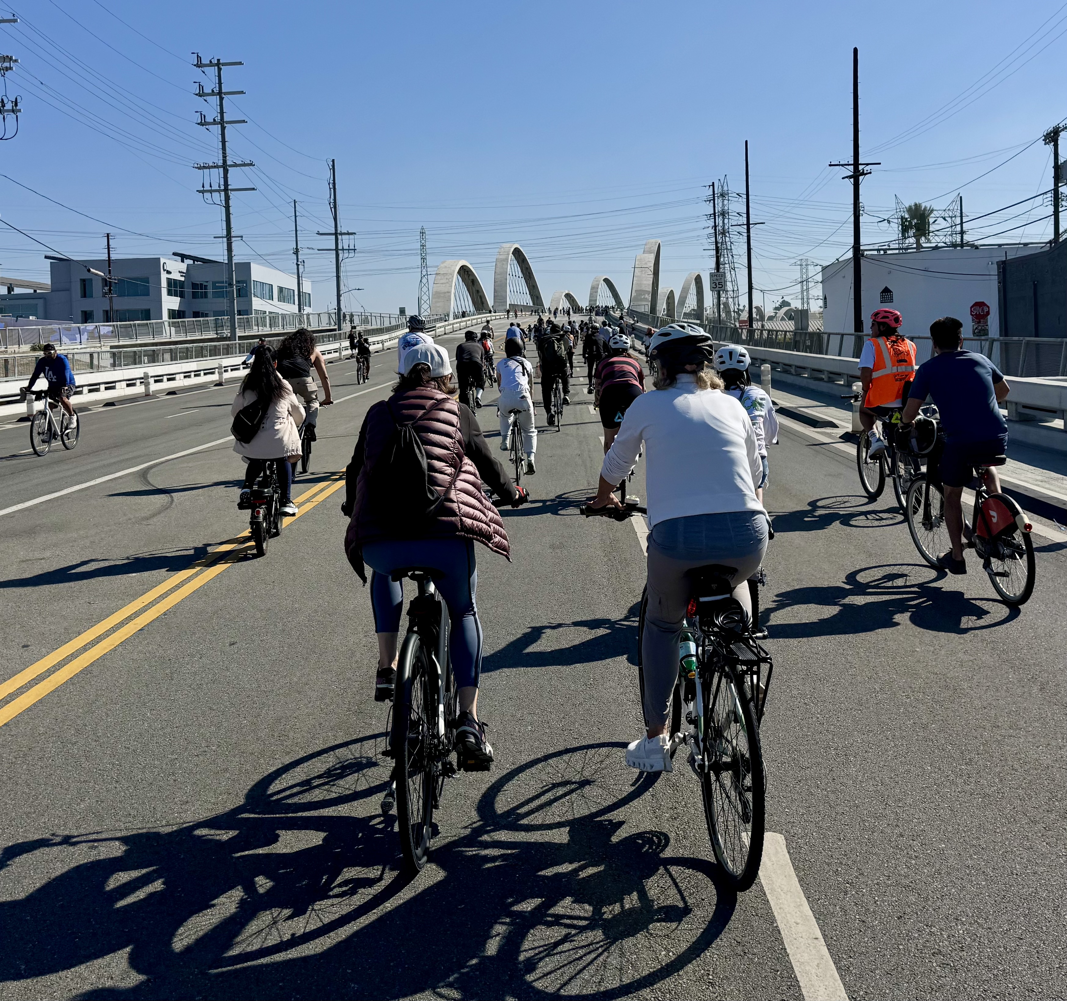
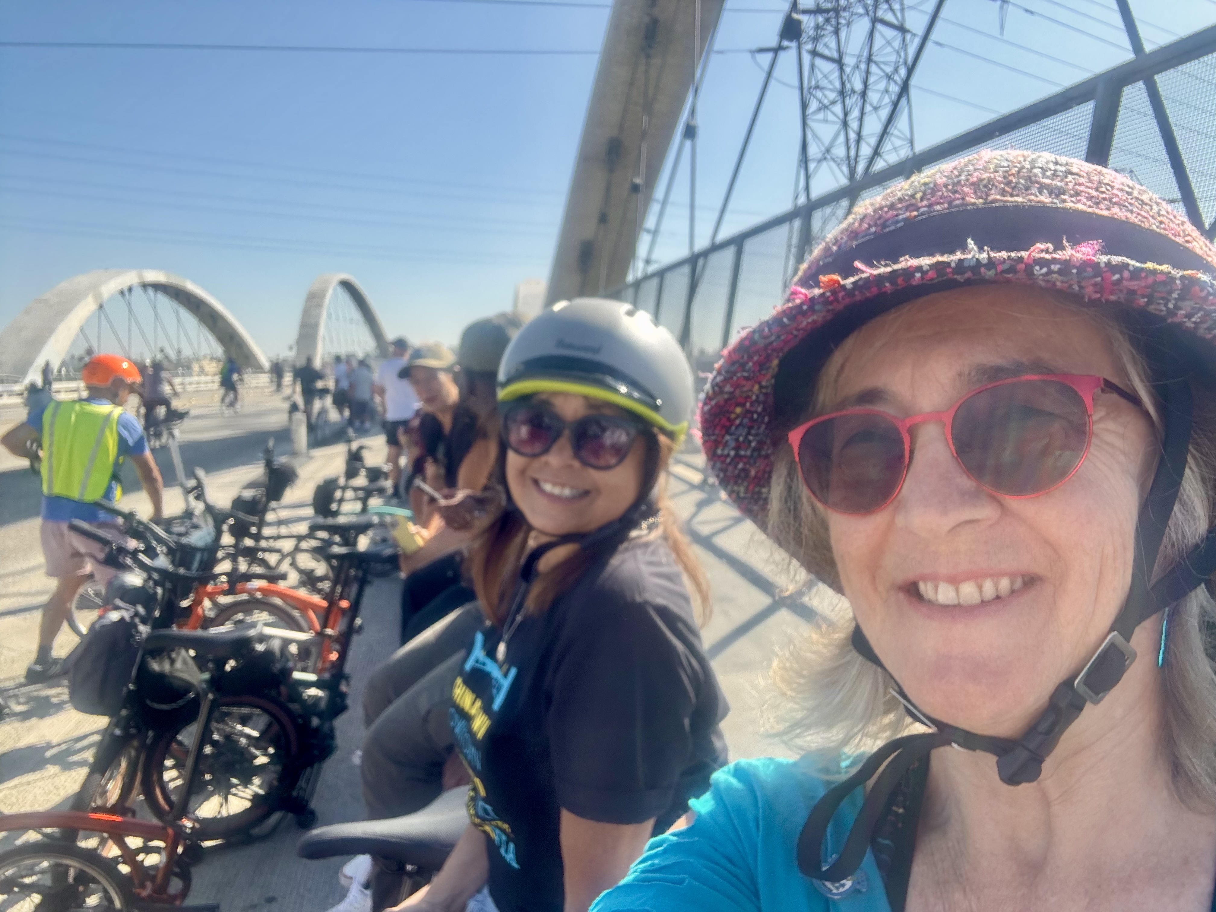
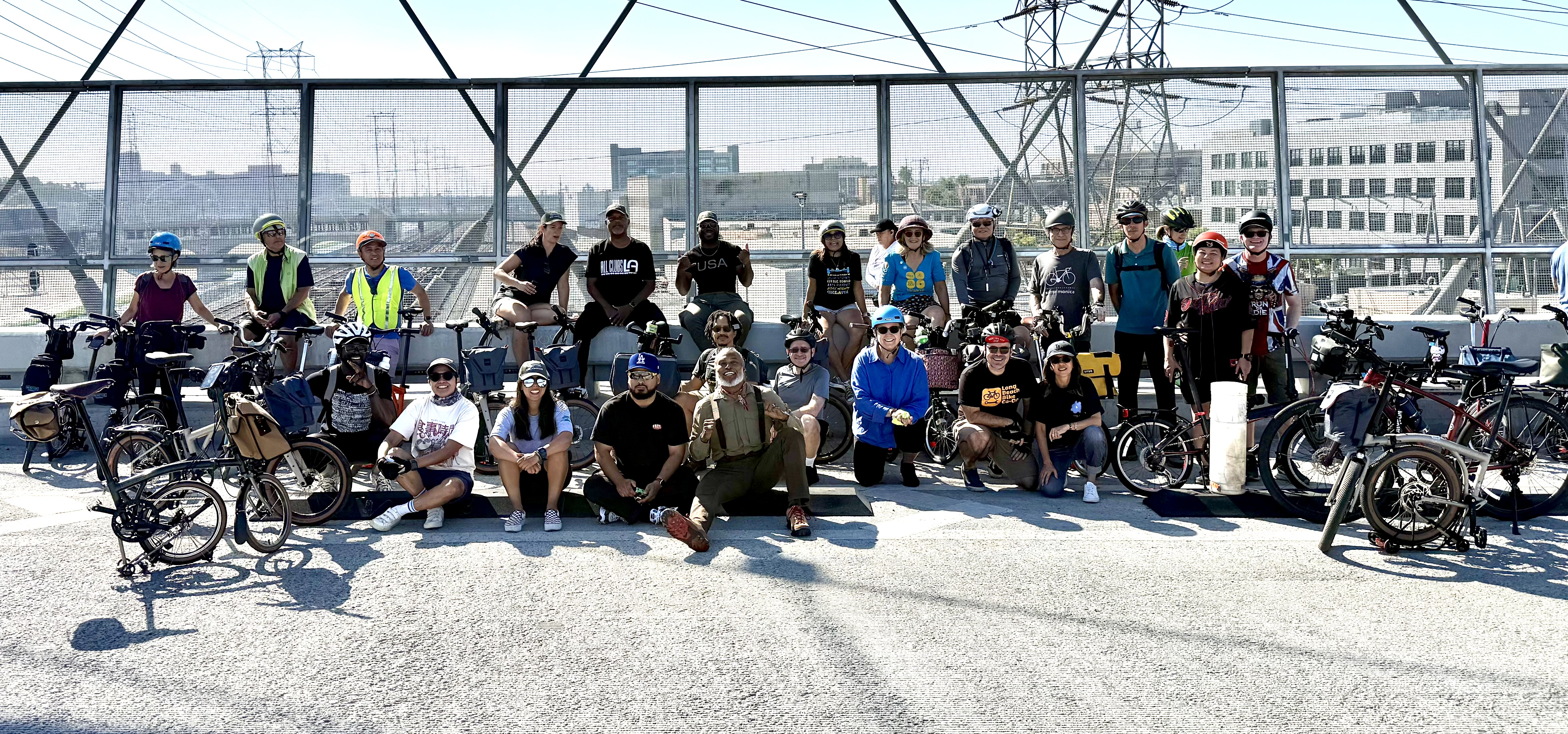
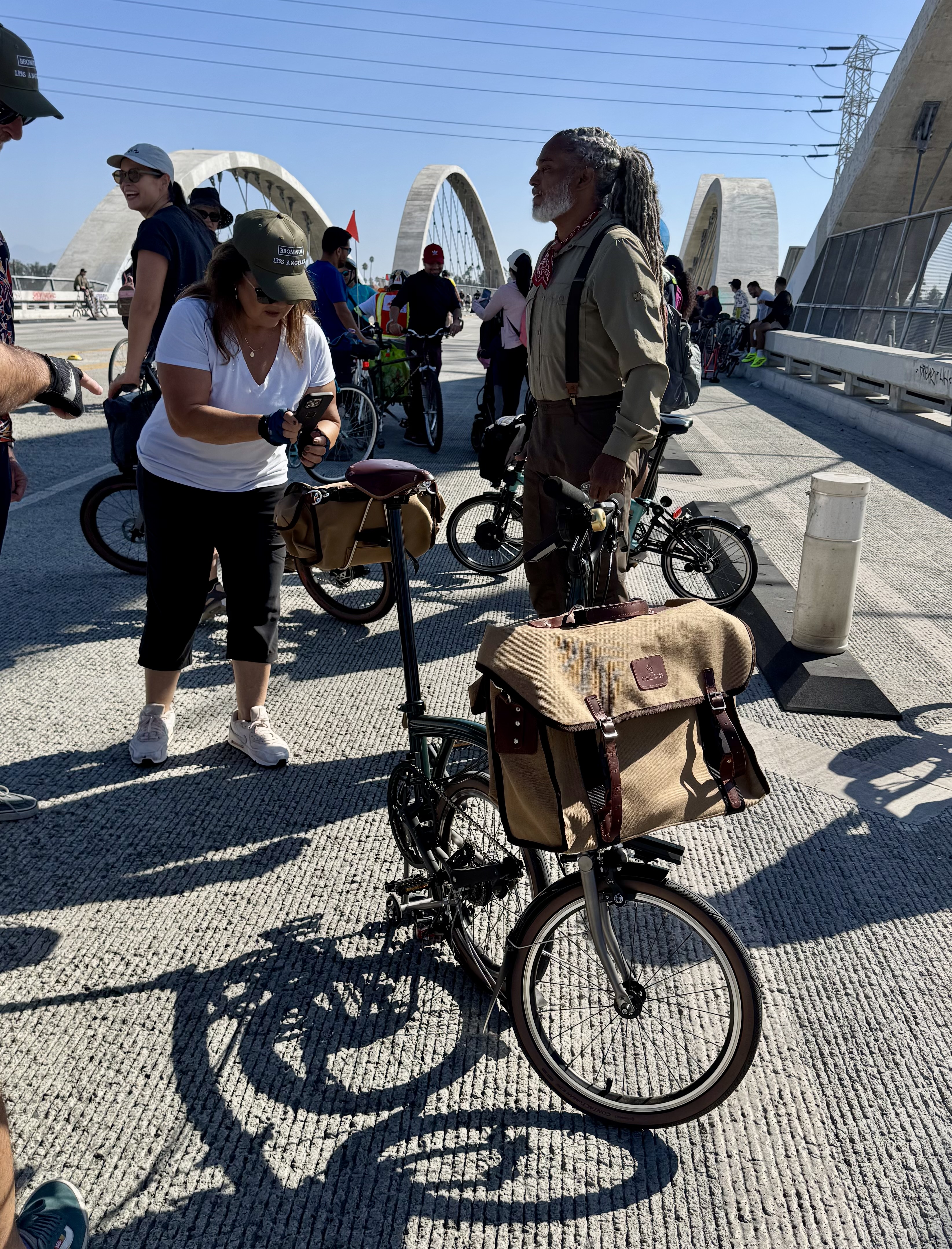
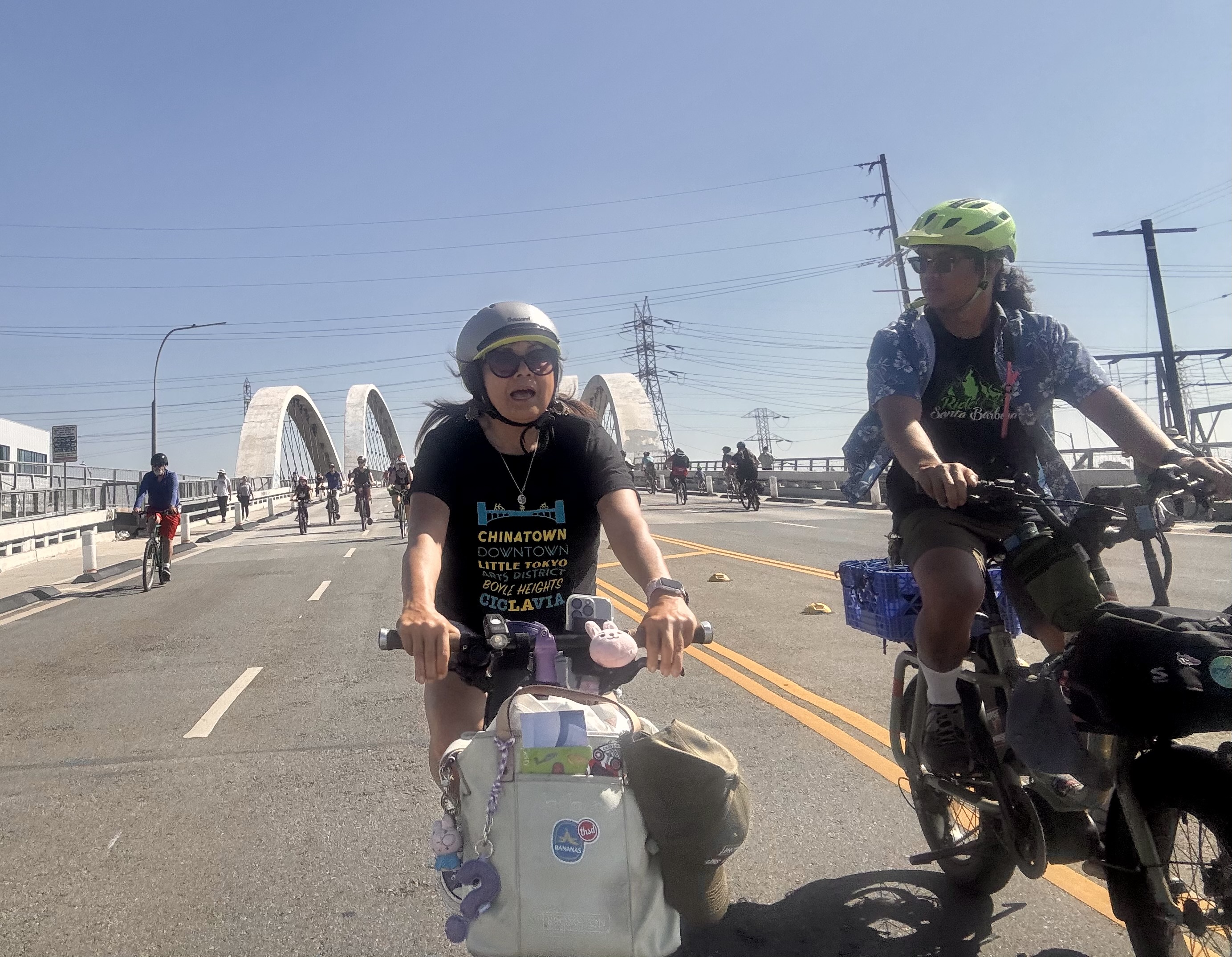
I hopped on the course at MacArthur Park and quite soon saw a large group of folks on Bromptons. I realized this must be the organized Brompton group that often rides together at CicLAvia events. I don’t always ride my Brompton for these events, but this time I did. I spotted my Brompton-owning friend Joni and she encouraged me to partake of the provided coffee and pastries, but it looked like the good stuff had already been taken. I did ride with the group into downtown where we participated in a group photo on the 6th Street Bridge. It was an impressively large group. One Brompton was drawing a lot of attention, the specially outfitted one ridden by Eric Cedeño, also known as the Bicycle Nomad. He is a fun one to follow on Instagram.
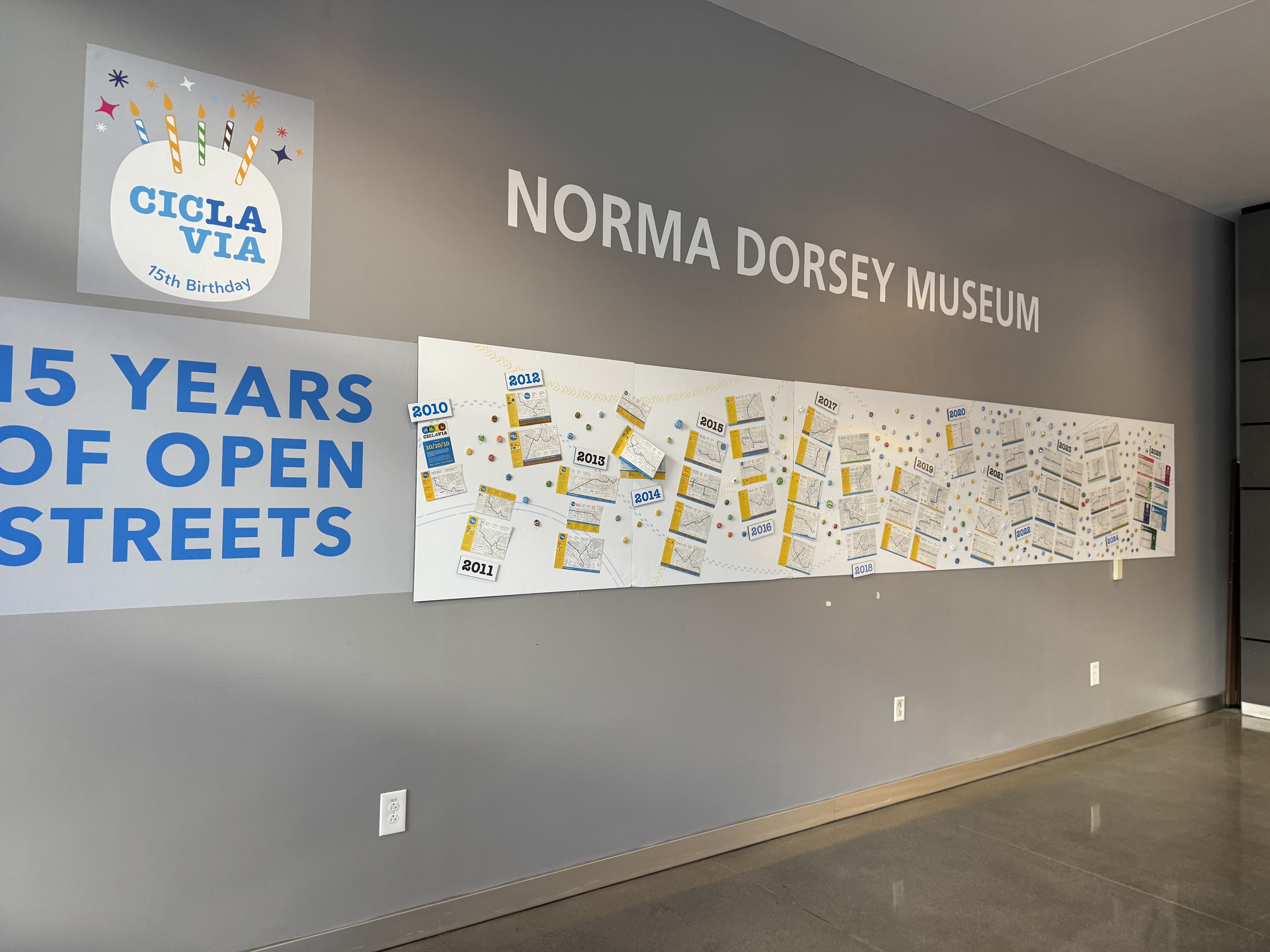
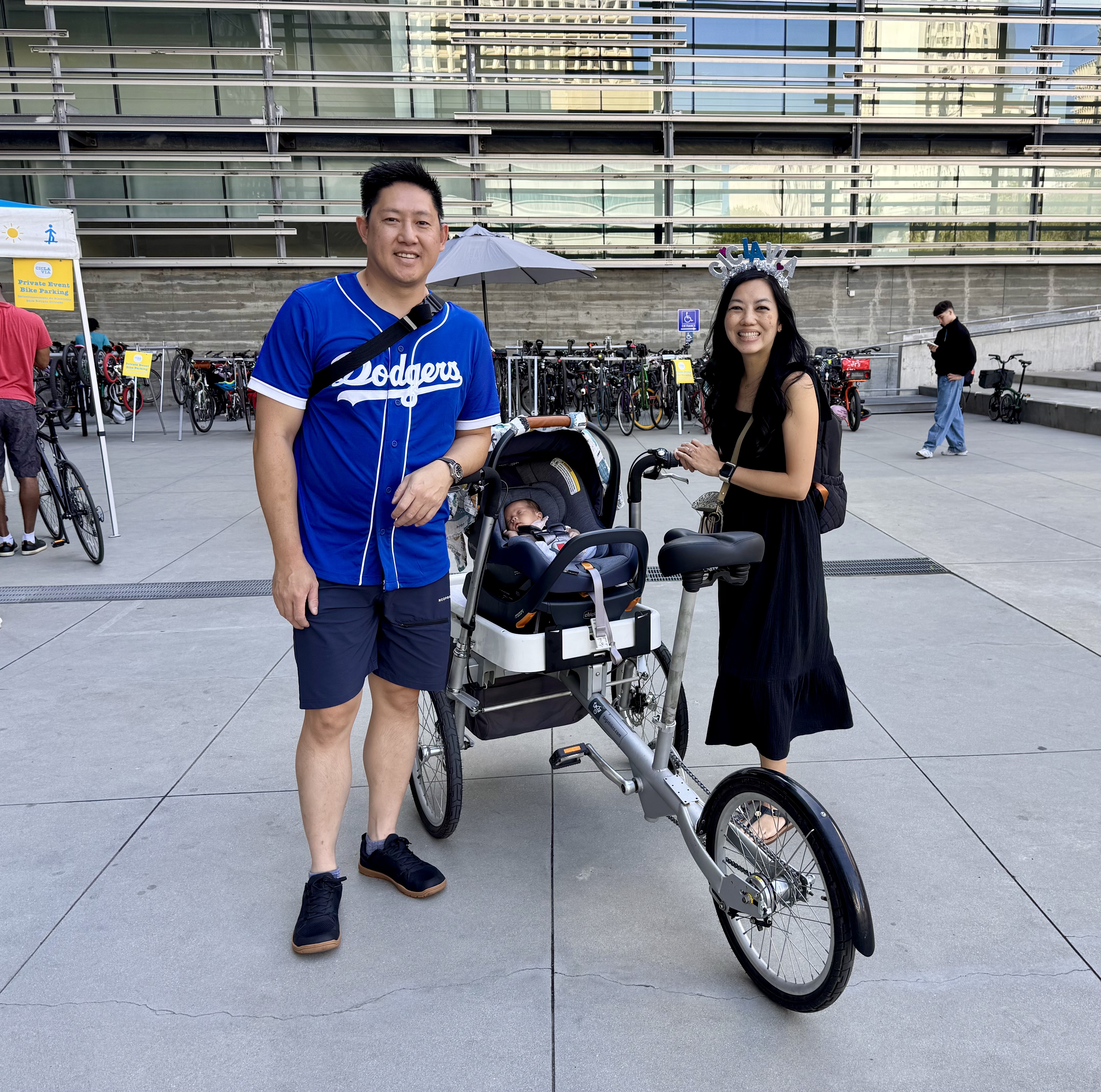
From there, we rode on into Boyle Heights and then doubled back through downtown and joined the CicLAvia “Street Stars” (what they call their monthly donors) for a special celebratory lunch in the courtyard of the CalTrans building. The building has a small museum space off the courtyard that was displaying memoribilia from the 15 year history of CicLAvia events. It’s always fun to hang with bike friends at the Street Stars lunches, but it was especially sweet this time to meet the newest BikieGirl, the baby daughter of one of the most elegant cyclists I know, Serena Liu, a transportation planner with CalTrans. It was also cool to see the cargo bike set up her husband had created for carrying their baby.
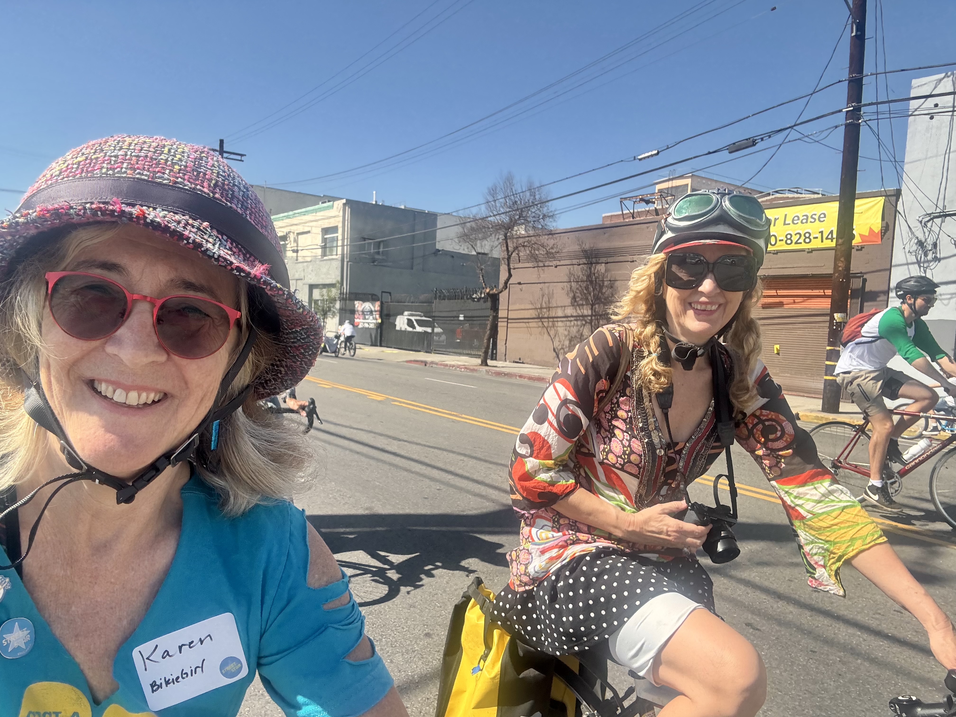
After lunch, we followed the Chinatown leg of the route. There we stopped at a bakery to pick out cake to celebrate Lynn’s birthday. And because I was wanting to visit Zinc Cafe and the Arts District (it was on the Instagram list of beautiful coffee places AND it was very close to the CicLAvia route), we had planned to meet (Joni, Jennifer, Lynn and me) there. Along the way, I rode alongside Carolin Kewer, the creative force behind the legendary Art Crash rides that used to happen from time to time in the pre-COVID era. She is one of my favorite examples of a woman who knows how to ride in style!
Unfortunately, Zinc did not appear to be a place where we could bring in our own cake, so we opted instead for the nearby Blue Bottle Coffee, which has a bench along the sidewalk out front. I had to try their intriguing NOLA Shakerato (a latte shaken over ice with vanilla), and we had us a beautiful time enjoying our beverages and Lynn’s birthday cake right there. I will have to save Zinc for another day.
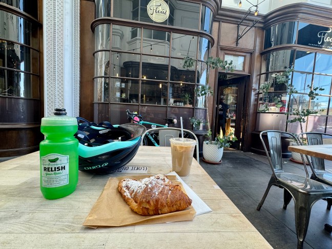
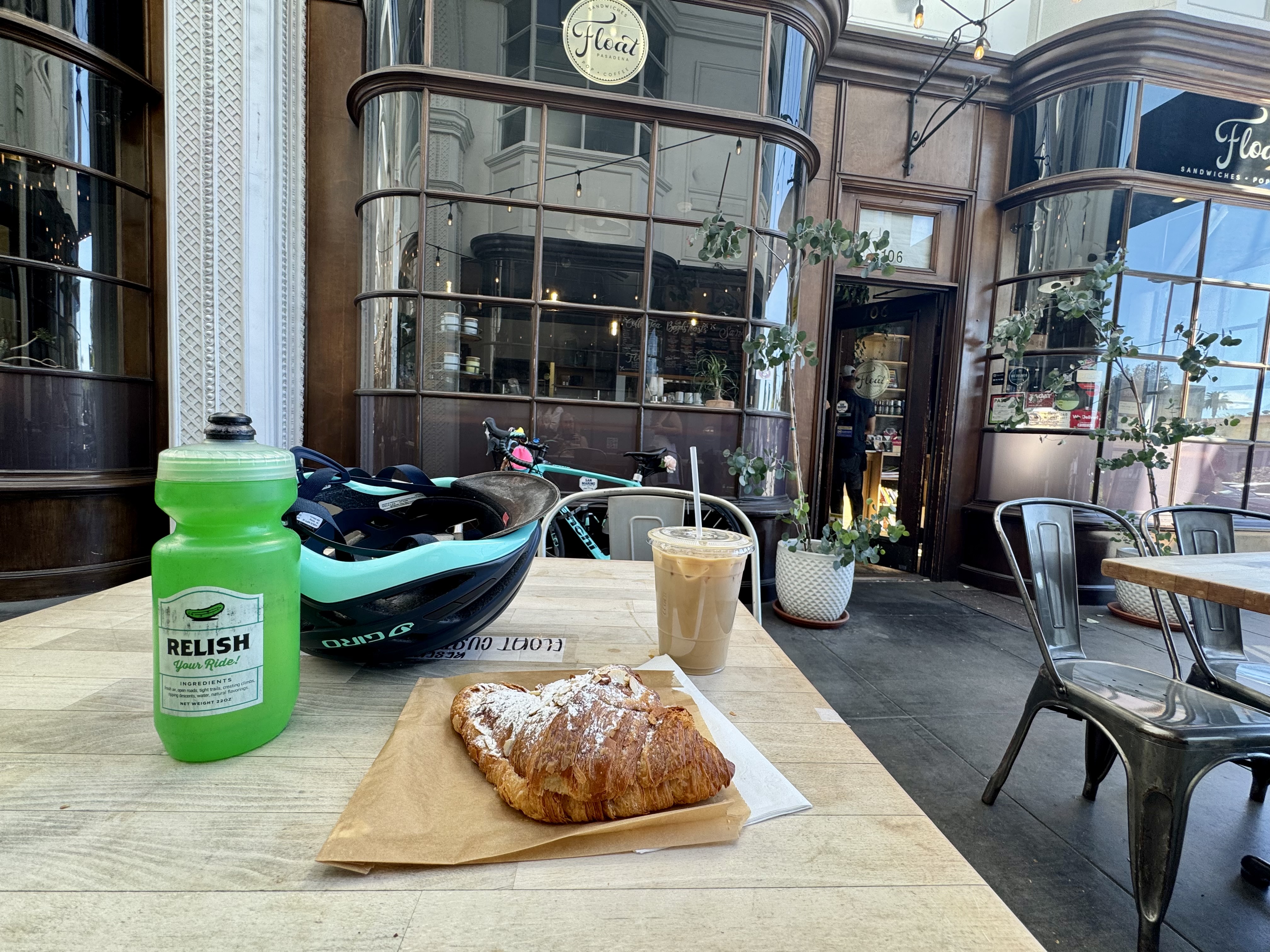
Control No. 3: 10/19/25 Float in Pasadena
Beverage: Iced Honey Lavender Latte (+ almond croissant)
Bike: Infinito
Bloomers: Hot Pink Zebra
C+1: Spirit of Coffeeneuring (as in alone, but not lonely)
Beauty: Old-timey arcade + scenic route
Miles: 37
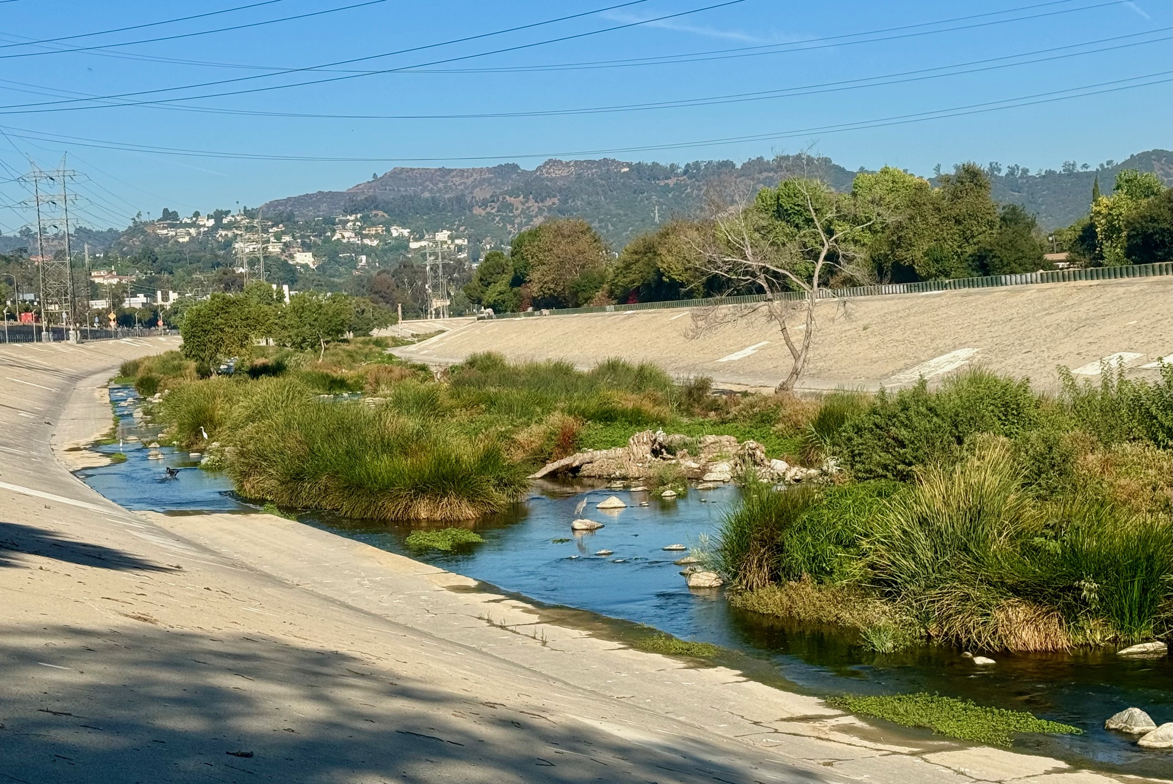
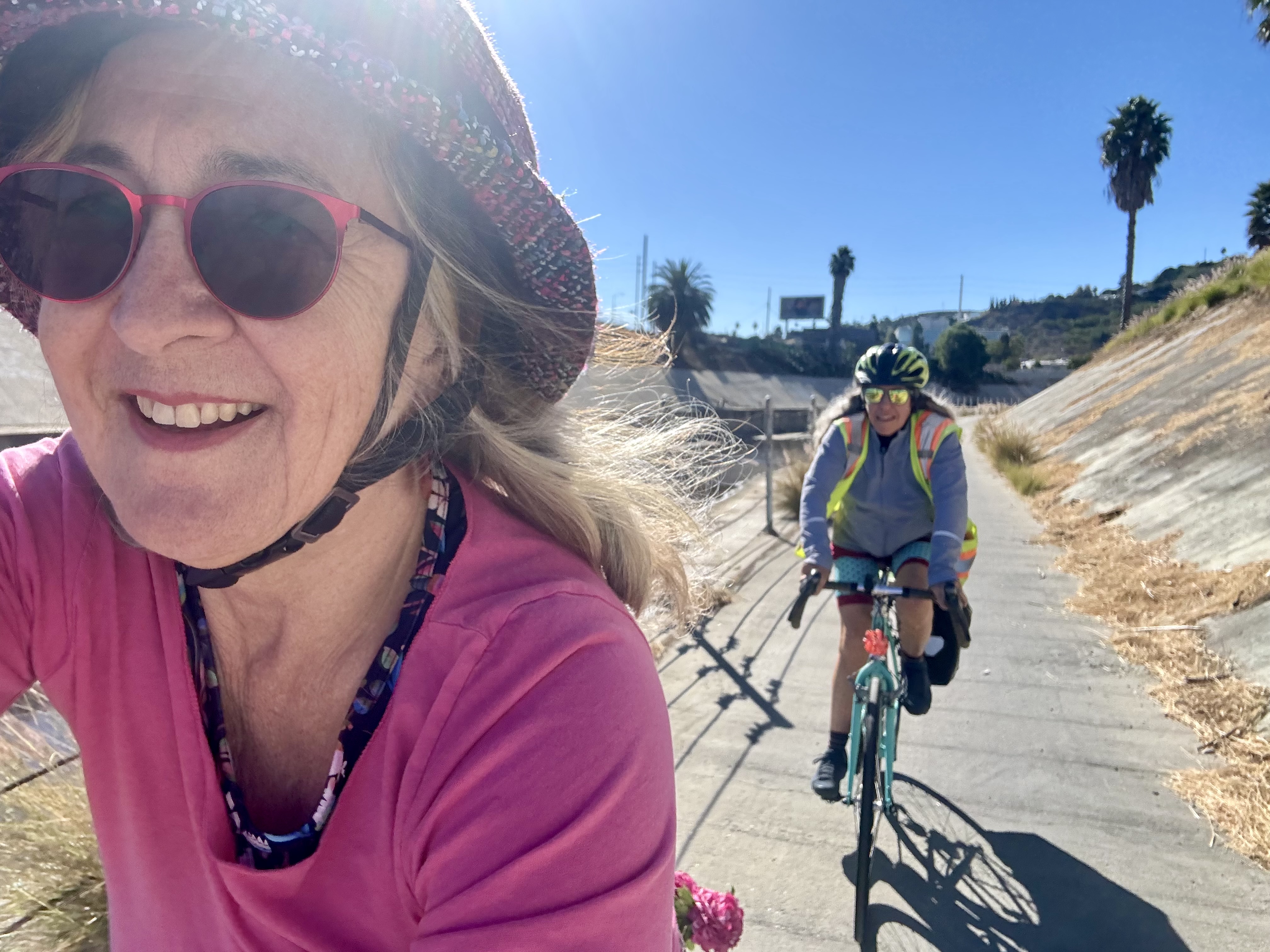
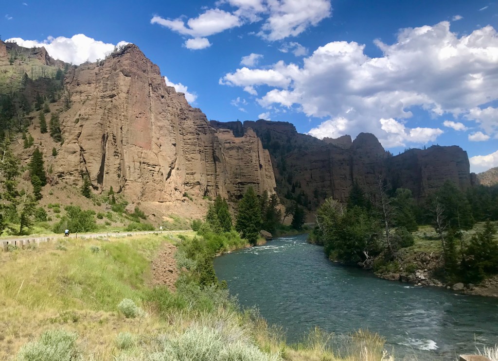
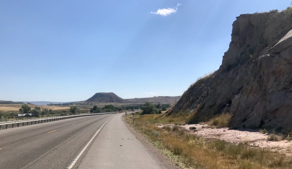
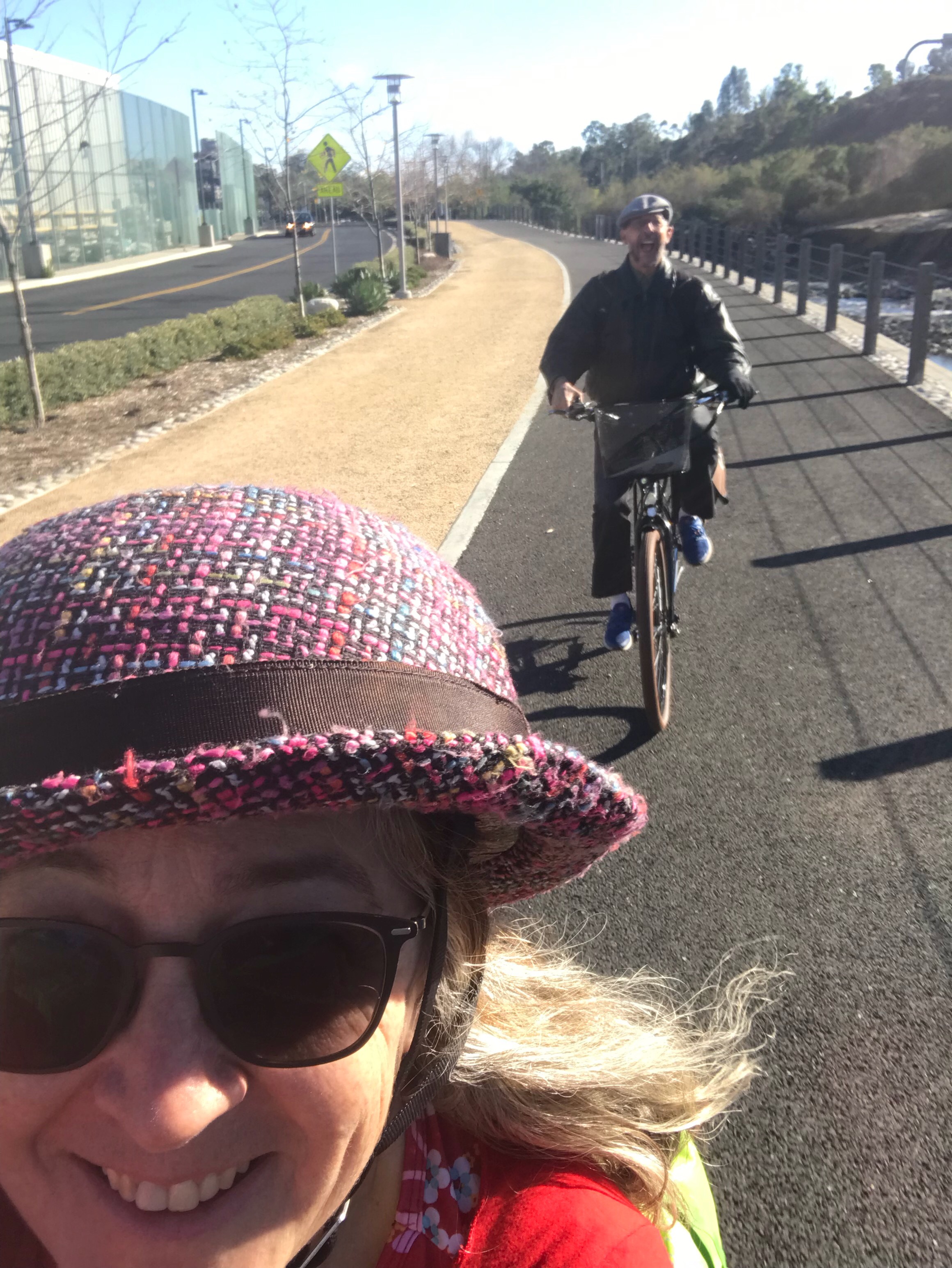
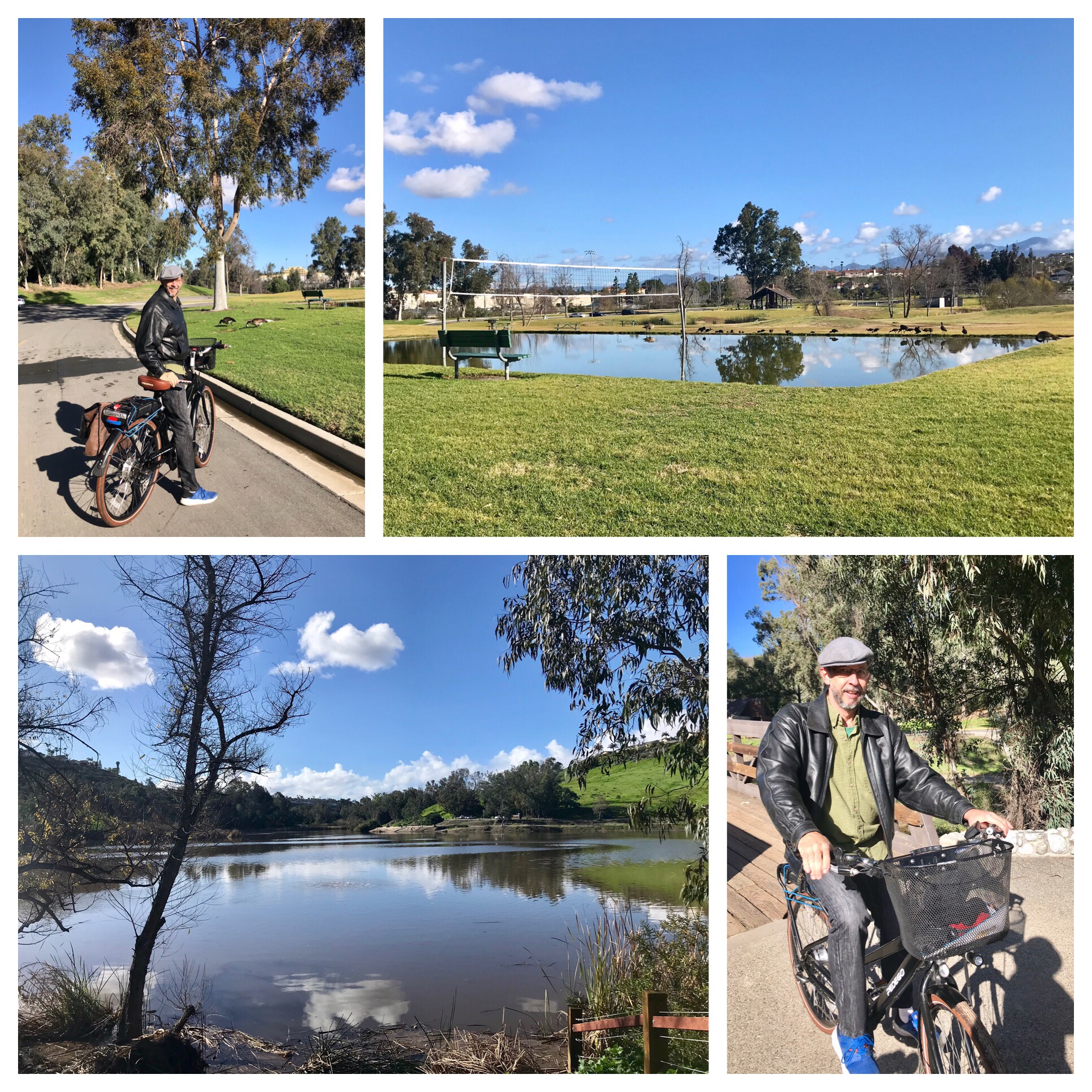
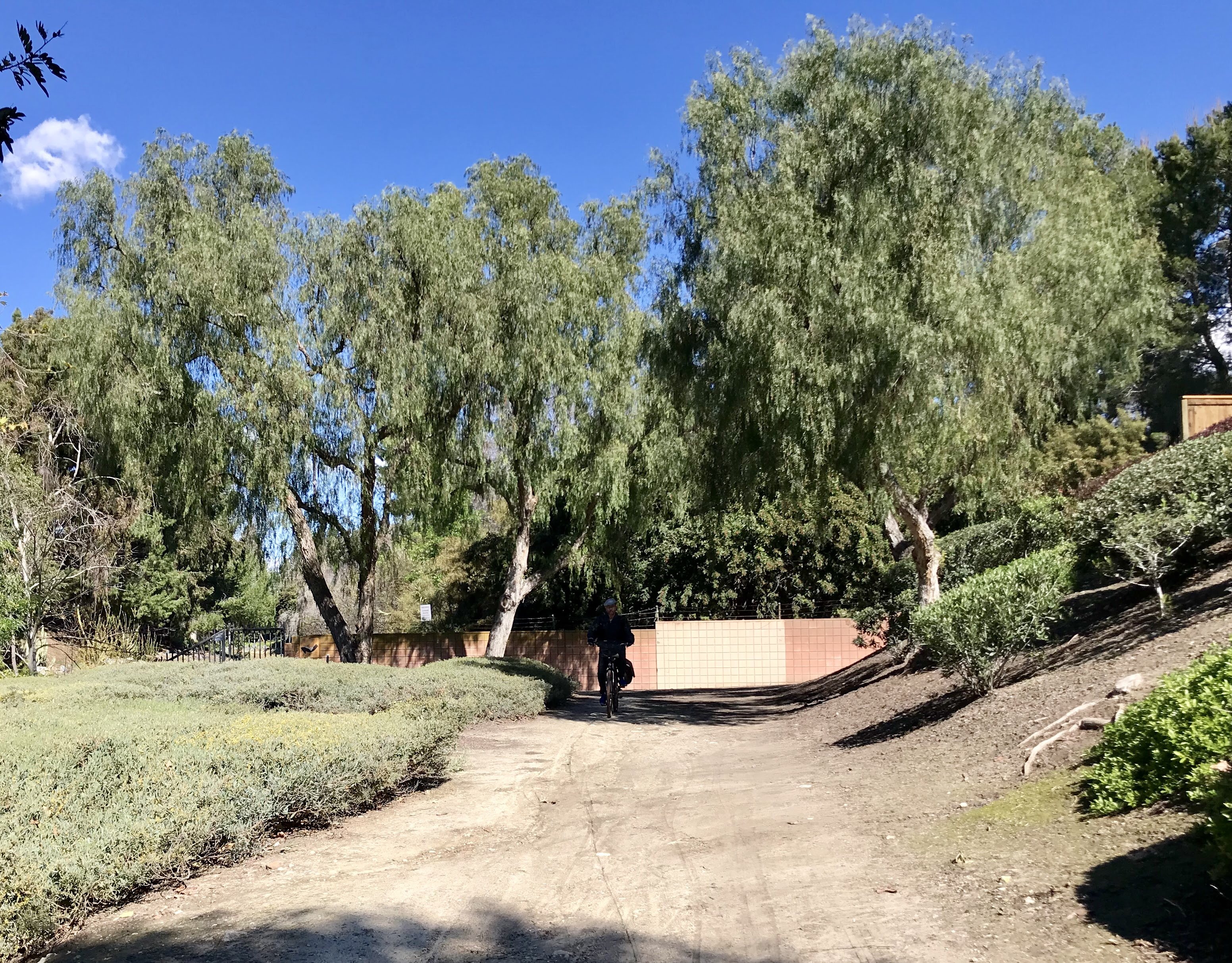
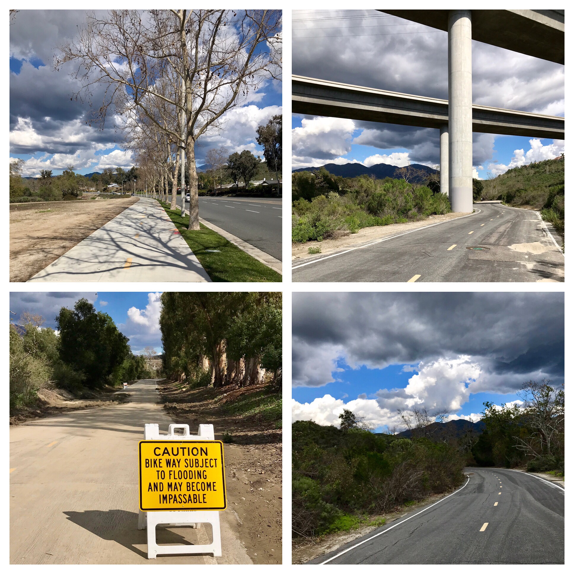
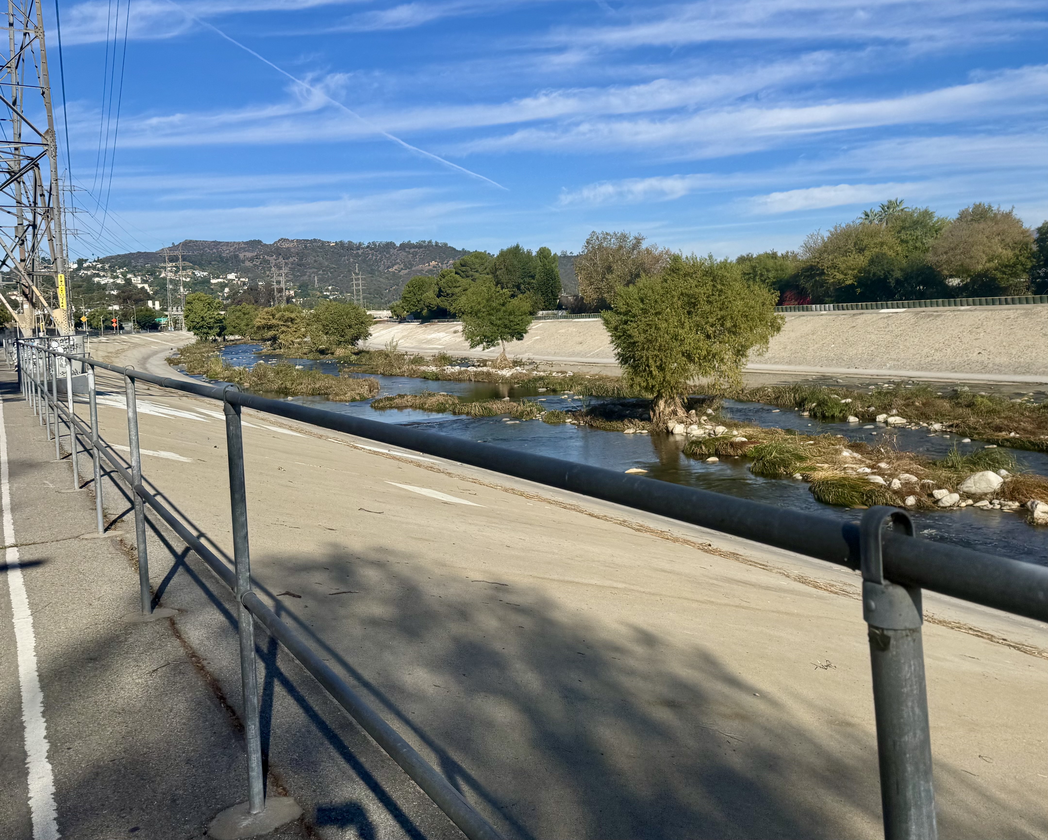
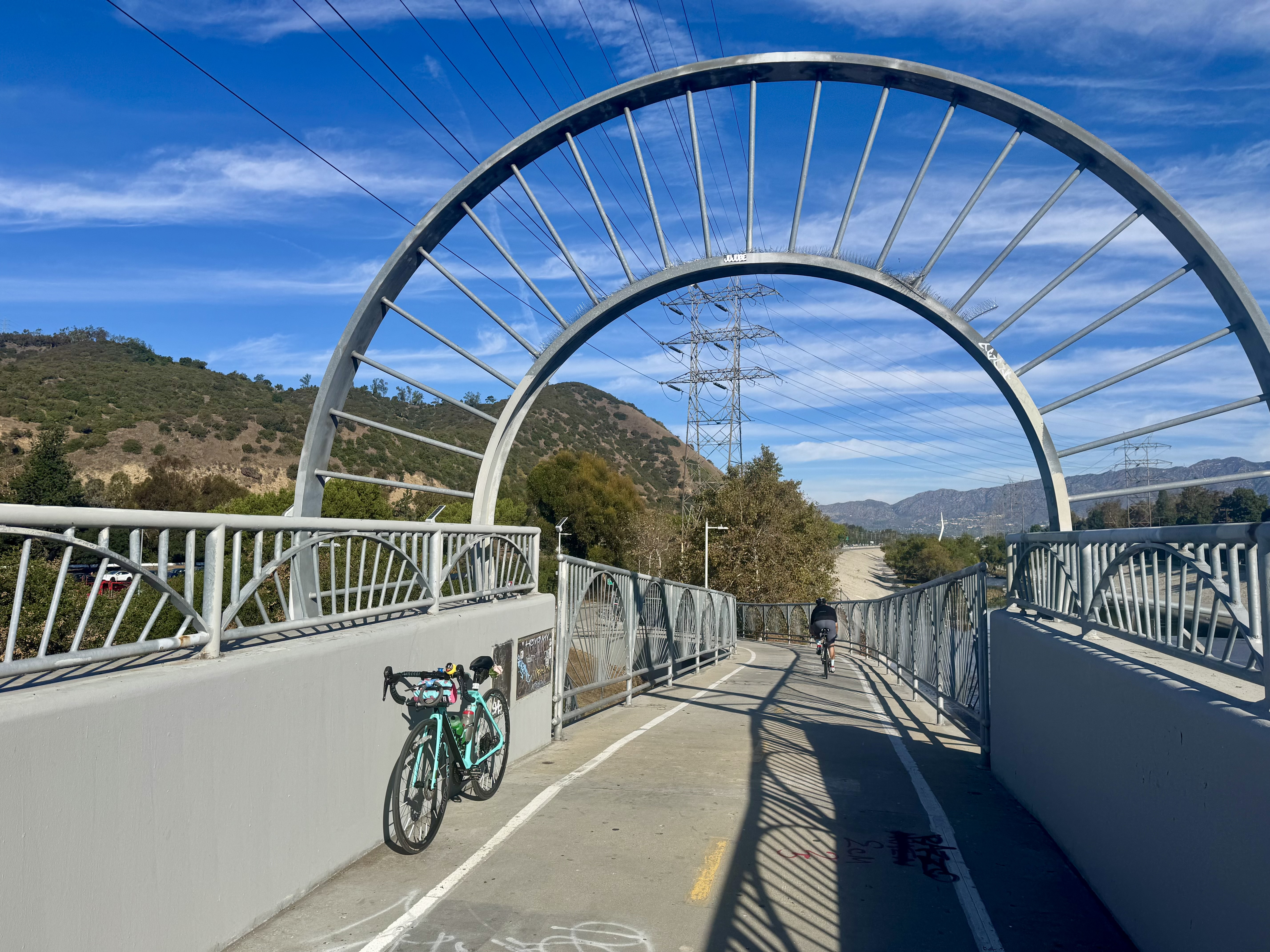
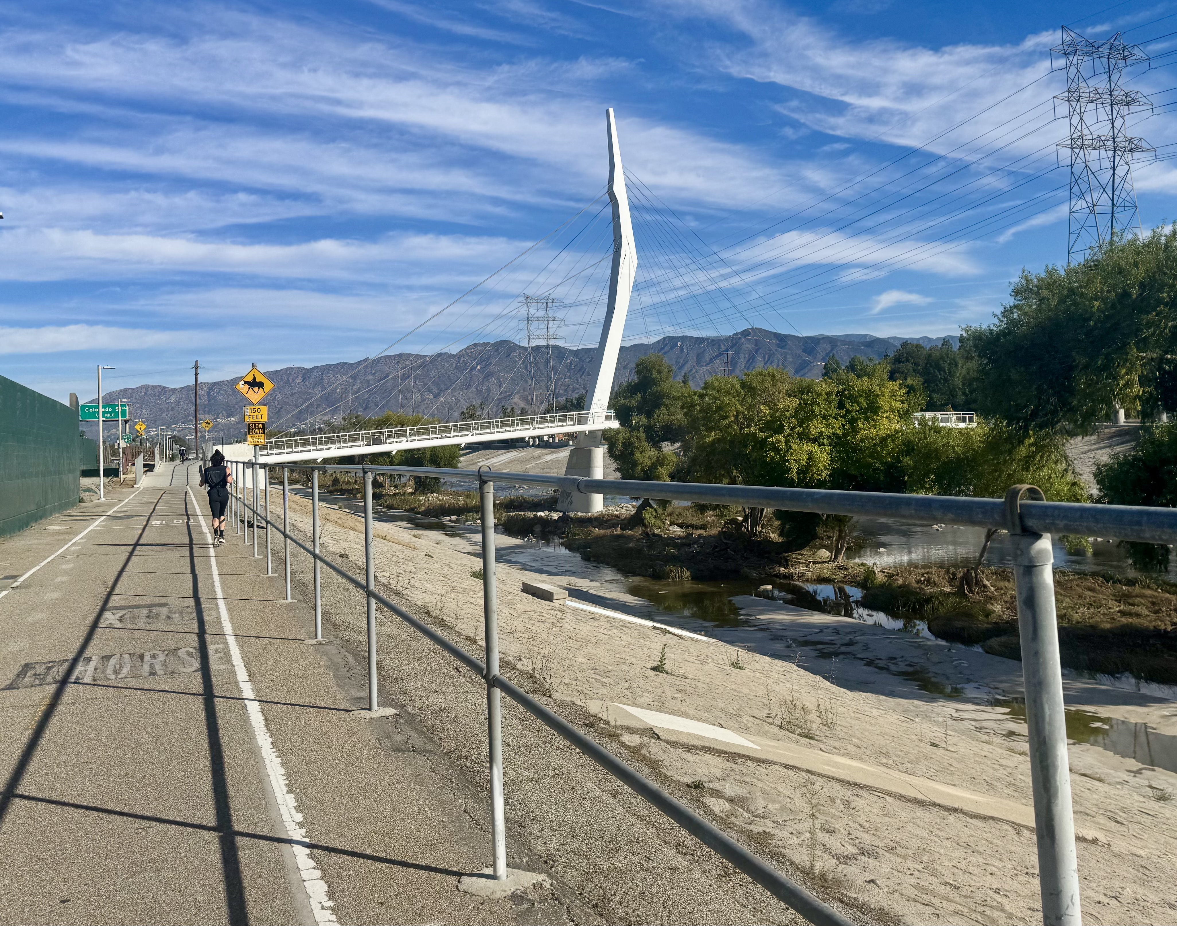
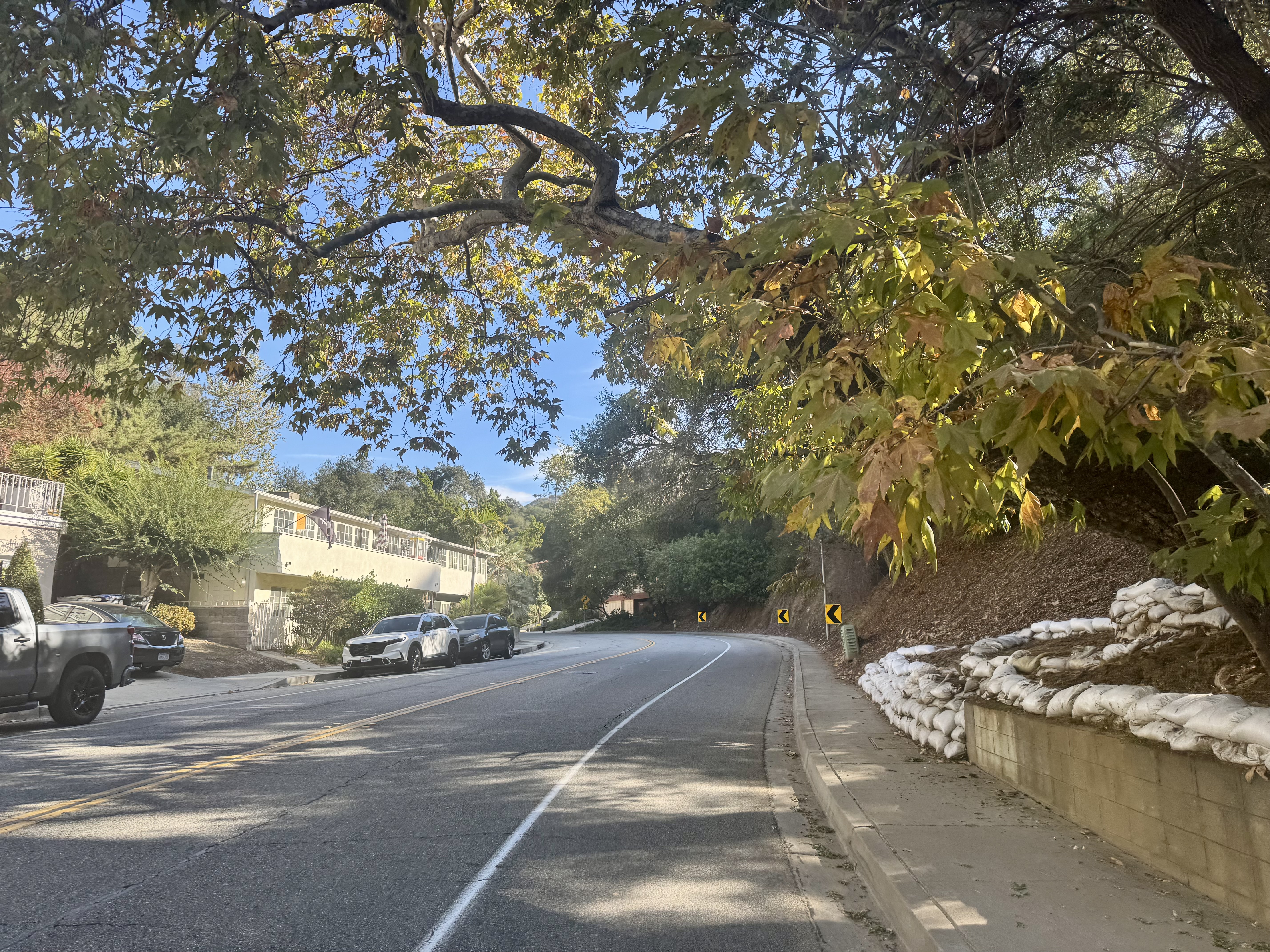
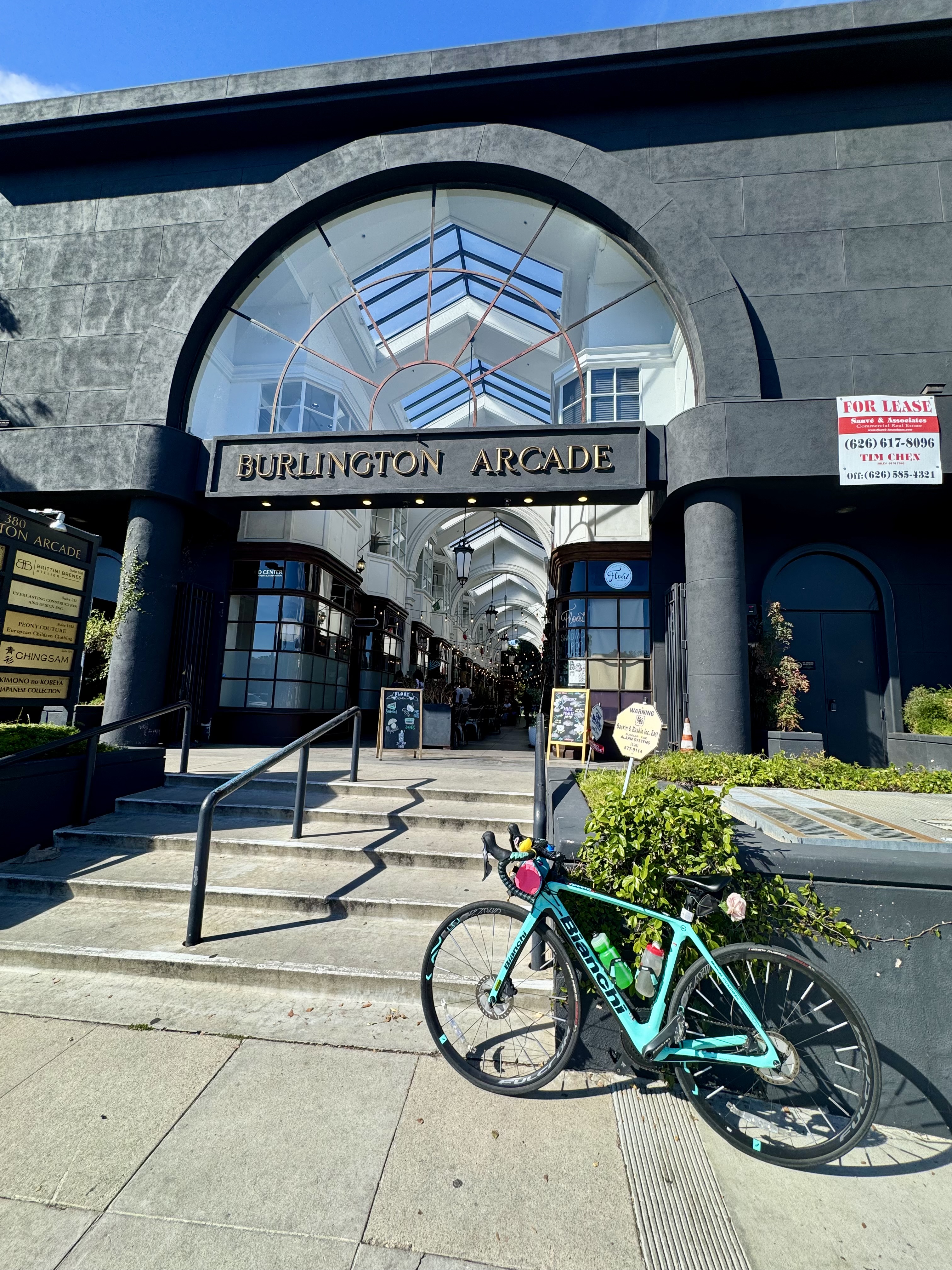
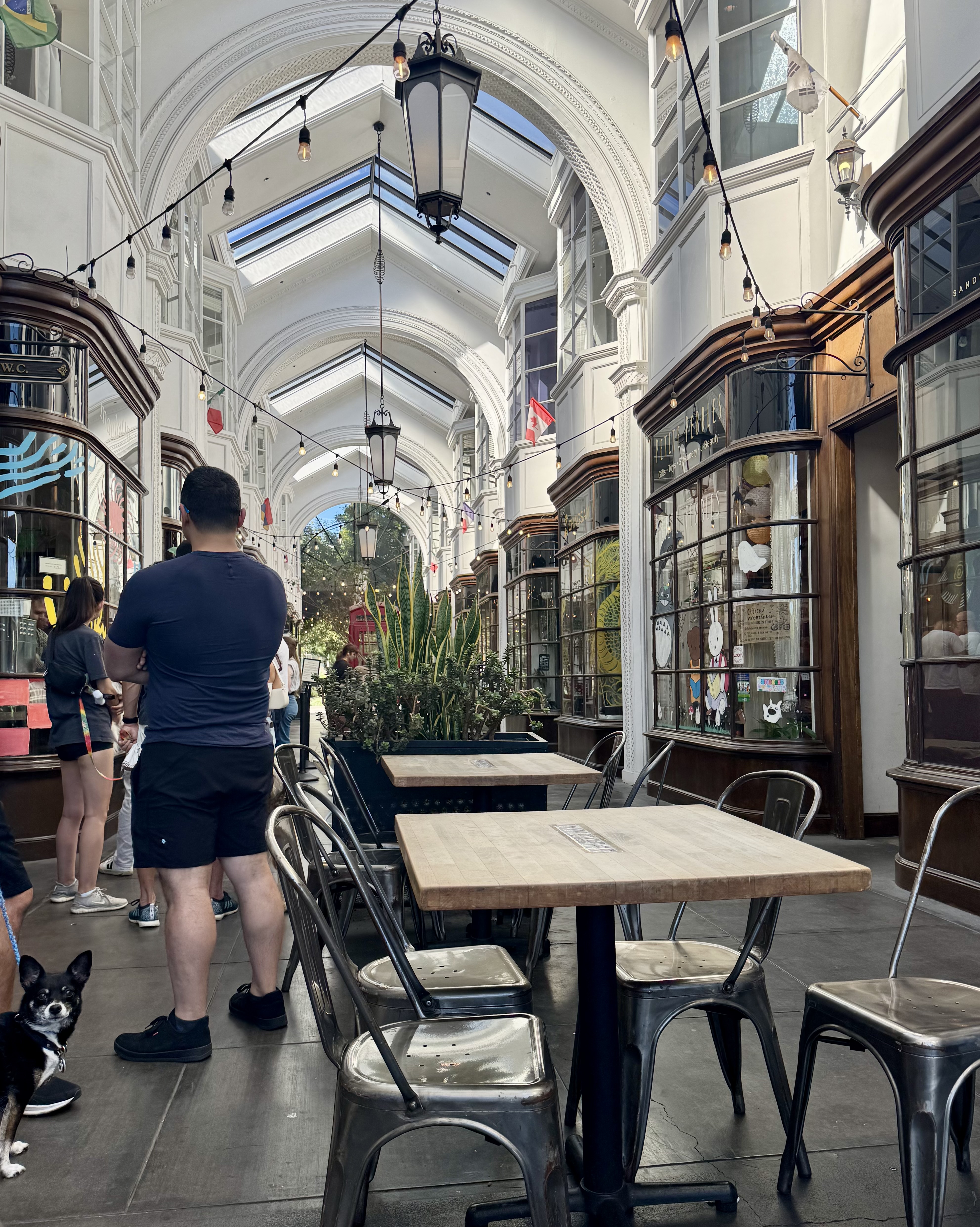
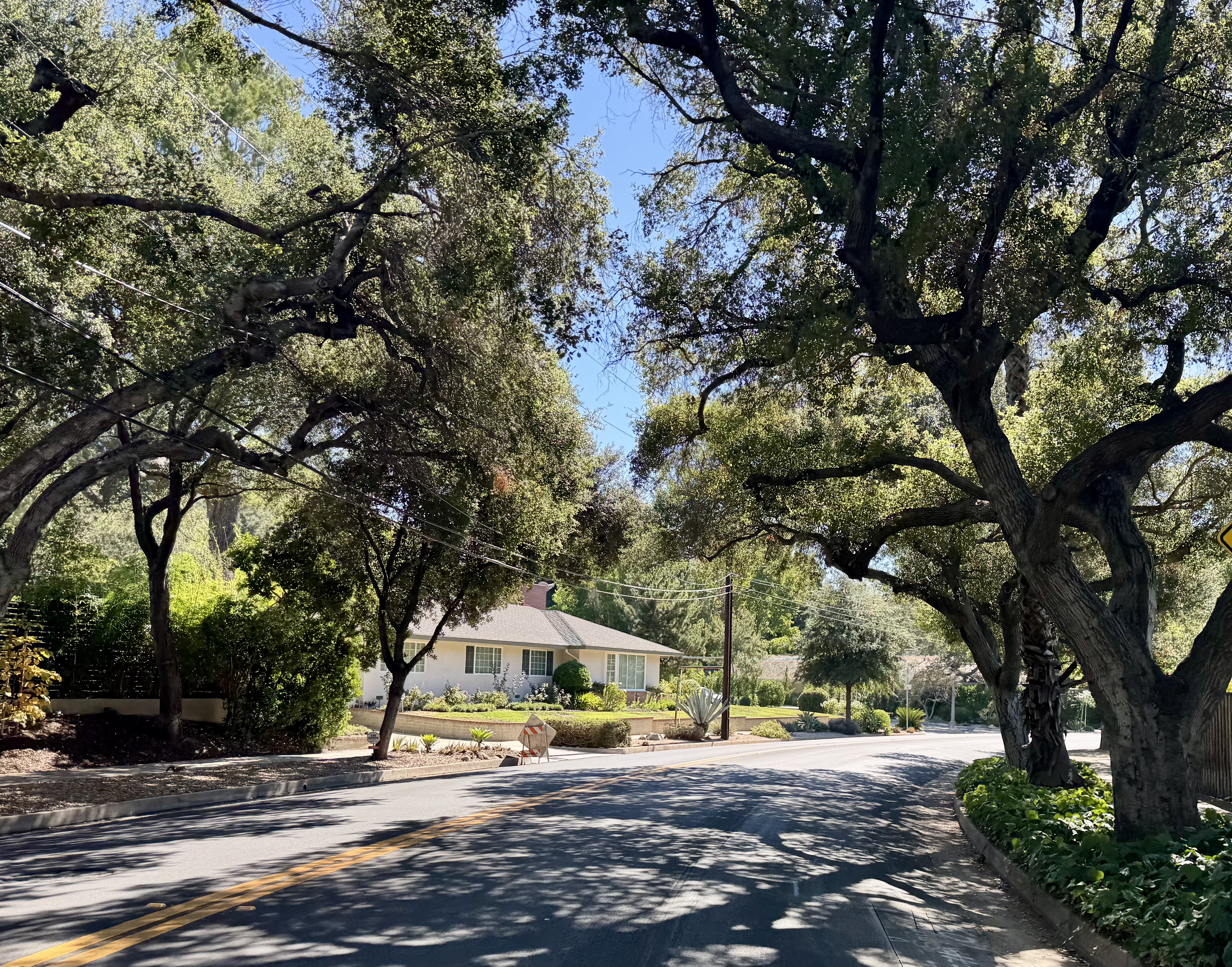
Another find from that Instagram post I’d seen listing beautiful coffee shops was Float, located in the Burlington Arcade in Pasadena. That one called to me. I love biking to Pasadena, as there are some beautiful streets to bike on out that way, and I had a hankering for a longer ride that day. And to stop in an old-timey looking coffee shop in an old-timey looking arcade? How is it I’d never heard of this place before? So off I went, and not in the most direct route, no. I embraced the opportunity to plan my route by first hopping on the L.A. River bike path so I could cross the “witch’s finger” bridge, more properly known as the North Atwater Bridge or the La Kretz Crossing, and then taking what I think of as the reverse Chevy Chase route. You see, Chevy Chase Drive winds through the hills between the Rose Bowl and Glendale. I had ridden that route multiple times going west from Pasadena to Glendale and found it quite enjoyable. But one day, we rode it from Glendale to Pasadena and discovered some beauty we had rolled through to quickly when going downhill on the Glendale side. I wanted to ride it going east again and savor that scenery.
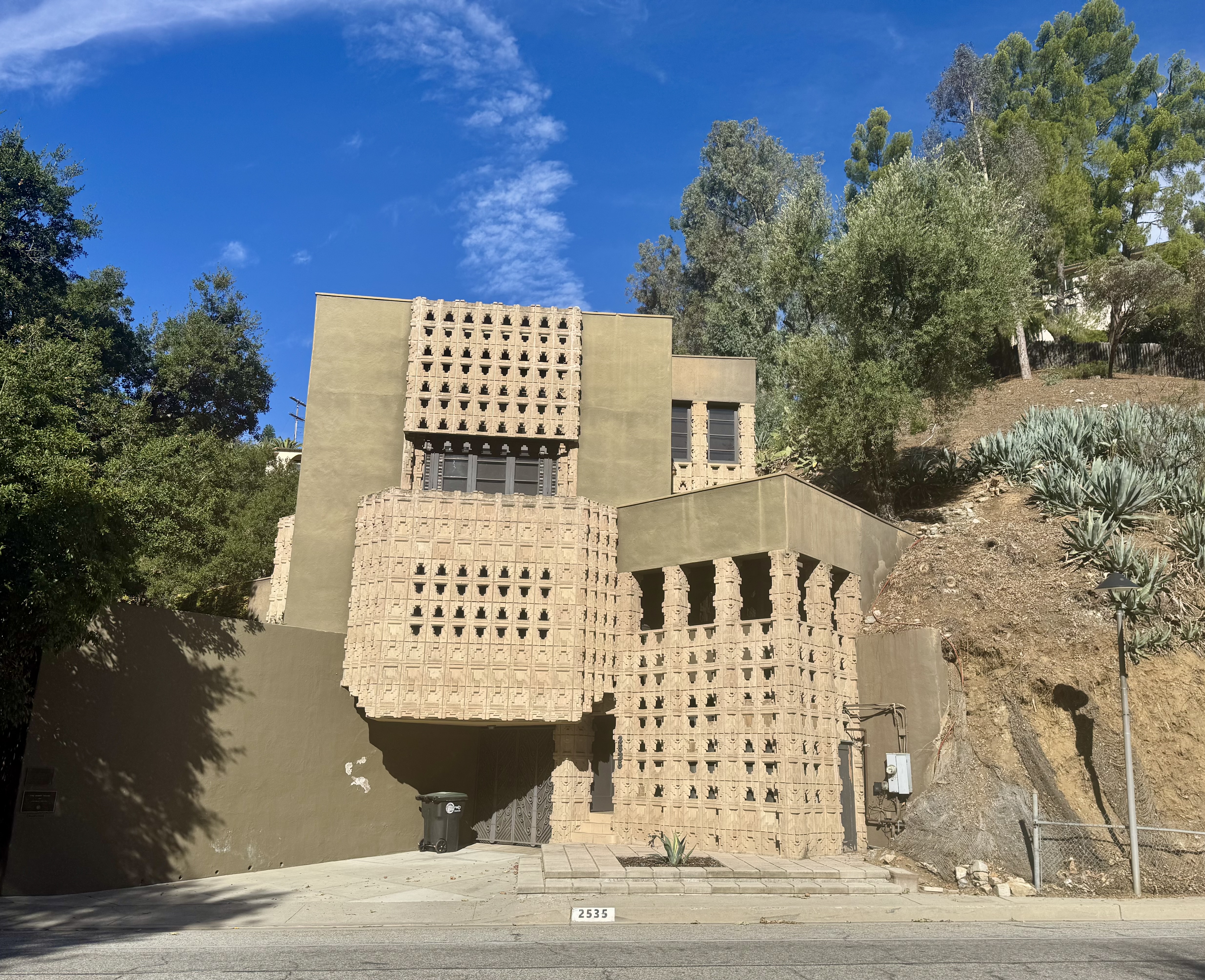
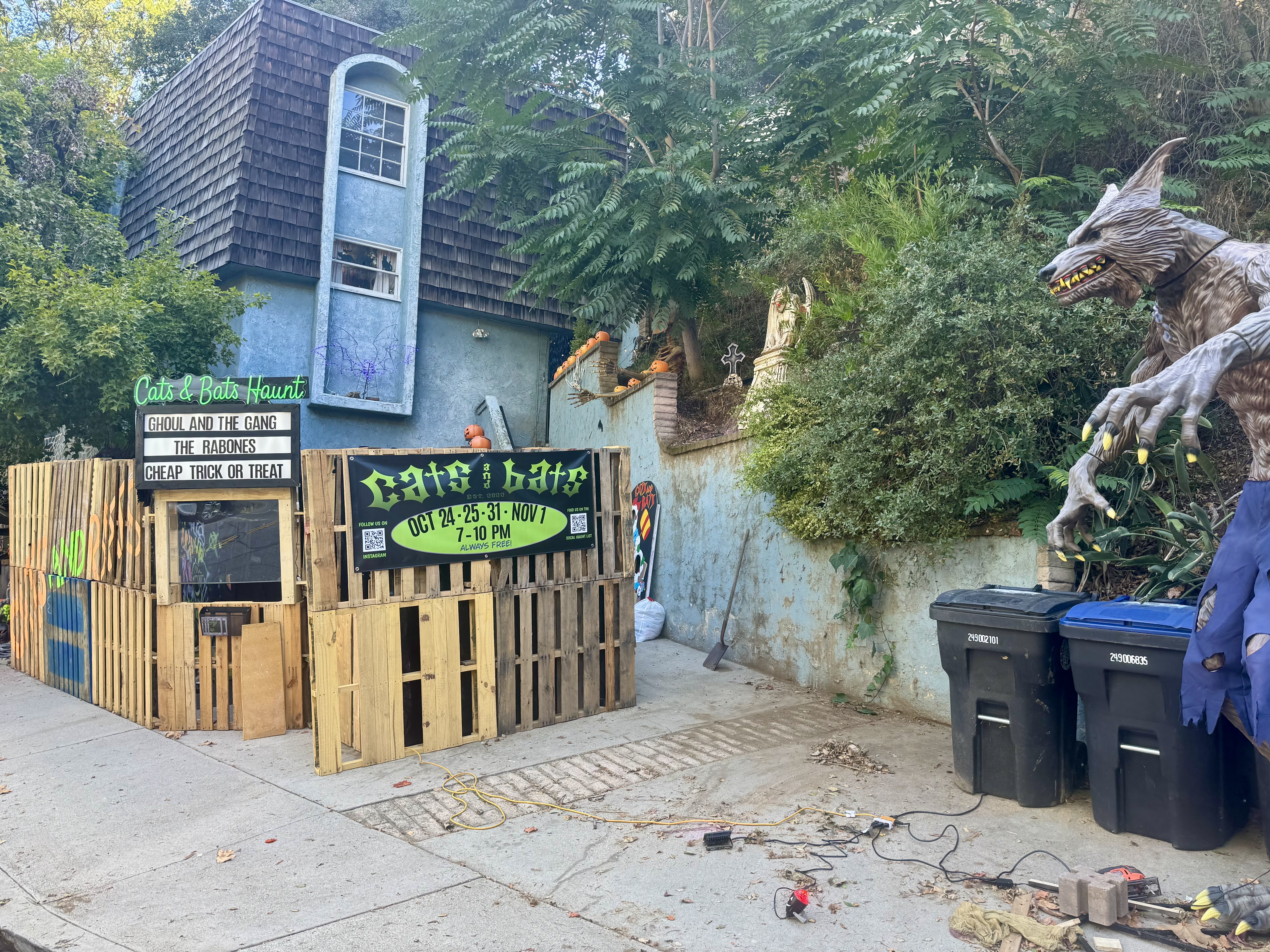
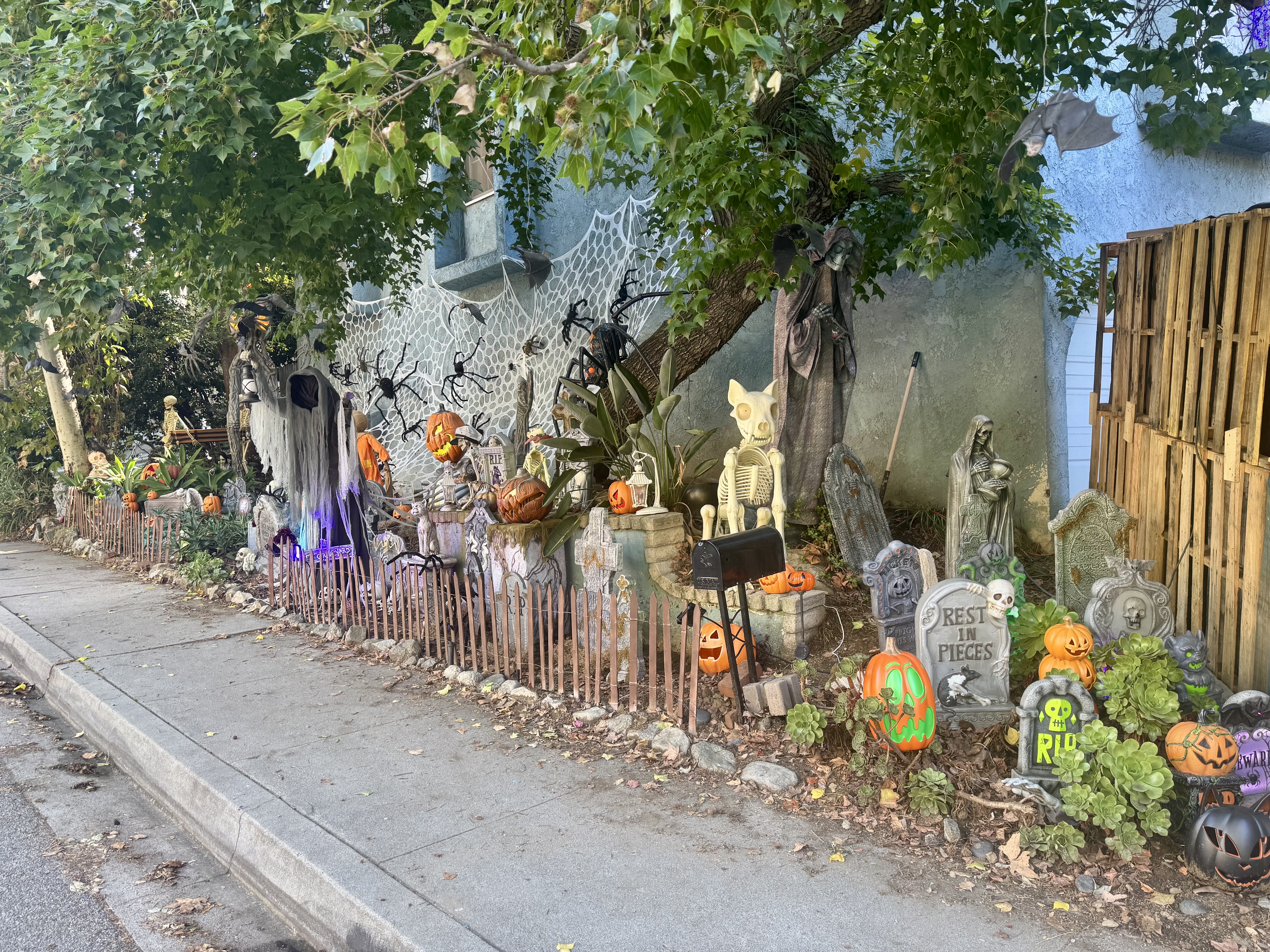
My favorite delight that surprised me the first time I rode Chevy Chase in the reverse direction was the Derby House, designed by Frank Lloyd Wright, Jr., built in 1926. After admiring the Derby House once again, I noticed another delight across the way. An elaborately decorated yard was ready for Halloween, even offering a “Cats and Bats Haunt” spook show beginning October 24th, with a marquee advertising “Ghoul and the Gang”, “The Rabones”, and “Cheap Trick or Treat”. From there, I wound my way up the pretty road to pass by the Wild Oak Cafe (an excellent coffeeneuring stop, but not on my agenda today).
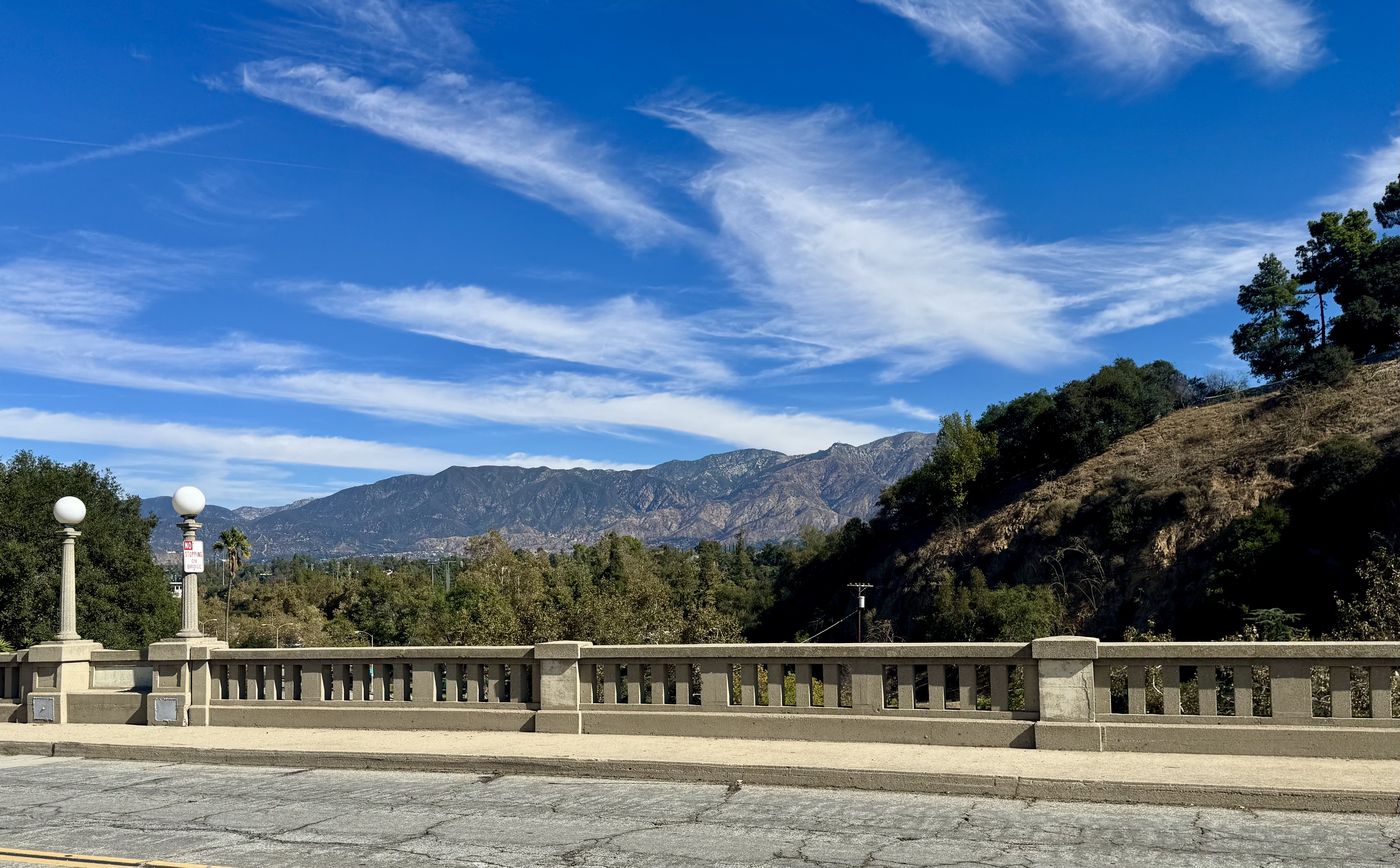
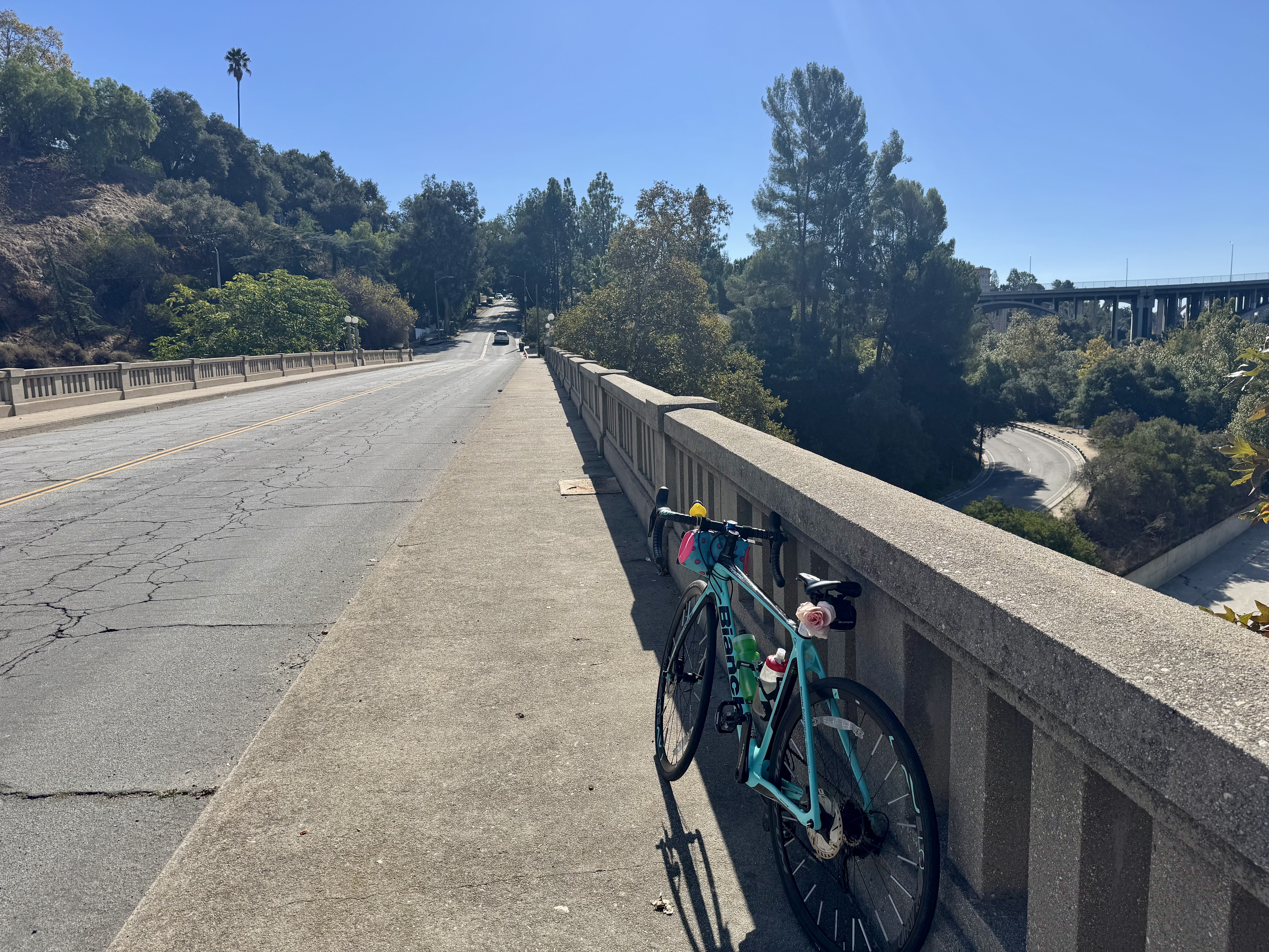
After a little more climbing, I enjoyed the descent down Linda Vista followed by rolling past the Rose Bowl, and then heading over one of the stately historic bridges over the Arroyo Seco. If you’ve never biked through Pasadena, add that to your bike-it list. Beautiful bridges, gorgeous homes, wide, tree-lined streets make for a real treat.

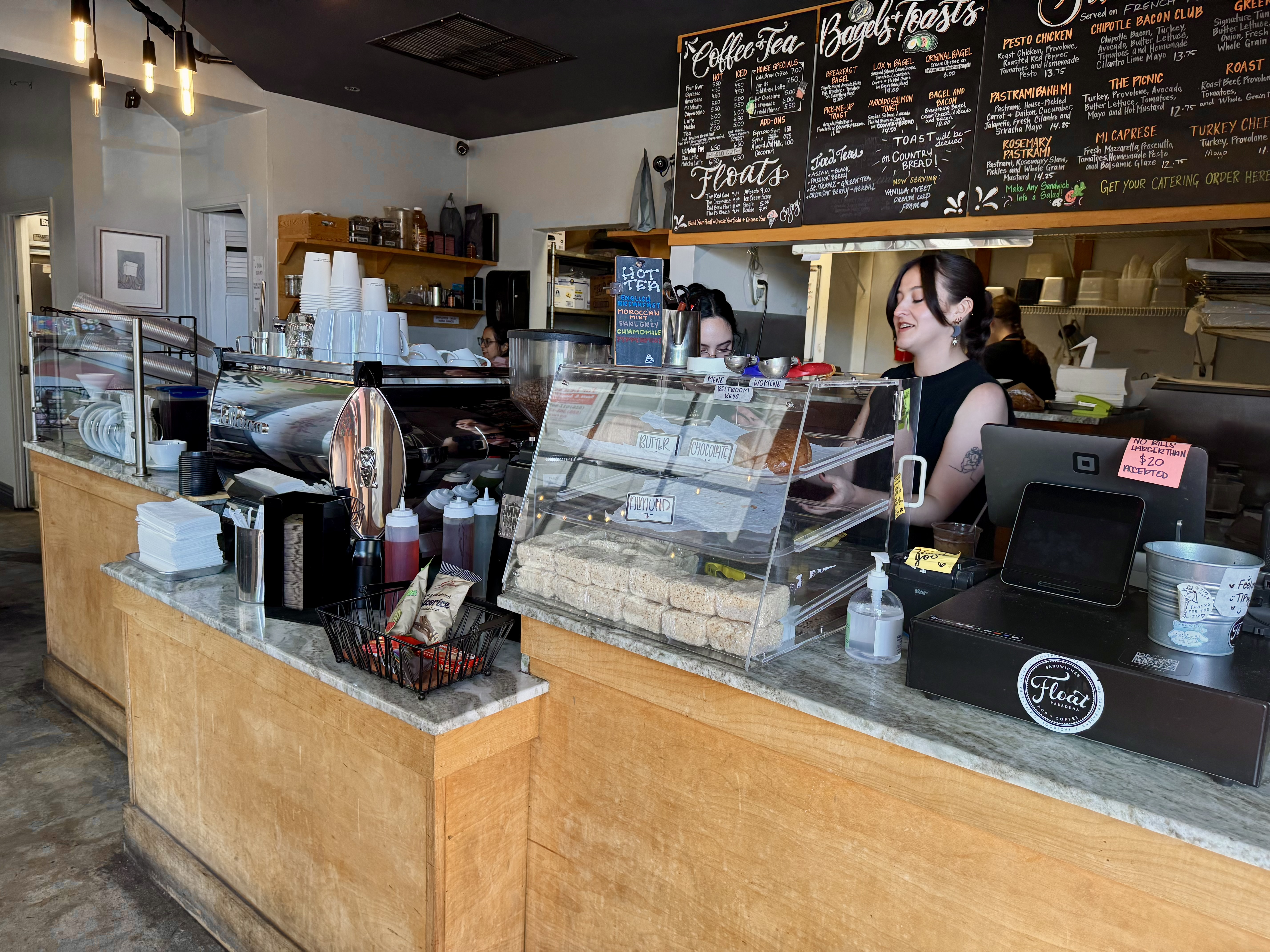
I made my way to the Burlington Arcade, and rolled my bike right on in. There was a long line of folks, but I was relieved to see that they were waiting to enter a different establishment in the arcade. I leaned my bike against the wall in front of Float and just locked the bike wheel to the frame, which seemed sufficient given I was never far from the bike or unable to keep it in view. Float seemed like more of an ice cream place, or as the name suggests, an ice cream float place. But I was on a coffee mission, so I ordered an iced lavendar latte and an almond croissant. The latter was quite good; the former was okay.
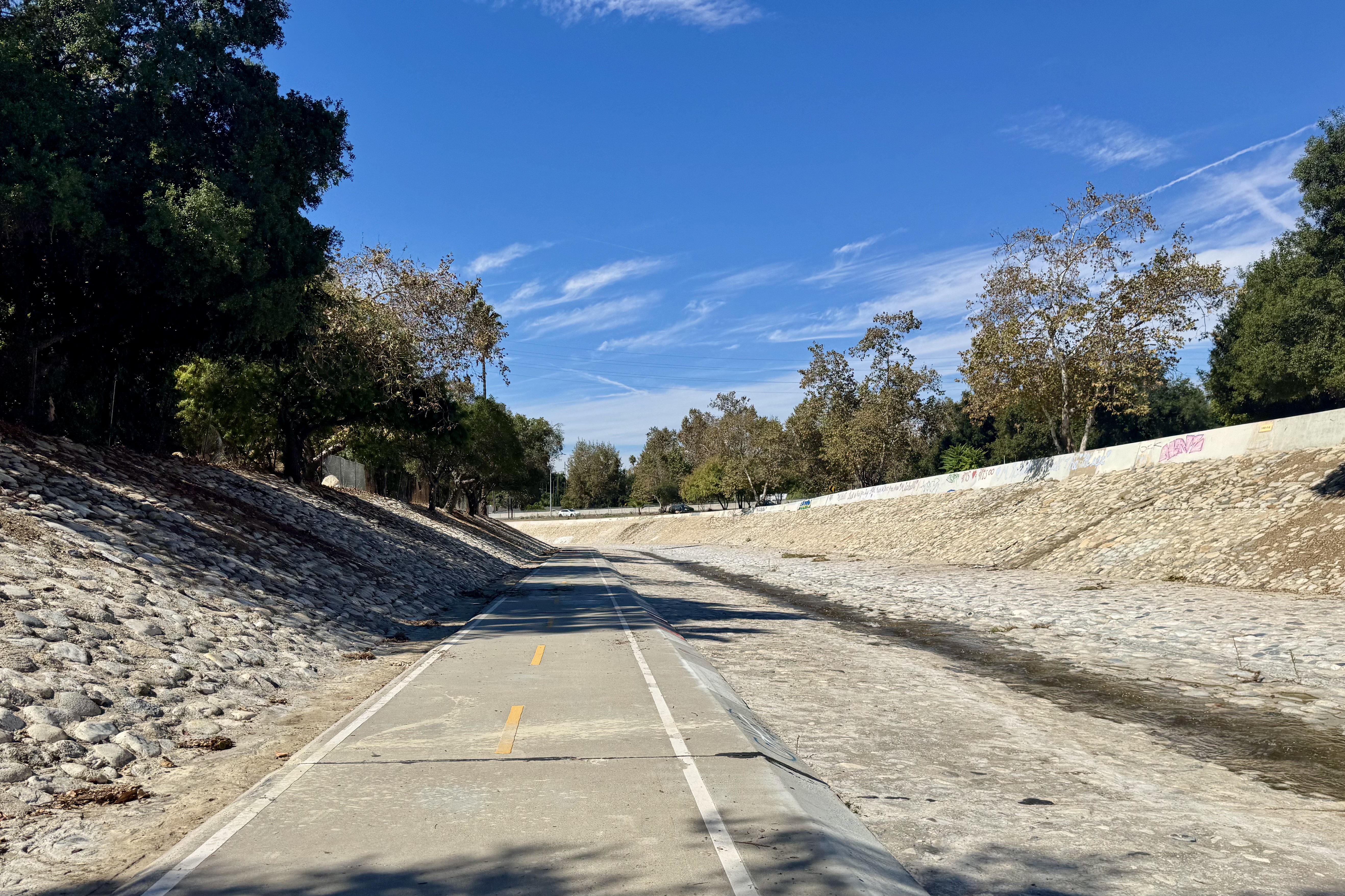
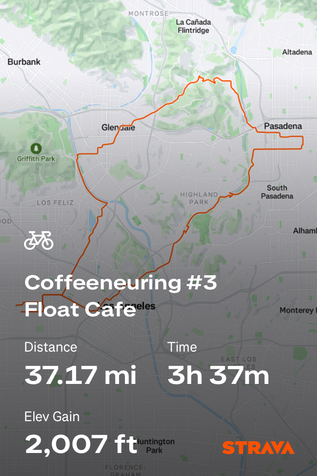
For the return trip, I took the devastatingly scenic Arroyo Parkway to the Arroyo Seco bike path. From there, I took Pasadena Avenue to Broadway, which passes by Elysian Park and into downtown Los Angeles, via Chinatown. This made for a nice loop. Most of all, it was a gorgeous ride on a lovely day to a beautiful place to enjoy a coffee drink. I would do it all again.
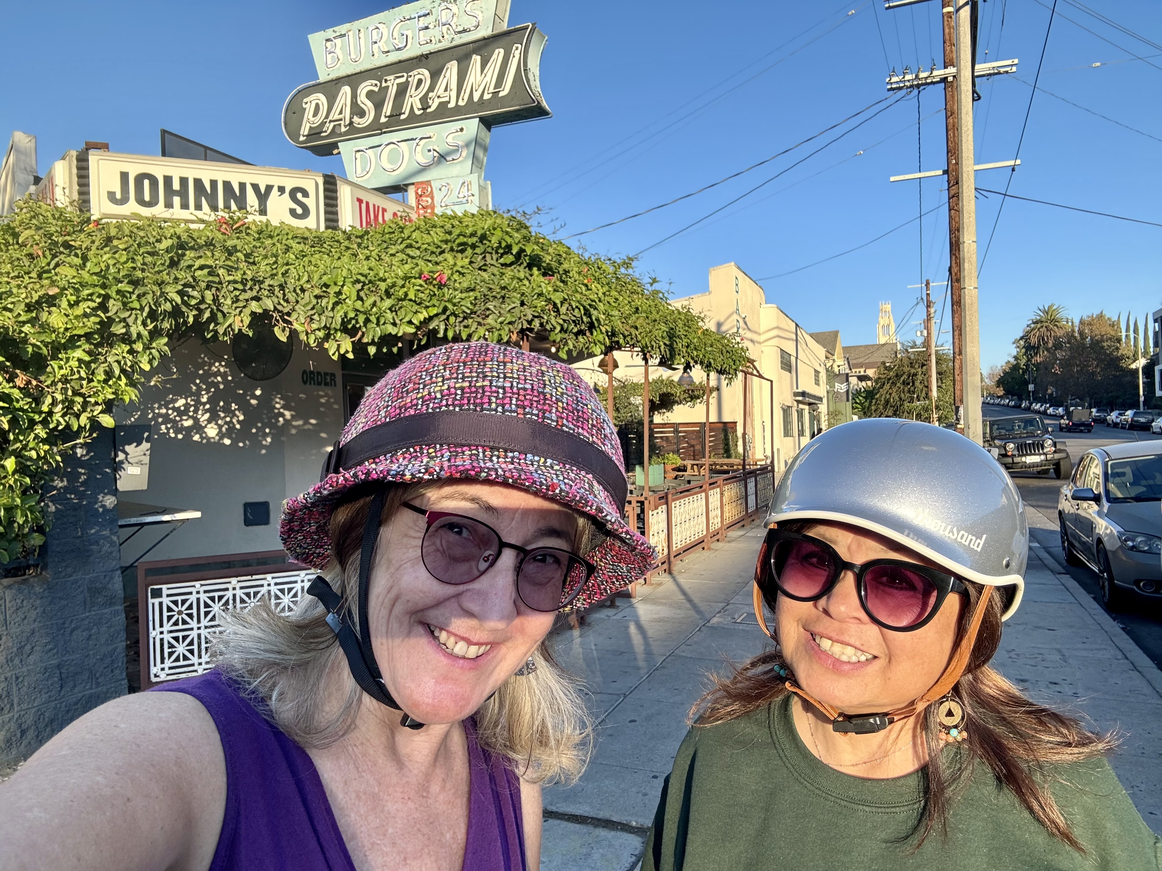
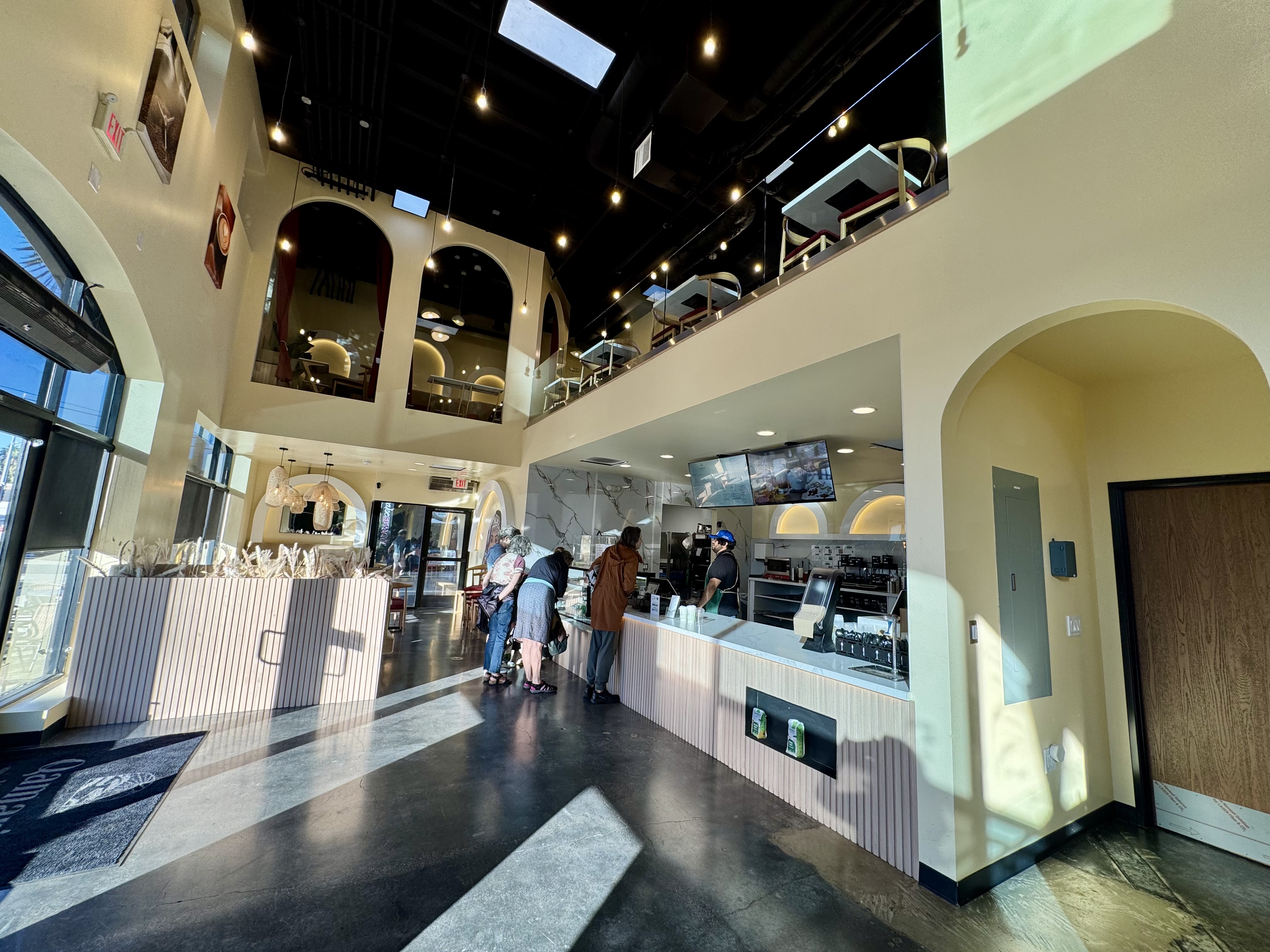
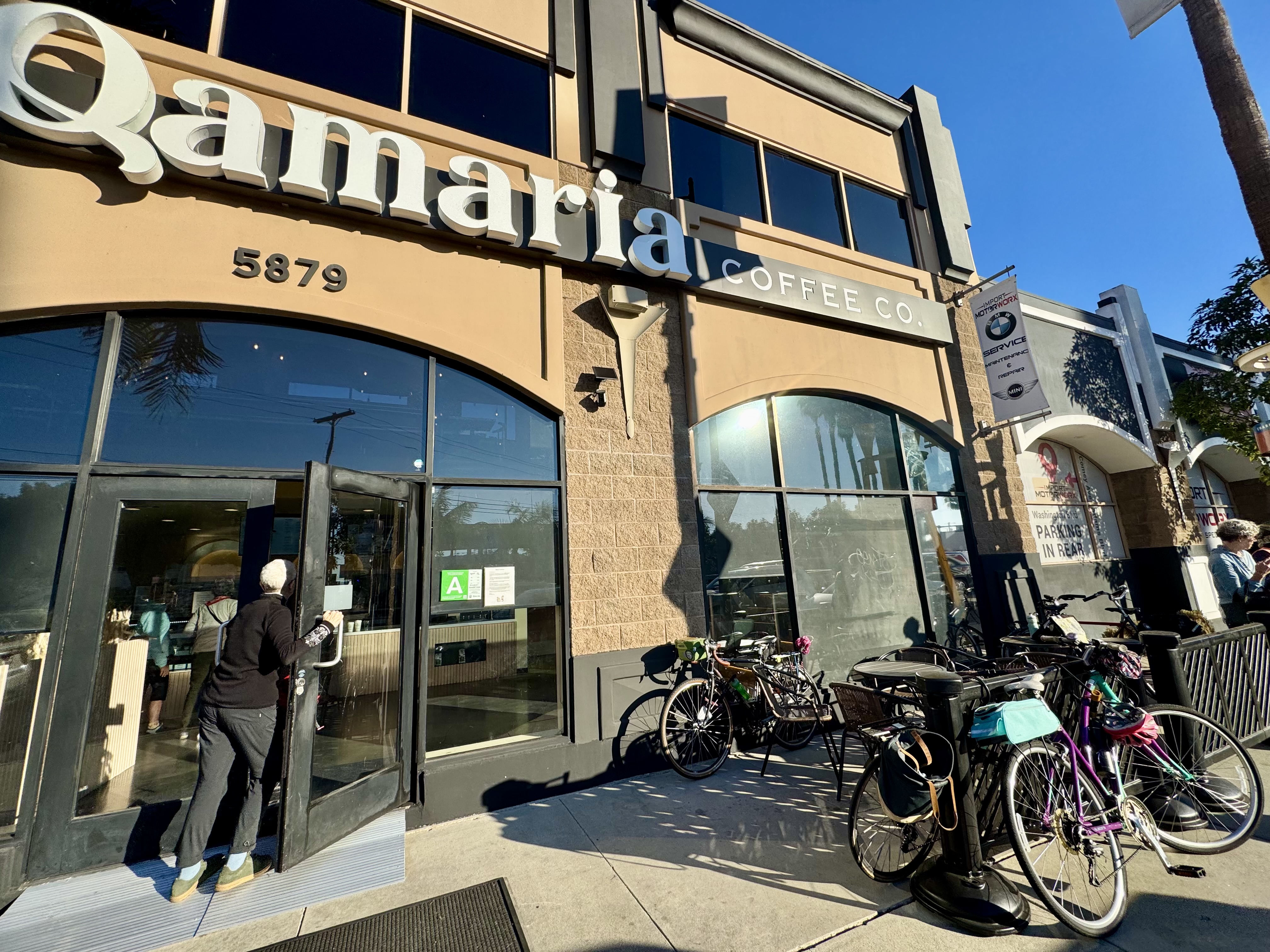
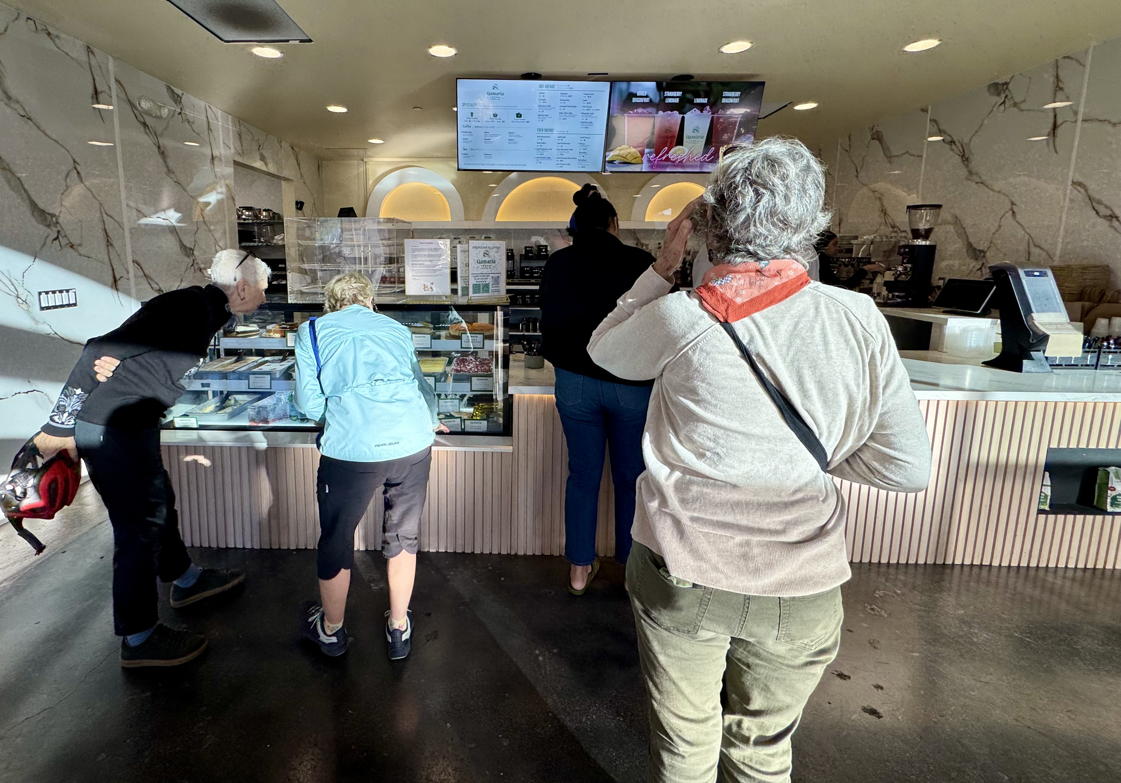
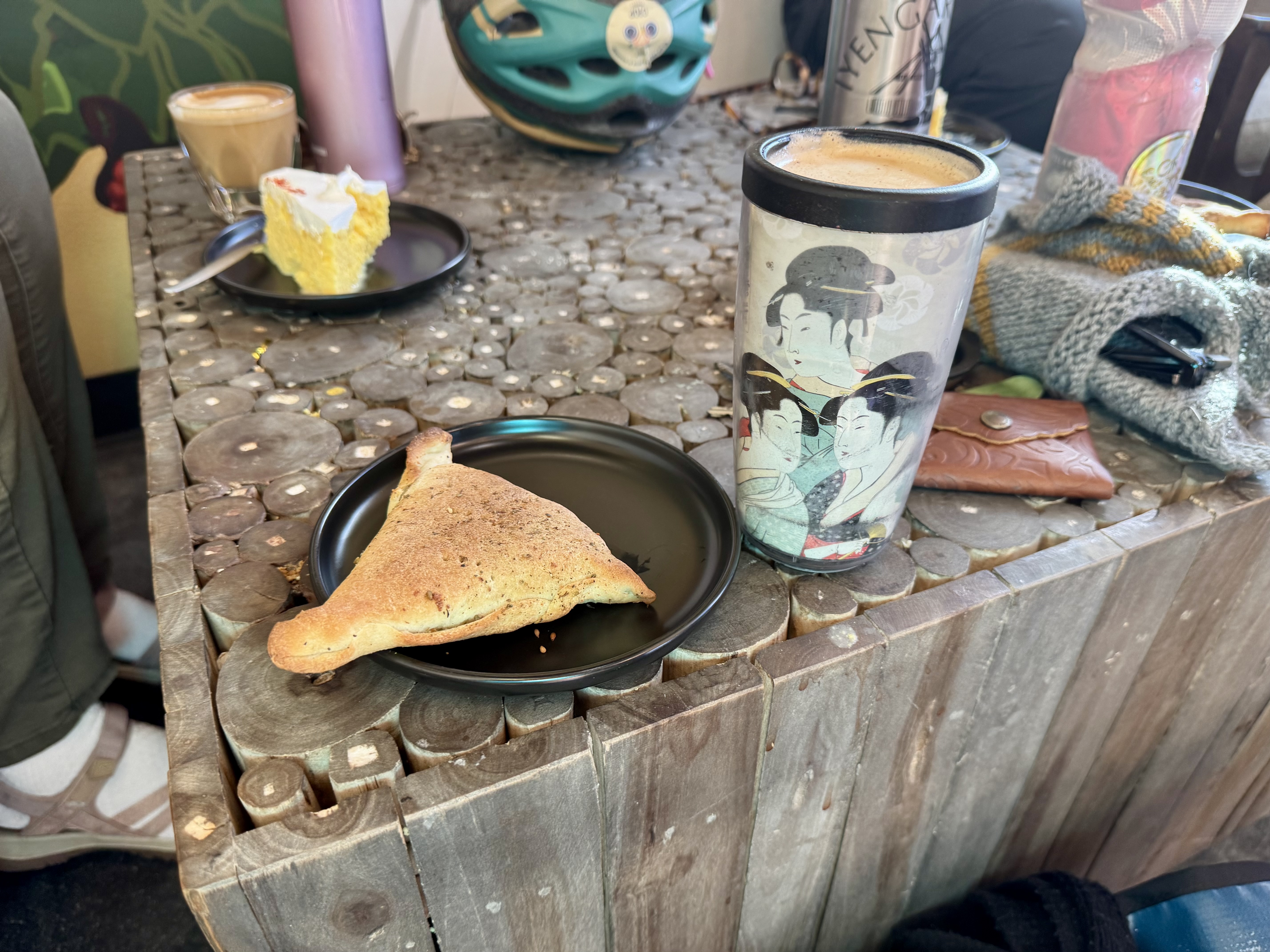
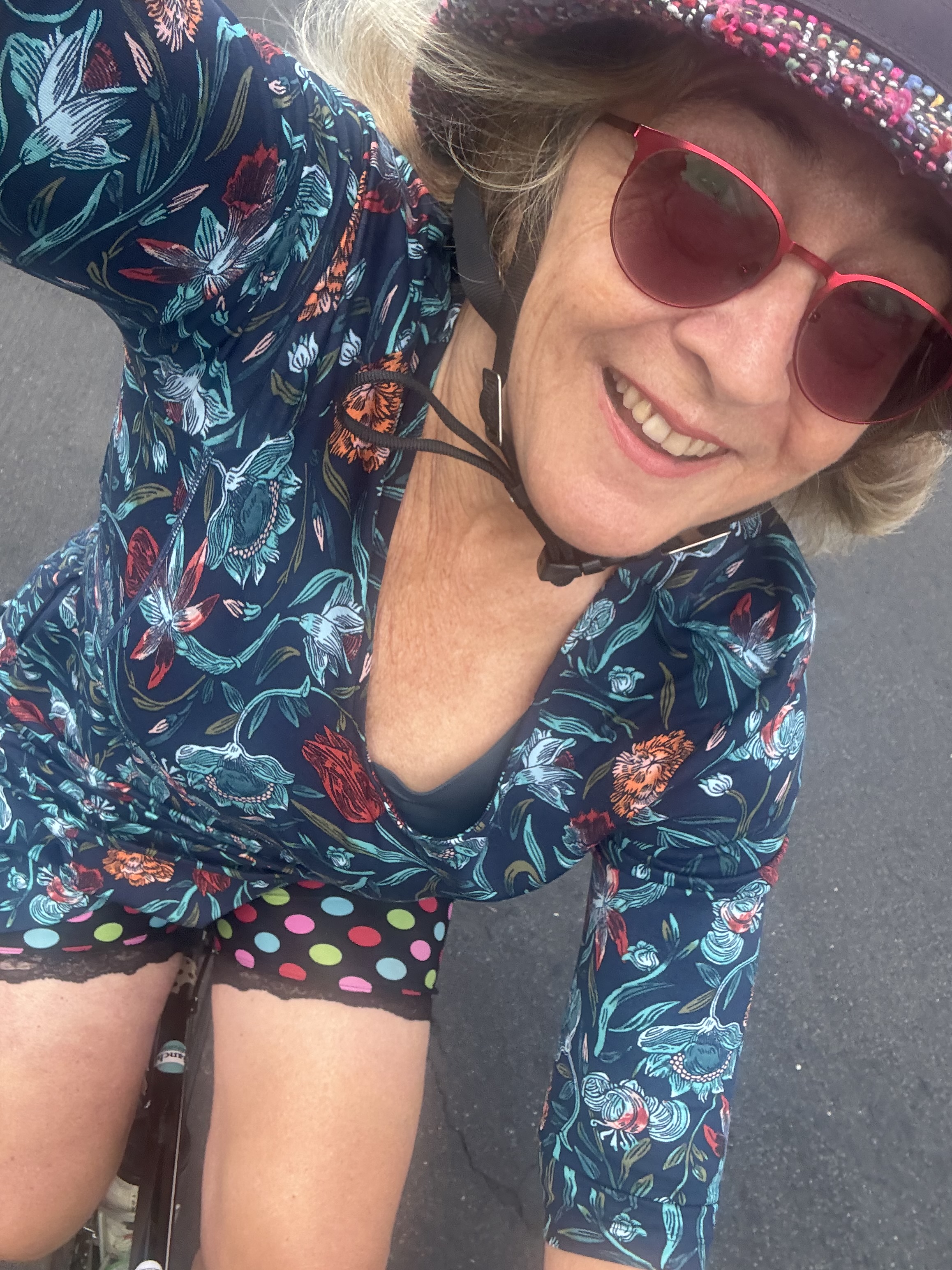
Control No. 4: 10/20/25 Qamaria Yemeni Coffee in Culver City
Beverage: Qamaria Latte (+ Zaatar Fatayer)
Bike: Volpe
Bloomers: Groovy Tie Dye
C+1: Women on Bikes Culver City
Beauty: High Ceiling, upper seating area
Miles: 14
This was a social ride organized by Women on Bikes Culver City, one of their twice-monthly group rides to a coffee shop. I was so happy to discover this new-to-me coffee shop that is worthy of inclusion in a list of beautiful places to drink coffee. The space is unusual: a large, open space with a very high ceiling and contemporary decor. We sat in an attractive seating area in the main “lobby” near the coffee & pastry bar, but the place has additional seating in an upstairs area, as well as on the opposite side of the coffee & pastry bar. Qamaria Yemeni Coffee Co. offers some tasty treats. I loved my Qamaria Latte, spiced with cardamom and cinnamon, and zaatar fatayer (a savory hand pie).
Control No. 5: 10/26/25 Coffee Corner in the Fairfax Farmer’s Market (Los Angeles)
Beverage: Cafe de Olla (+ Almond Croissant)
Bike: Infinito
Bloomers: Sweet Love
C+1: El Cochinito
Beauty: Fall leaves in Griffith Park
Miles: 16
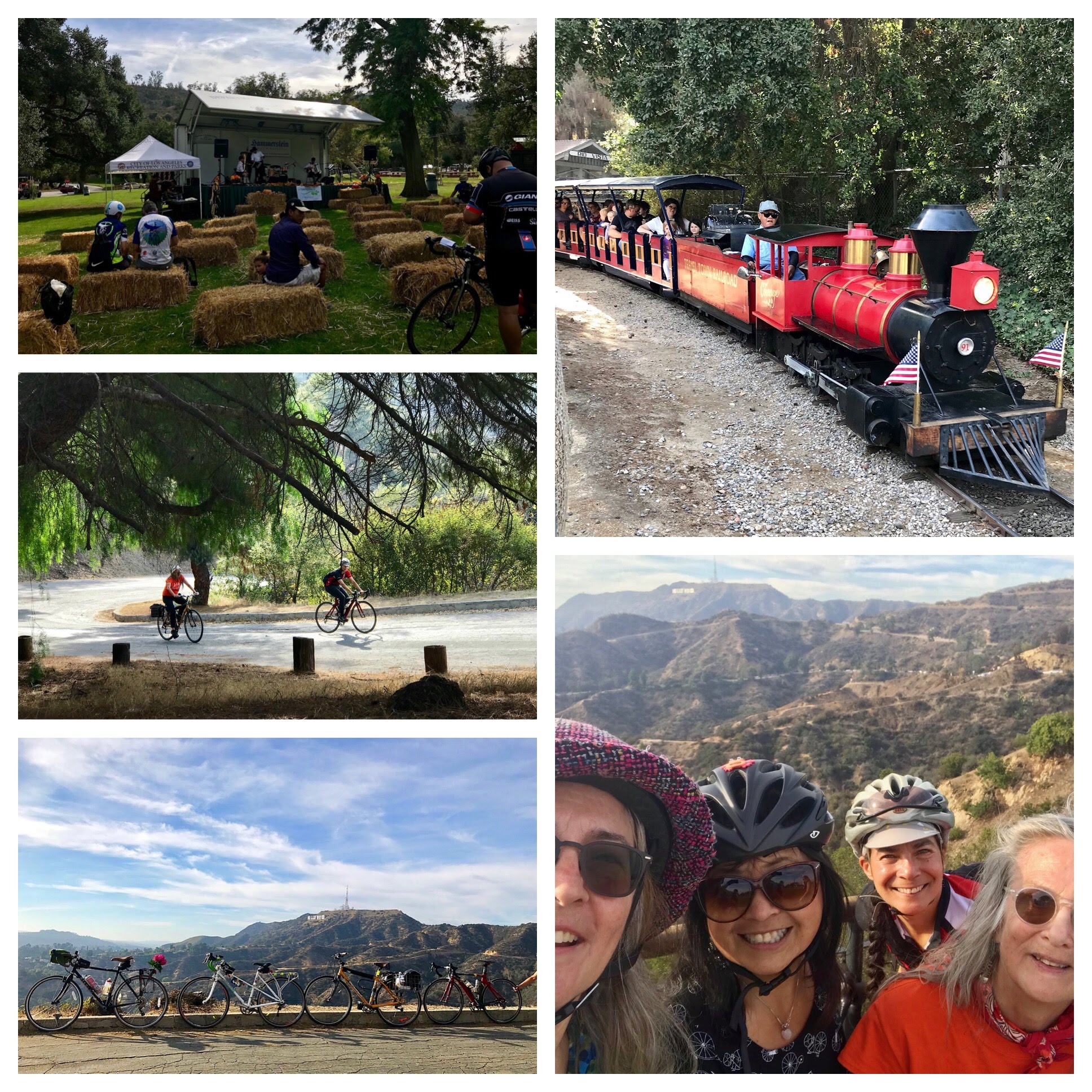
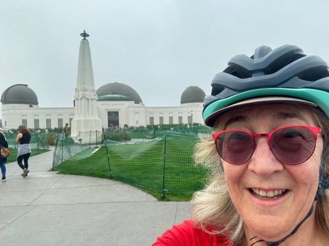
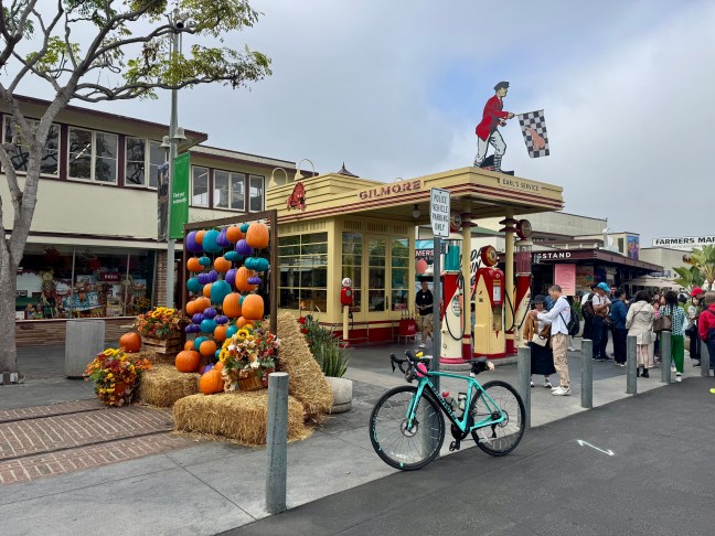
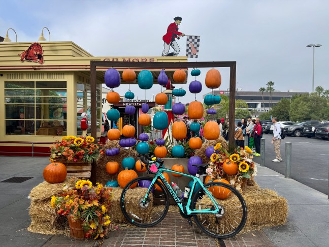
There’s something exciting about making plans to meet up with my husband somewhere. Once again, I was able to coordinate my morning bike ride with one of his meet-ups with his students. I felt a hankering to ride up to Griffith Observatory and get a quick little climb in while he met up with his students at the Original Farmer’s Market at 3rd & Fairfax. It’s a charming historic marketplace, and I love to get a cafe de olla at Coffee Corner, one of the many vendors in the market. So, after my ride up to Griffith Observatory, I headed for the Farmer’s Market via the bike lane on Hollywood Boulevard. Right in front of the entrance to the market, there was an Instagram-worthy stack of hay bales decorated for Halloween.
By the time I arrived, my husband had texted me a photo to help me find where he’d parked the car, and I put my bike in the back of our car. I got my coffee while he finished up with his students. When I went to sit down with him, we enjoyed sharing an almond croissant he had picked up for us.

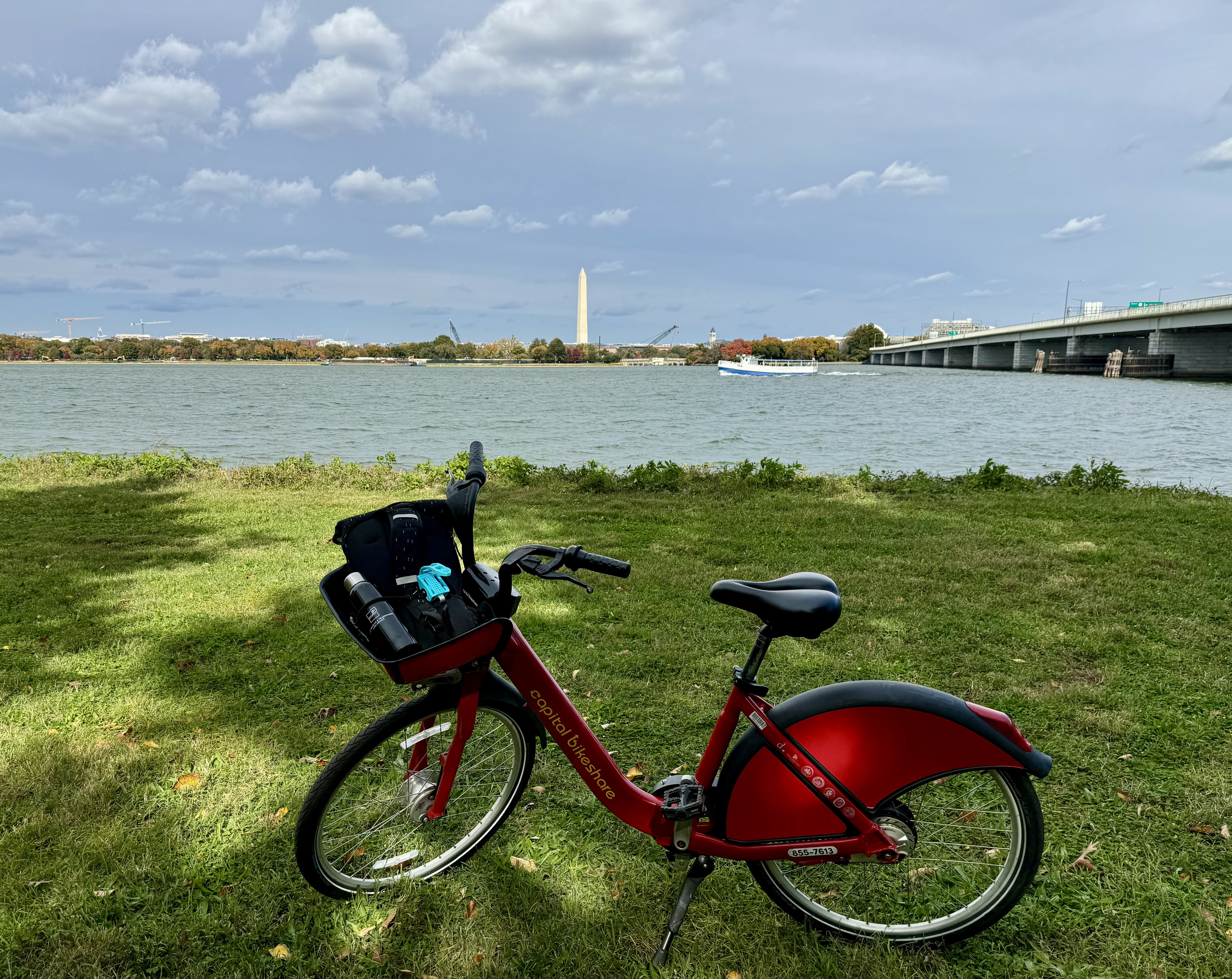
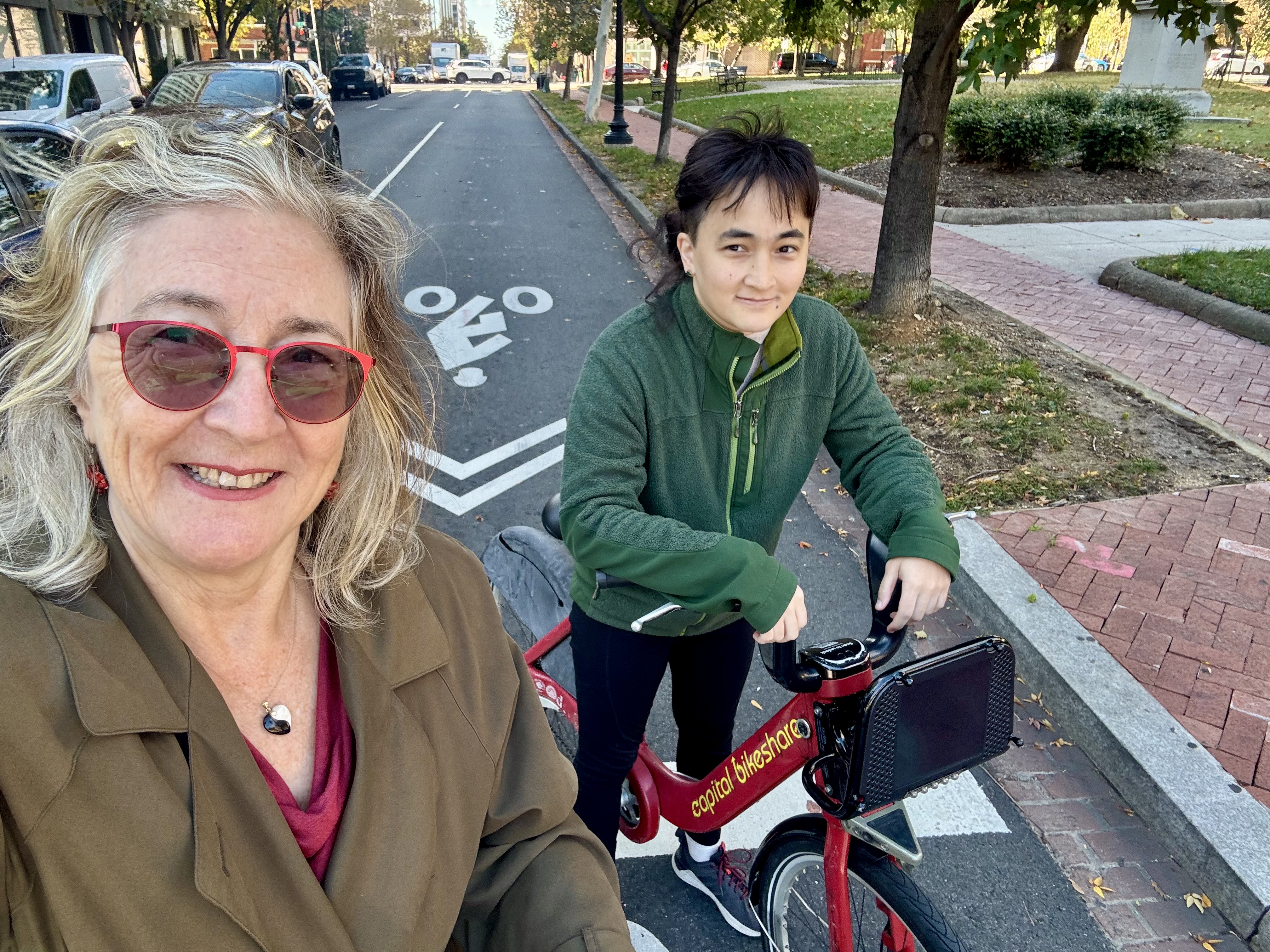
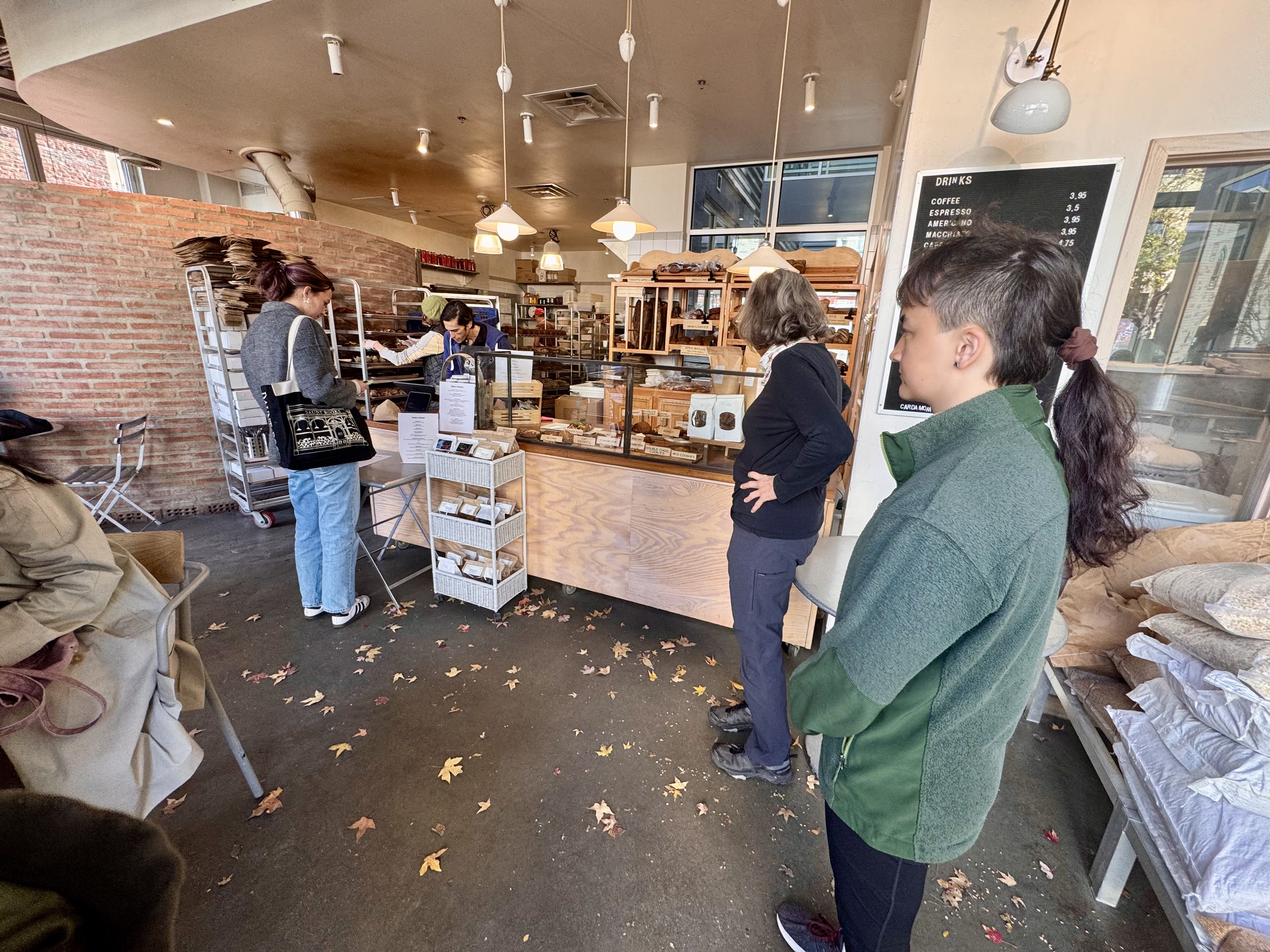
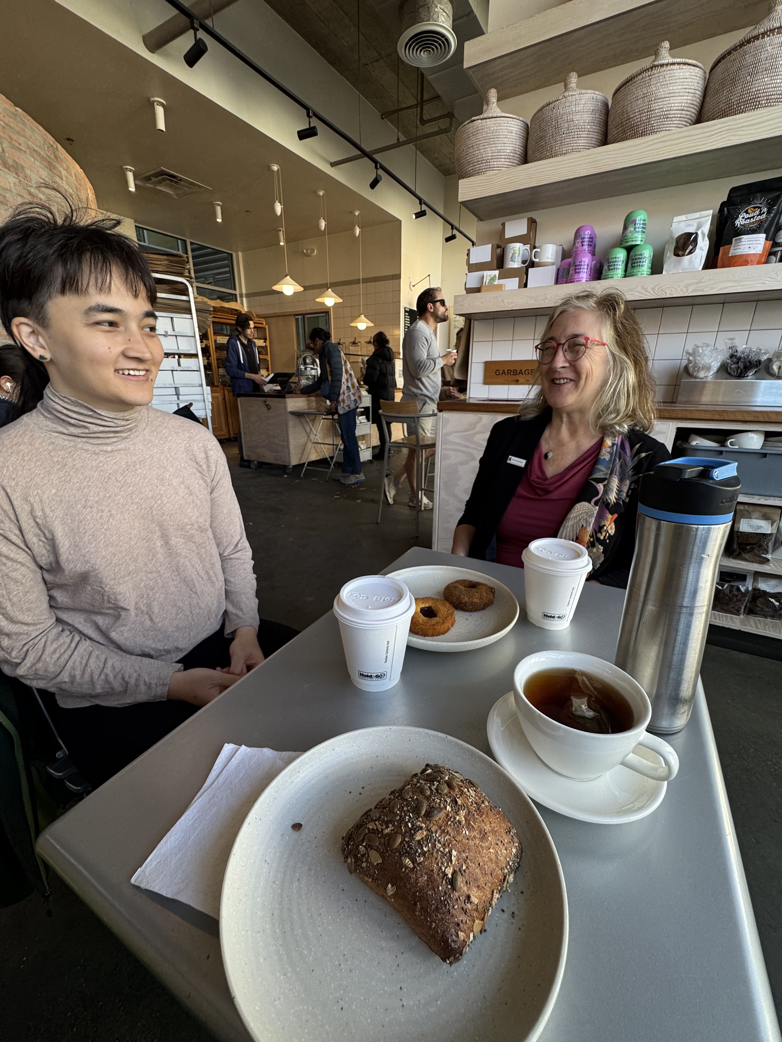
Control No. 6: 10/31/25 Seylou Bakery in Washington, D.C.
Beverage: Hot Chocolate (+ donut)
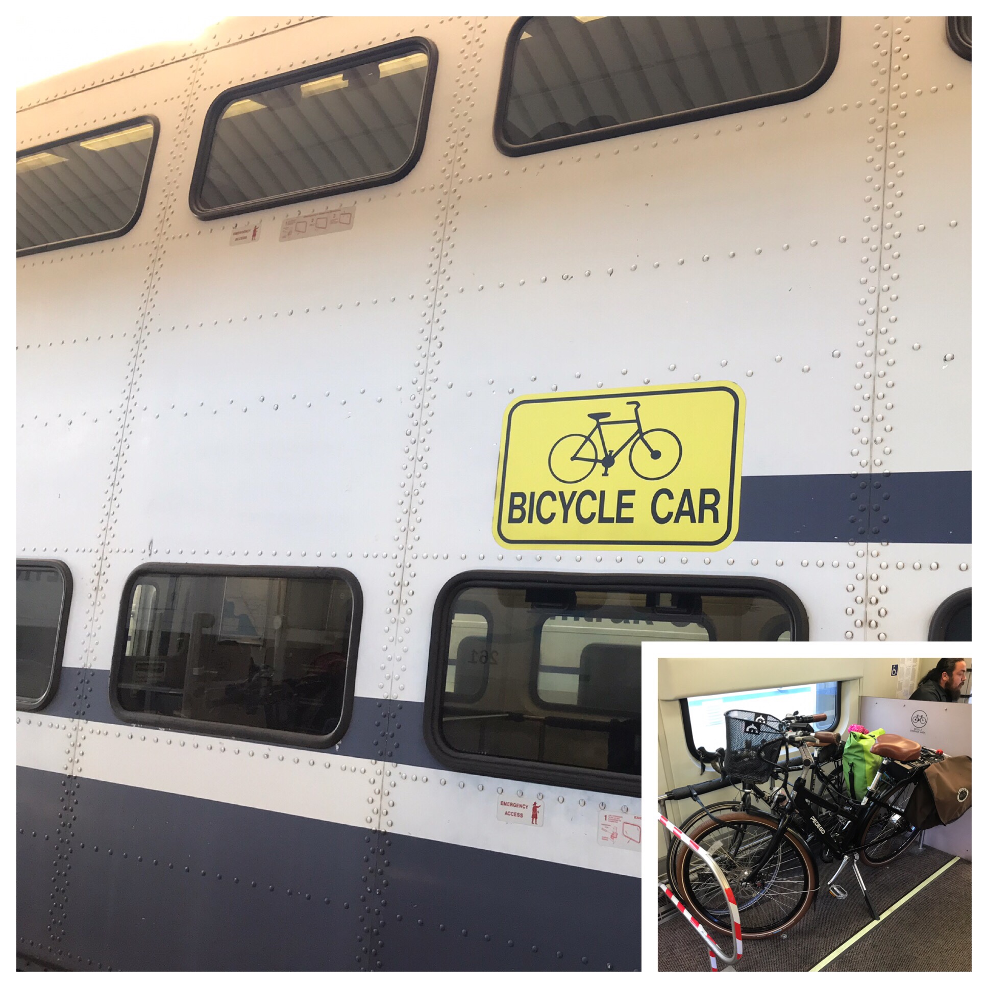
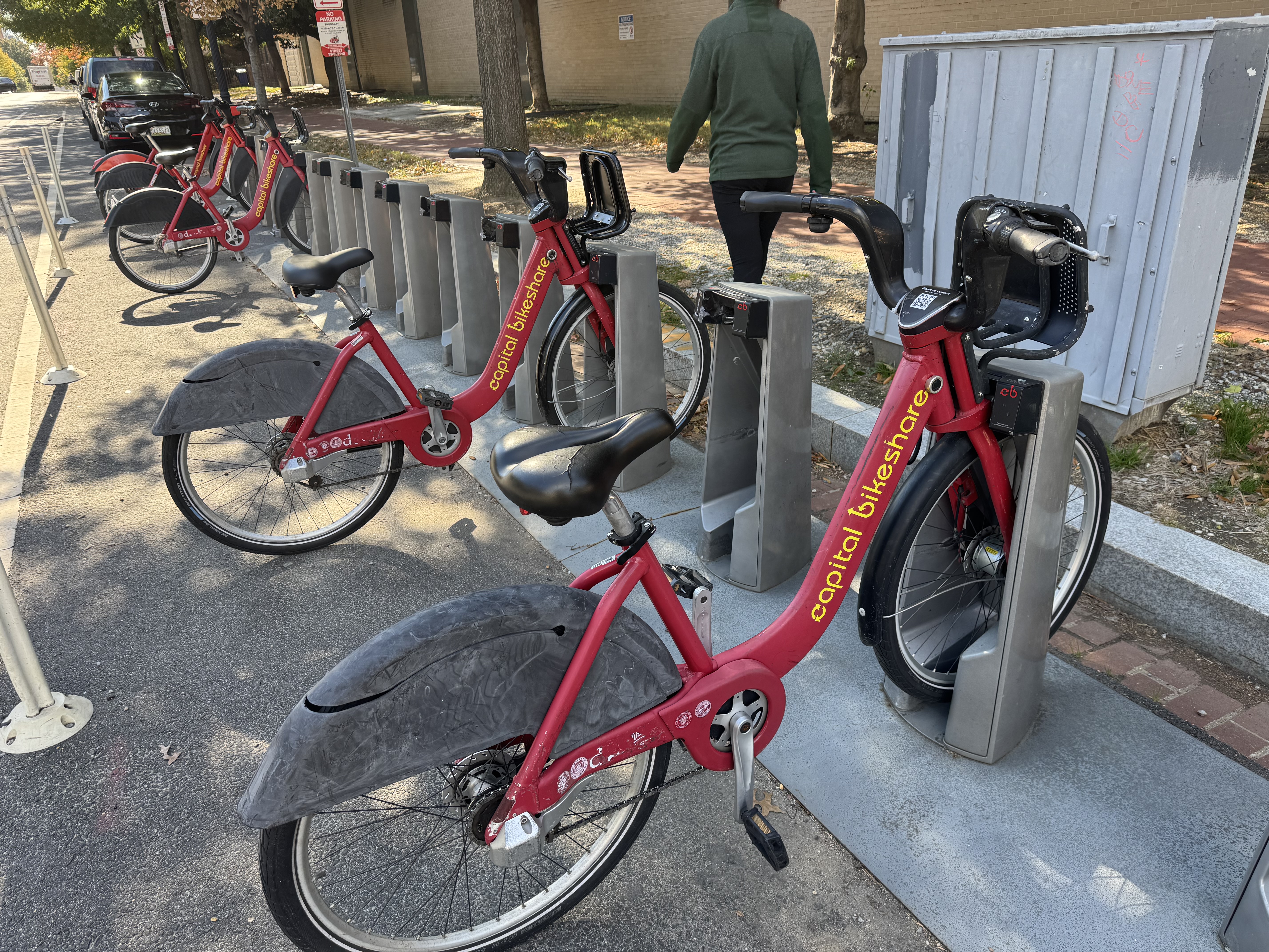
Bike: Capital Bikeshare
Bloomers: Sweet Love
C+1: Emilia and Ilga
Beauty: Fall leaves strewn across the floor
Miles: 4.3
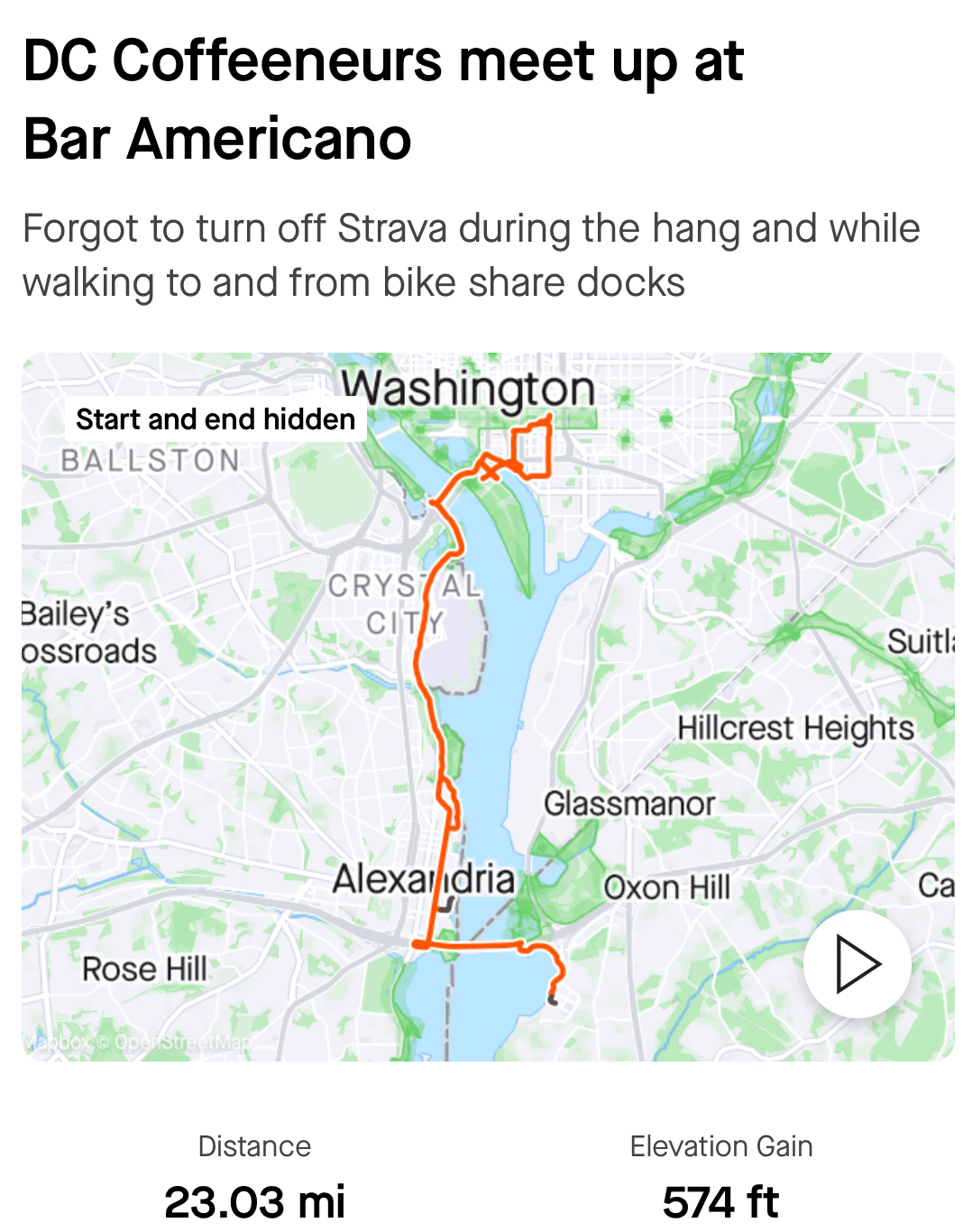
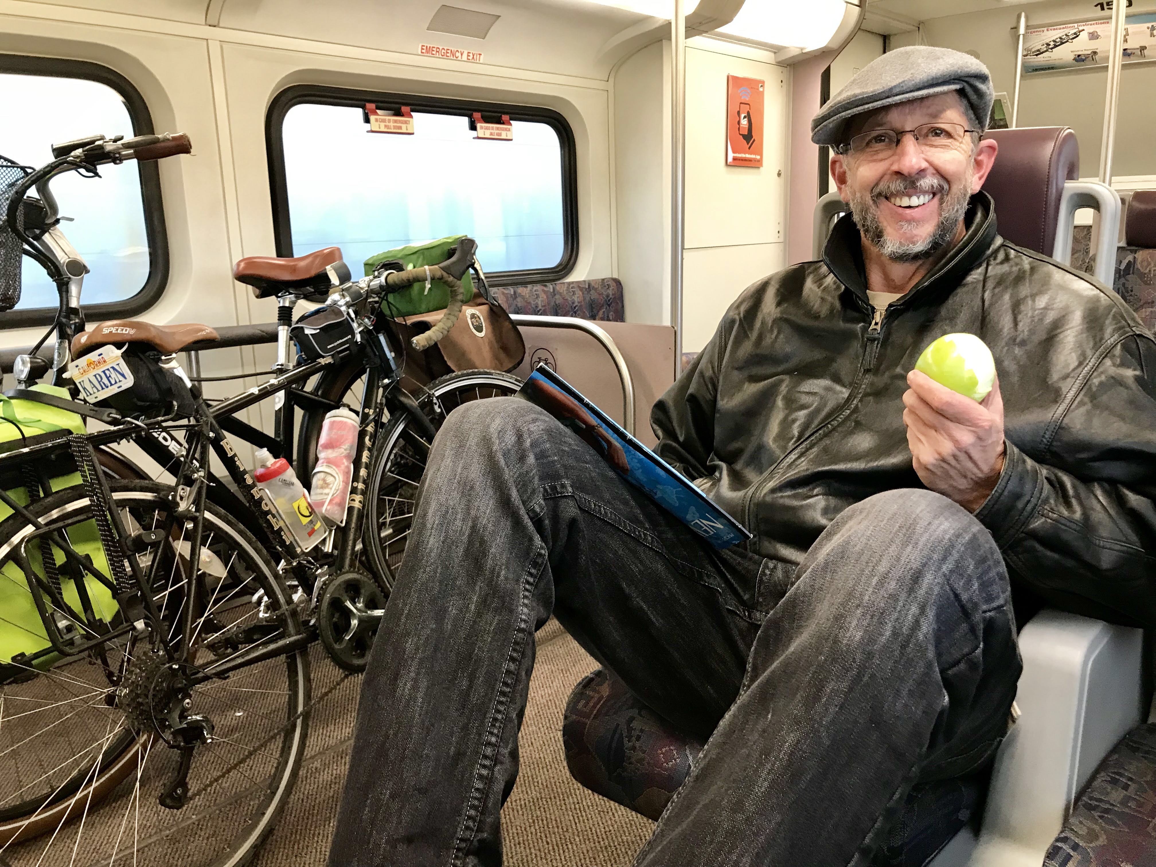
Each year I attend a conference for patent nerds in Washington D.C., so it has become a tradition to get together with a fellow coffeeneur I met a few years ago through the Facebook group for Coffeeneurs. I was especially excited that this year the conference moved back into D.C. proper from the less-appealing National Harbor on the Maryland side of the Woodrow Wilson Bridge. I let my coffeeneuring buddy, Ilga, know that this year I was staying near the convention center and that my daughter, Emilia, would be in town staying with me. Ilga told us about Seylou, one of her favorite coffee shops, which happens to be just a few blocks from where we were staying.
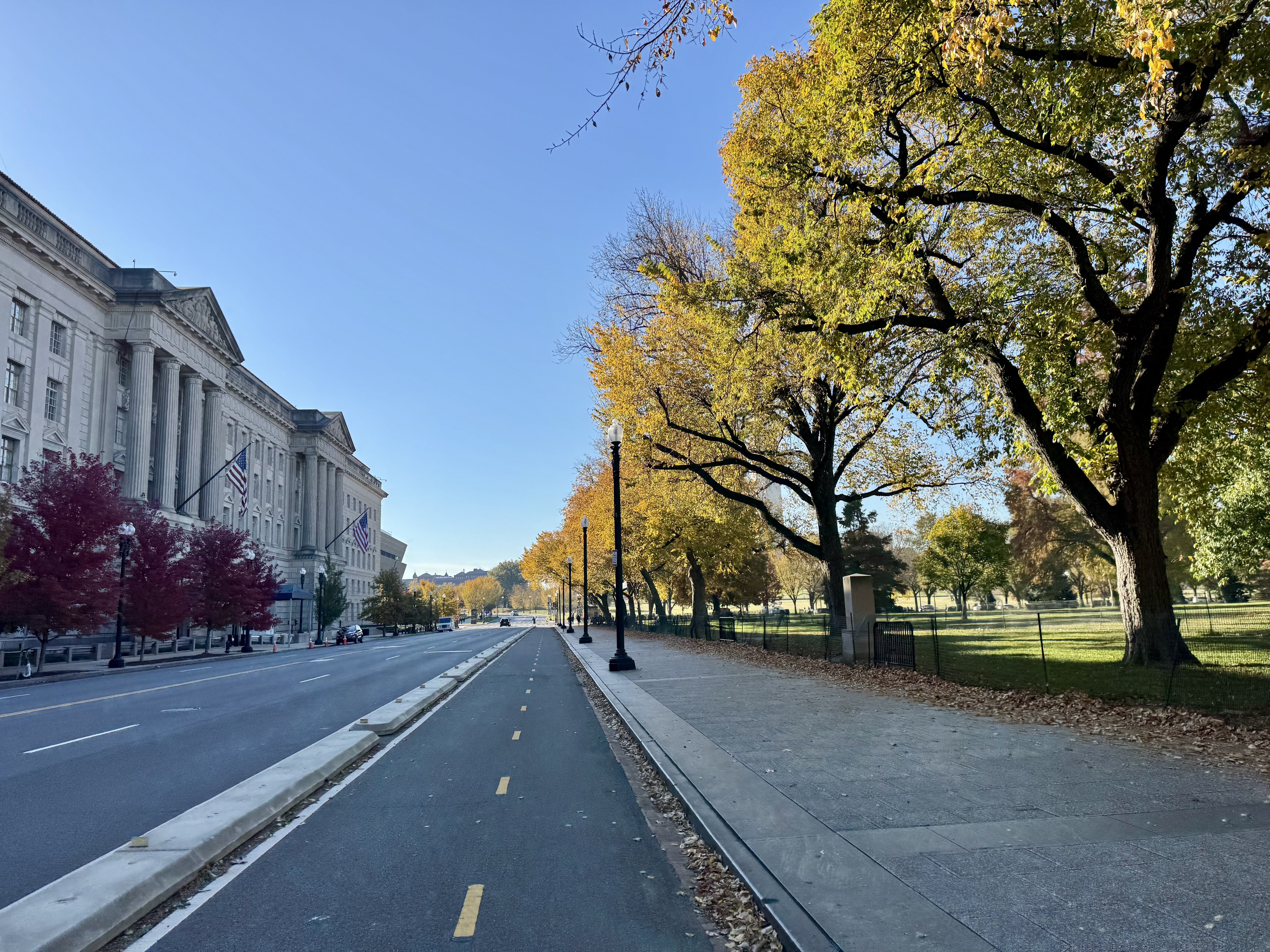
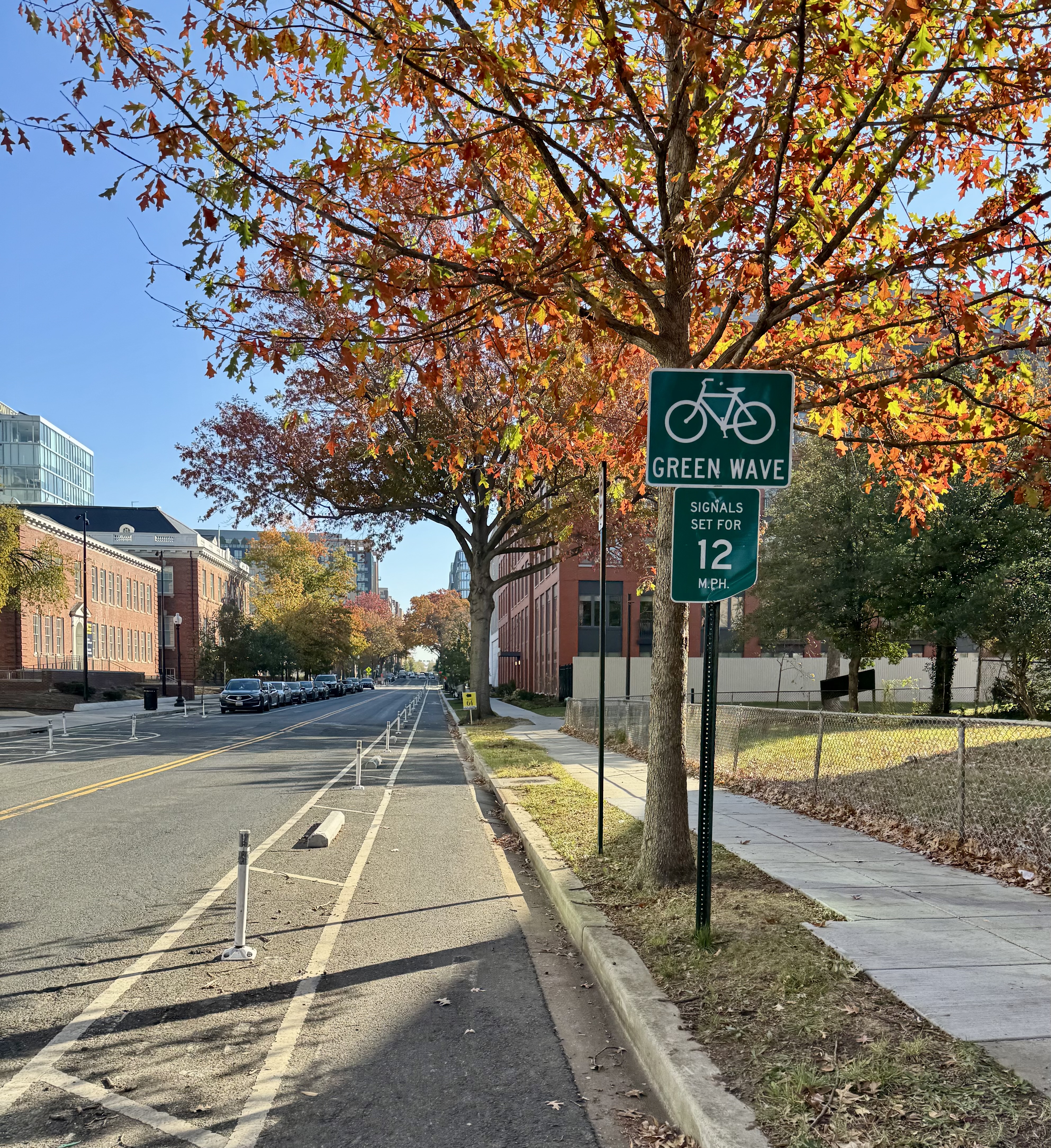
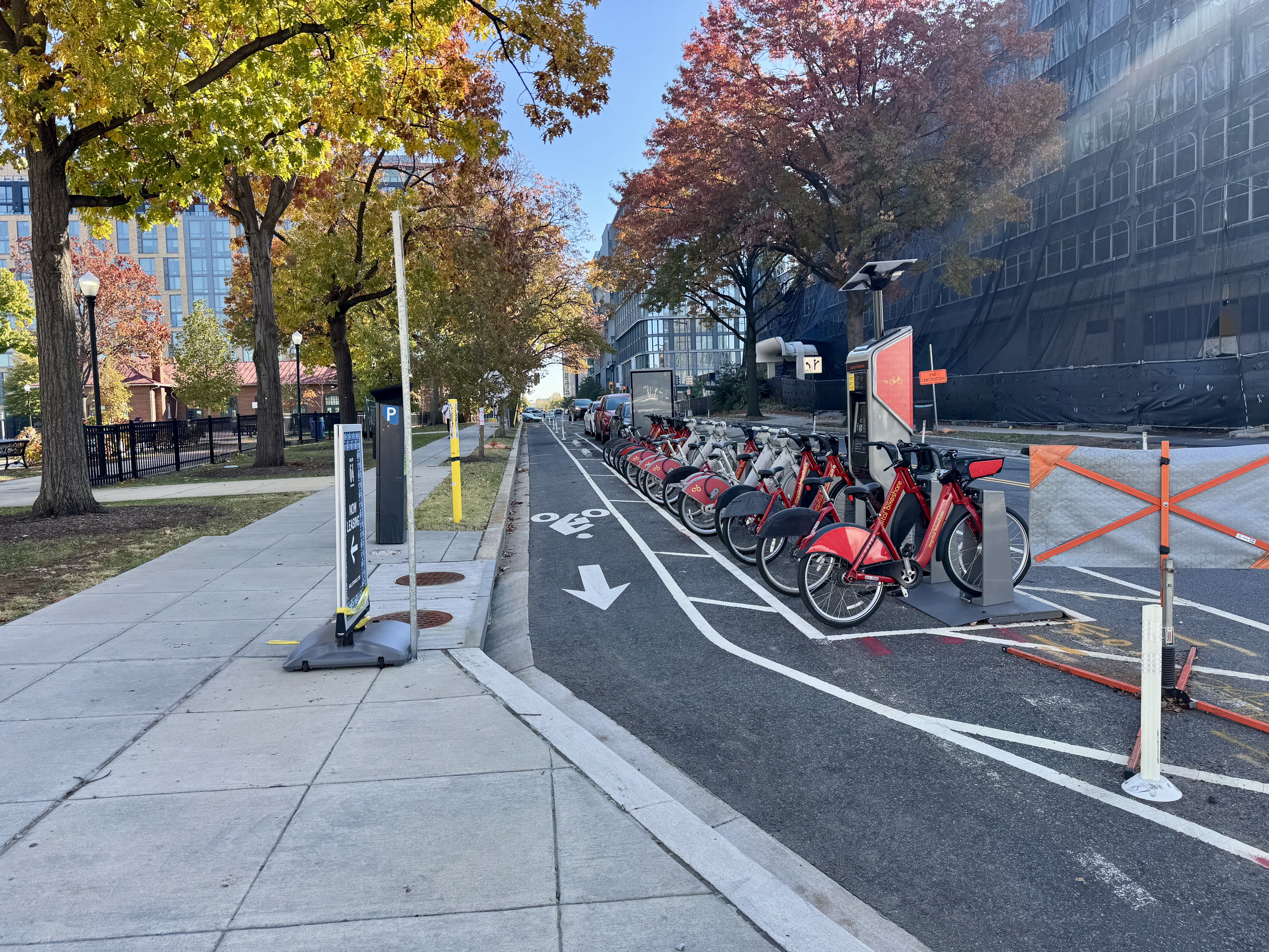
In order to meet the 2 mile minimum biking distance, I planned a route that would have Emilia and I swing by the White House and then loop back north toward Seylou. Unfortunately for my plan, we encountered a wee bit of difficulty getting set up with our bikes. First we had to walk a bit farther than planned to find a Capital Bikeshare docking station that had available bikes. Then, I had trouble figuring out how to check out two bikes at the same time. I had looked into it ahead of time and saw that it should be possible, but what I did not realize is that you have to check them out at the kiosk, not on the app, if you want to get two bikes. By the time I had sorted that all out and we were ready to ride, there wasn’t enough time and we needed to just roll straight on to Seylou.
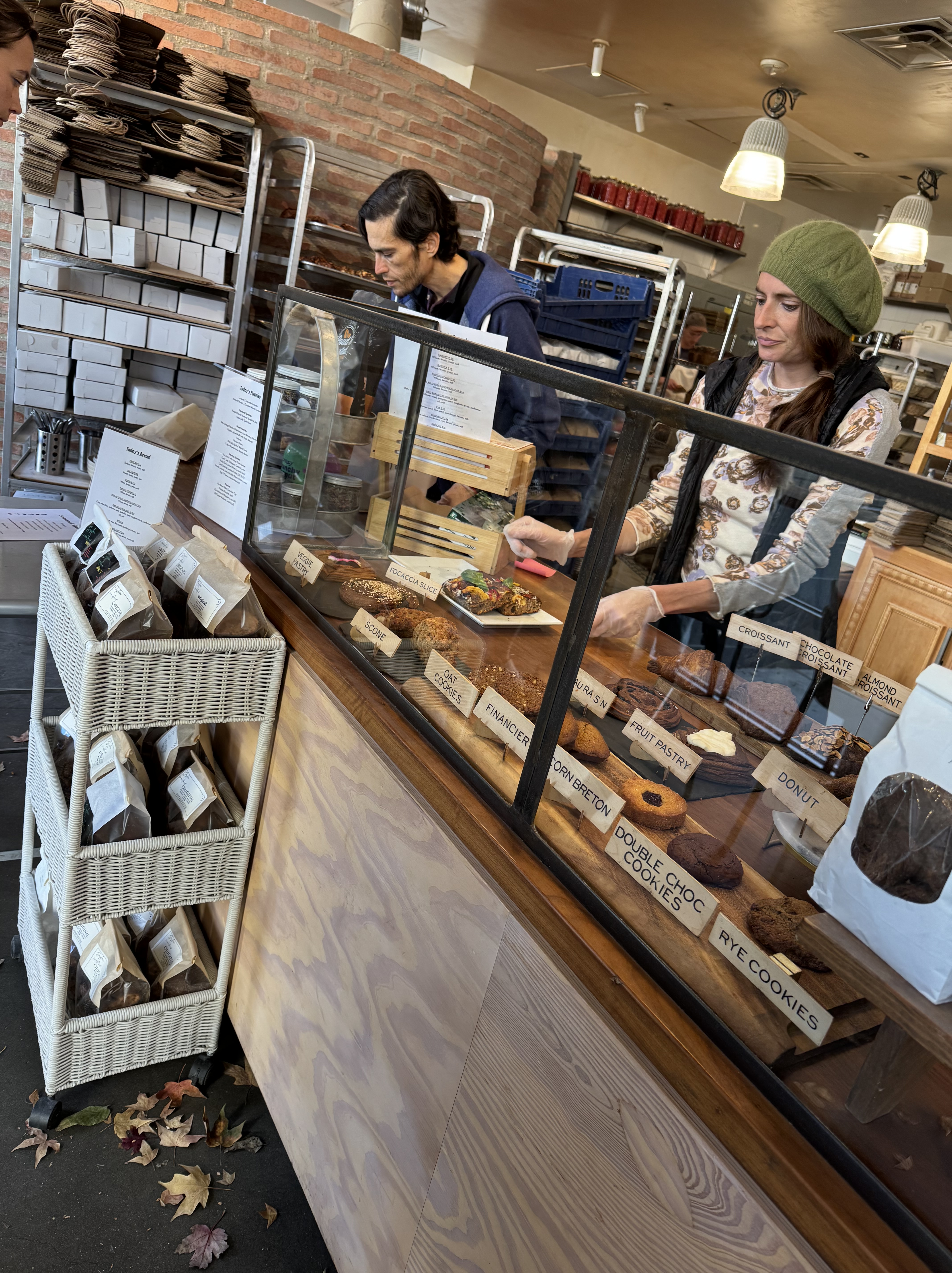
We docked our bikes just a block or so away from our destination, and walked over to Seylou. Walking inside was a Fall delight, as they had Autumn leaves strewn about the place and across the floor, setting a warm vibe. The pastry case was interesting, and Ilga pointed out her favorites. I had hot chocolate and a donut. I believe the donut was a vegan, healthy version of a donut that I would not consider “worth the calories”, but the hot chocolate was delicious, and we had a most enjoyable visit.

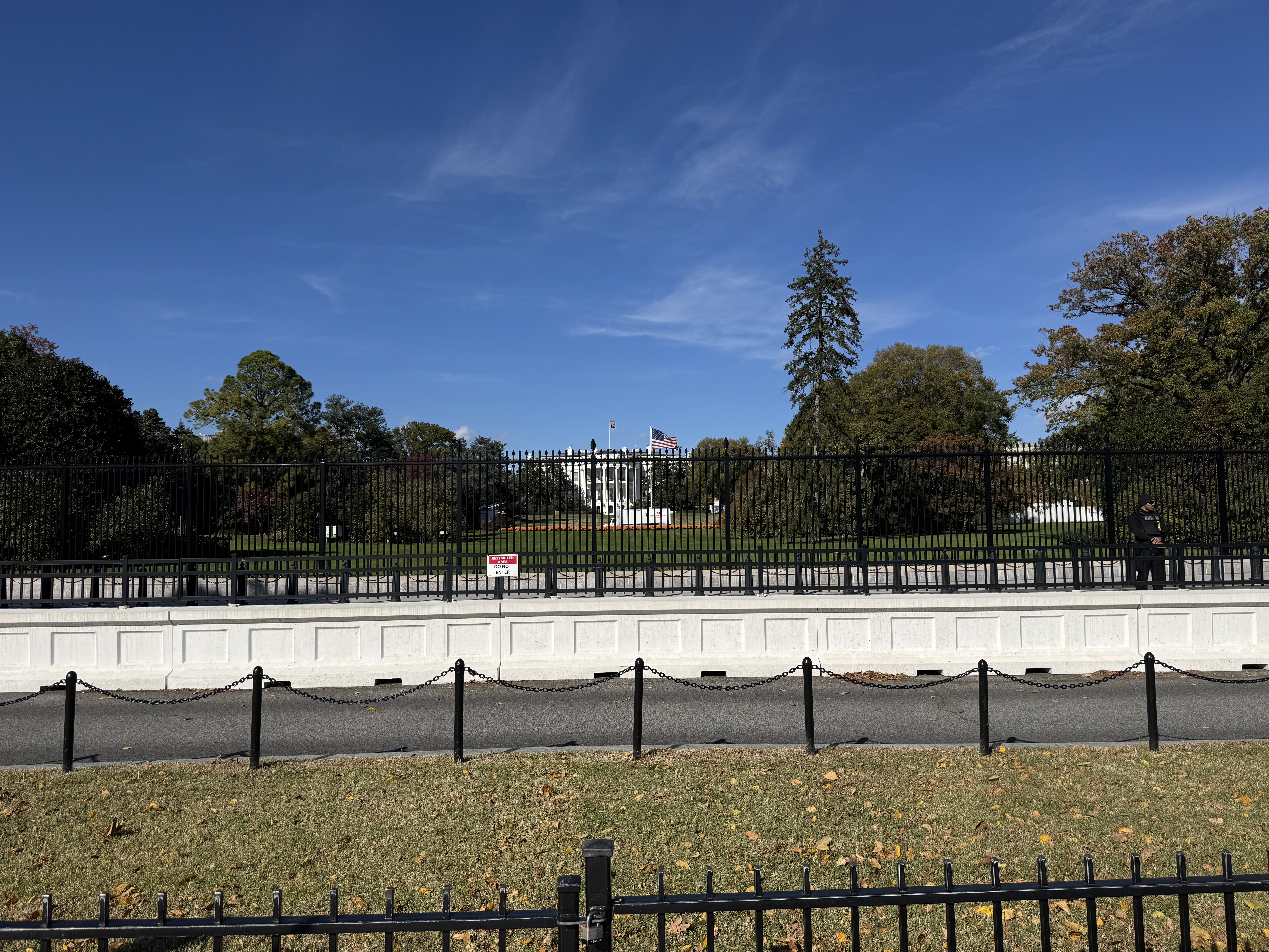
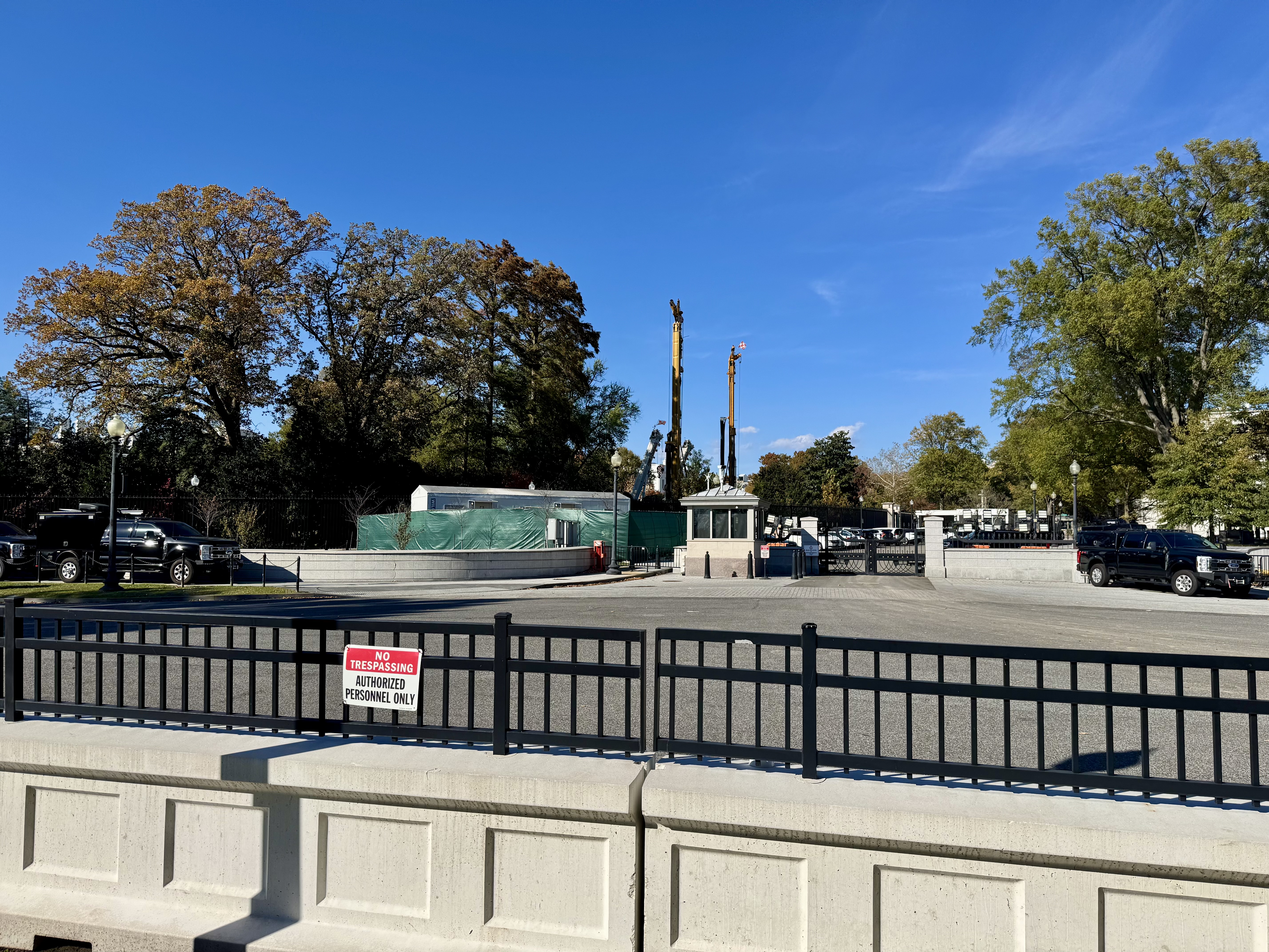
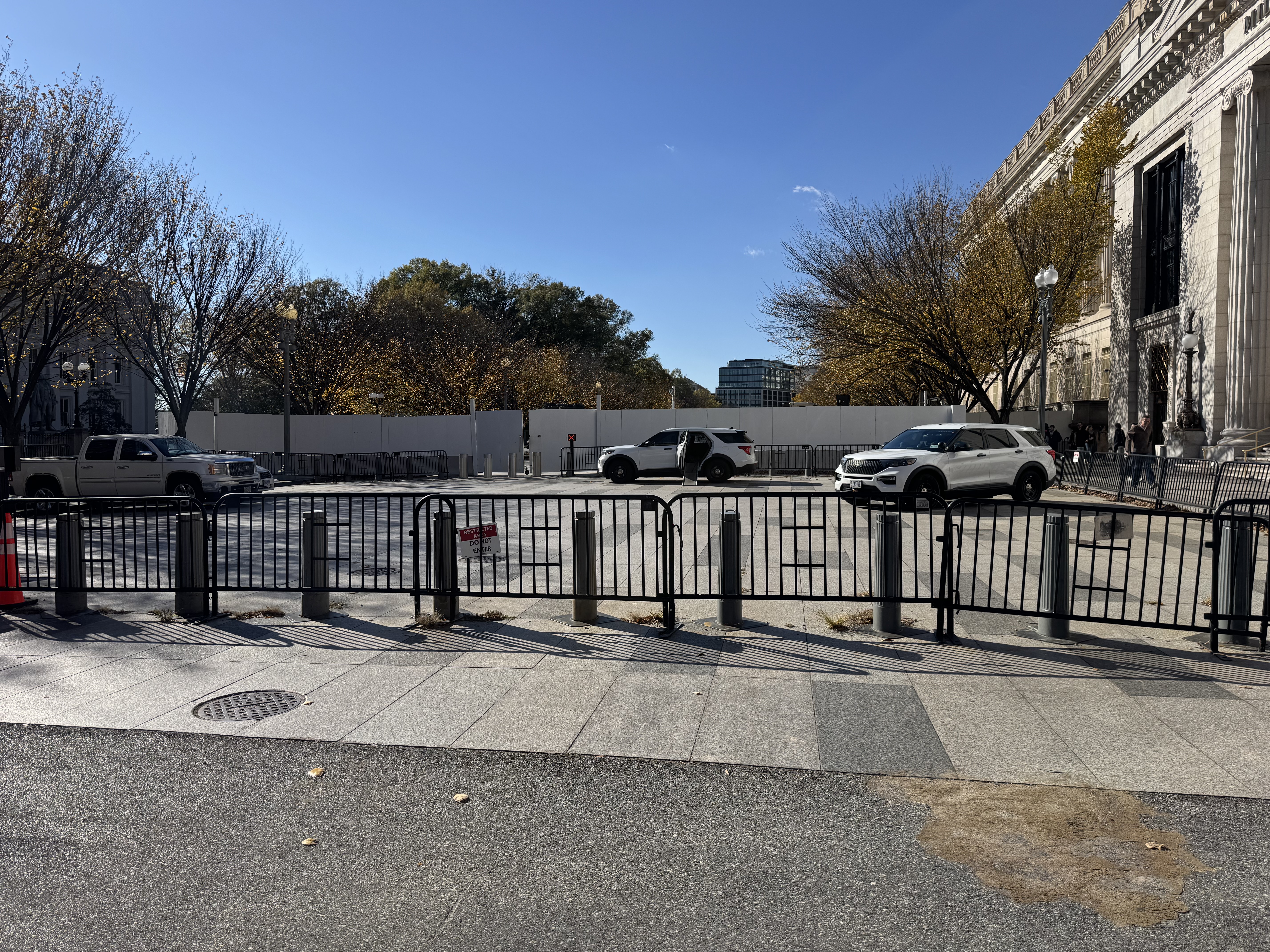
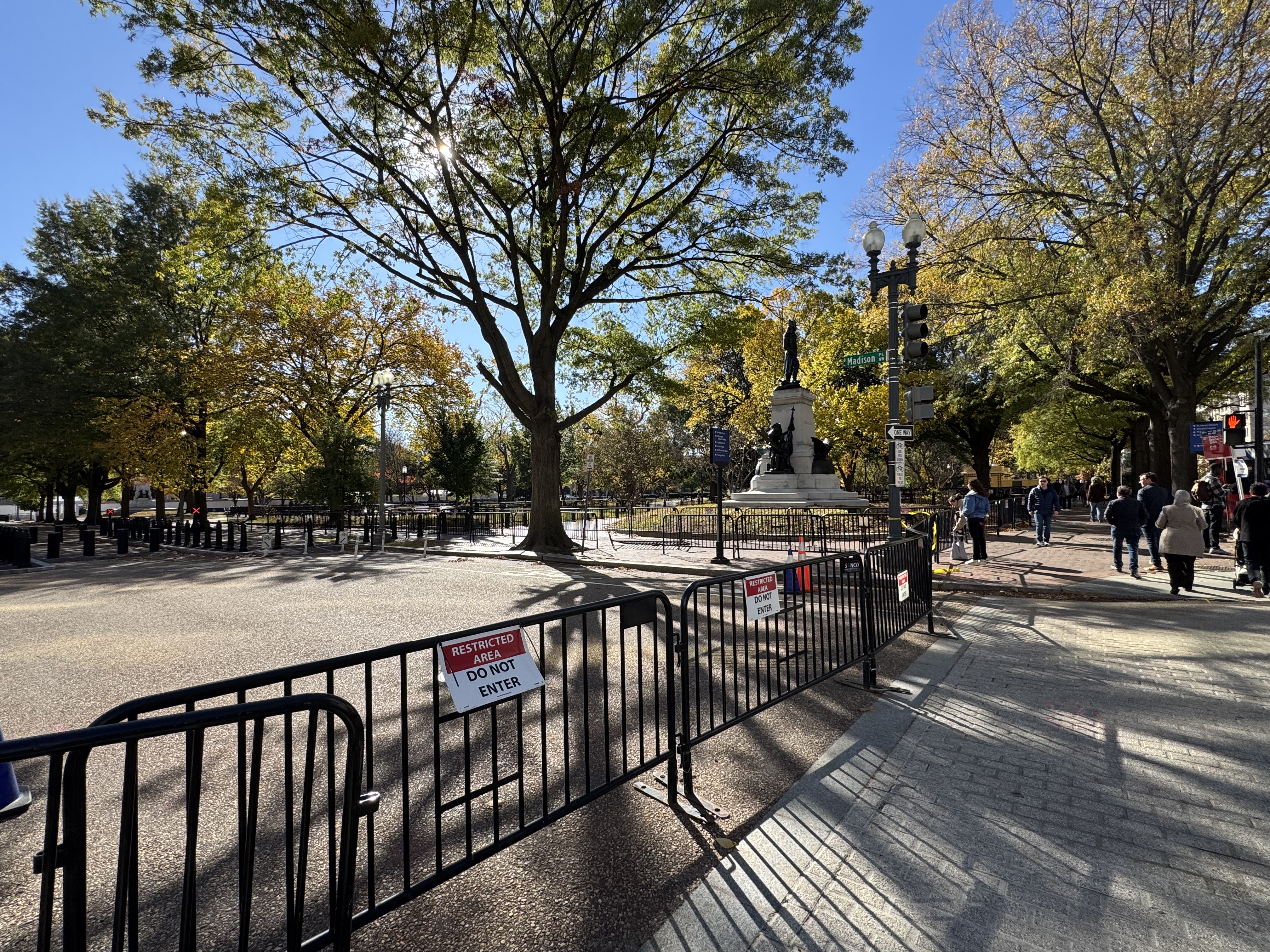
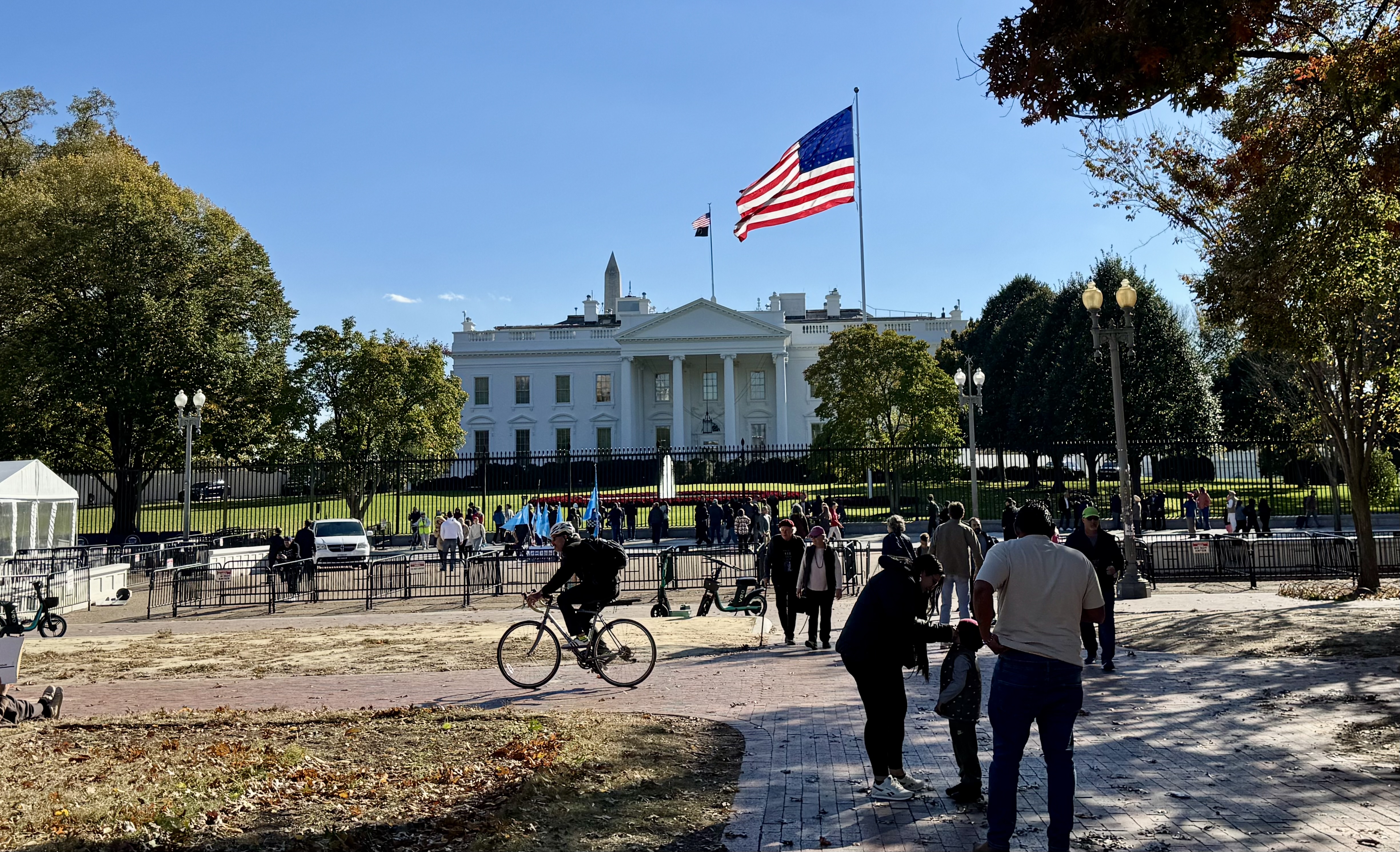
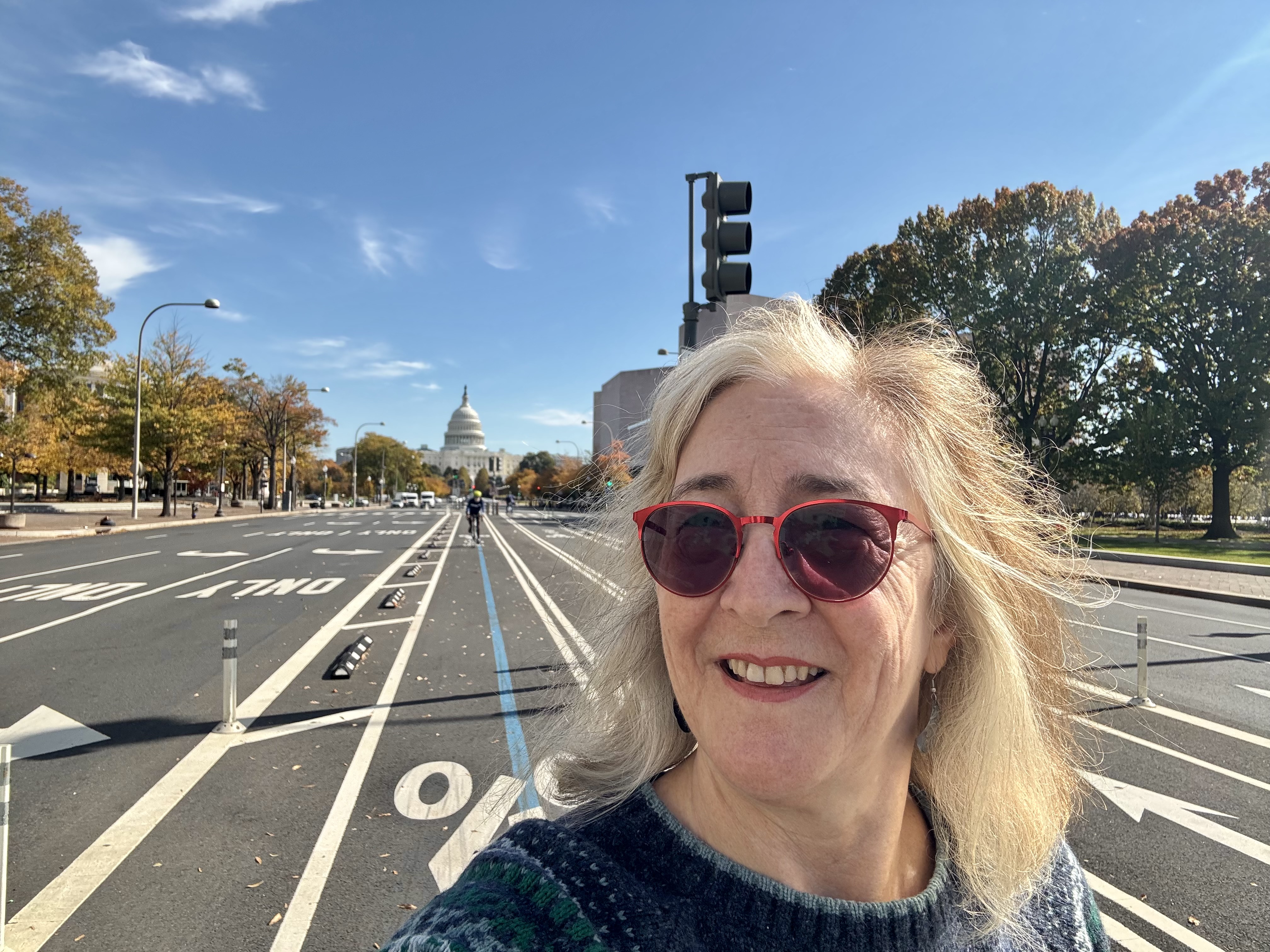
Afterward, Emilia was ready to just walk the few blocks back to our hotel, while I was eager to complete my intended route and biking mileage. So we parted ways and I walked over to a different bike dock alone and found me a fresh ride. From there, I rode through Chinatown and then along the Mall toward the White House. This allowed me to snap selfies in front of key landmarks as part of a game set up by the meeting organizers to get us out and seeing the sights of our nation’s Capitol. I wanted to roll by the White House because a hot topic in the news at the time was the demolition of the East Wing, and I was curious to see what was going on. Of course, the entire east end of the White House grounds was walled off and nothing could be seen other than some cranes that were taller than the walls. I was also saddened to see that the access to the street that runs in front of the White House was completely blocked off from the east side, as was Lafayette Square Park.
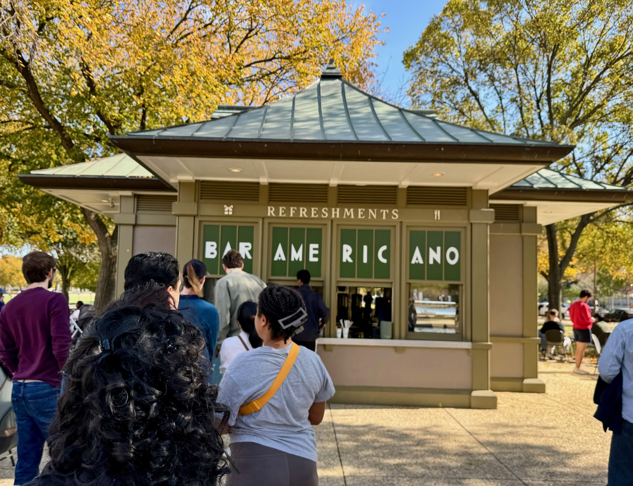
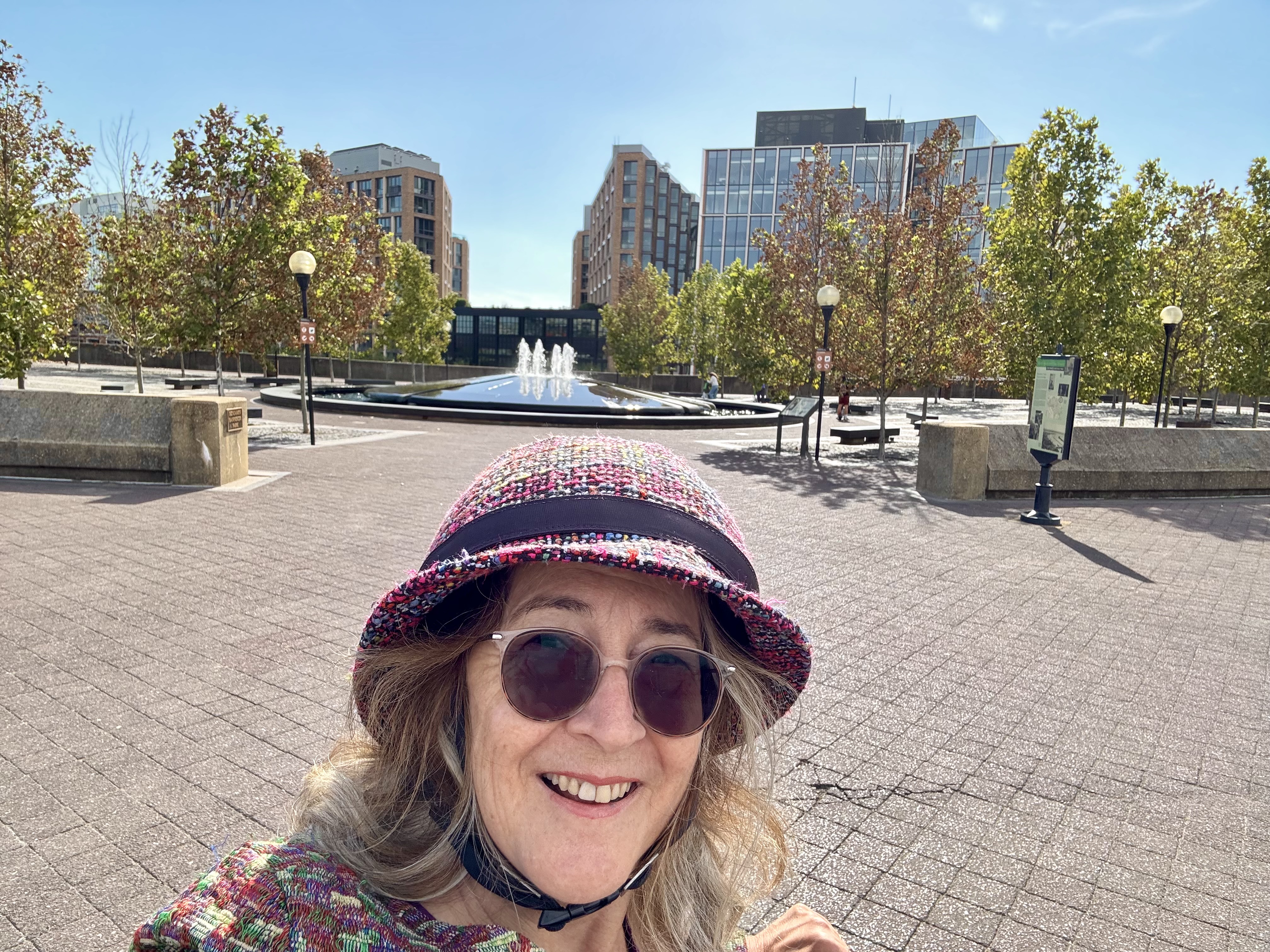
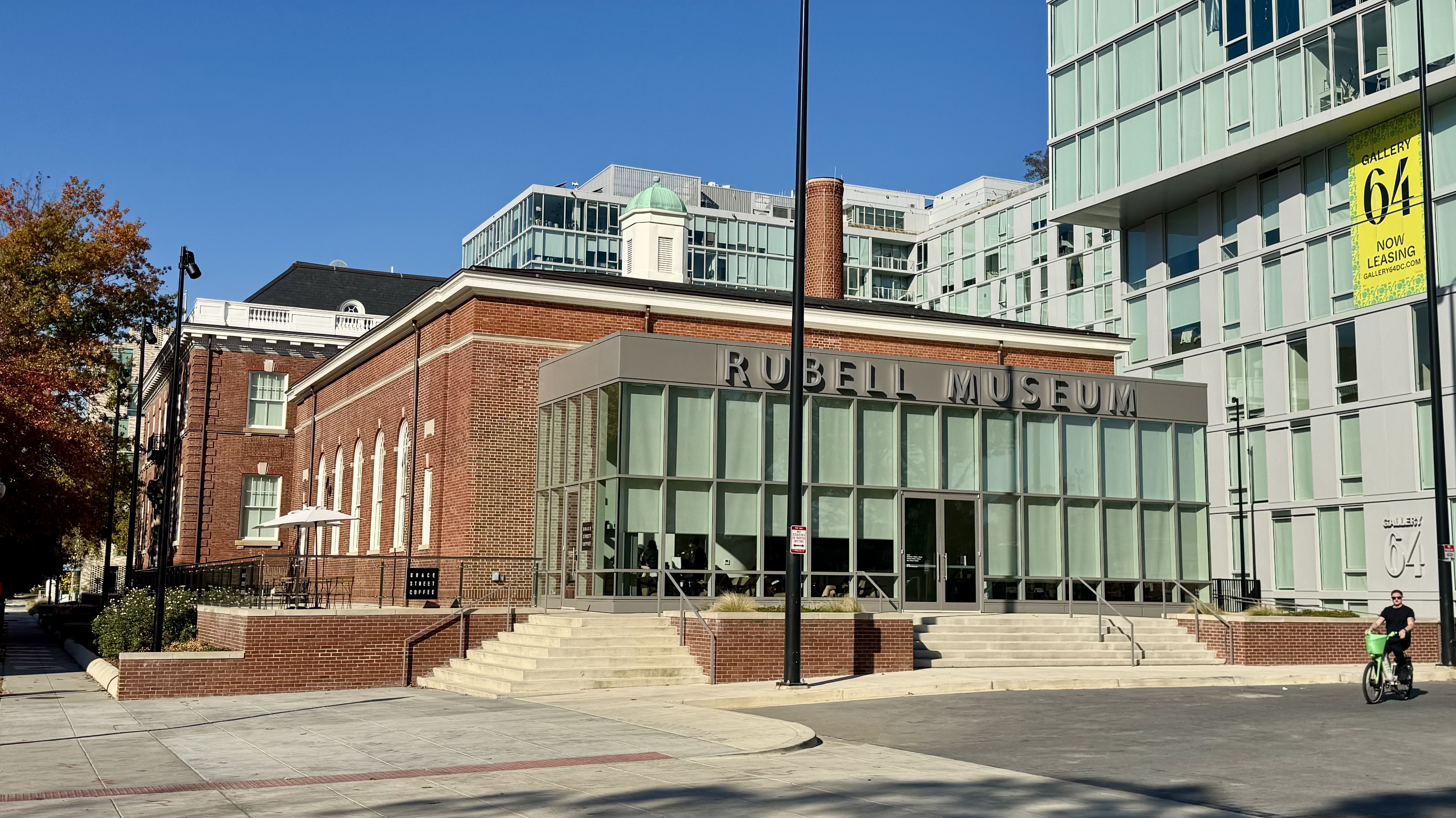
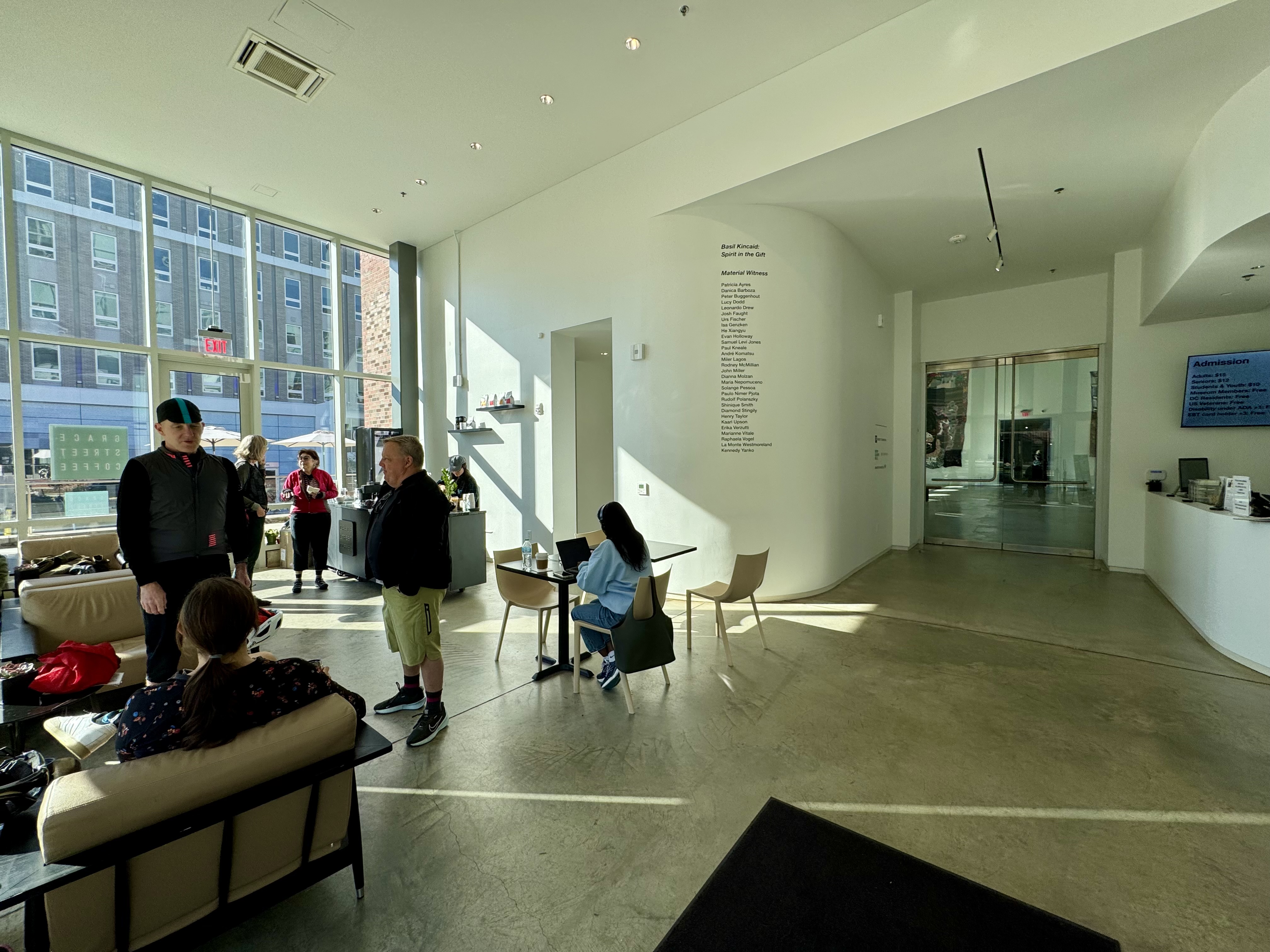
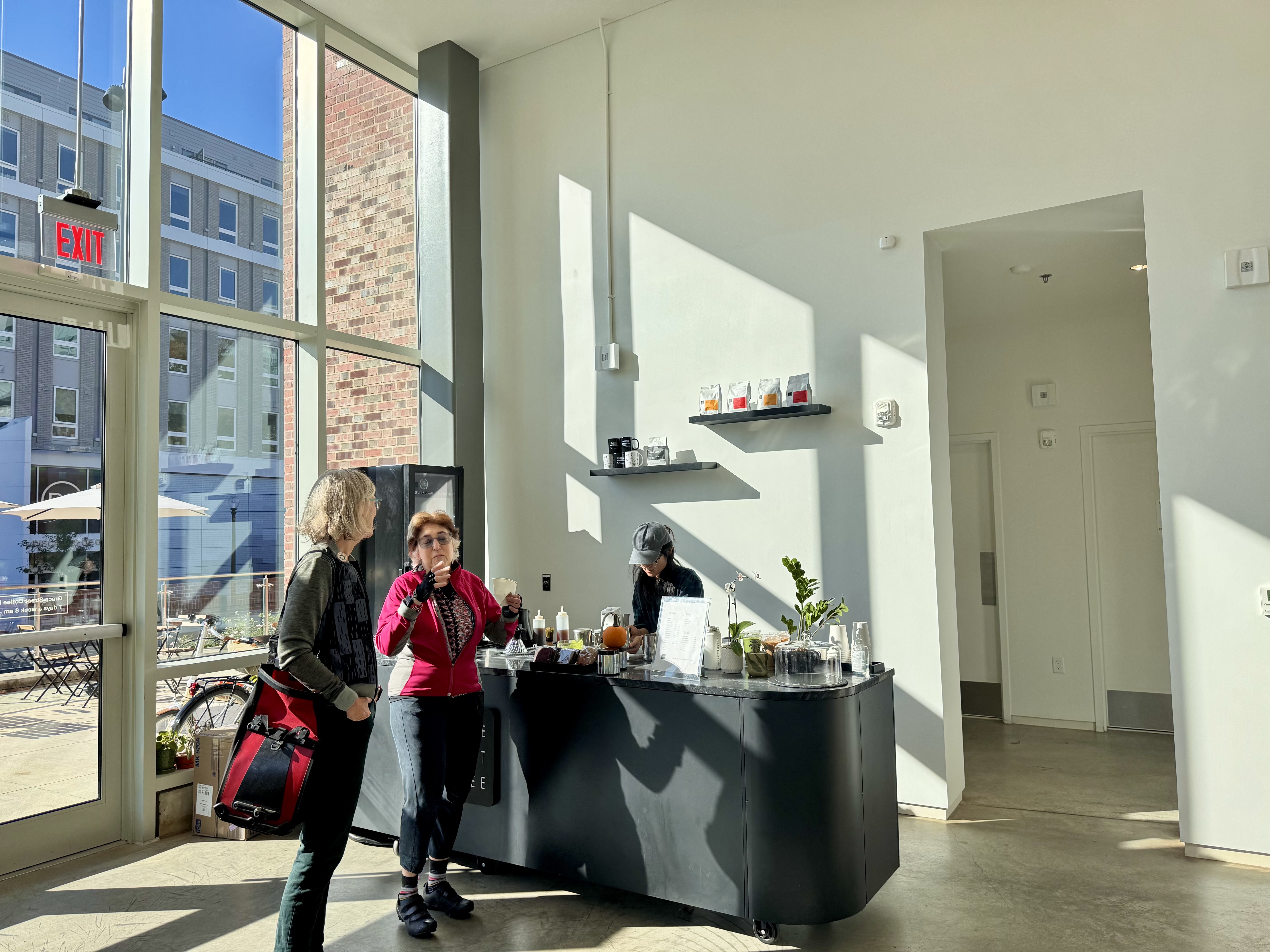
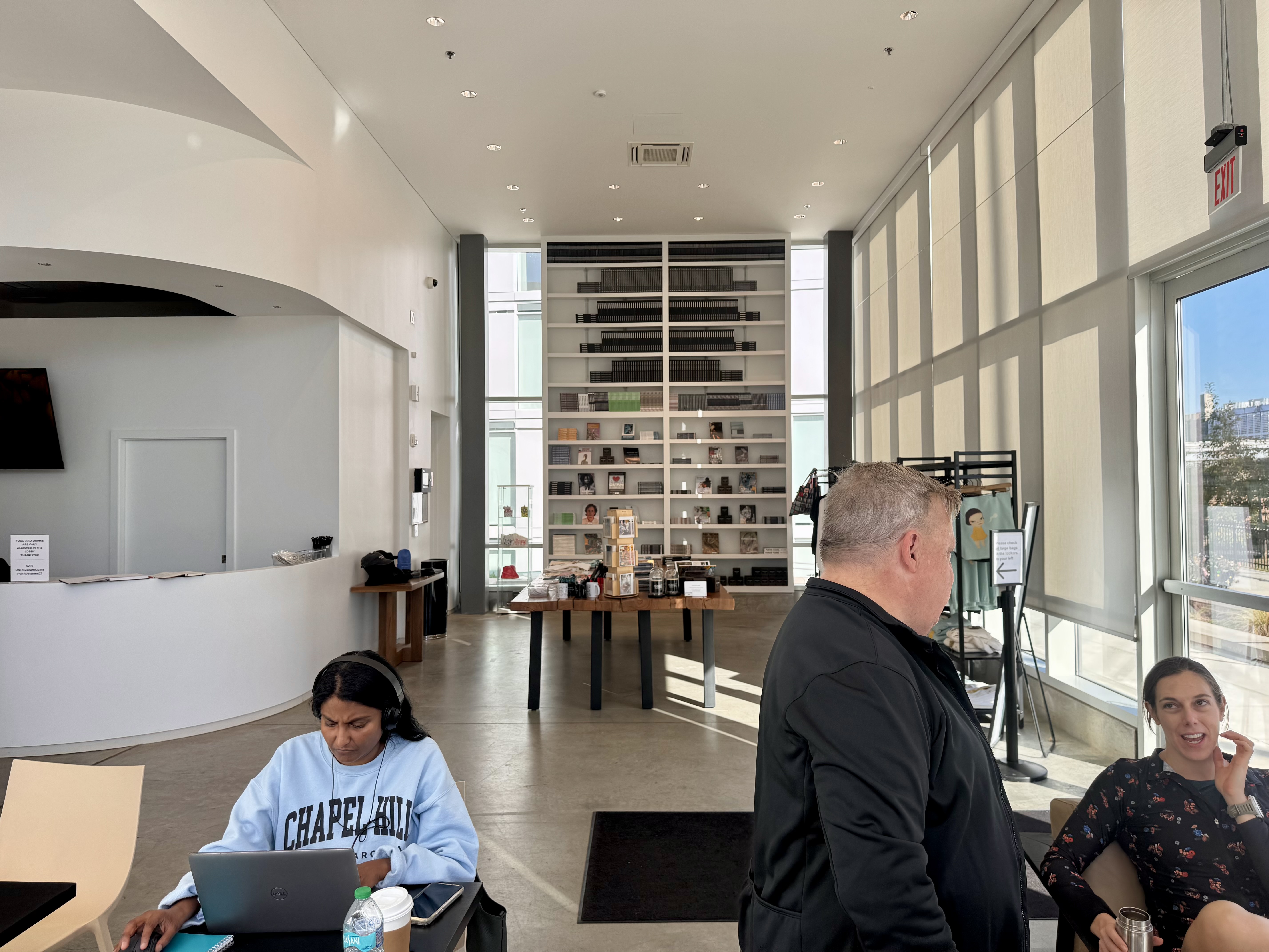
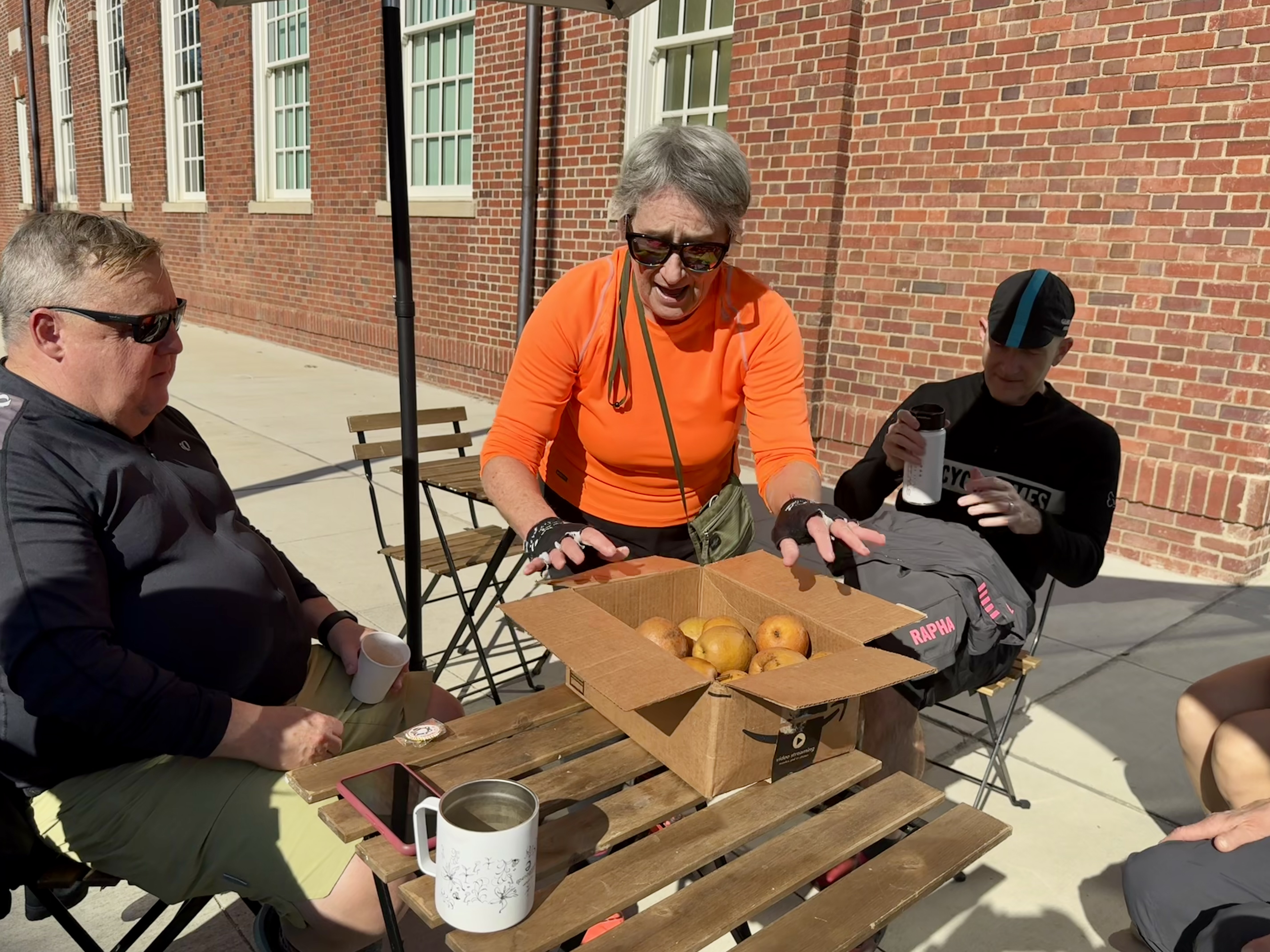
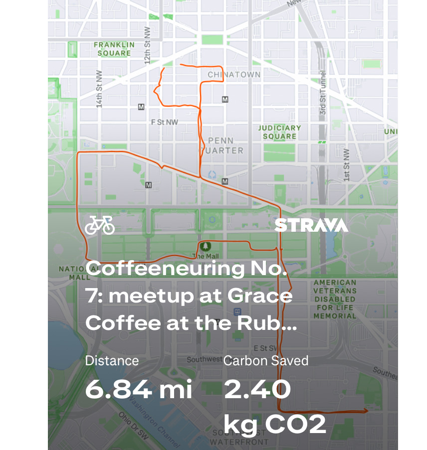
Control No. 7: 11/2/25 Grace Coffee at the Rubell Museum in Washington, D.C.
Beverage: Cafe au Lait
Bike: Capital Bikeshare
Bloomers: Bike Like A Boss (pinstripe)
C+1: D.C. Coffeeneurs
Beauty: super high-ceiling lobby of art museum & gift shop
Miles: 6.8
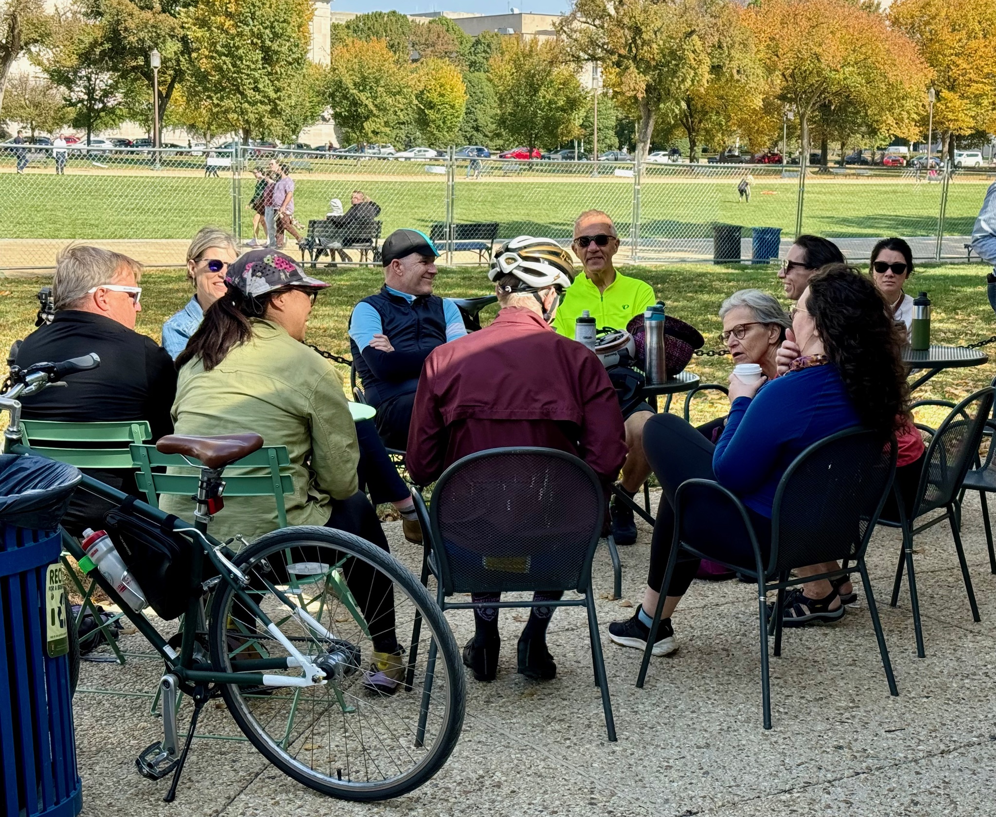
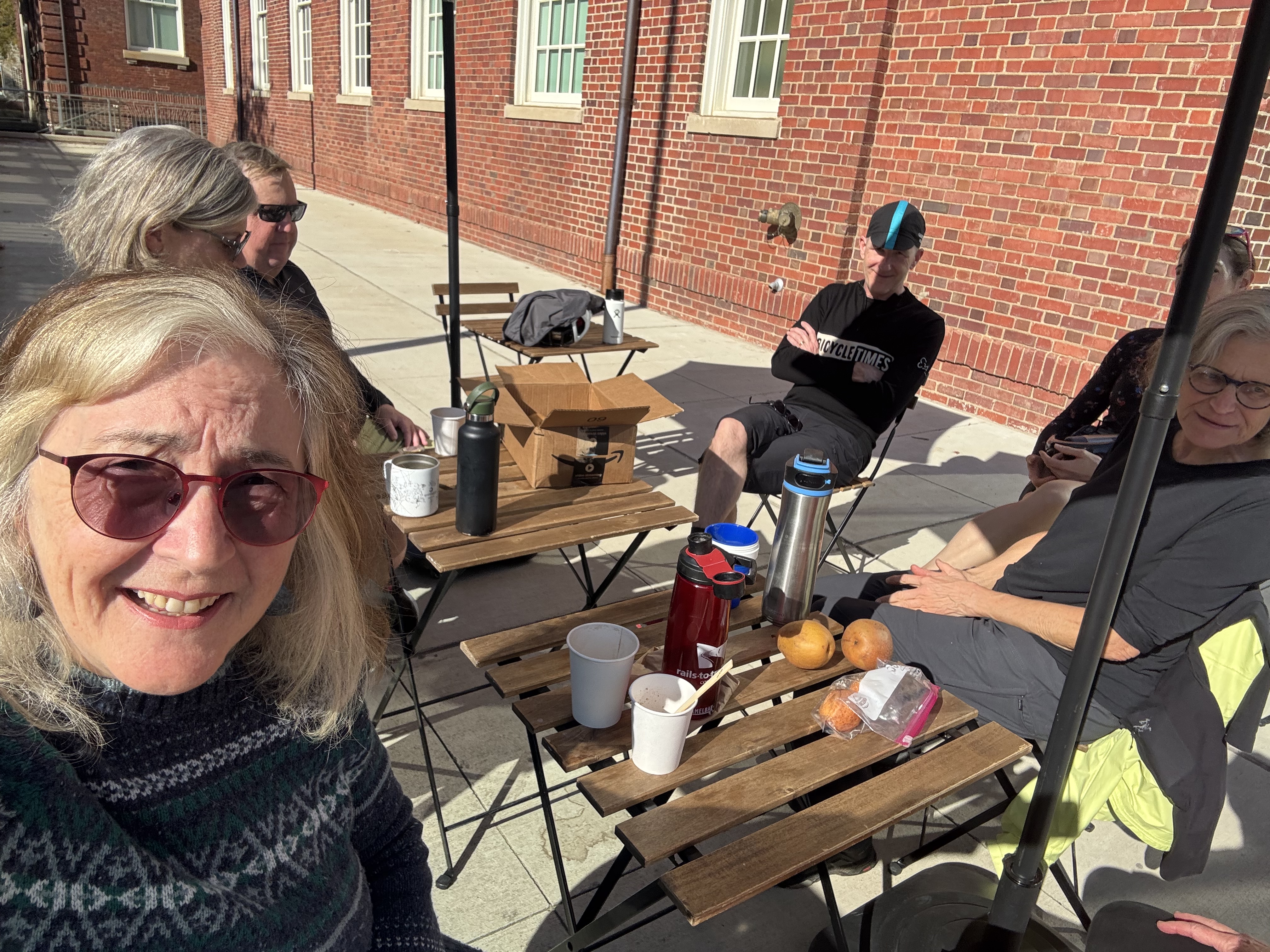
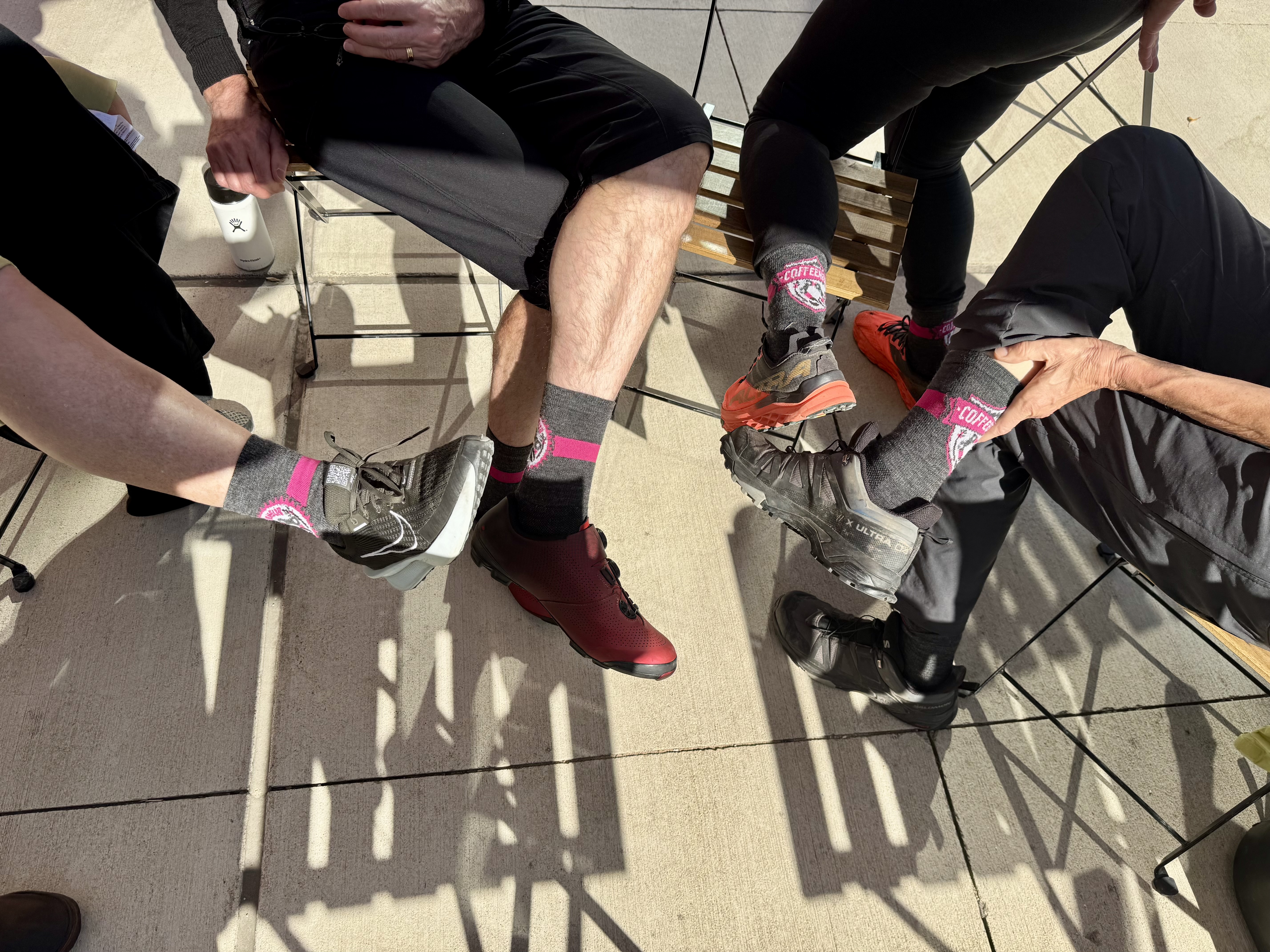
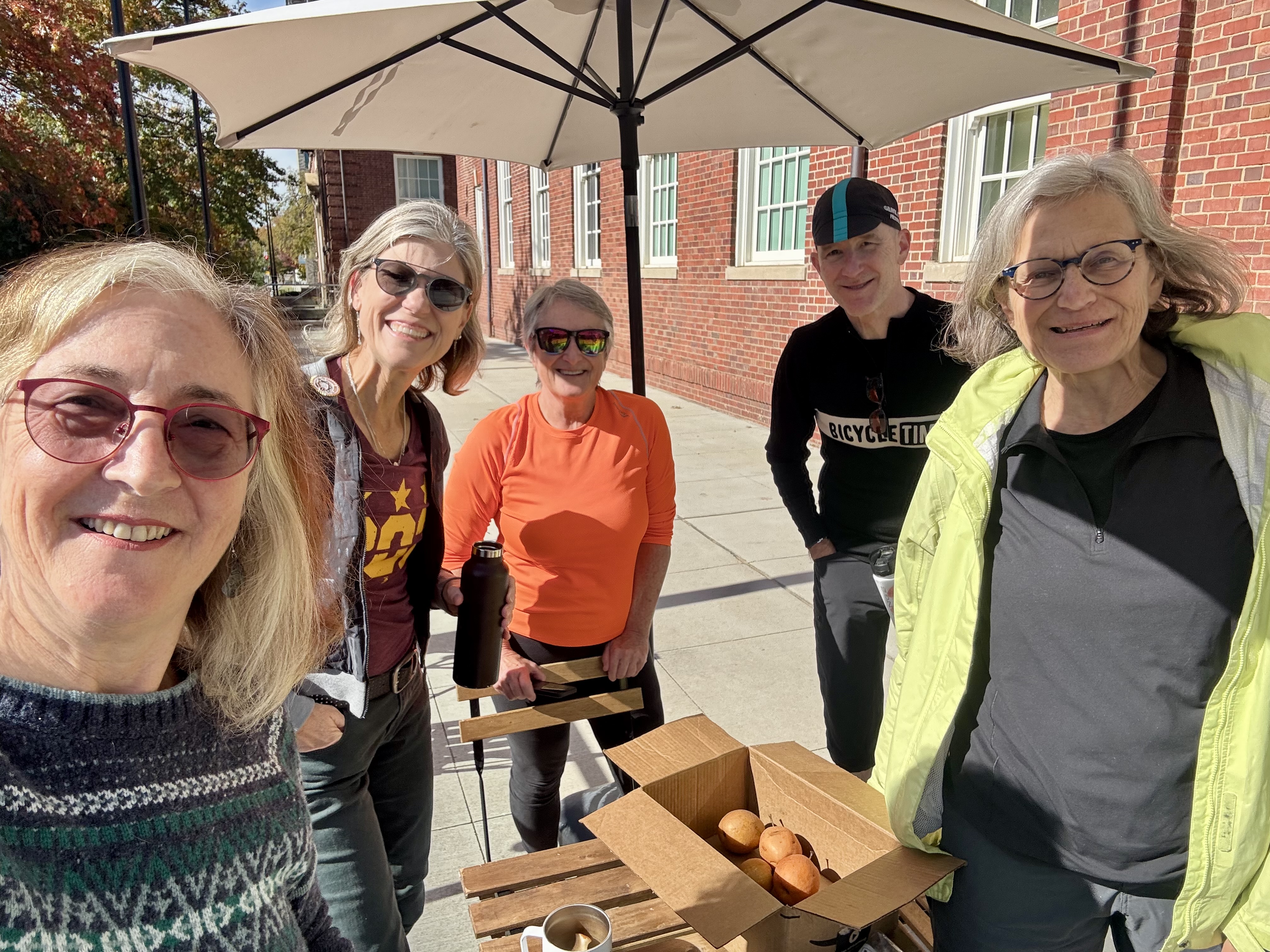
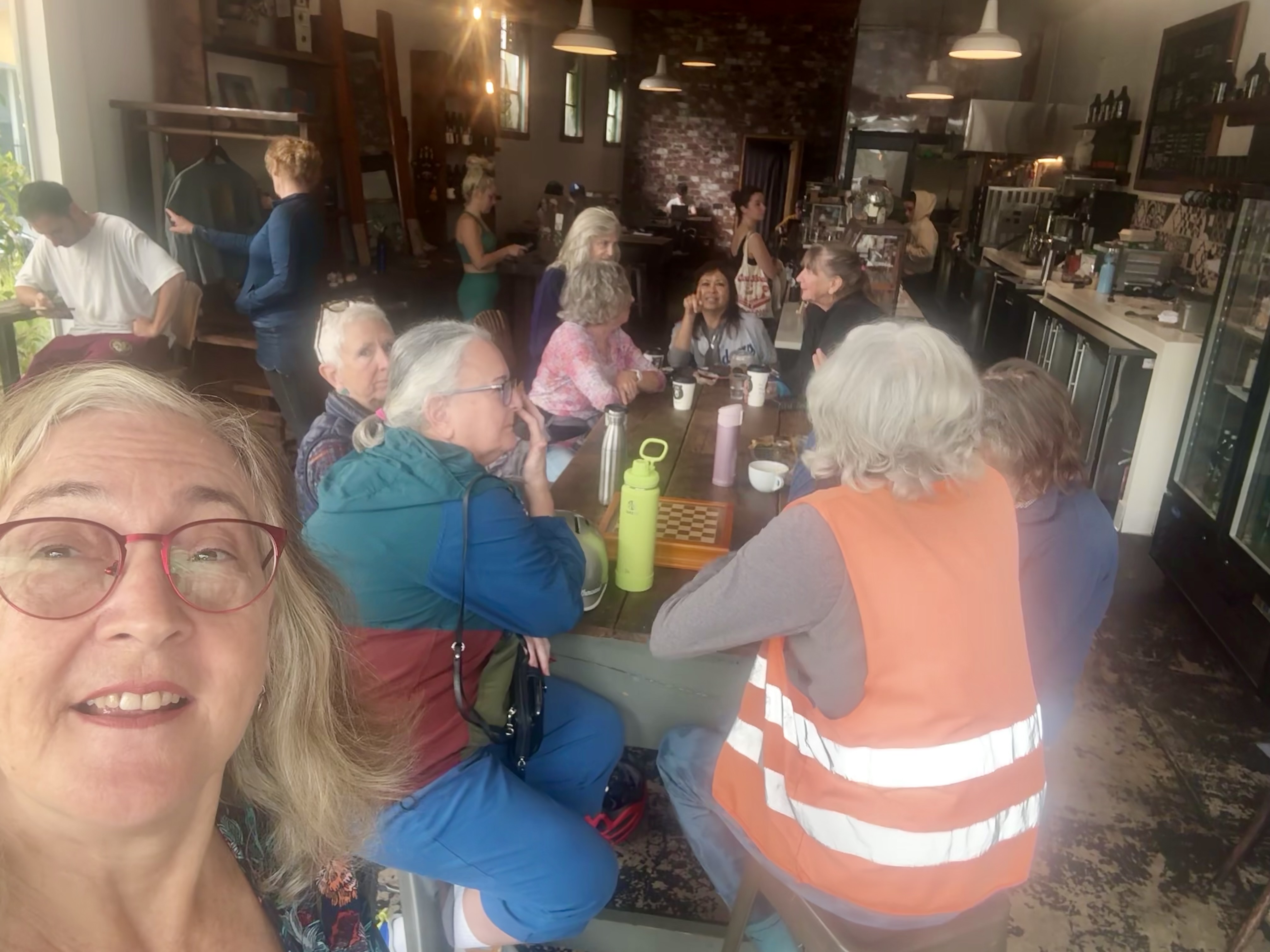
Last year, the Chief Coffeeneur, who is based in D.C., organized a meet-up on the Mall while I was in town. It was so fun and exciting to be able to hop on a bike and join them the day my conference ended. This year, she did it again, this time at Grace Coffee, which is inside the lobby of the Rubell Museum. I was nervous about the cold temperatures, so I wore my sweater dress and jacket, only to find myself sweating while biking on a lovely, sunny day. We sat out on the patio, and soaked up the sunshine while enjoying the company of fellow coffeeneurs. We had a good turnout; there must have been 7 of us in all, including the Chief Coffeeneur, the Intern, Ilga, and several others whose names I had seen in the Facebook group, and now could get to know in person. One was kind enough to bring a box full of asian pears from her generous tree to share with us.
Not only was the day a beautiful one, the coffee shop in the lobby was a beautiful setting as well. I had a cafe au lait, and also took a couple of asian pears home with me.

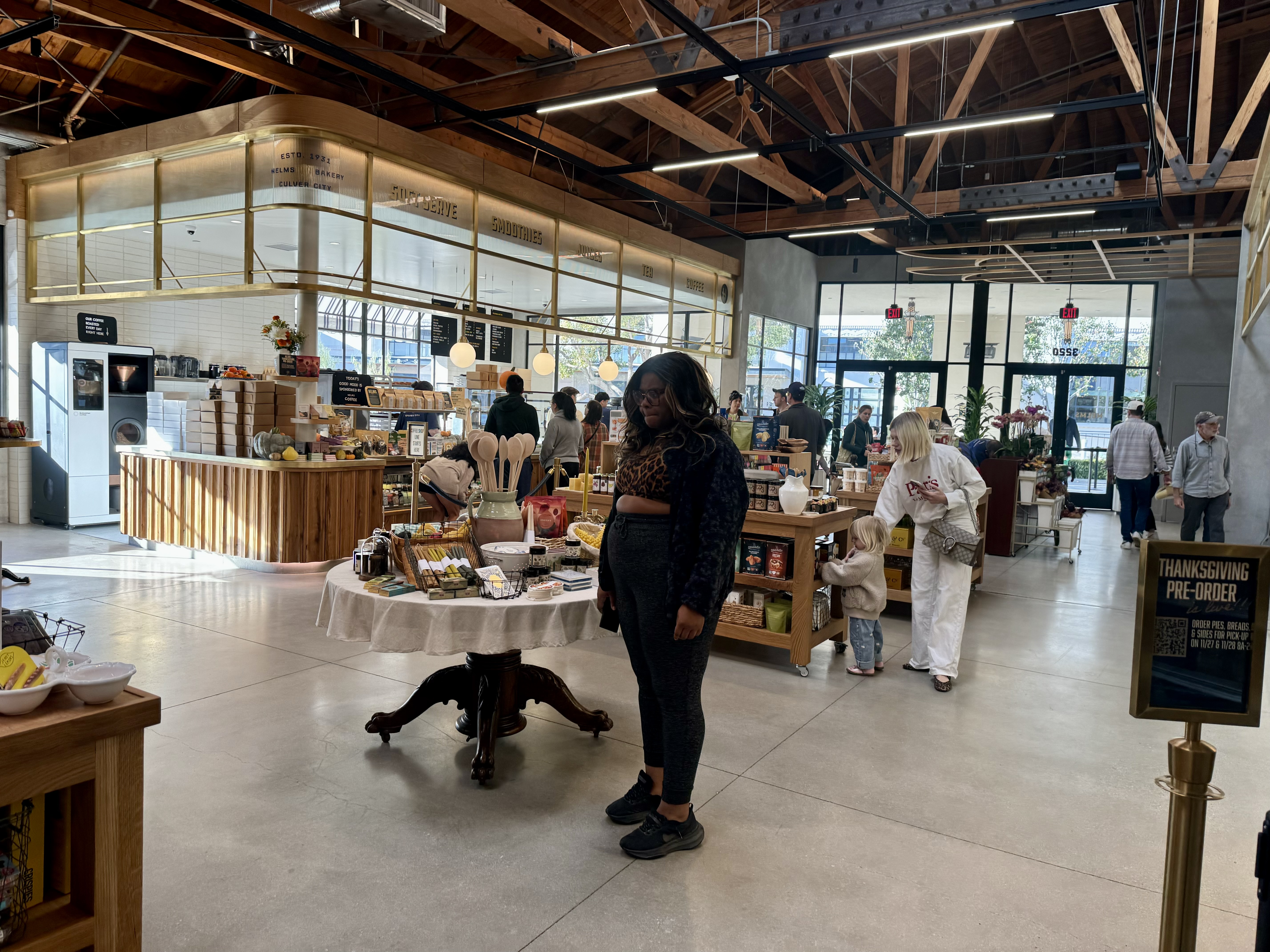
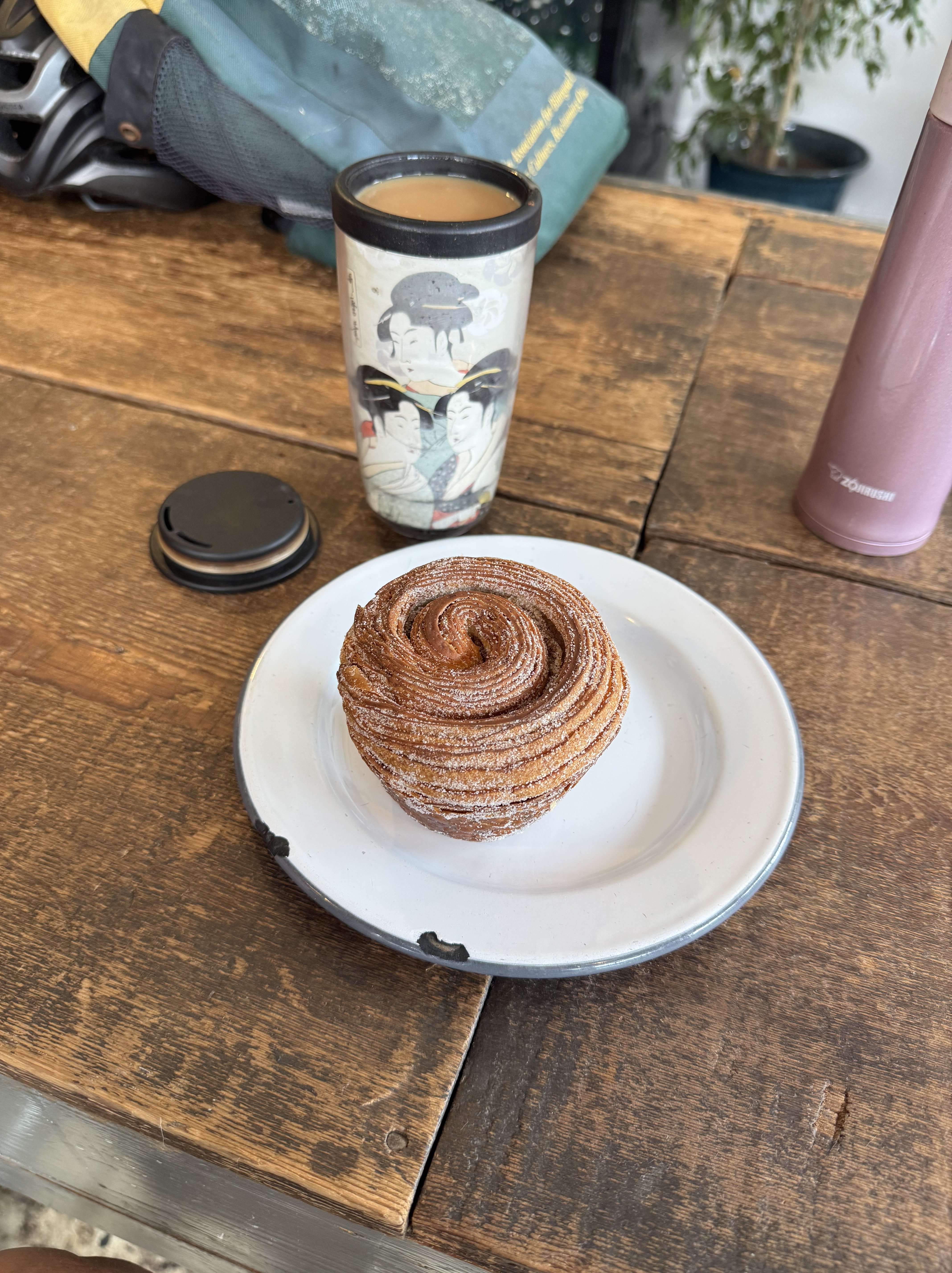
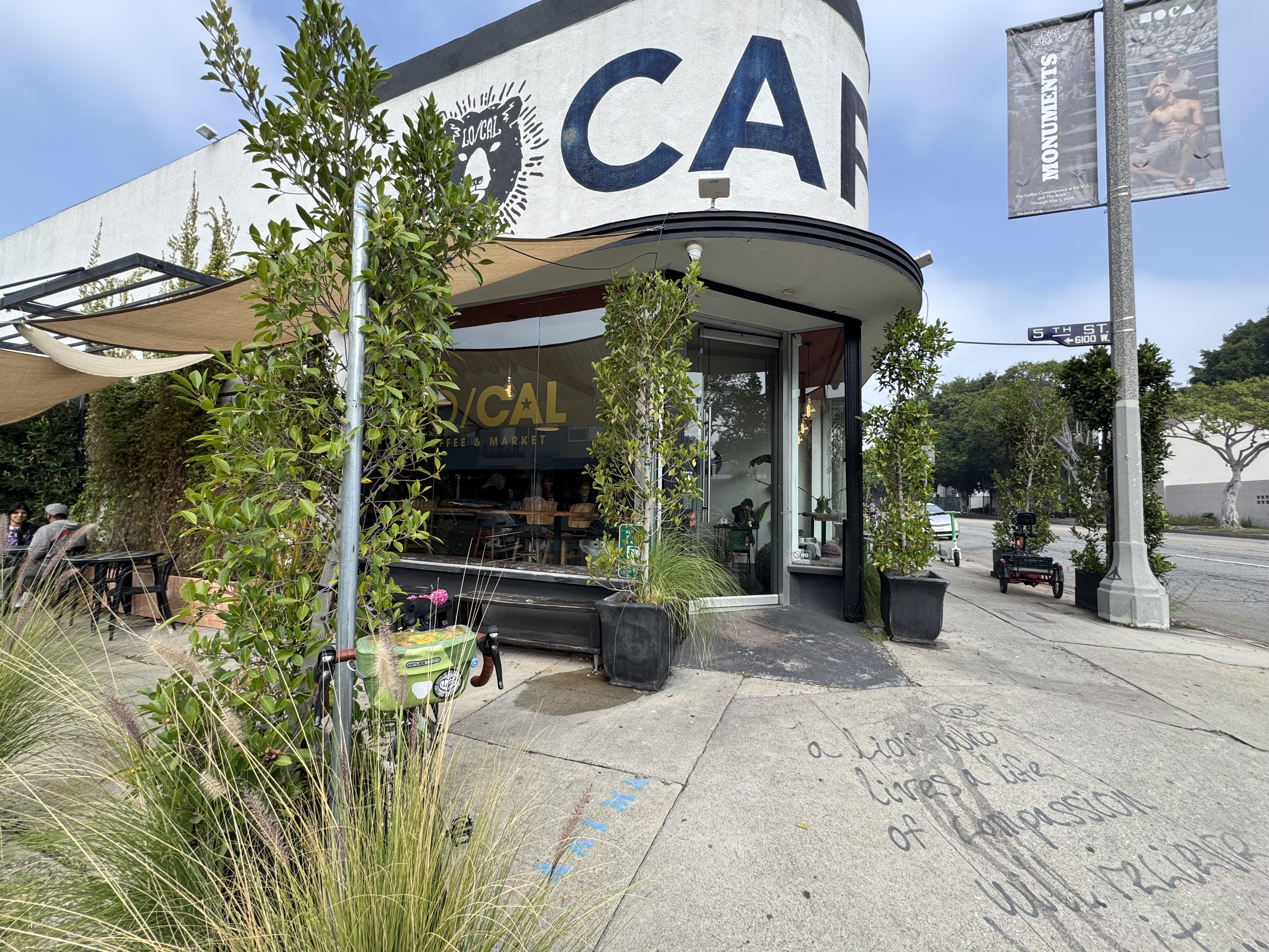
Control No. 8: 11/3/25 Lo/Cal in the Fairfax District (Los Angeles)
Beverage: Cafe au Lait with chocolate (+ sugar bun)
Bike: Volpe
Bloomers: Party Pants
C+1: Women on Bikes Culver City
Beauty: warm, dark wood gives place a cozy feel
Miles: 15.7
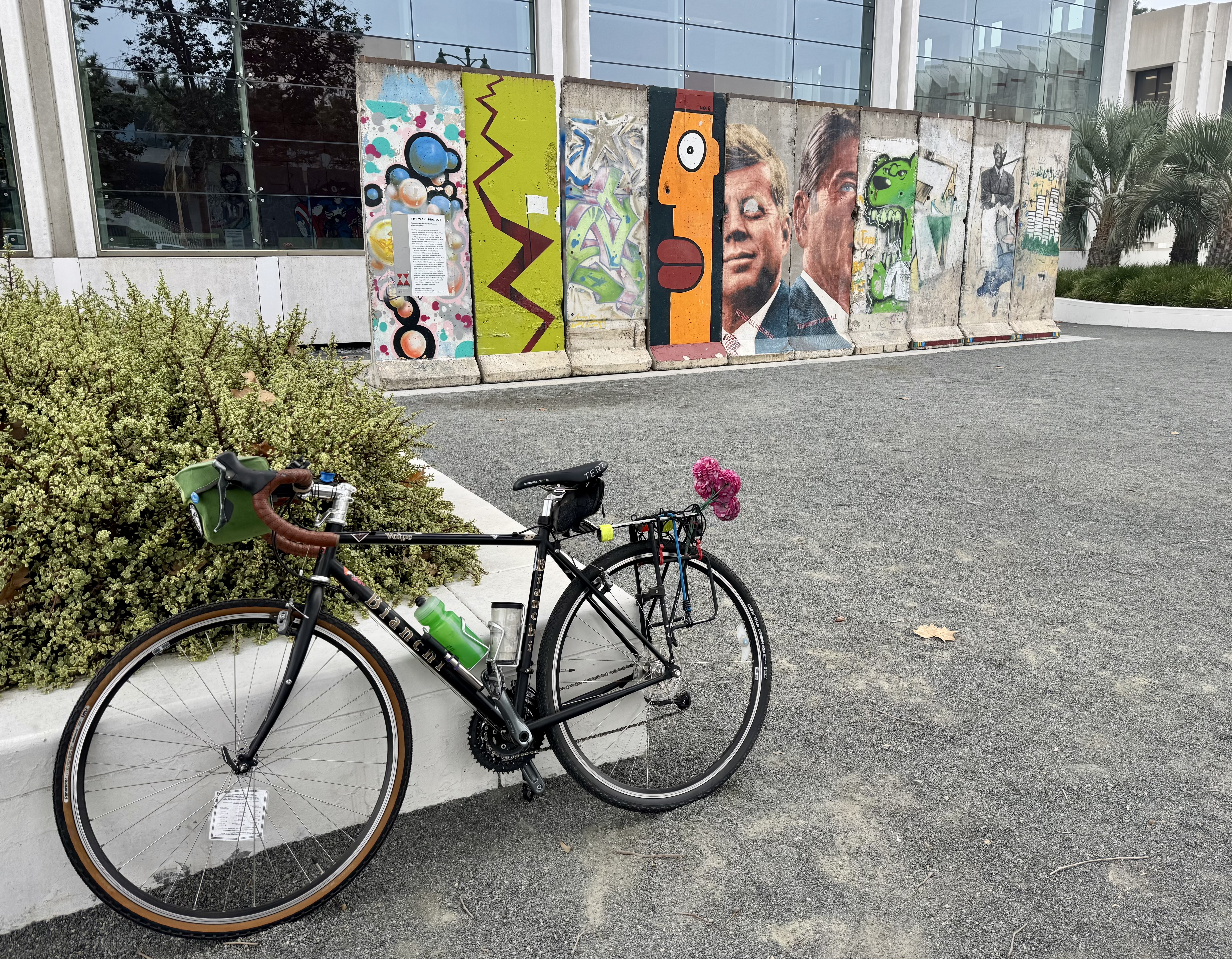
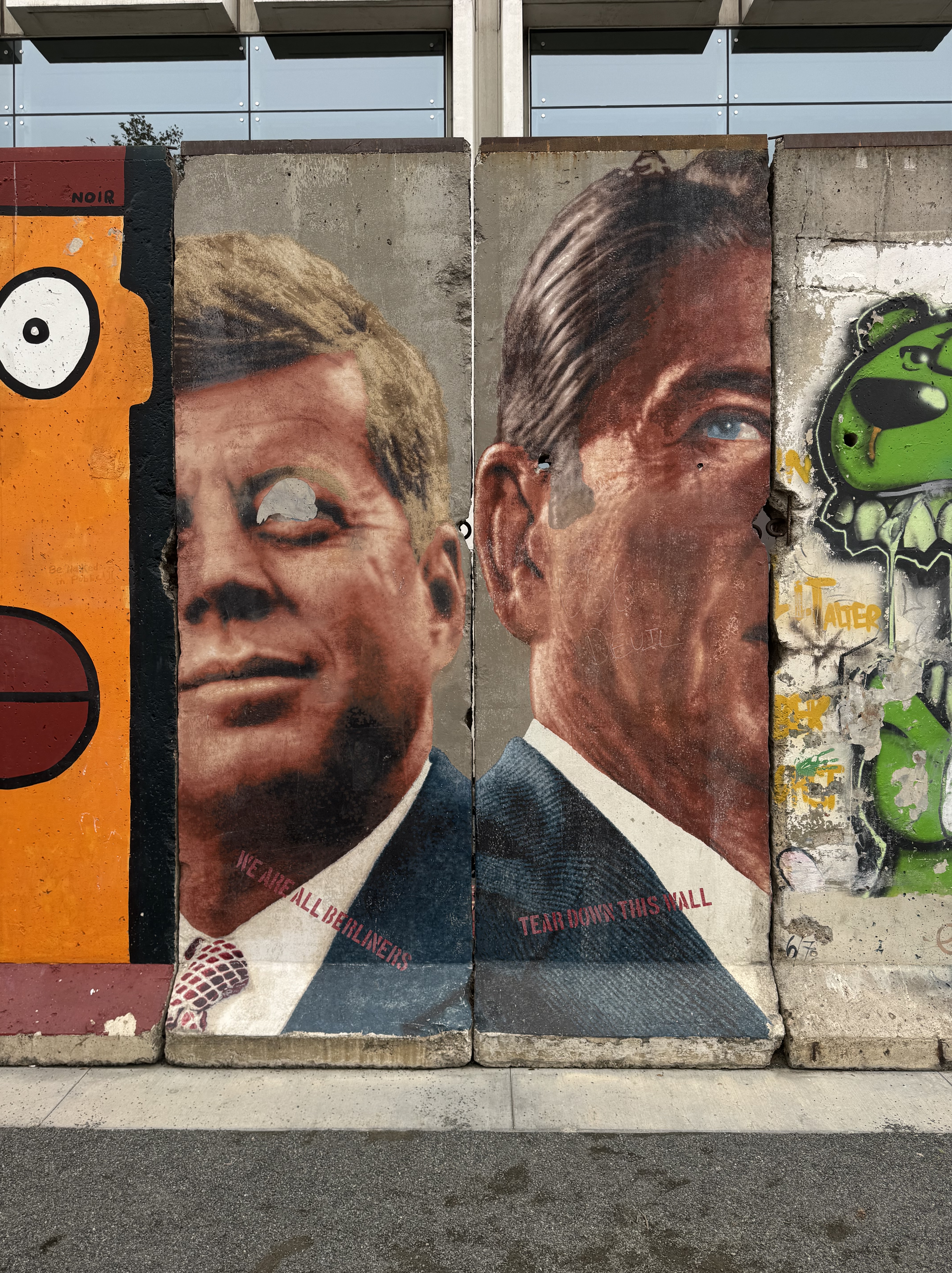
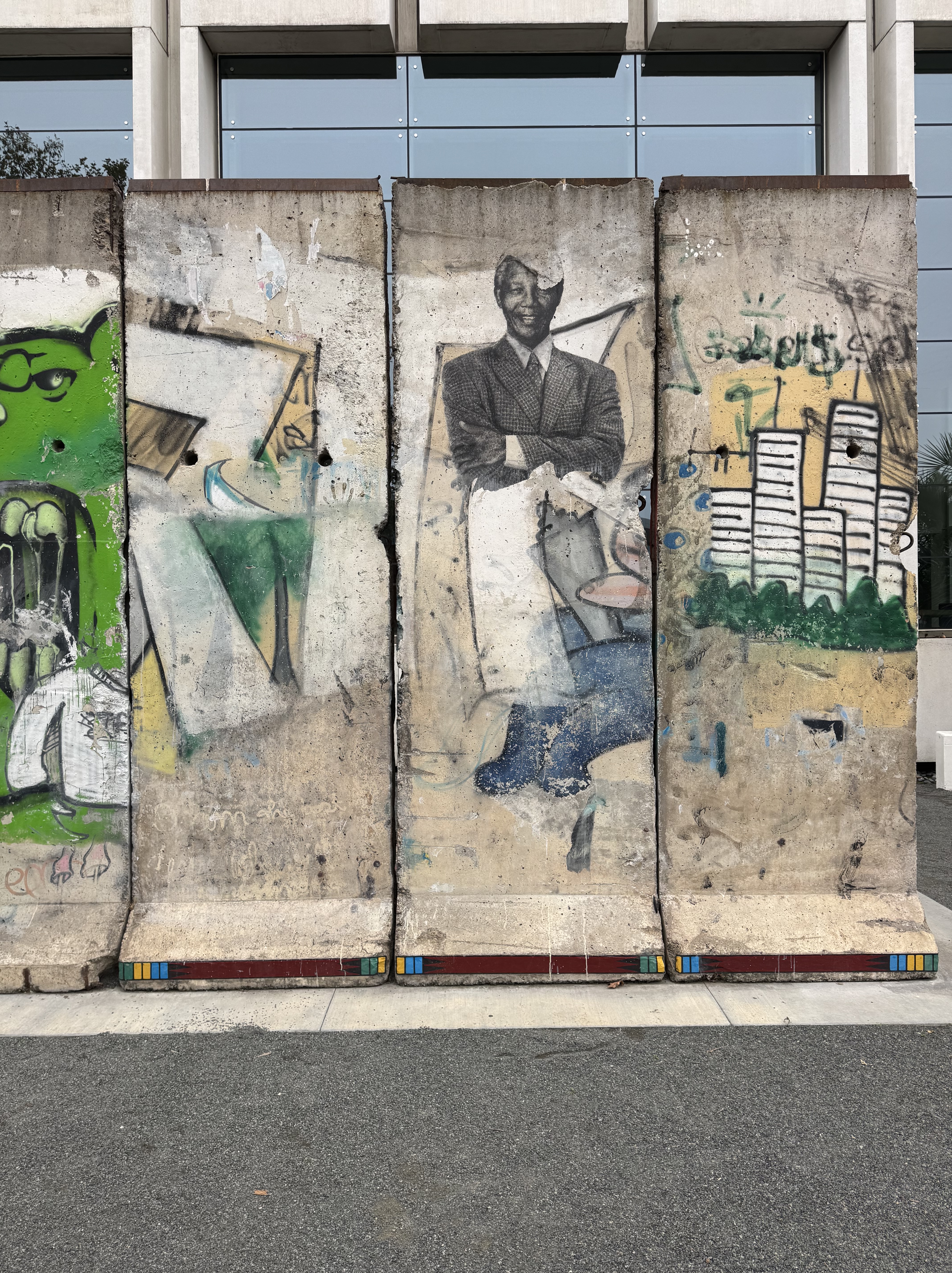
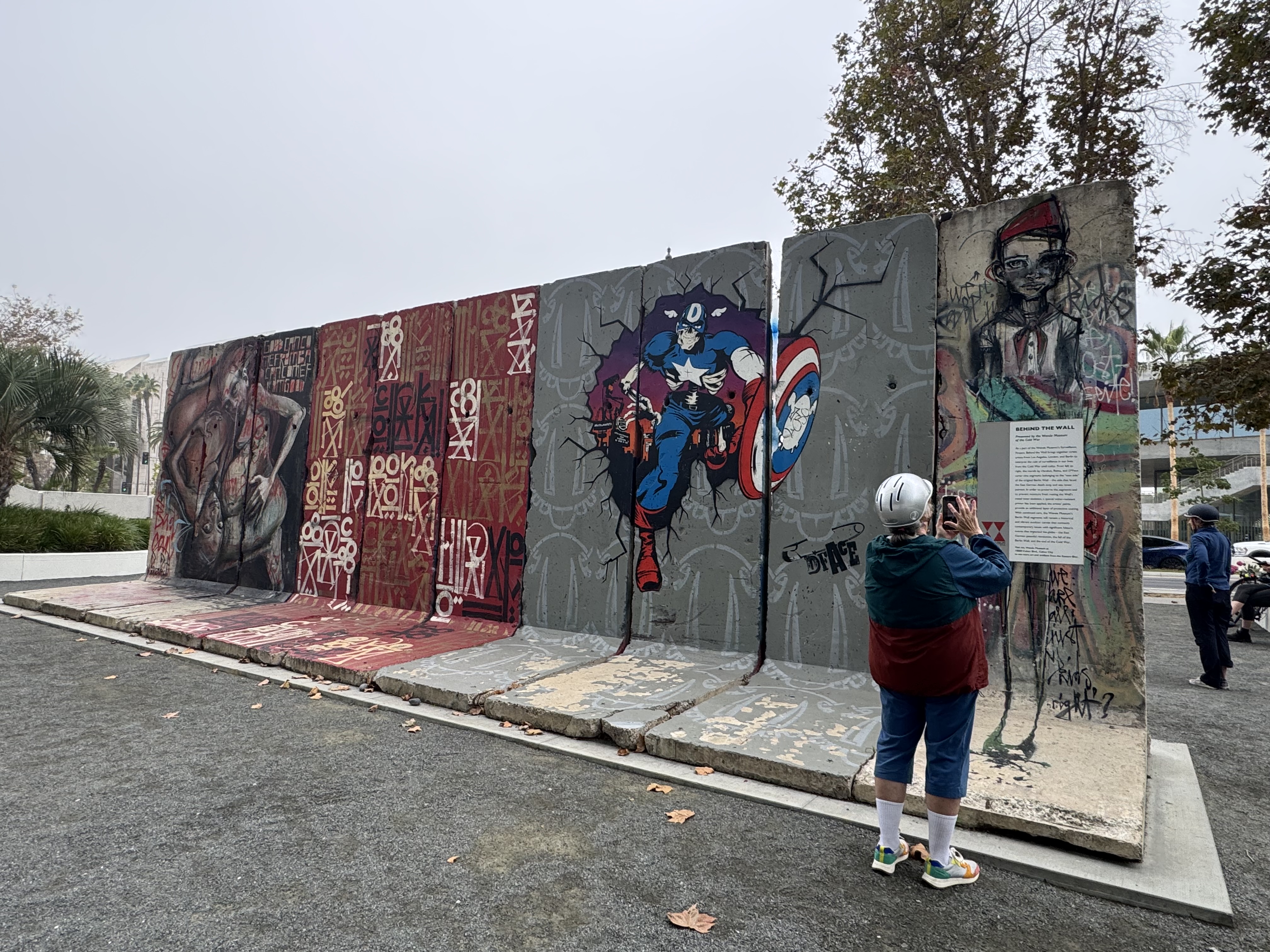
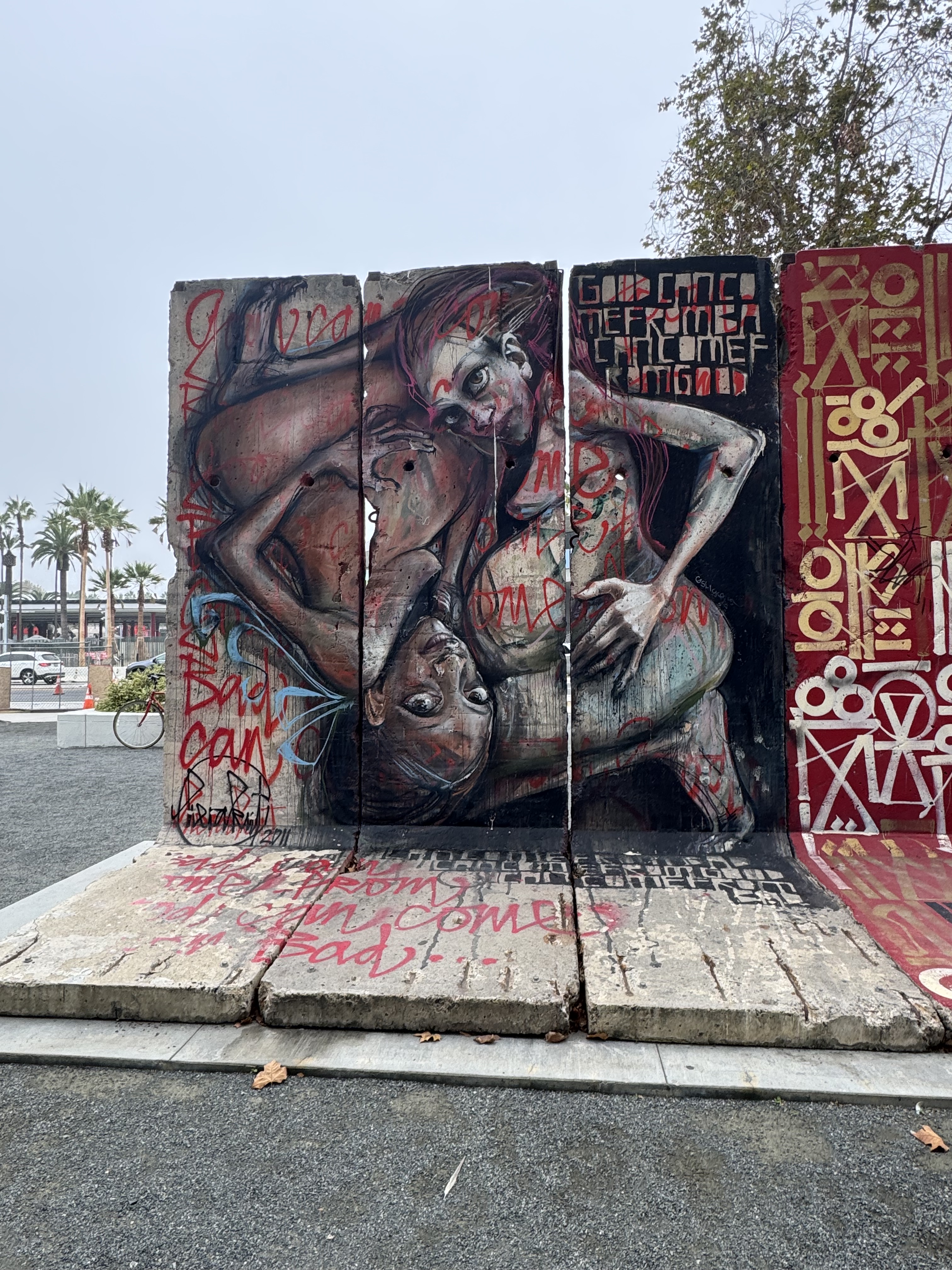
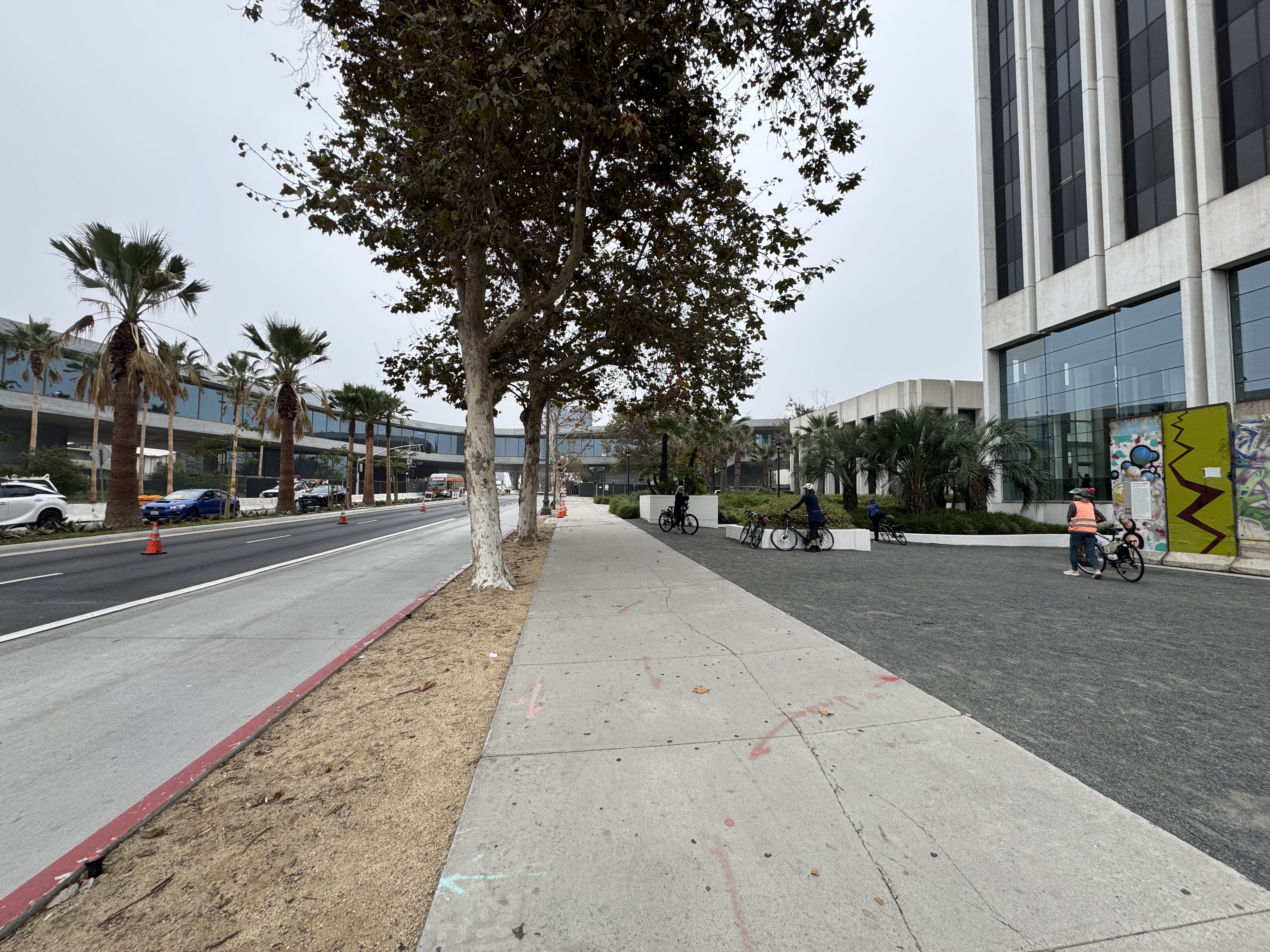
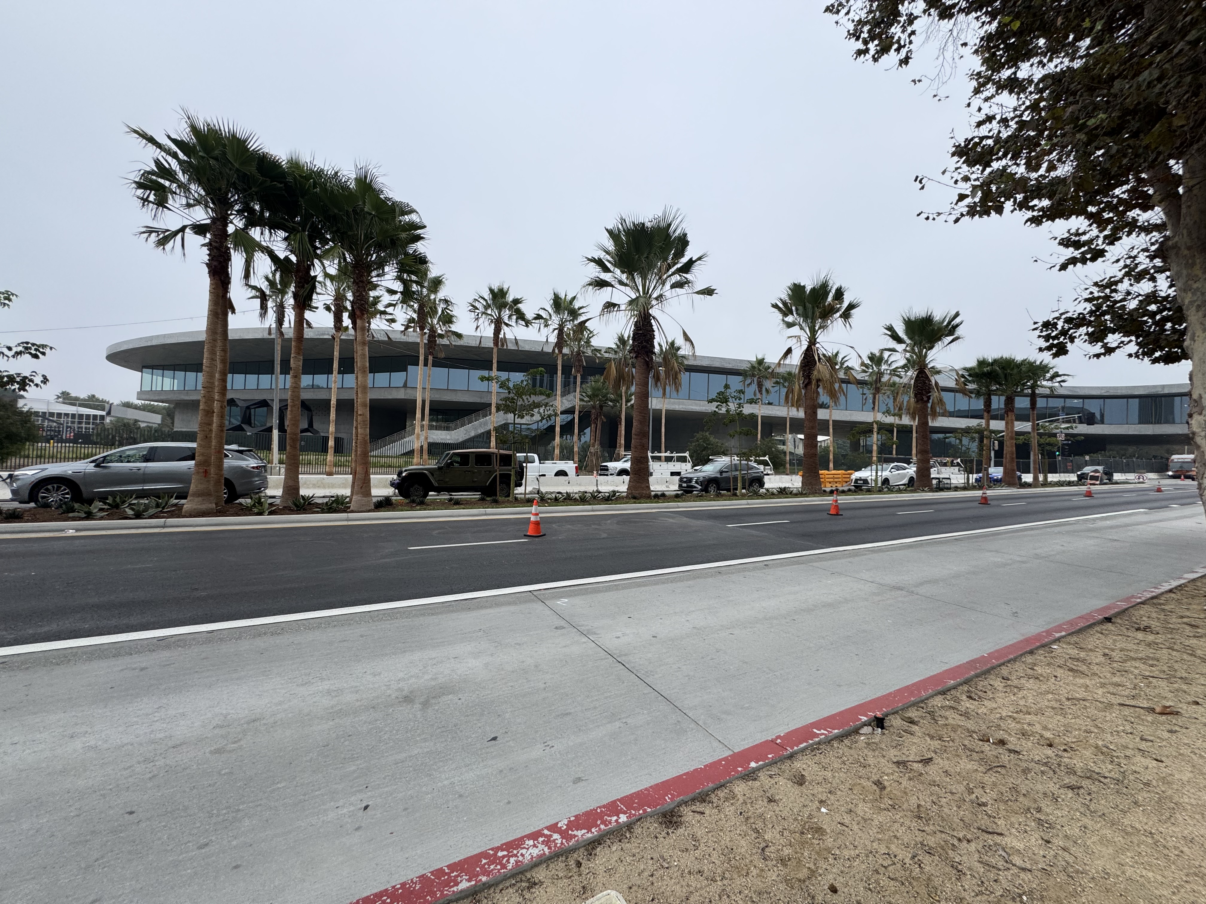
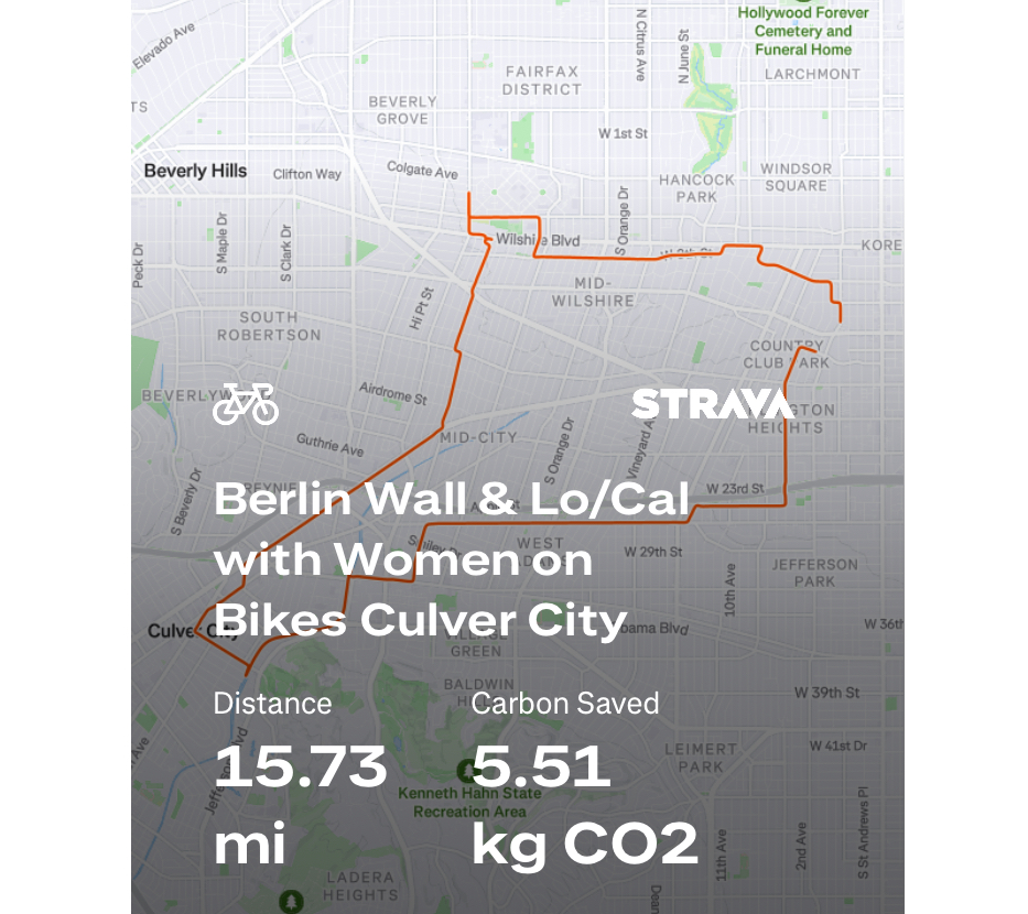
The very next morning after returning from our nation’s capital, the Women on Bikes Culver City group had a ride planned to swing by the pieces of the Berlin Wall on Wilshire Boulevard just across the street from the Los Angeles County Museum of Art (LACMA). I did not want to miss this outing, as I was curious to see the Berlin Wall pieces after having seen the East Side Gallery in Berlin the previous Summer. I was also interested in getting a glimpse of the ongoing construction of a fascinating addition to LACMA, which sweeps along and across Wilshire Boulevard, literally over the street. From there, the group rode over to Lo/Cal, a coffee shop with a very warm and inviting interior. I had a cafe au lait (again, but this time with chocolate added in) and a scrumptious sugar bun.
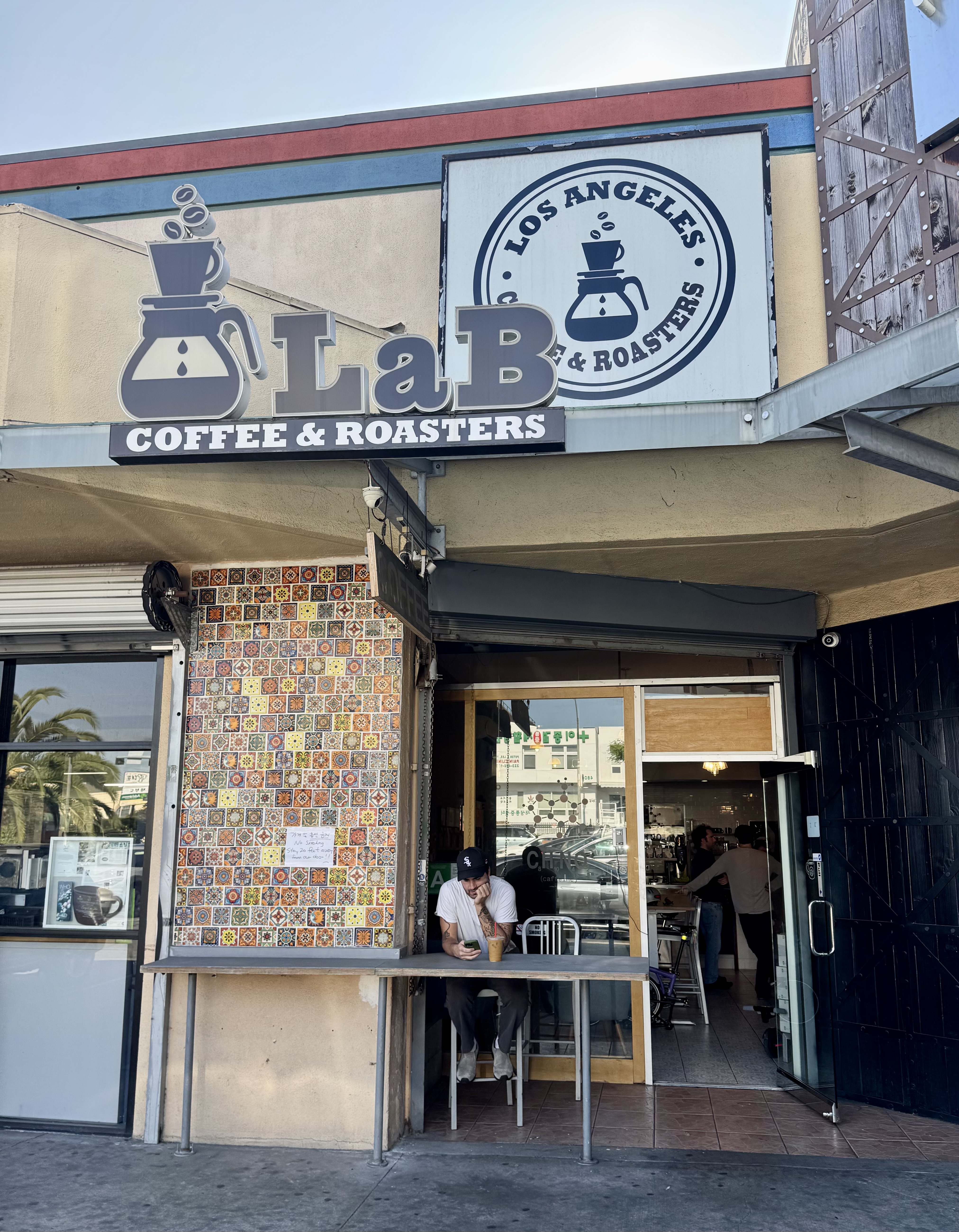
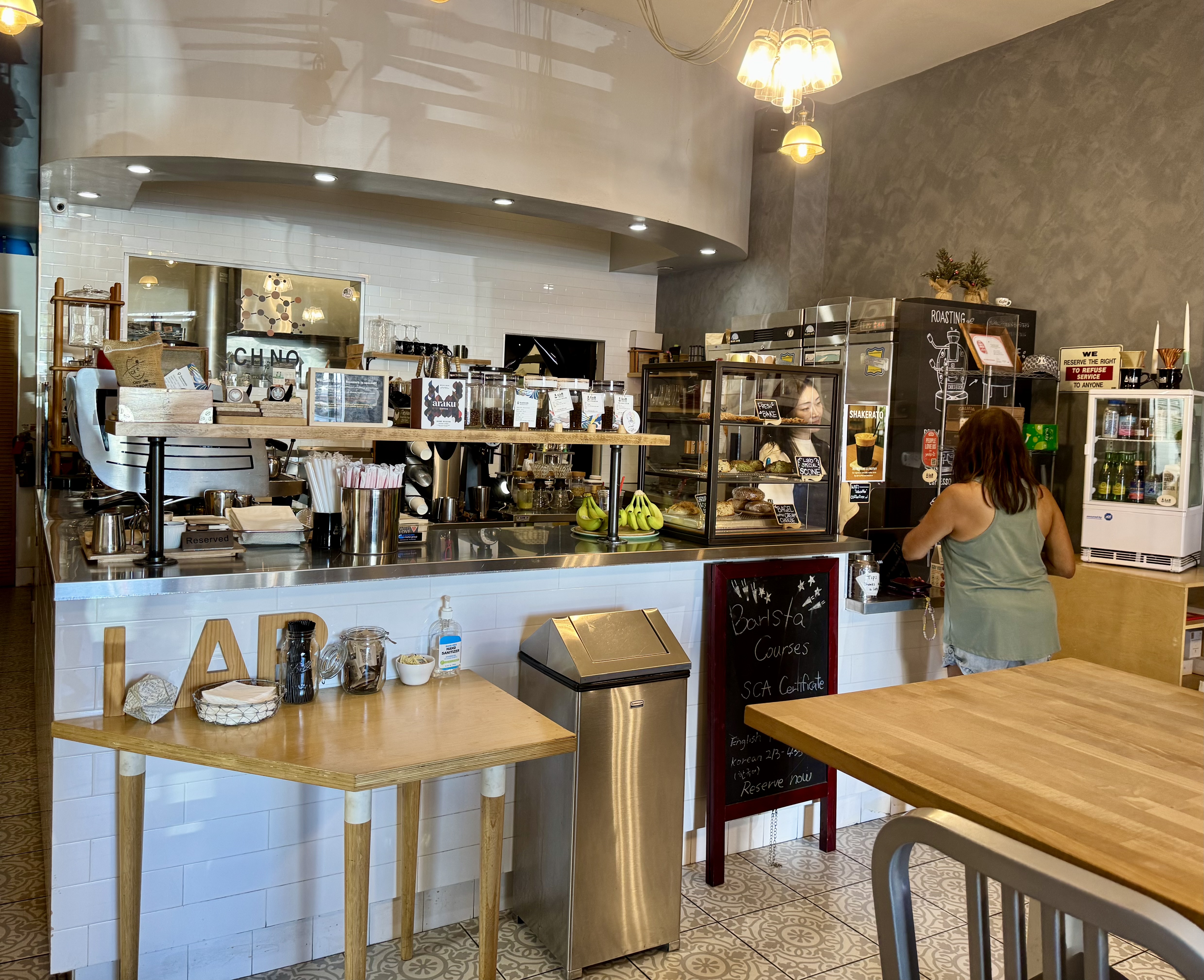
Control No. 9: 11/7/25 Lab Coffee & Roasters (Los Angeles)
Beverage: Spanish Latte
Bike: Brompton
Bloomers: Dazzling Amethyst Jeweltone Bloomers
C+1: Joni
Beauty: MONUMENTS Exhibits
Miles: 15
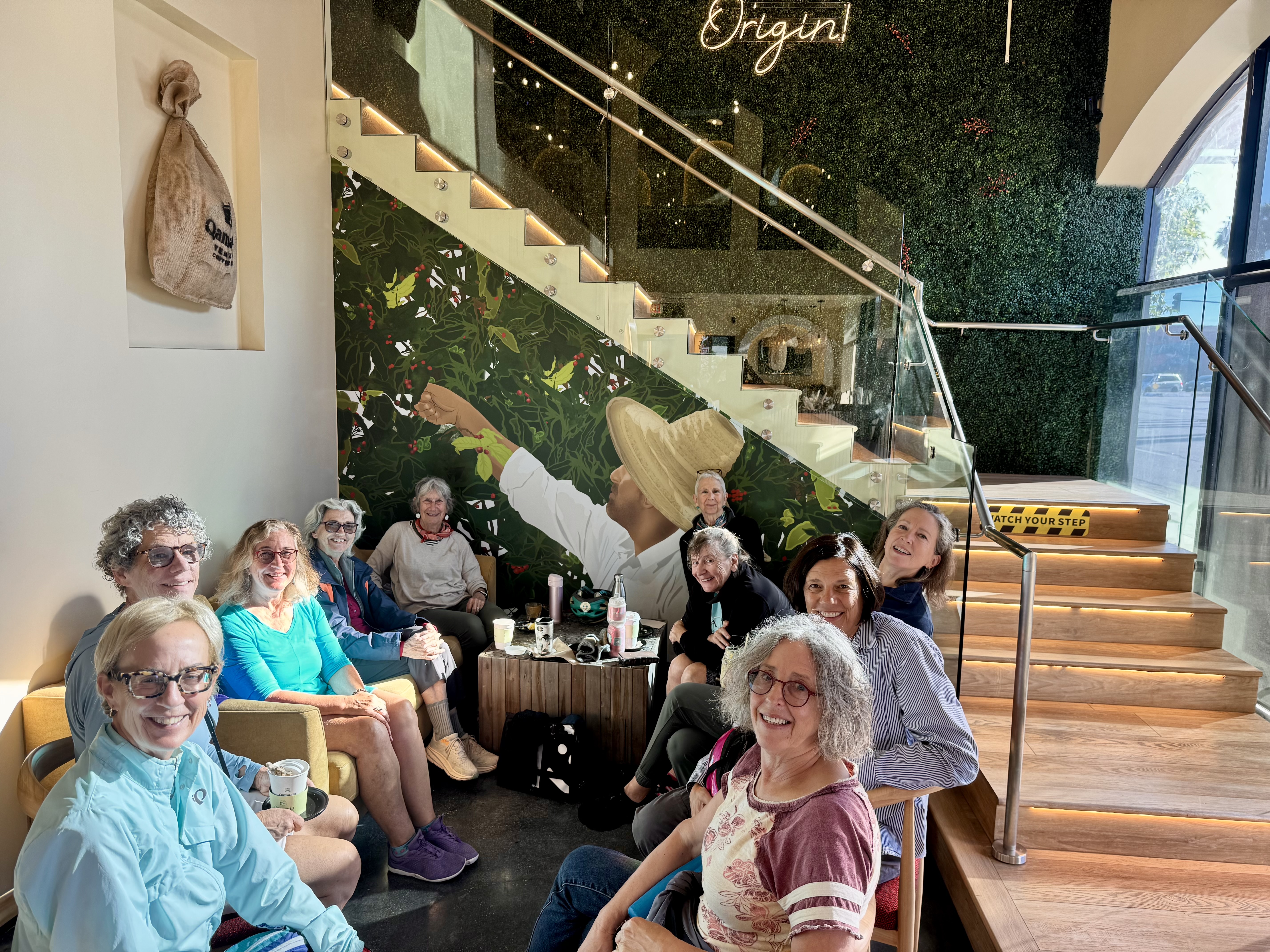
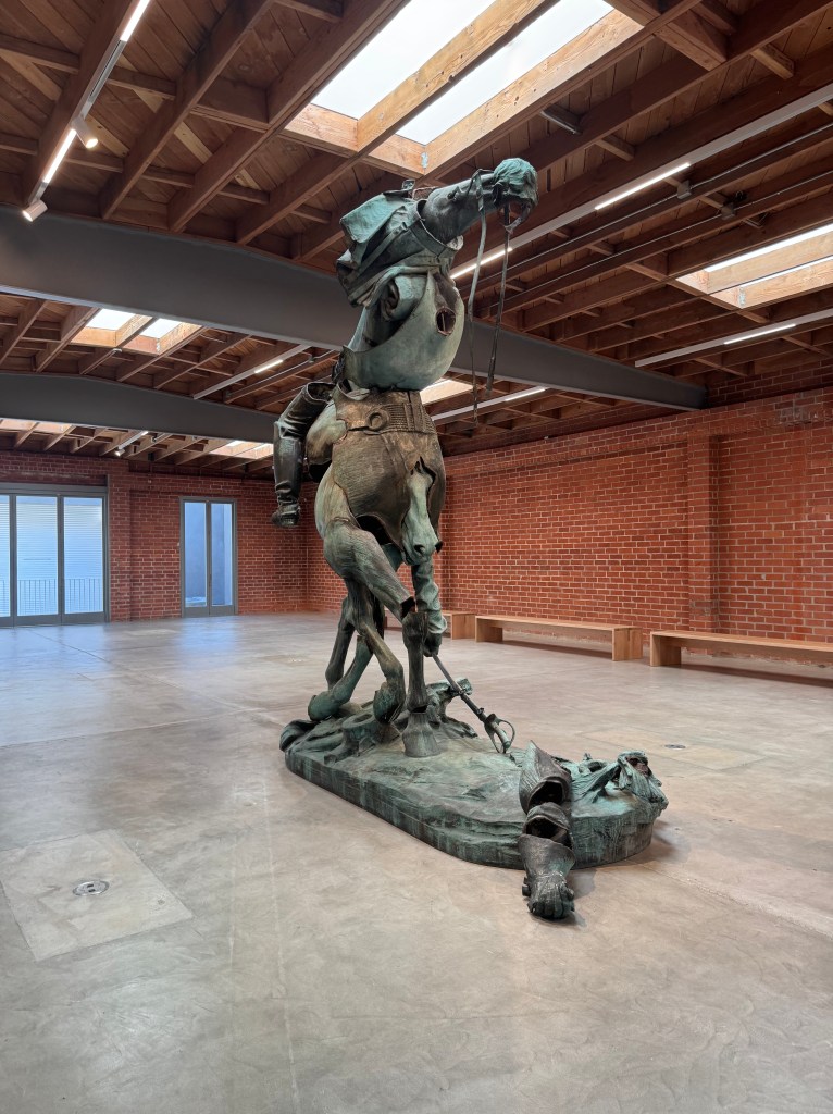
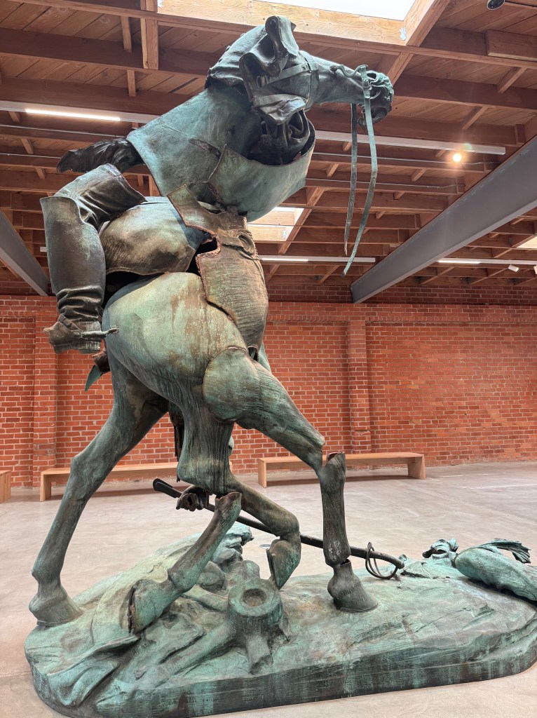
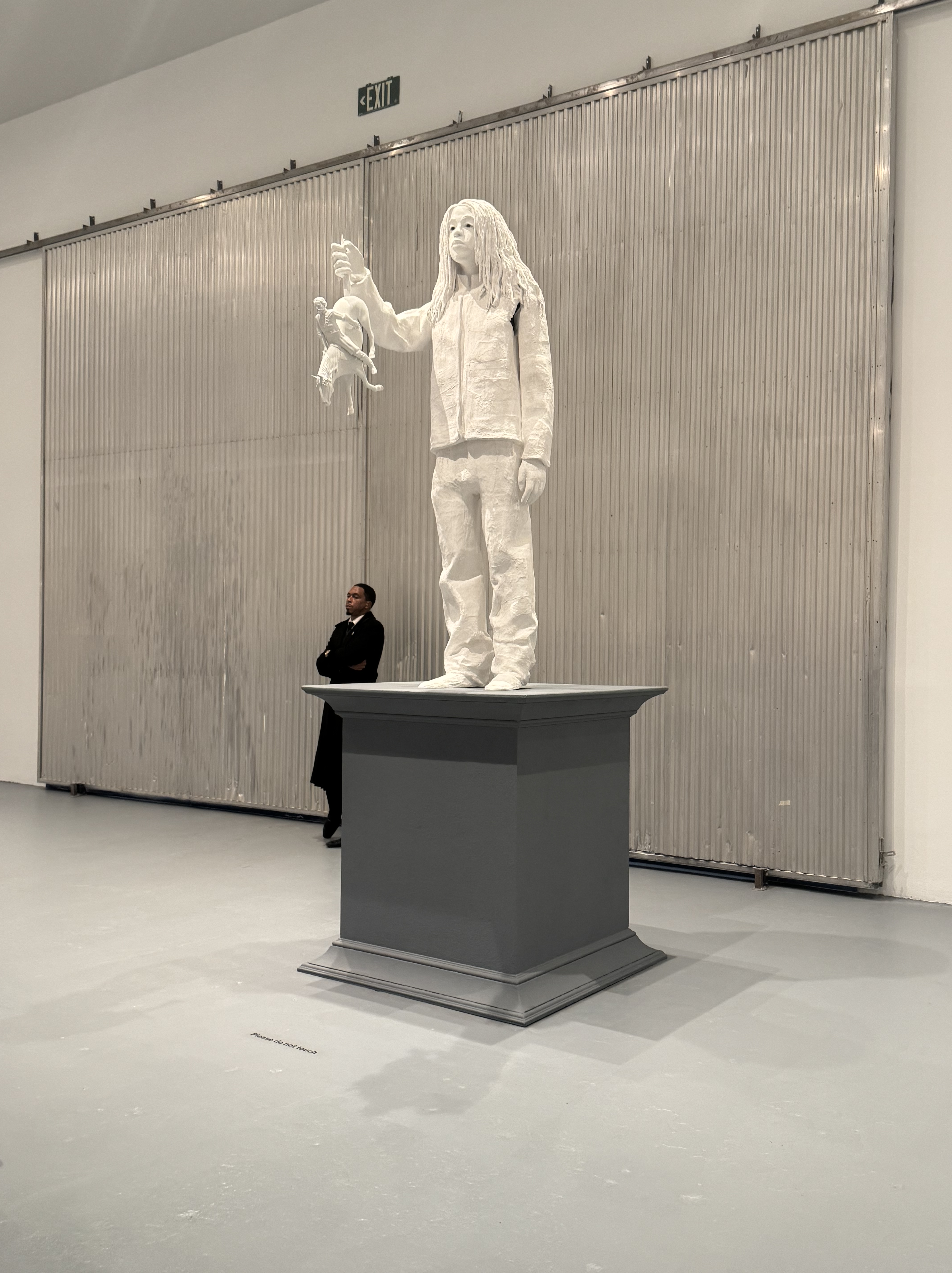
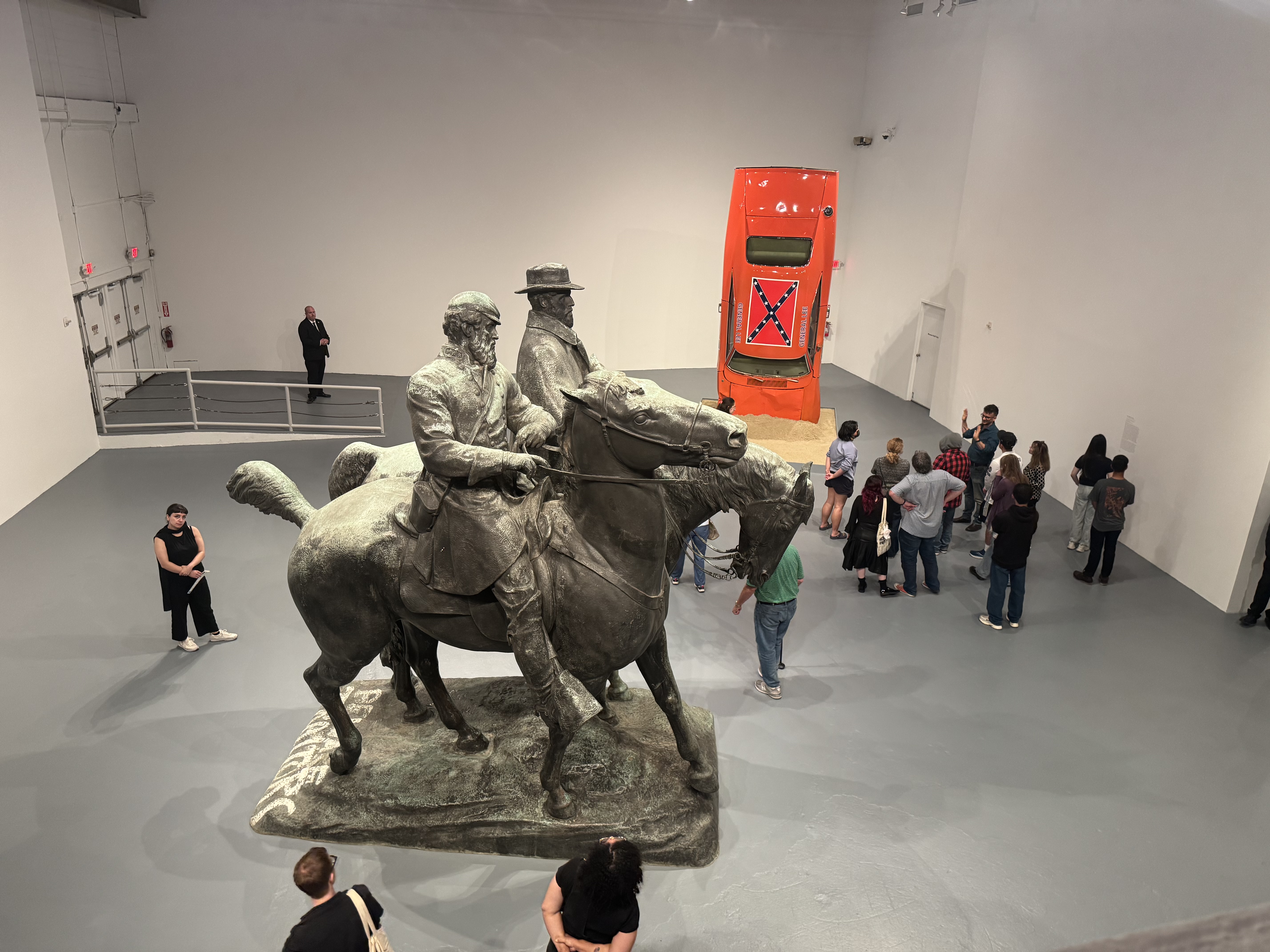
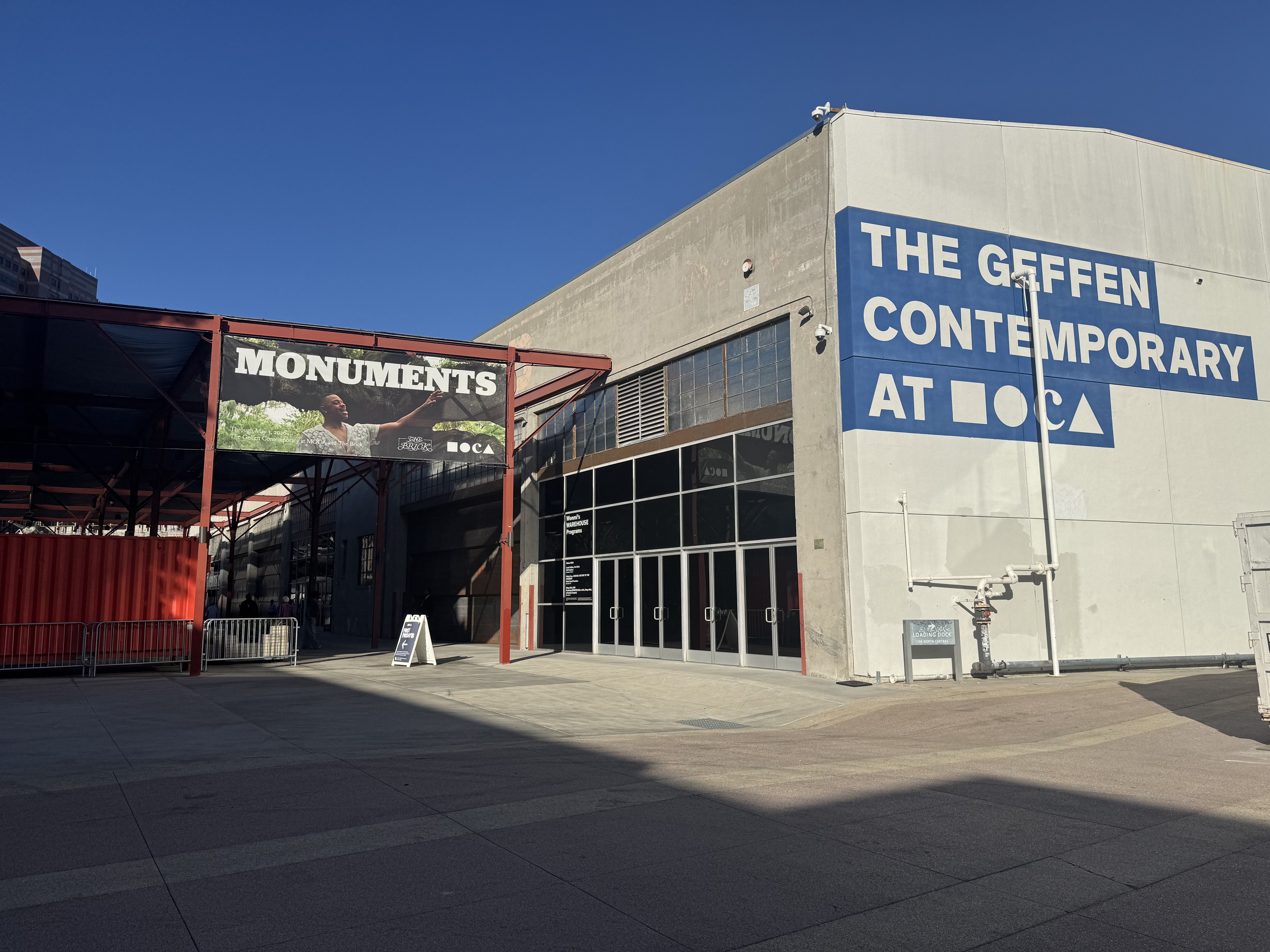
The following Friday was free day at the Museum of Contemporary Art (MOCA), and my friend Joni had alerted me that she had reserved a spot to see the new MONUMENTS exhibit showing at two locations, one of which is not far from where I live. So I reserved a spot to join her. The first stop was a smaller museum, The Brick, whose exhibit features the Charles Keck’s 1921 sculpture of Stonewall Jackson riding his mount Little Sorel. The piece is titled “Unmanned Drone” by Kara Walker, who took the statue apart and reimagined it in a rather gruesome spectacle. The large, powerful piece is appropriately given nearly the entire exhibit area. Just a few related pieces are on display in an adjacent patio area.


Our reservations were spaced apart, one at 11 AM and the other at 1 PM, so we had time for a coffee run before heading downtown. Joni led us to nearby Lab Coffee & Roasters, an interesting coffee shop with an adjacent teaching space for those wanting to learn how to roast coffee. I had a tasty Spanish Latte, and enjoyed browsing the shop’s interesting display of wares and awards, as well as peeking into the teaching lab next door.
On we went into downtown to the main MOCA location, where a very friendly and helpful security guard guided us to the best place to lock up our bikes. We then walked over to the entrance, where another friendly and helpful person explained to us that the MONUMENTS exhibit was at the MOCA Geffen Contemporary in Little Tokyo. So we retrieved our bikes and rode to Little Tokyo. There, we did feel the outdoor bike parking was not sufficiently secure, so we rolled our Bromptons into the museum where we were allowed to fold them up and leave them with the coat and bag check. The folks at the security desk where we scanned our bags as we entered insisted that I leave my 3-way allen wrench at the security desk, as it was apparently considered a dangerous object. I was nervous that I might forget it when we went to leave, but during the retrieval of our bikes, it was easy to remember to go get the wrench.
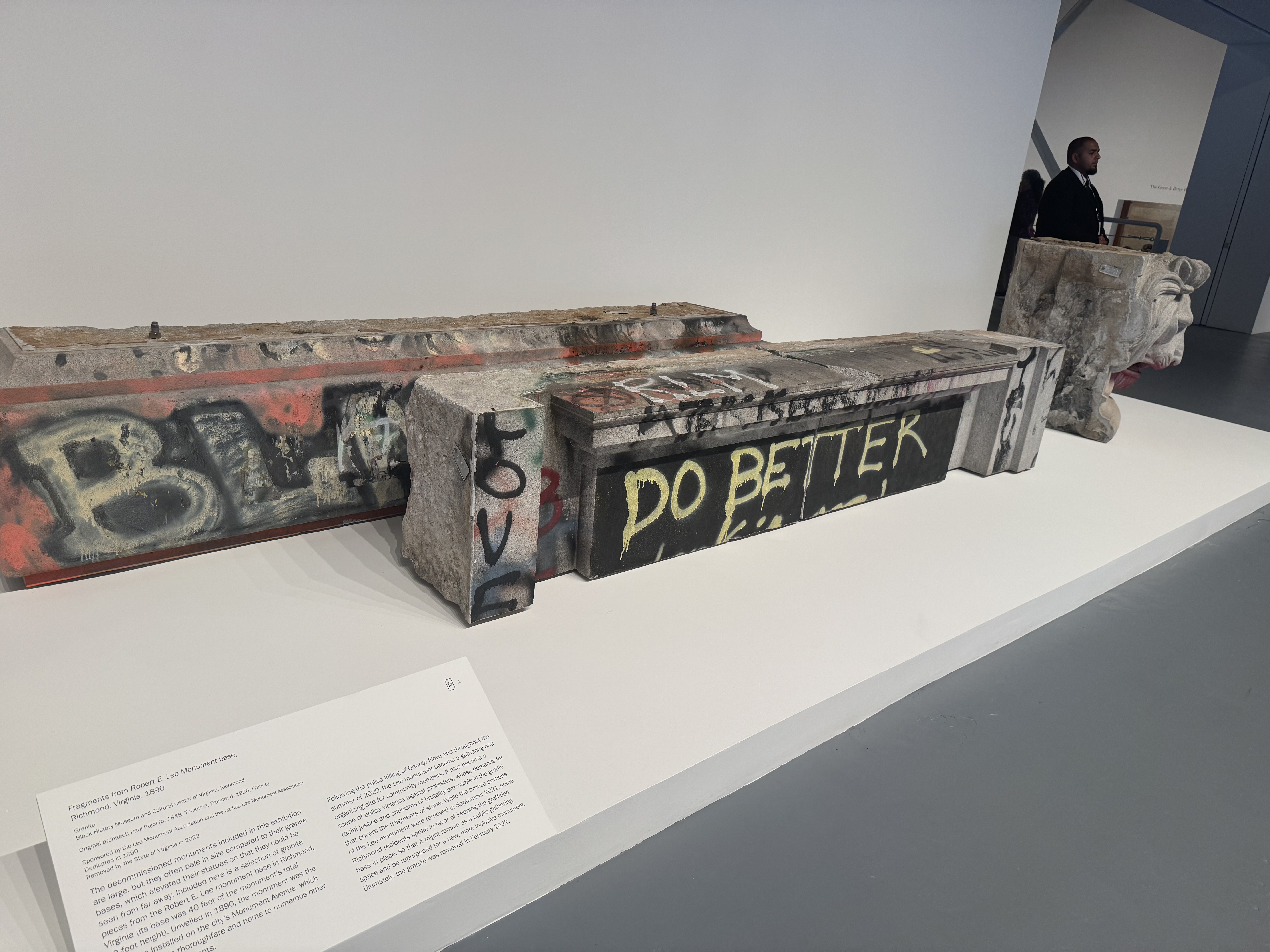
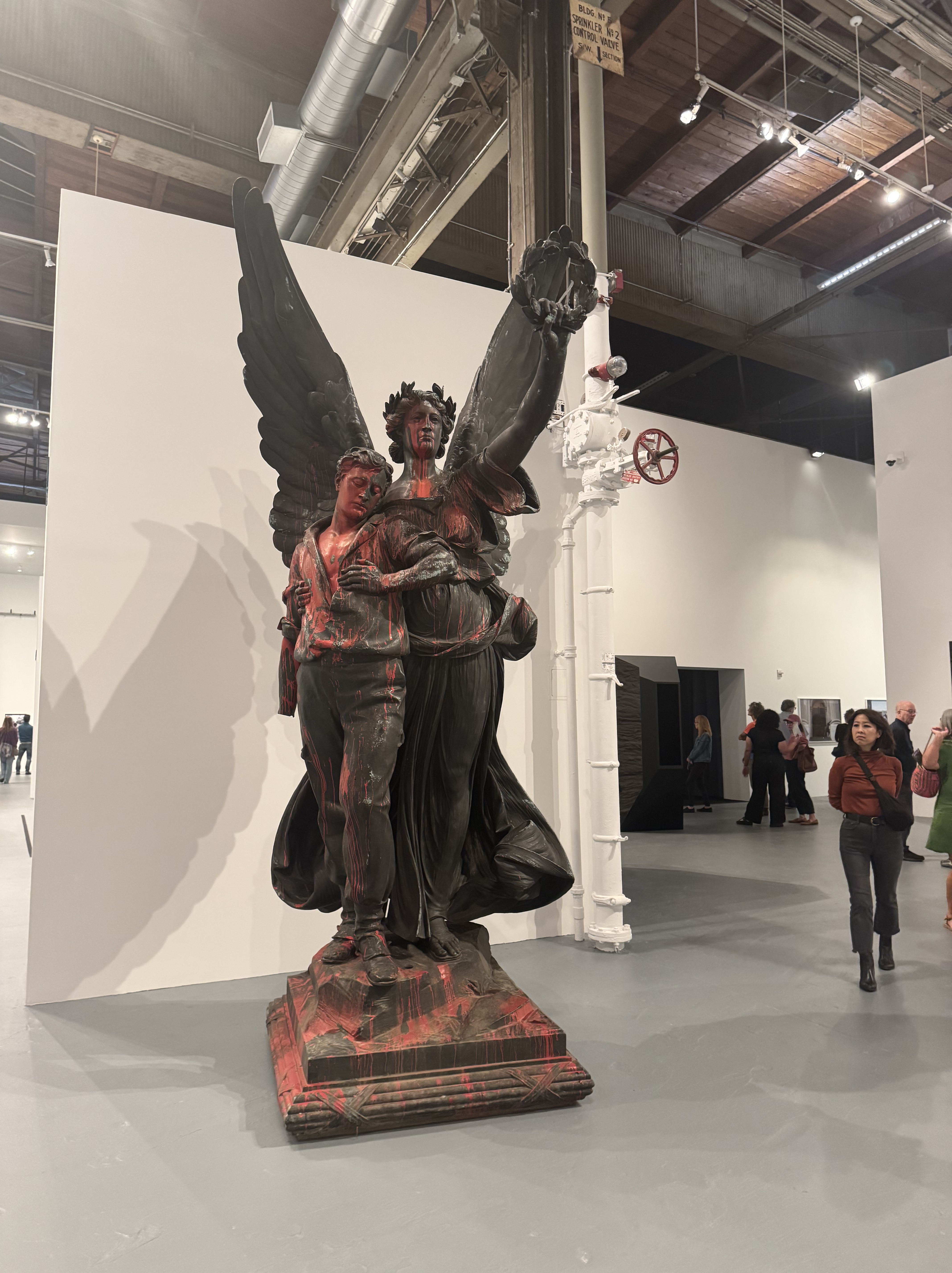
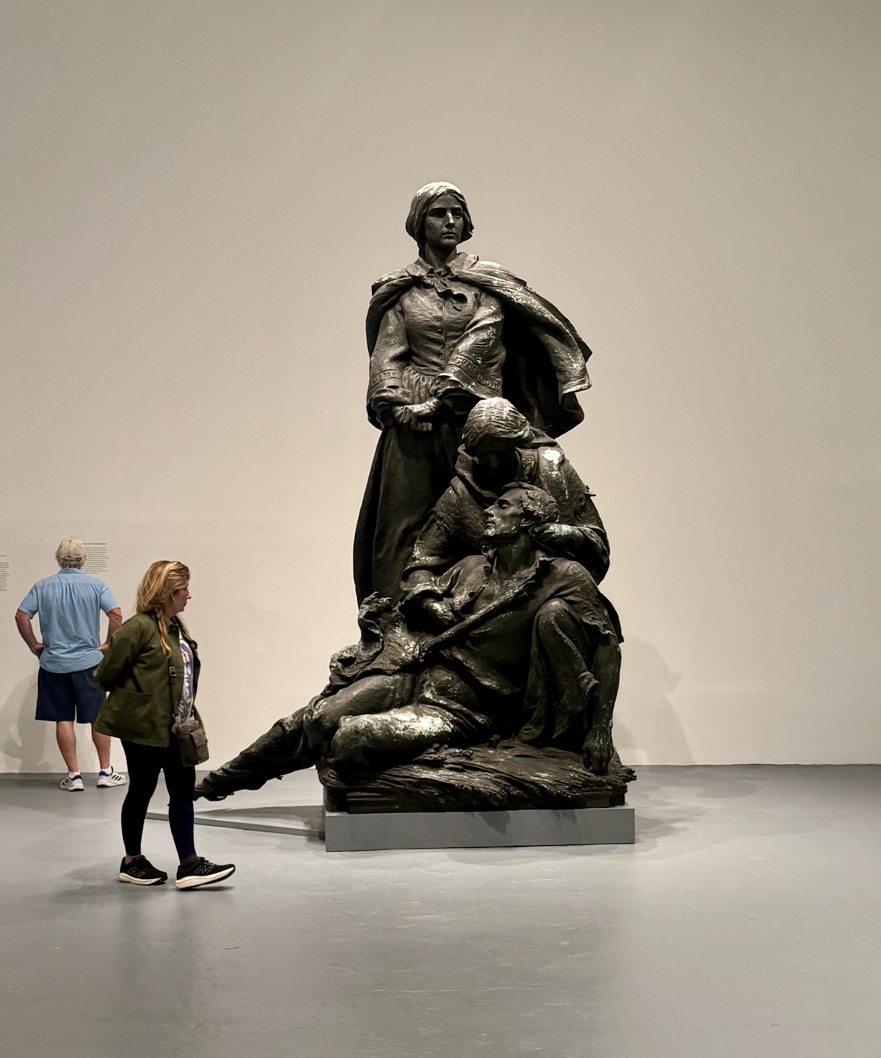
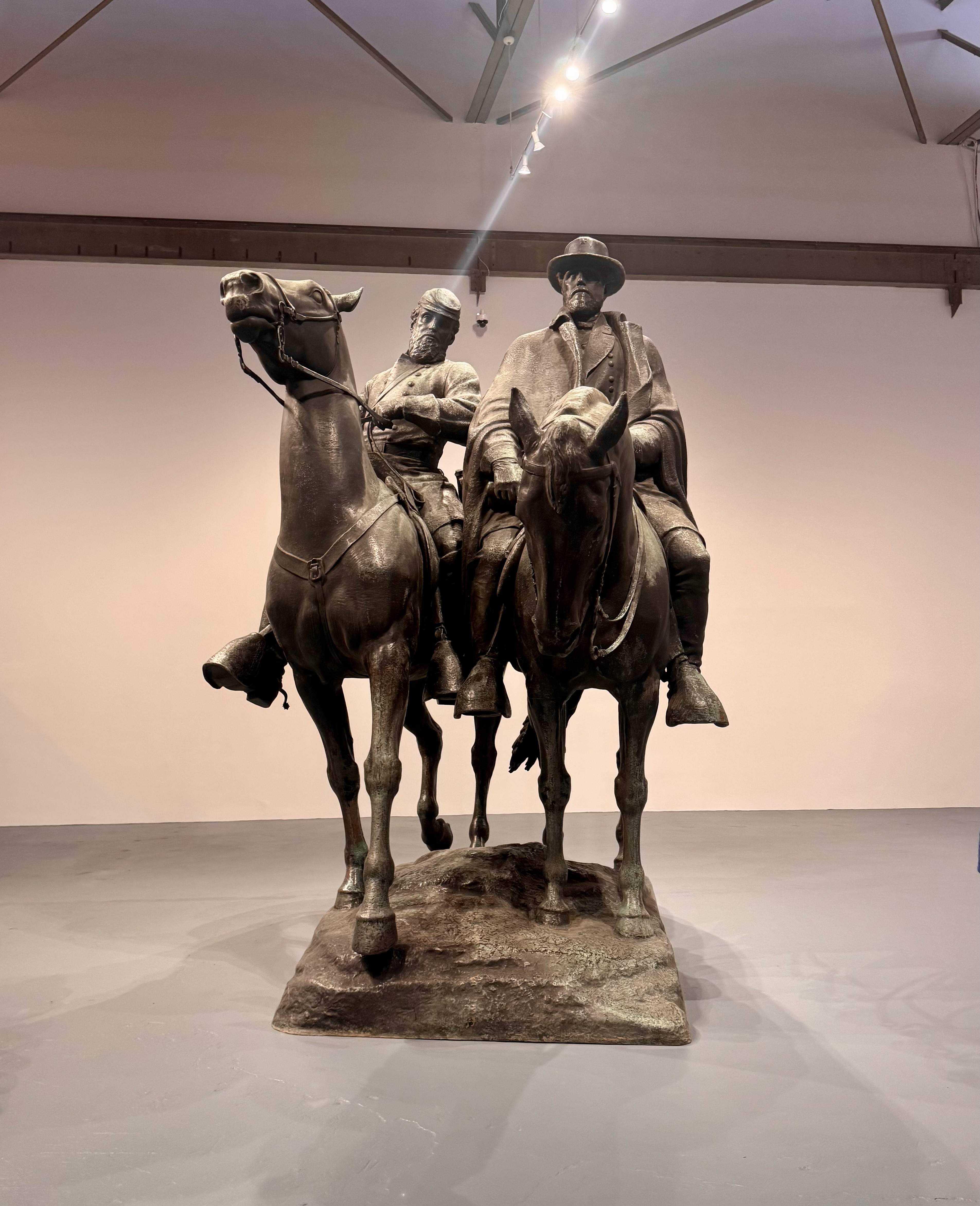
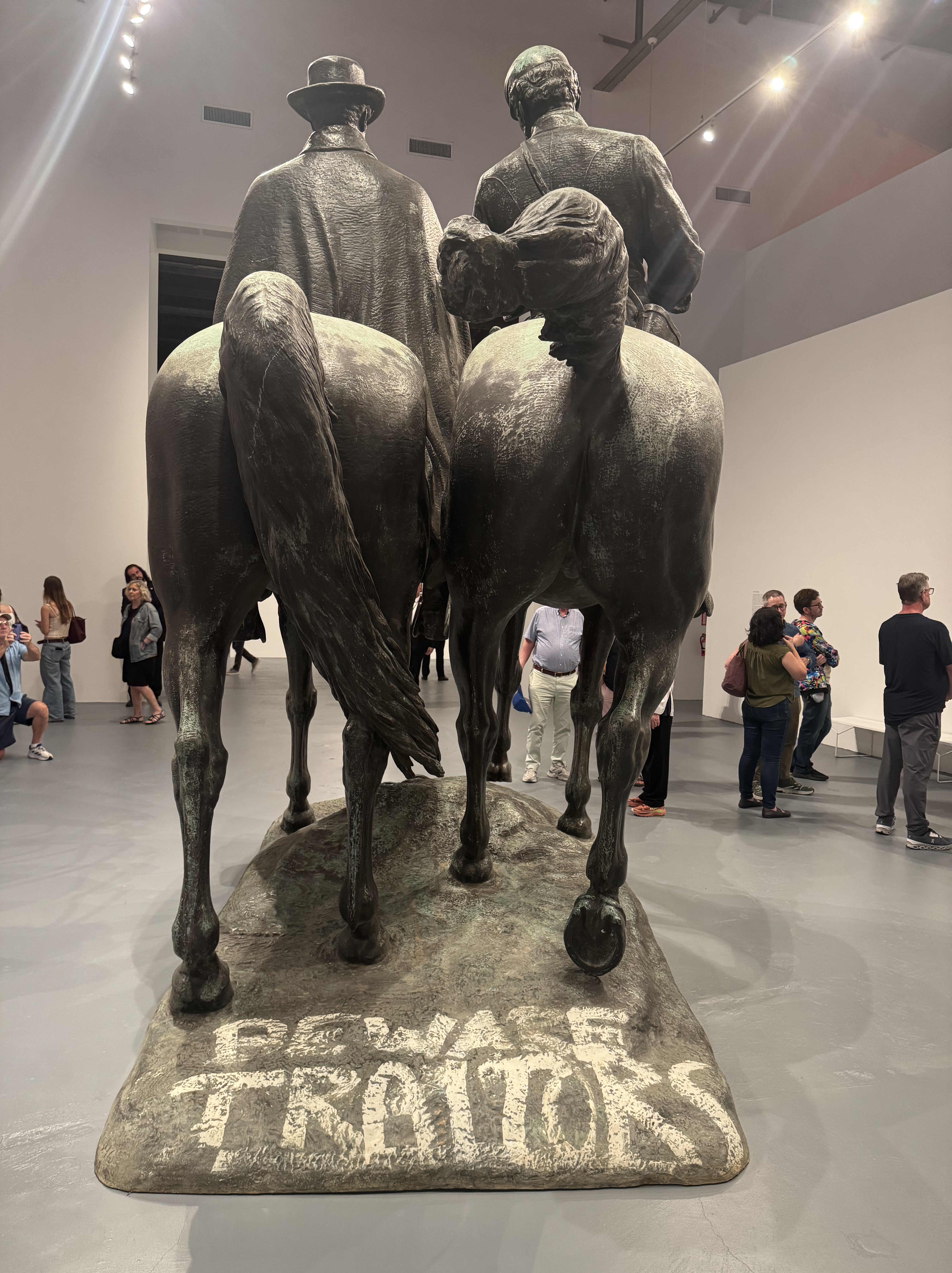
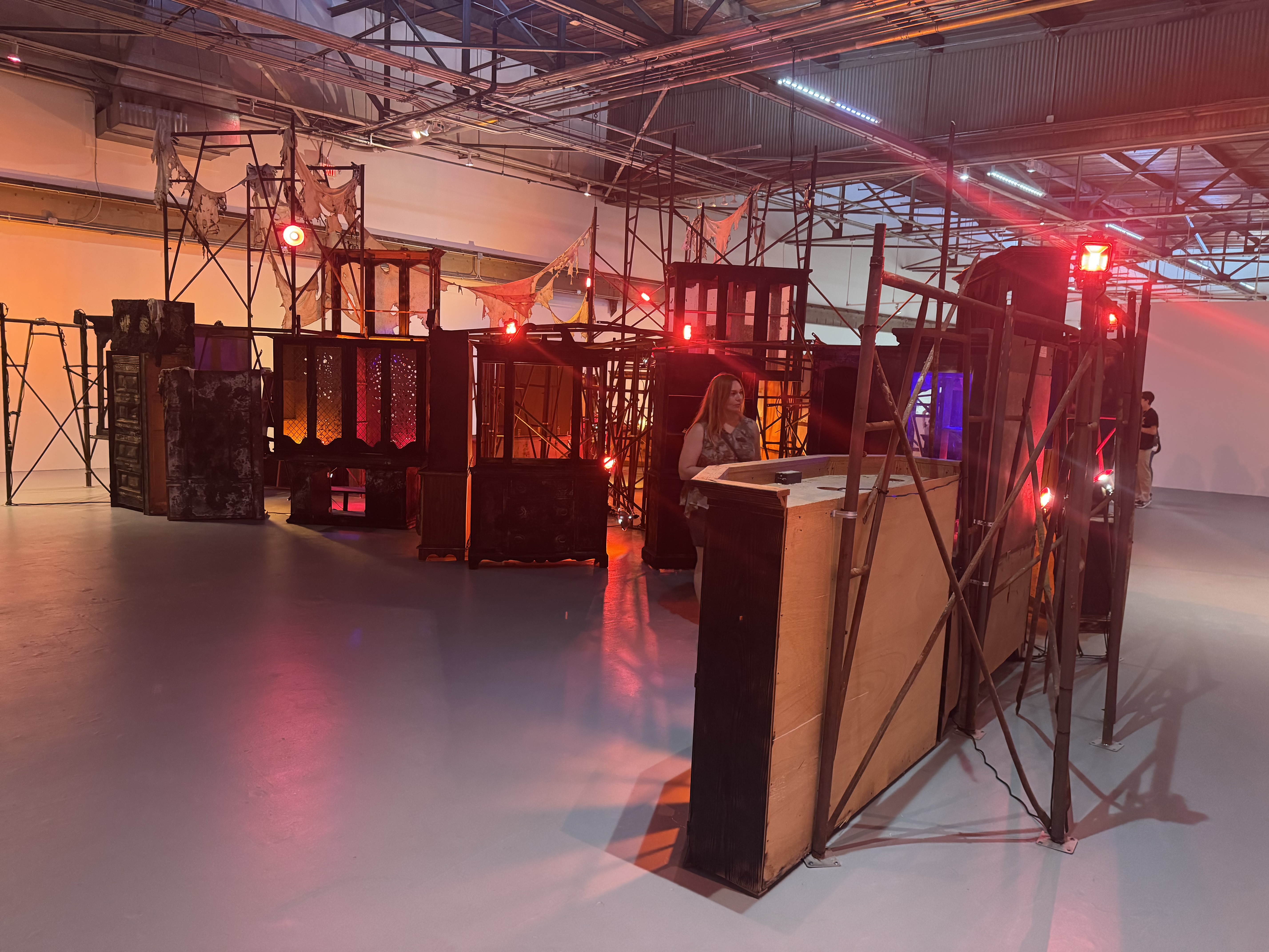
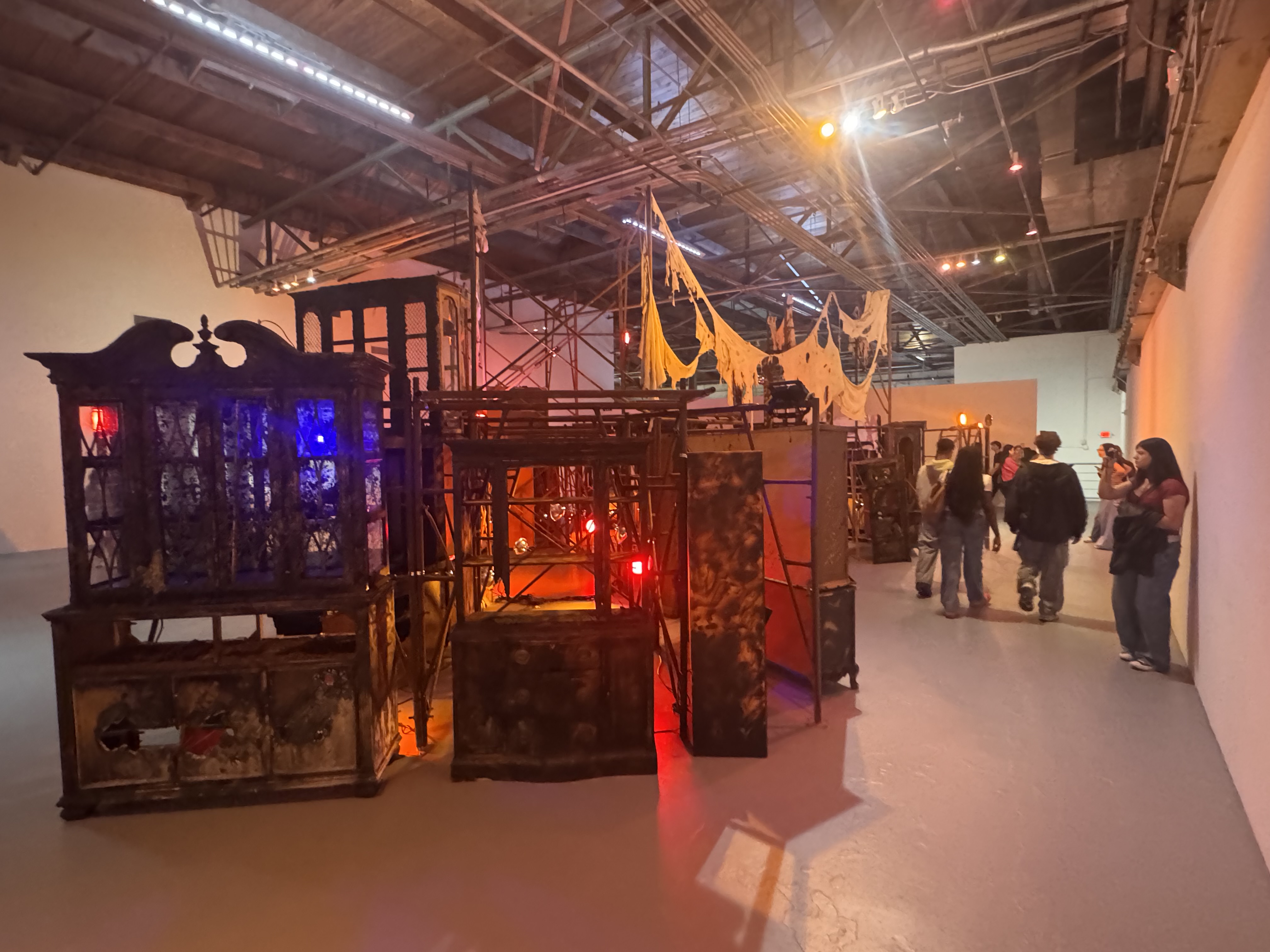
The exhibit was extraordinary. To see these monuments in person and inside a museum with other people milling about makes the huge size and power of these pieces apparent. It was astonishing to read the stories of how and why these monuments were brought into existence and the important message of taking them down, re-imagining them, and re-writing the narrative. Rather than attempt to characterize the exhibit, I recommend the comments I found here from a UVA professor and historian.
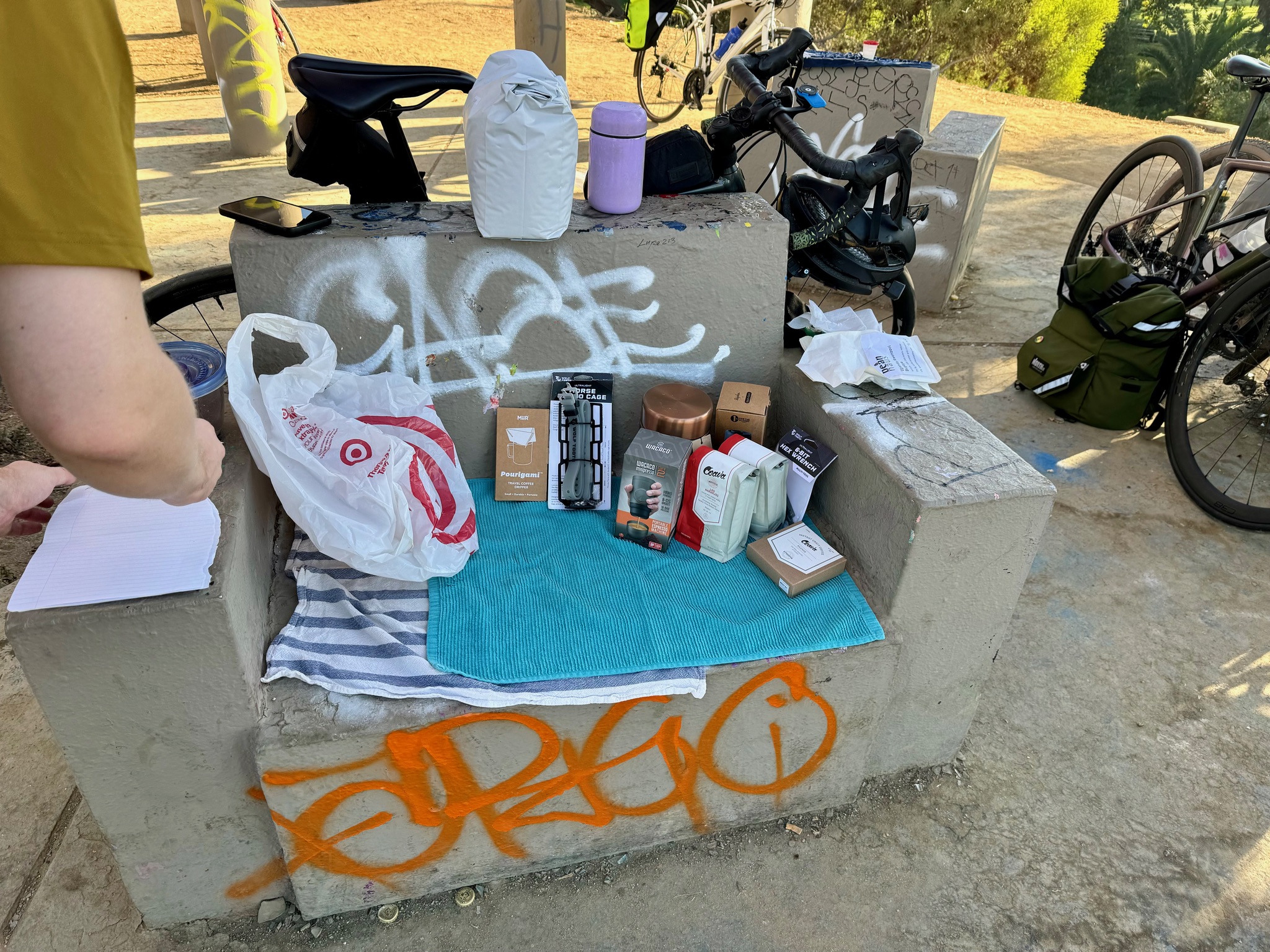
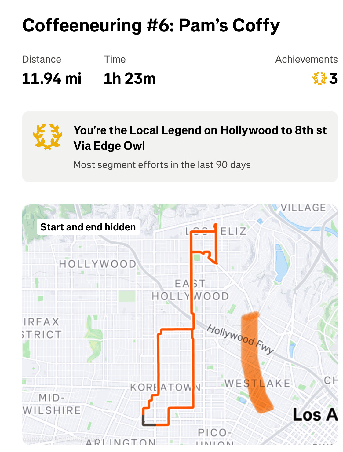
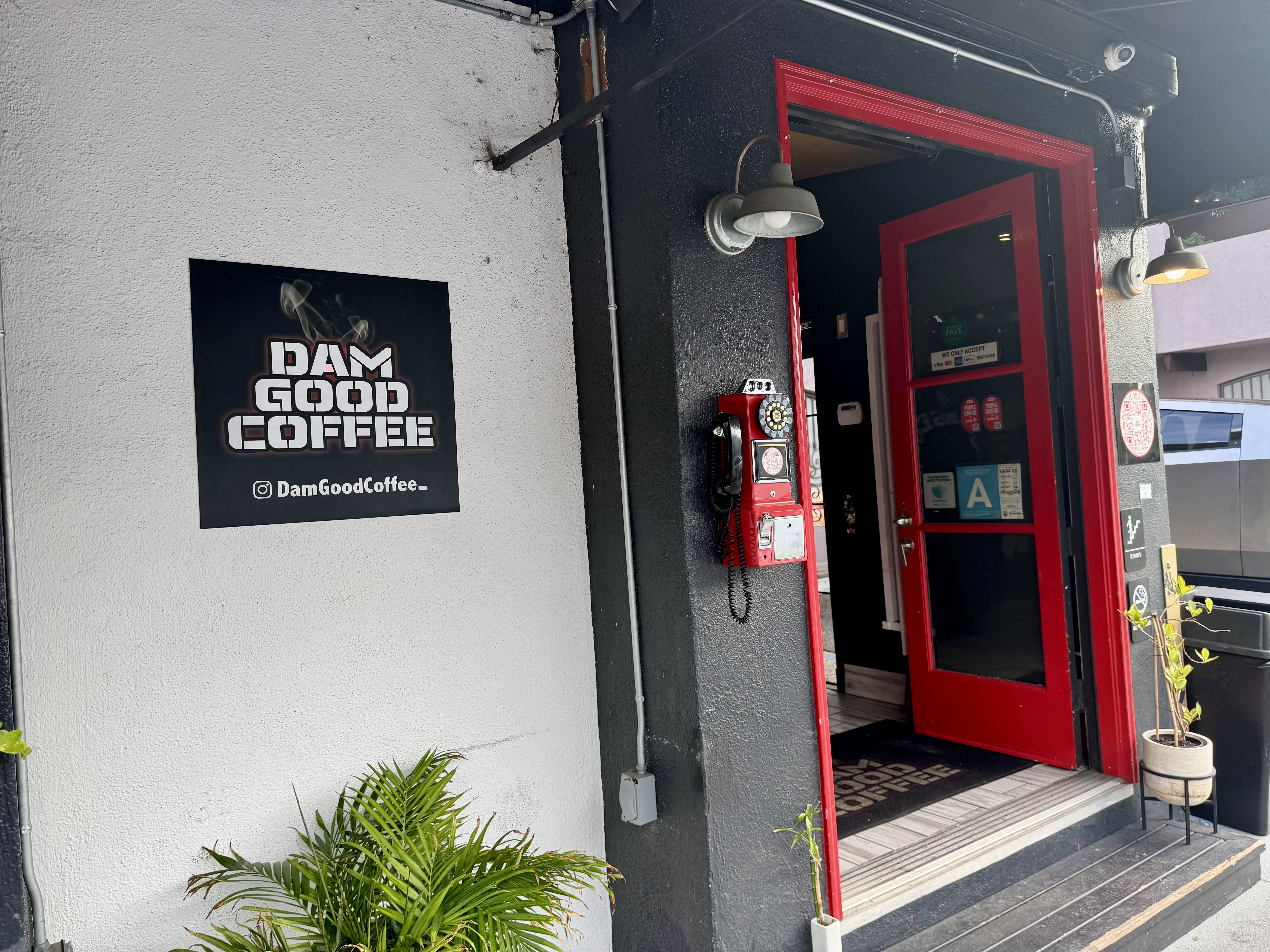
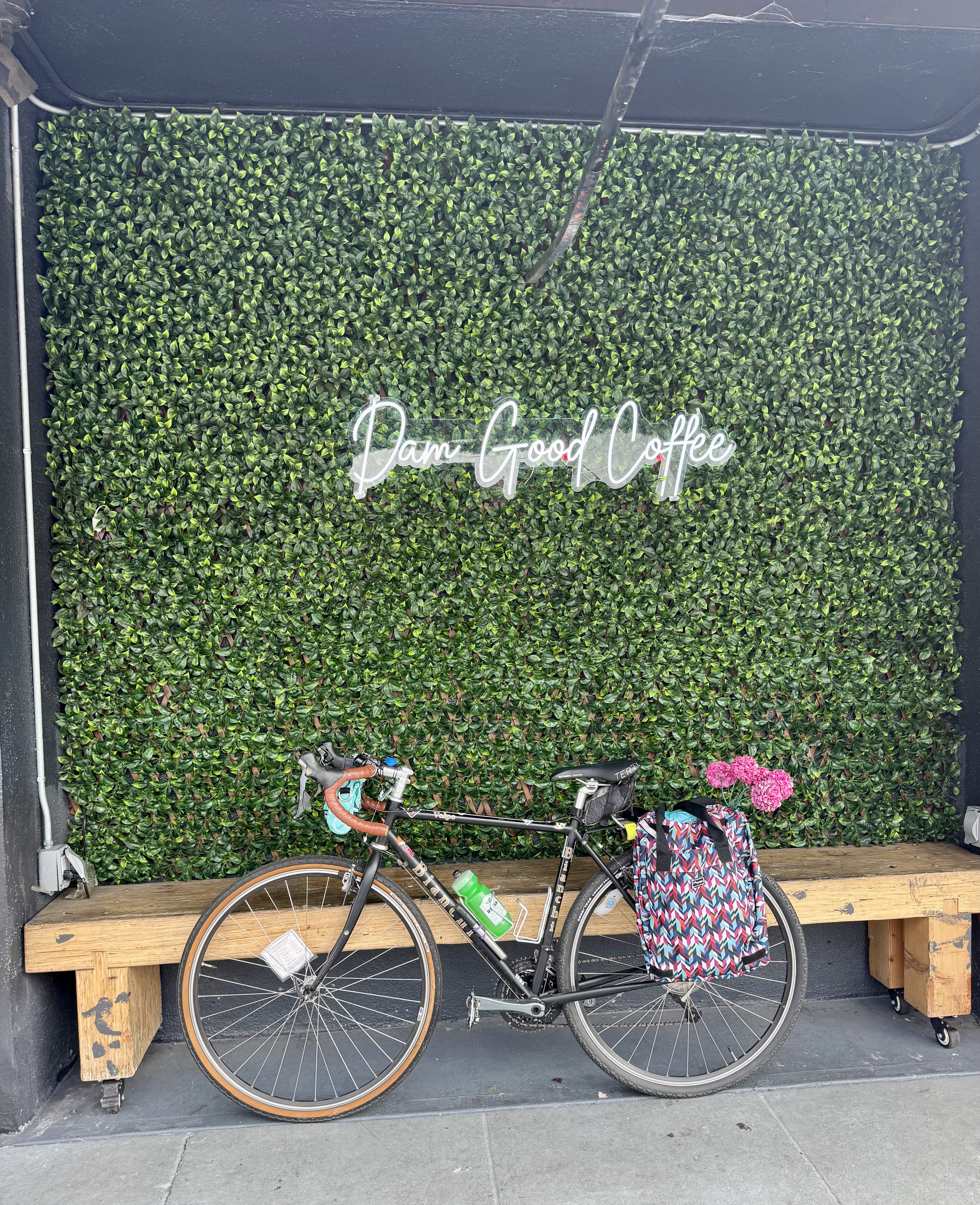
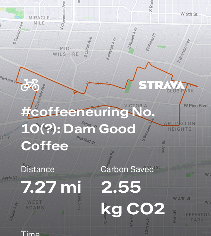
Control No. 10: 11/16/25 Dam Good Coffee (Los Angeles)
Beverage: Honey Vanilla Latte
Bike: Volpe
Bloomers: Groovy Tie Dye
C+1: The Coffee Shop Owner
Beauty: The longer, prettier route, and some Insta-worthy decor
Miles: 7.3
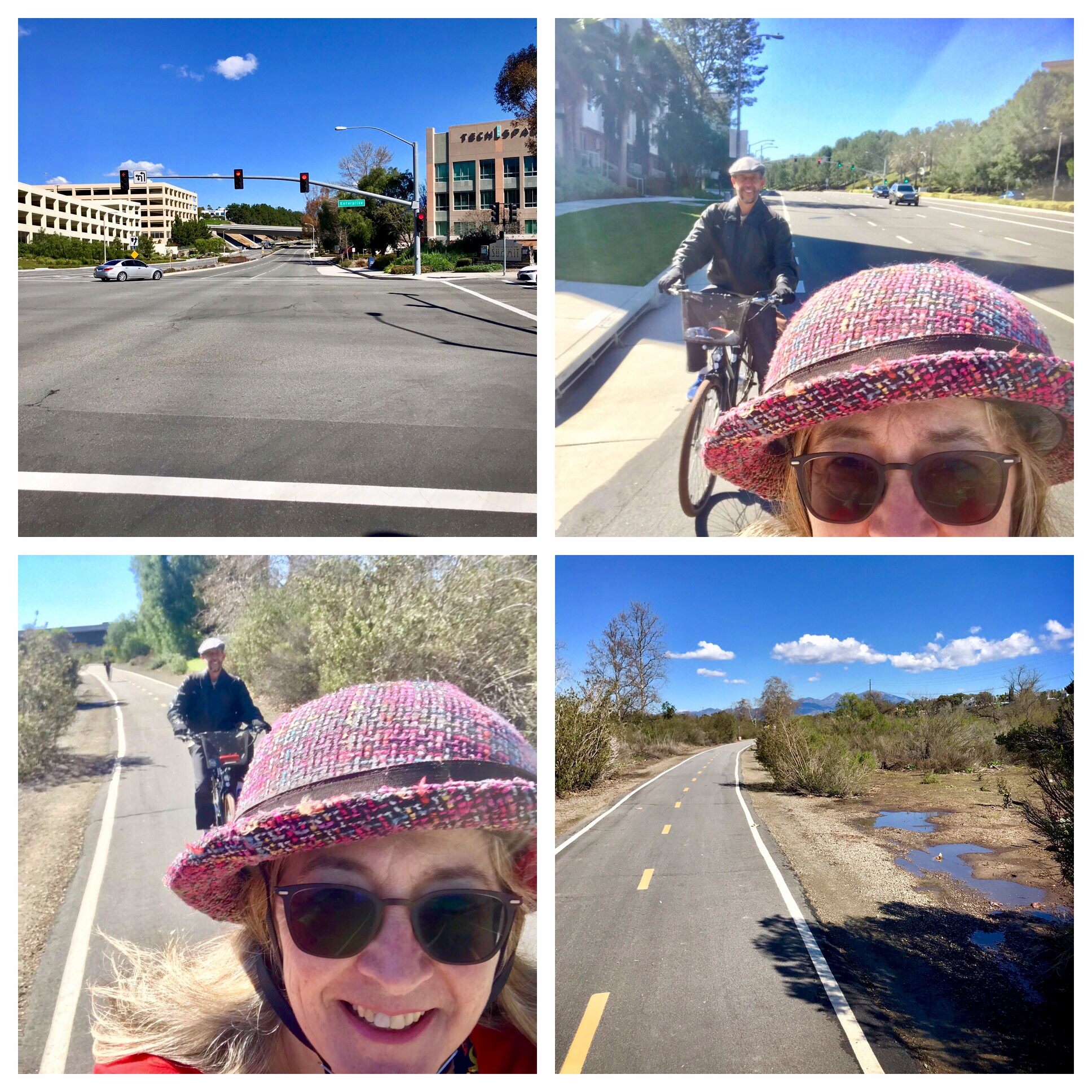
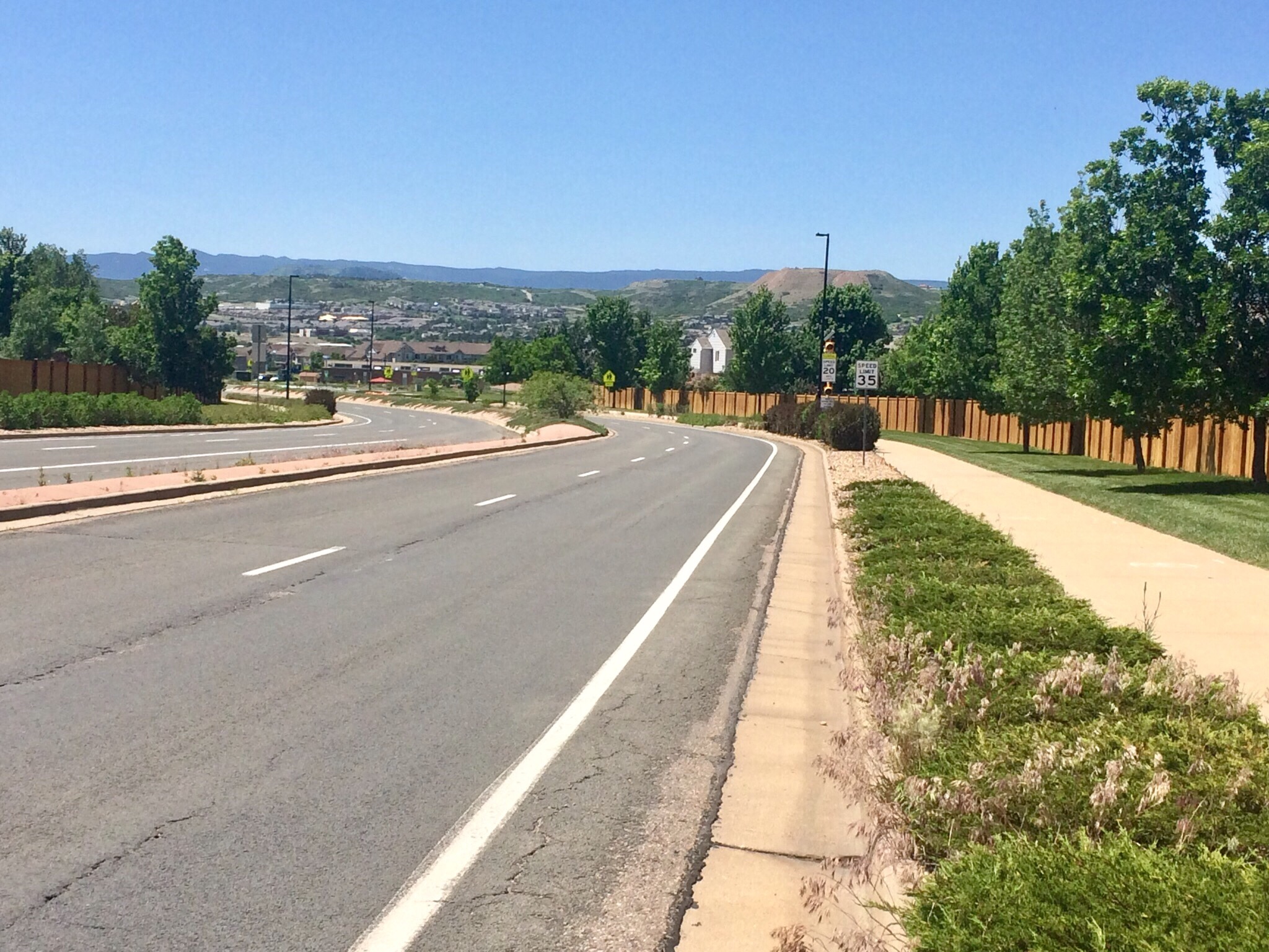
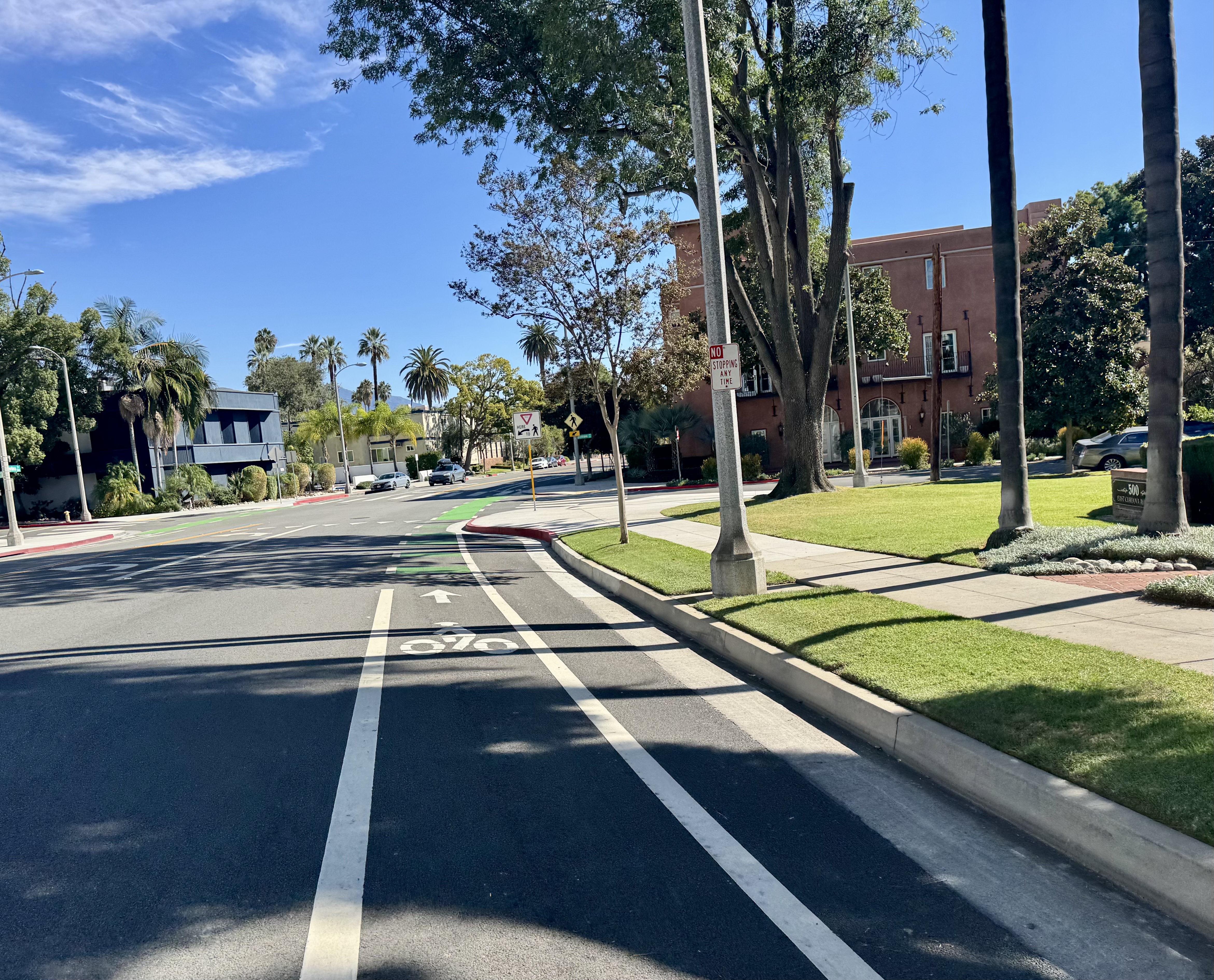
Ever since the new protected bike lanes were added to San Vicente Boulevard in the area close-ish to where I live, I have been using these bike lanes on the regular. The lanes take me past a place at the intersection of San Vicente & Carmona that advertises “Dam Good Coffee”, and every time I’d ride by, I would think to myself: “I should stop at this place for one of my coffeeneuring rides!” So finally I did just that. This one is just a mile up San Vicente from my current favorite grocery store, so I turned it into an errandonnee event. But first I had to plan my route to the coffee shop. Taking the most direct route was simply not an option.
I looked at a map to consider the bike-friendly streets I could take, and settled on the 4th Ave bike lanes to the Venice Blvd bike lanes to get me to Cochran Ave and then take Packard Ave to Carmona. This was indeed the route of bike-friendliness + beauty, as the latter streets were pretty, tree-lined “slow streets”, meaning they had added features to slow down traffic and make drivers aware of pedestrians and cyclists.
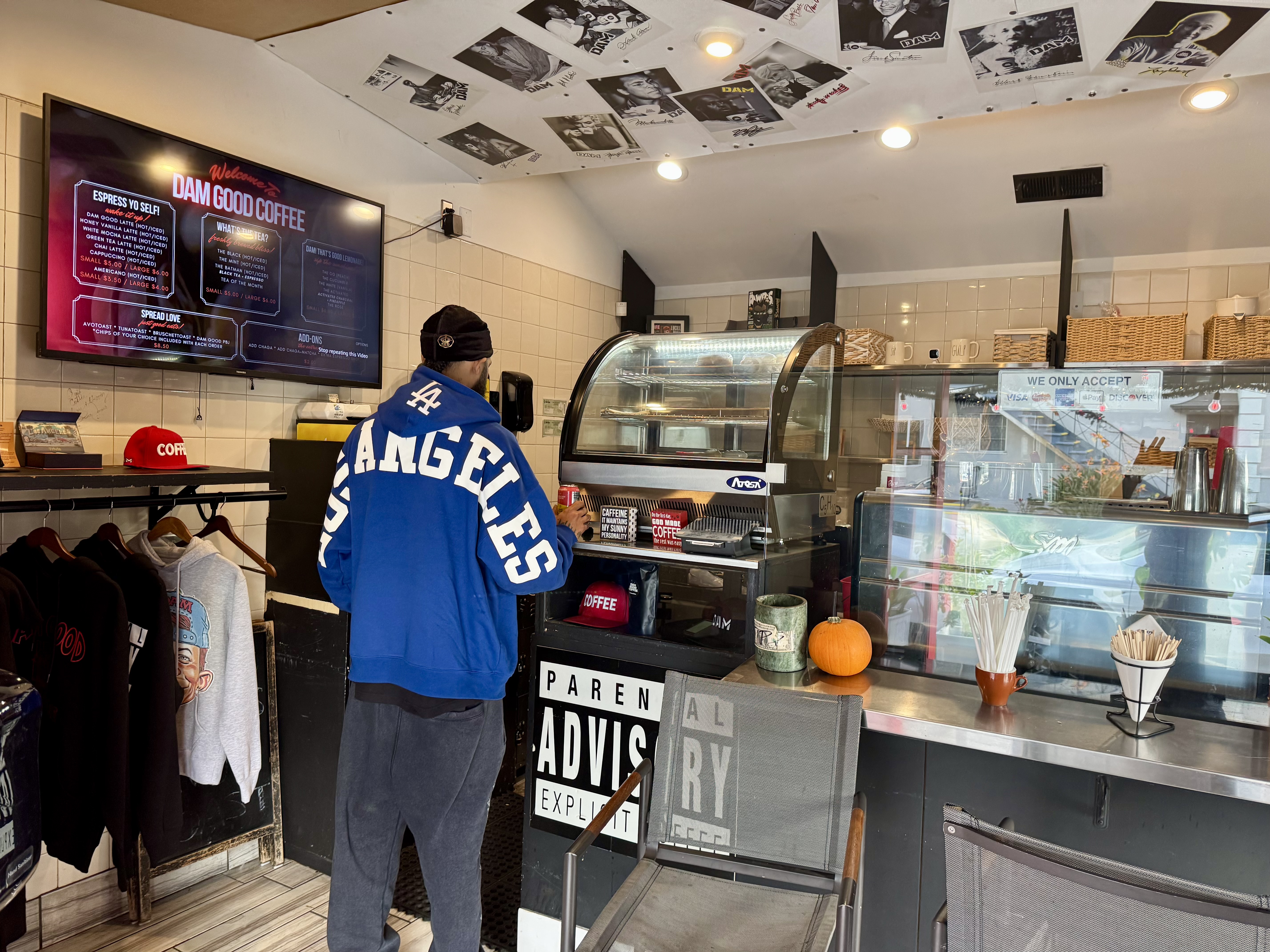
When I got to Dam Good Coffee, I saw someone sitting outside, seemingly finishing up their coffee, and I decided on a place to lock up my bike near the outdoor tables. But when I went to enter, the door seemed to be locked. I walked around to a side door that was open but behind a locked security screen door. I hollered through that open area to see if someone might be in the back, but got no response. I hung around for a bit, trying to decide if I should just roll on or wait awhile. I checked the shop’s hours on my phone and saw that it should be open, so perhaps someone had taken a short break and would return. Then one of those cyber trucks sped up and pulled into a driveway next to the side door and out jumped a man who told me he’d seen me on the security camera and rushed back to let me in. Turns out he’d been dealing with some kind of emergency involving his water system, and had to leave to address it.
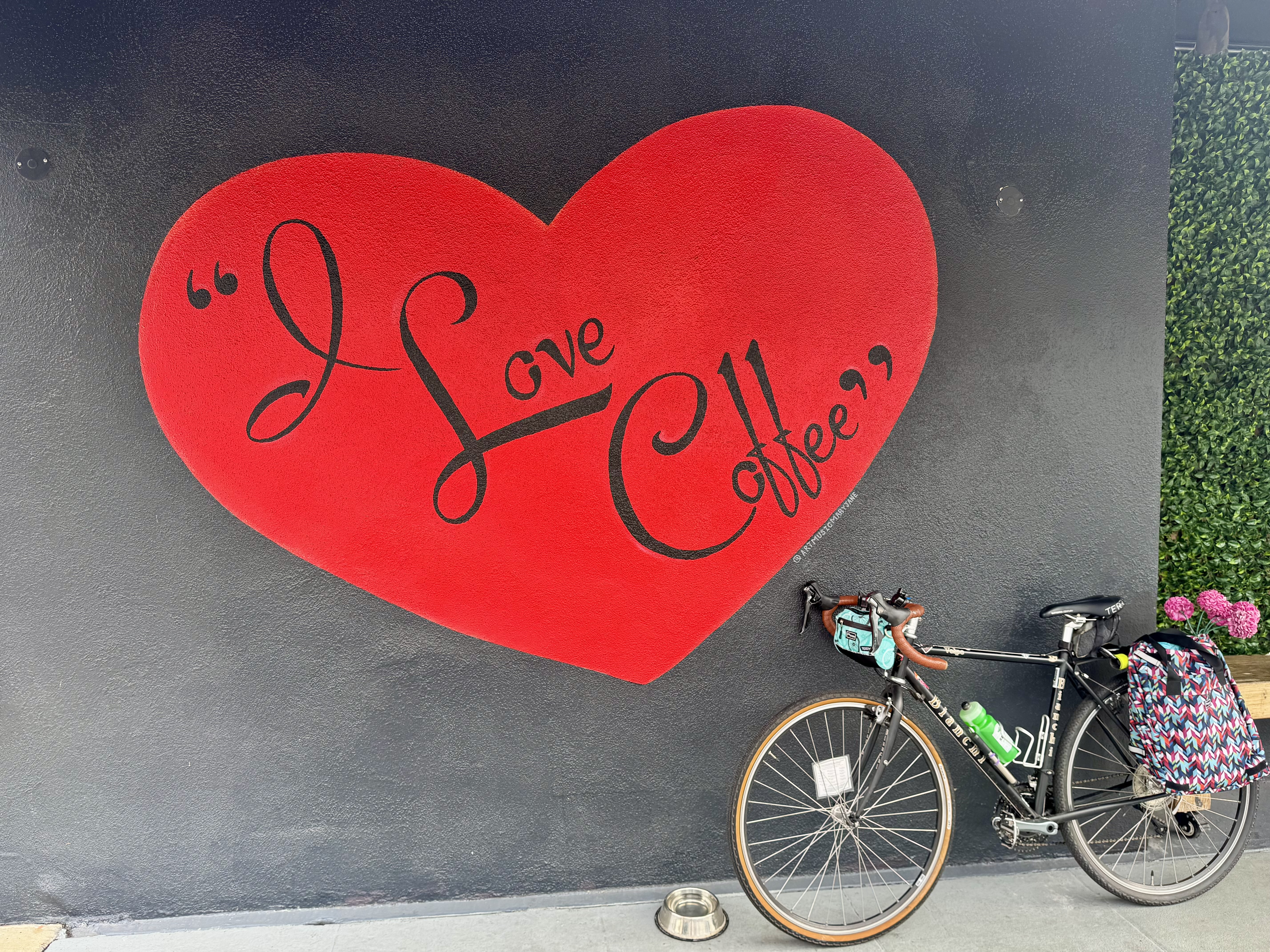
So I got to go inside, and the owner explained to me the little crisis he’d just had that took him away shortly before my arrival. And then I told him how I like to try different coffee drinks, and that I tend to like the liquid dessert variety. He recommended the Honey Vanilla Latte, and it was indeed the kind of sweet, comforting drink I enjoy. The shop is interesting, as it features some merch (sweatshirts, hats & T-shirts), plus some hints of humor, such as a sign that reads: PARENTAL ADVISORY EXPLICIT COFFEE. I liked the fun touches on the outside best. There’s a bright red old-timey pay phone mounted near the front door, and a couple of Instagram-worthy wall spaces. One is a wall of plastic greenery with neon script reading: “Dam Good Coffee”. The other is a red heart painted on a black background that reads, in script reminiscent of the “I Love Lucy” show, “I Love Coffee”. The latter had always caught me eye from the bike lane when riding by. So I enjoyed my sweet latte at one of the cute tables out by the sidewalk, and then took a few moments before leaving to snap pics of my bike in front of the cool wall art. Afterward, I rolled on to stop and get some groceries at the nearby Sprouts before rolling on home via one of my usual routes.
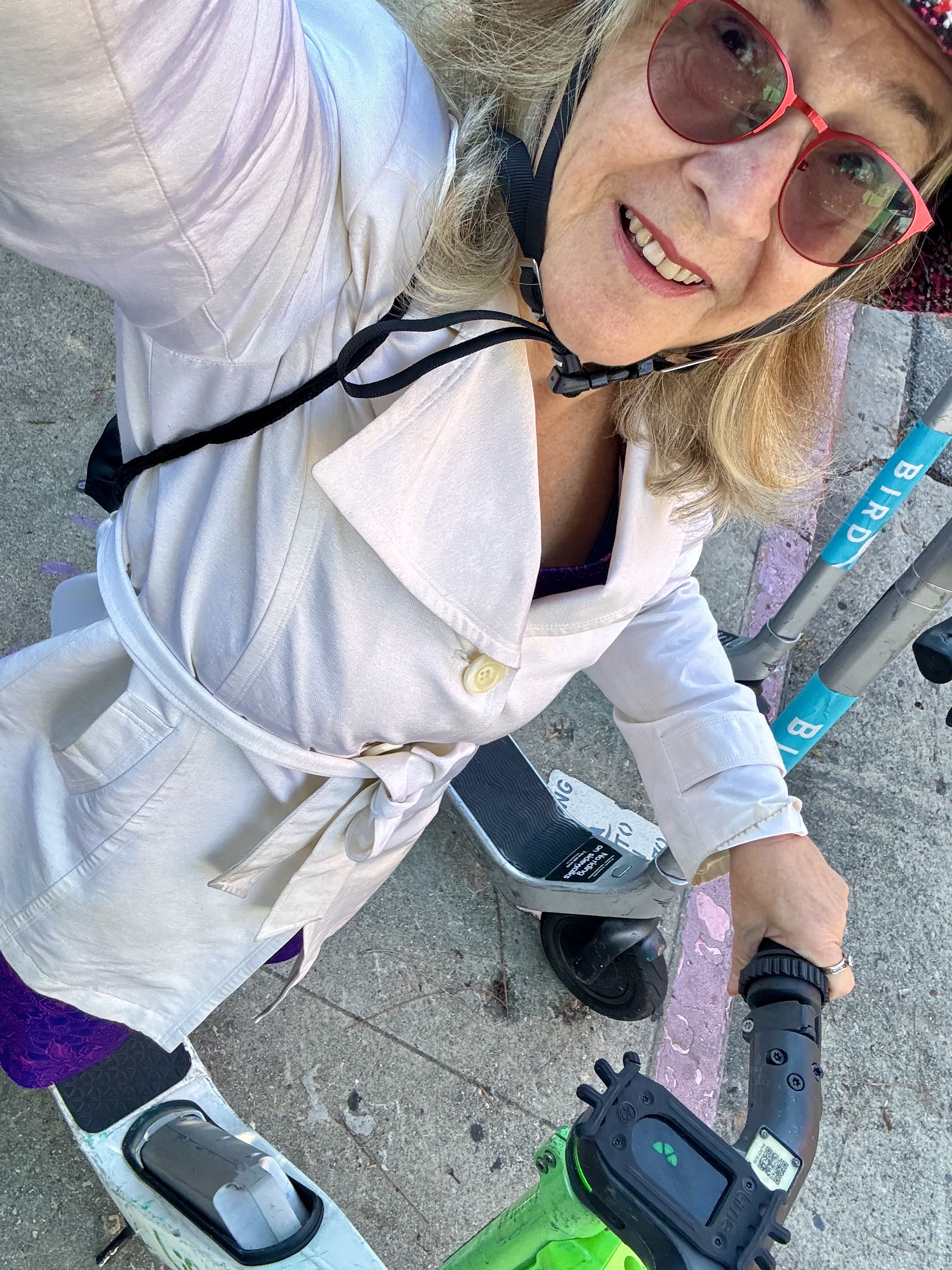
Control No. 11: 11/11/25 Aquarela Coffee in Downtown (Los Angeles)
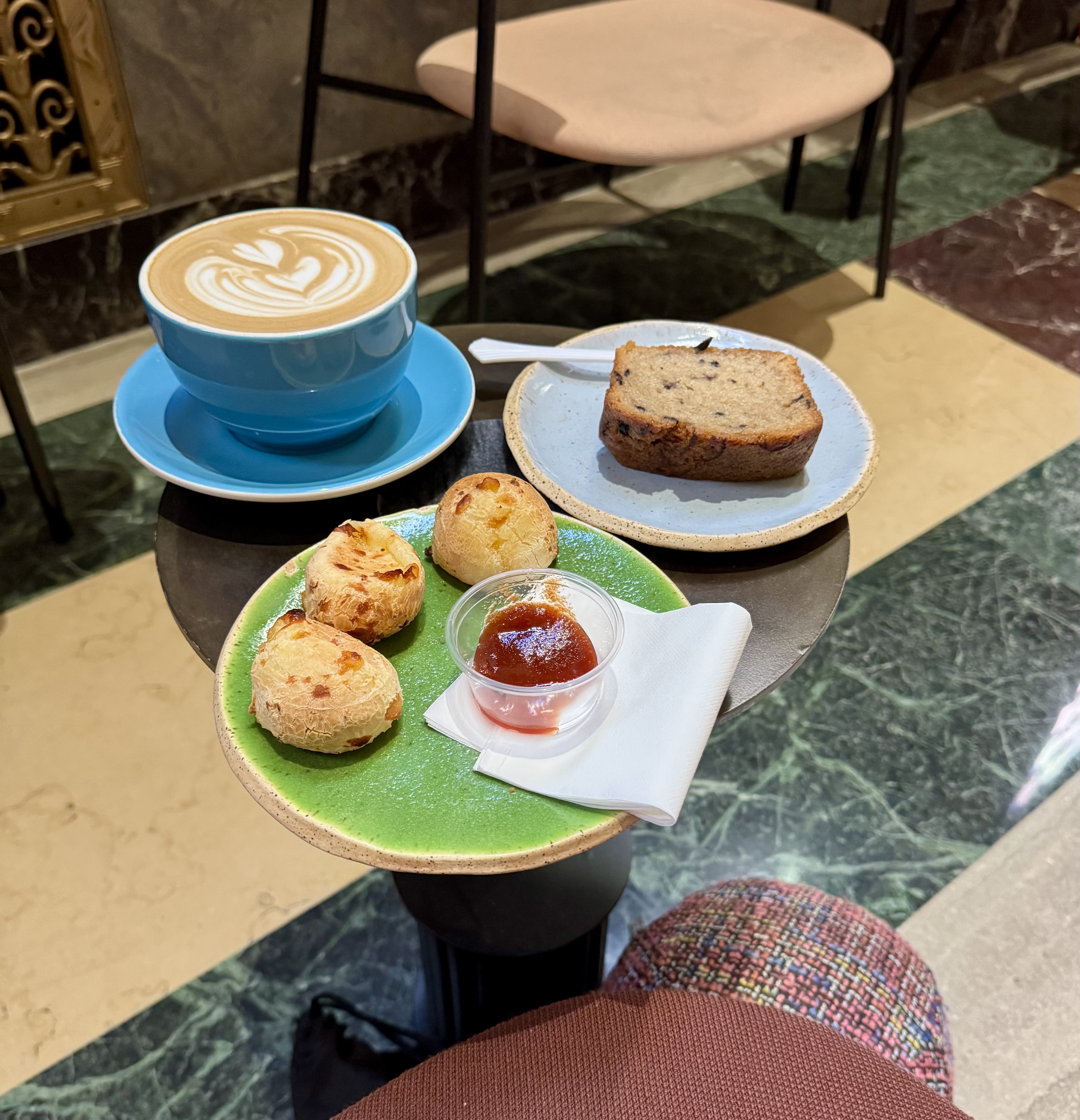
Beverage: Sabotage Latte (+ blueberry bread & cheese balls)
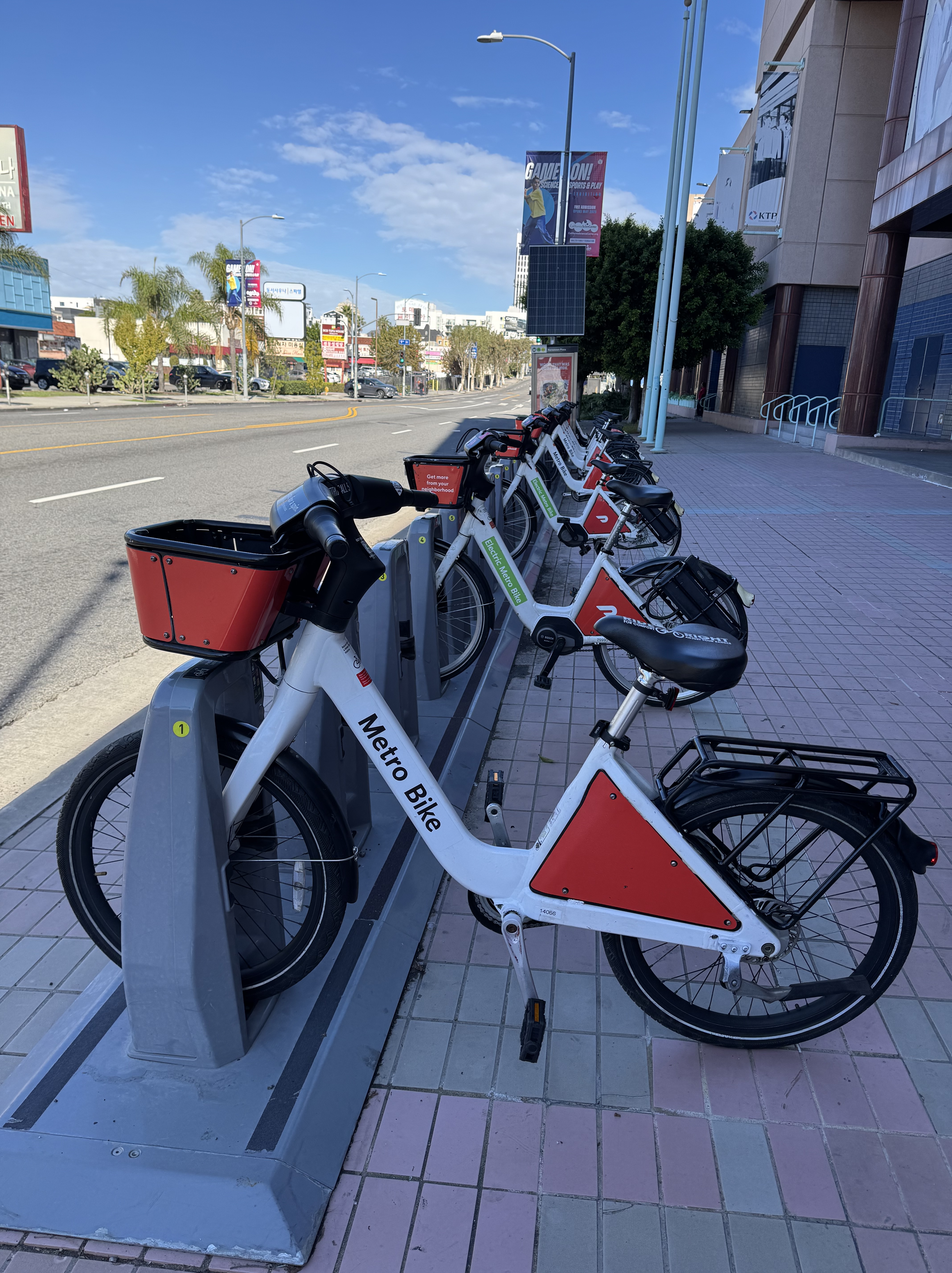
Bike: Metro Bikeshare
Bloomers: Hot Pink Zebra
C+1: Lime Scooter
Beauty: Stunning architecture & lobby of the CalEdison Building
Miles: about 10
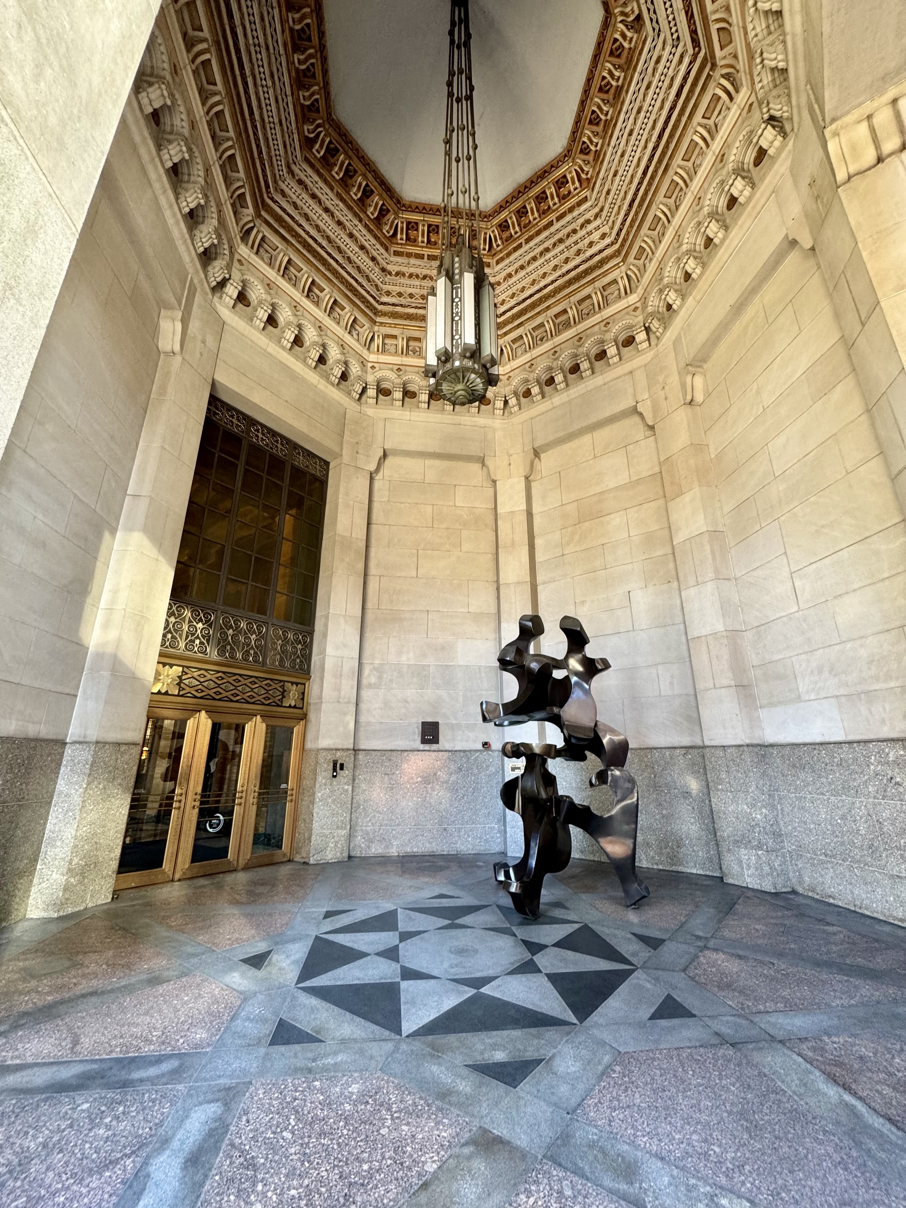
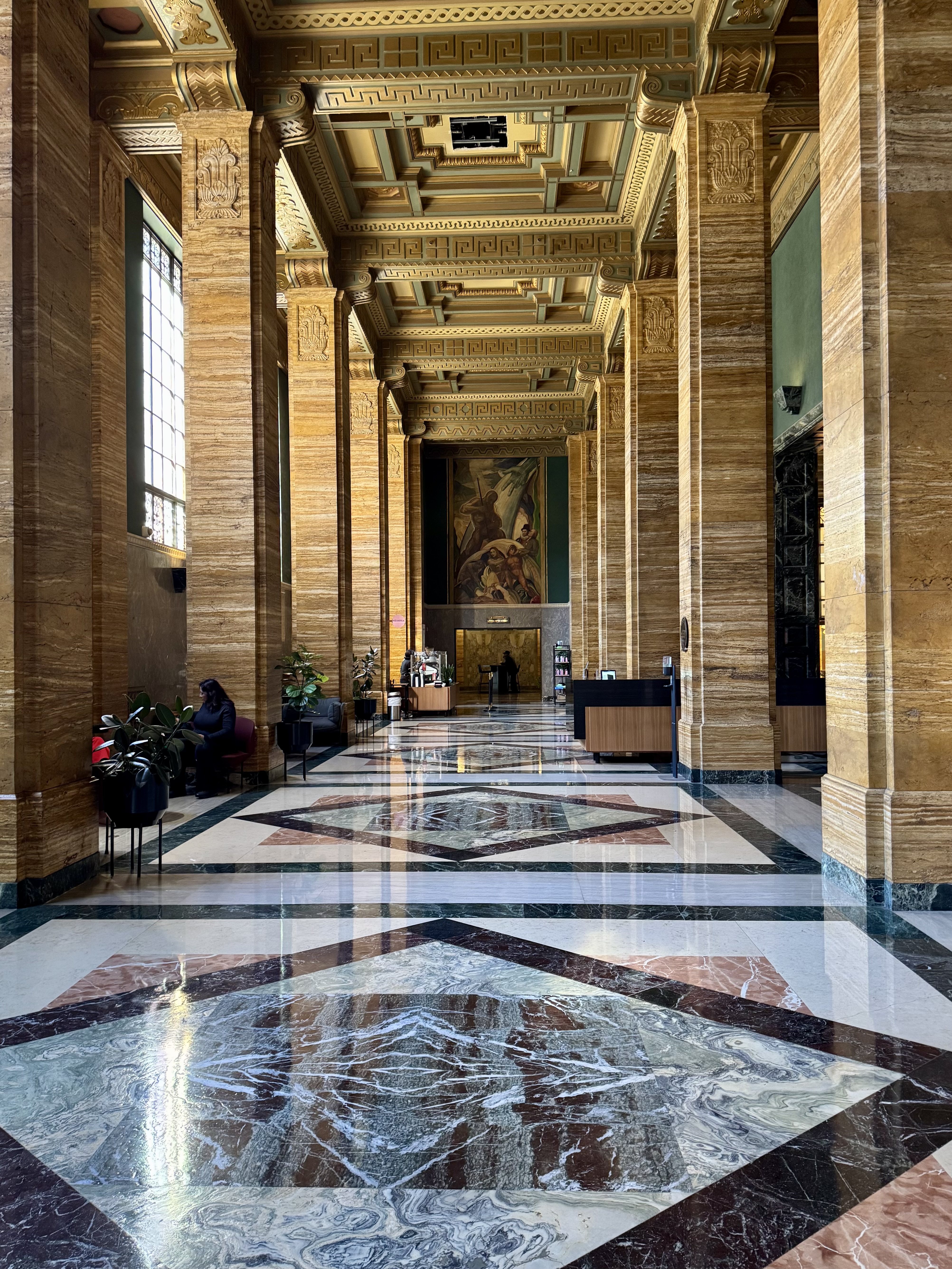
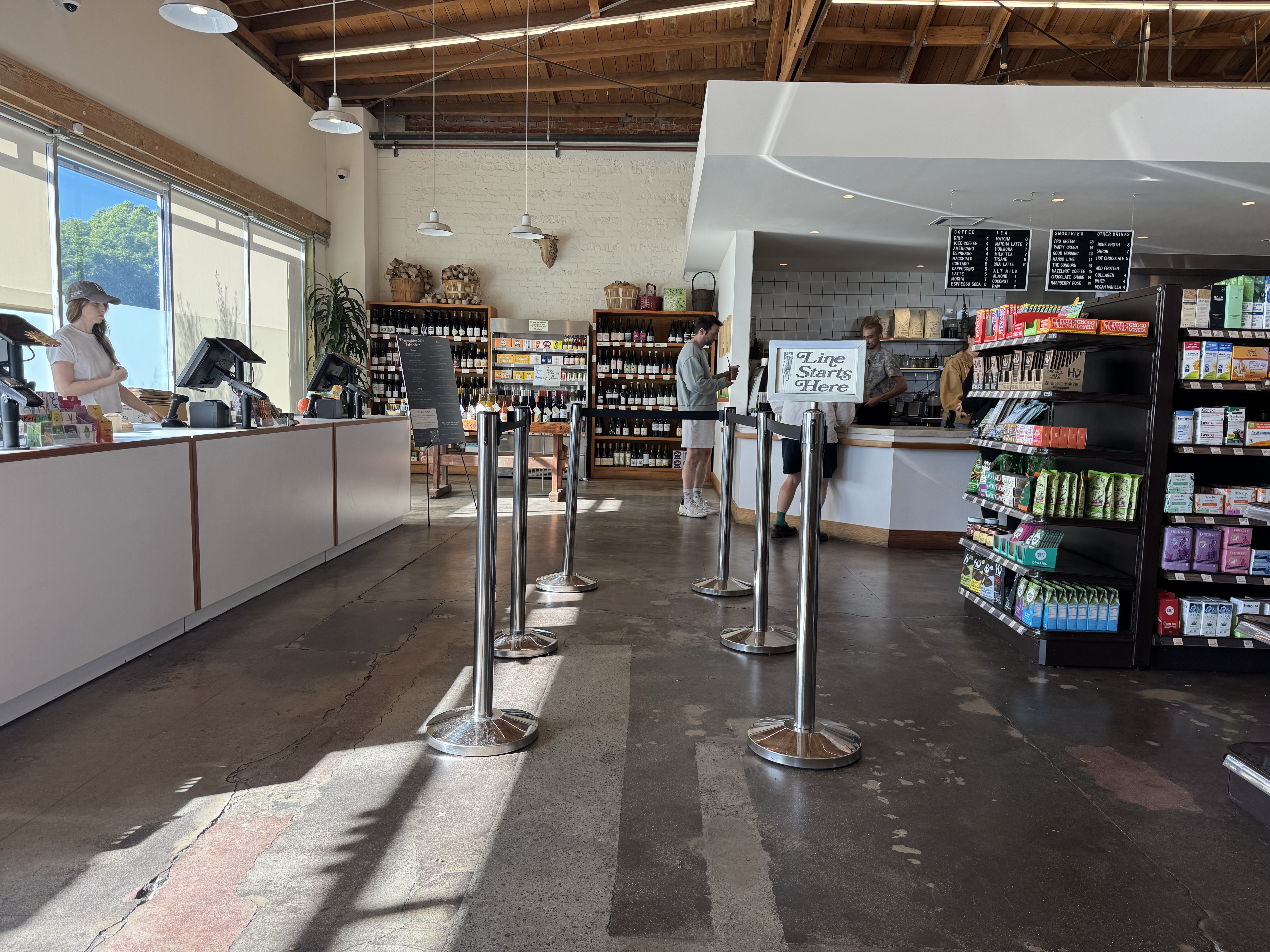
On my list from Instagram of beautiful coffee shops was Aquarela, in the lobby of the CalEdison building downtown. The challenge for this one was that it is only open on weekdays. As it turned out, my doctor had asked me to get a blood test and to make sure that (this time) I get the blood drawn before 9 AM. Apparently, last time it wasn’t enough that I had refrained from eating until after the blood draw. That time I had encountered a comedy of errors and did not get the blood drawn until after 11 AM. So not only was I hangry and frustrated with the process of figuring out which lab would accept my insurance, I had wasted my efforts by not scheduling an appointment before 9 AM. And there was an 8:30 AM appointment available at a Quest lab location in downtown, not terribly far from where I live.
One thing I don’t like about biking to downtown L.A. is having to identify a secure place to lock up my bike. I sometimes solve this problem by using bike share. Turns out there is a bike share dock just across the street from the Quest lab where I had made my appointment, and there is also a bike share dock just across the street from the CalEdison building. Problem solved!
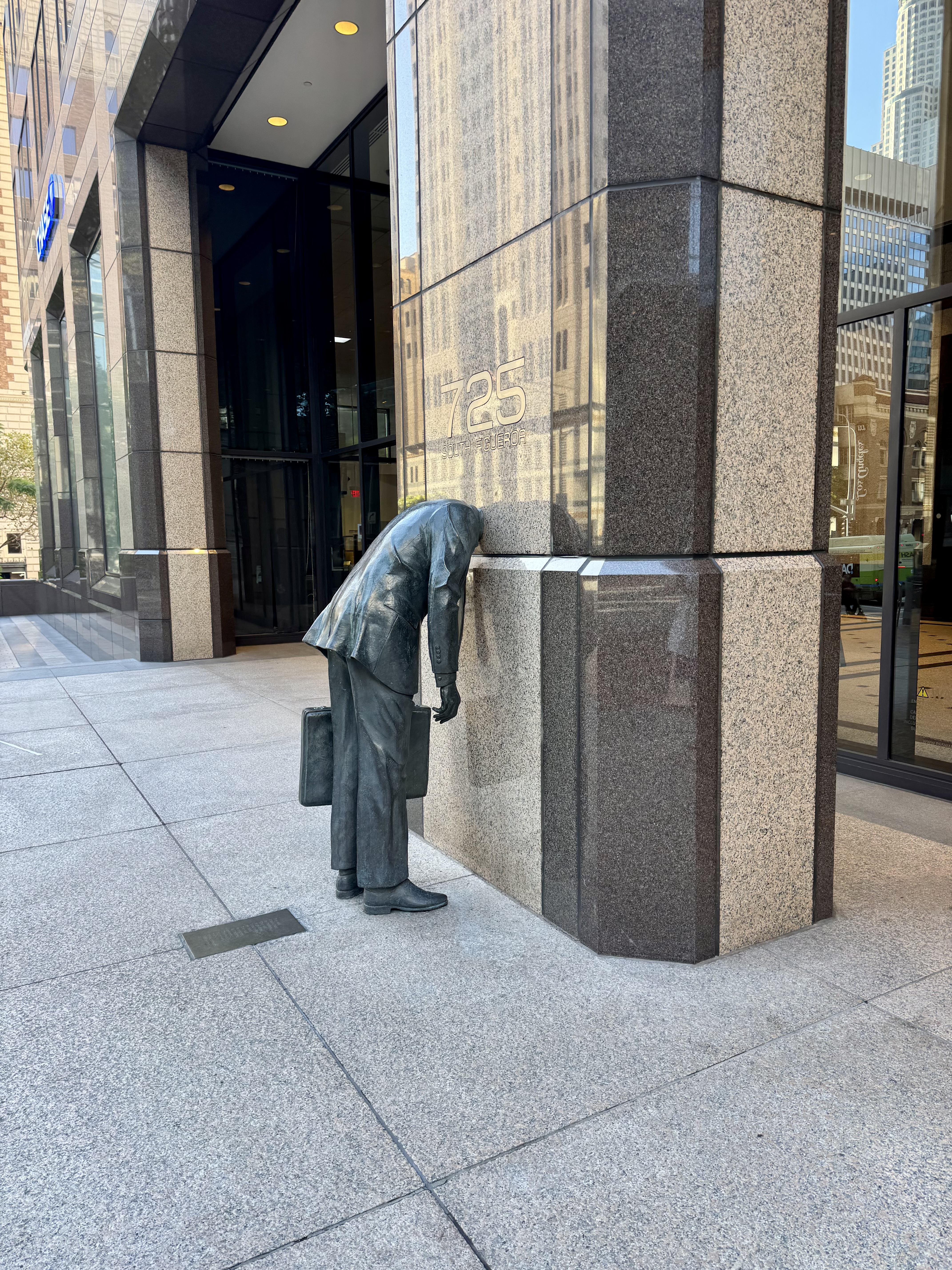
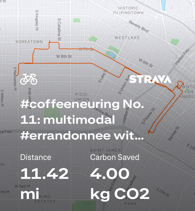
First I walked a quarter of a mile to get to the bike share station closest to my house. As I was riding into downtown, it occurred to me that I might not make it all the way to Quest before the allotted 30 minutes of free riding expired, so I decided to stop as I passed a docking station just before downtown to “re-charge” my rental. Unfortunately, I didn’t stop to consider the warning message I had seen in the app that some stations would be unavailable that day. So when I docked the bike, I discovered that the docking station was out of service, and that I could not check out my bike, or any other bike, due to the non-functioning dock. Oops. So I started walking briskly, but after a block or so, I realized I was never going to make my 8:30 appointment if I just walked the rest of the way. As I approached 7th & Figueroa, I felt a kinship with the statue there of a man in a suit carrying a briefcase with his head lodged inside the exterior of the office building. But at that corner, I also saw some Lime scooters, and figured that would be the way to get myself over to Quest in time. I’m not real confident and comfortable on those e-scooters, but at least I had my helmet and access to bike lanes for the entire 1.2 mile journey.
By the time I finished my blood draw, the support team at Metro Bike had responded to my support request and I was able to check out a bike again. At first I couldn’t see the docking station that I had expected to see just across the street, but then I realized it was hidden behind a very large tractor/trailer combination that was parked in the street and obscuring the dock. The station was in service (yay!) and I was able to get rolling by bike again. From there, I rode over to the CalEdison building, or actually to a bike share station on the other side of the Public Library, as the docking station closest to the CalEdison building was another one that was out of service that day. I did not mind, though, as the downtown library is a beautiful building, and I enjoyed walking around it.
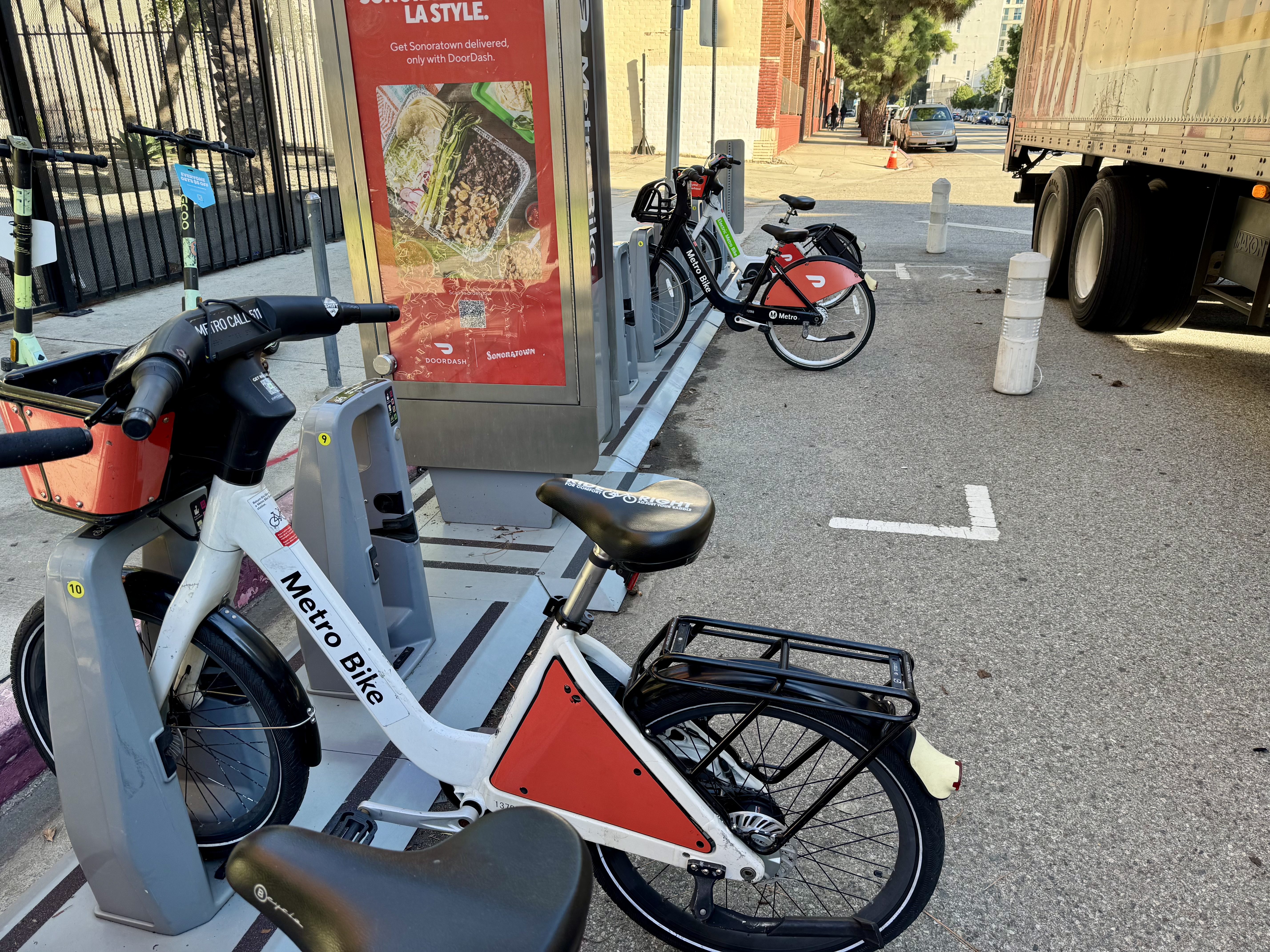

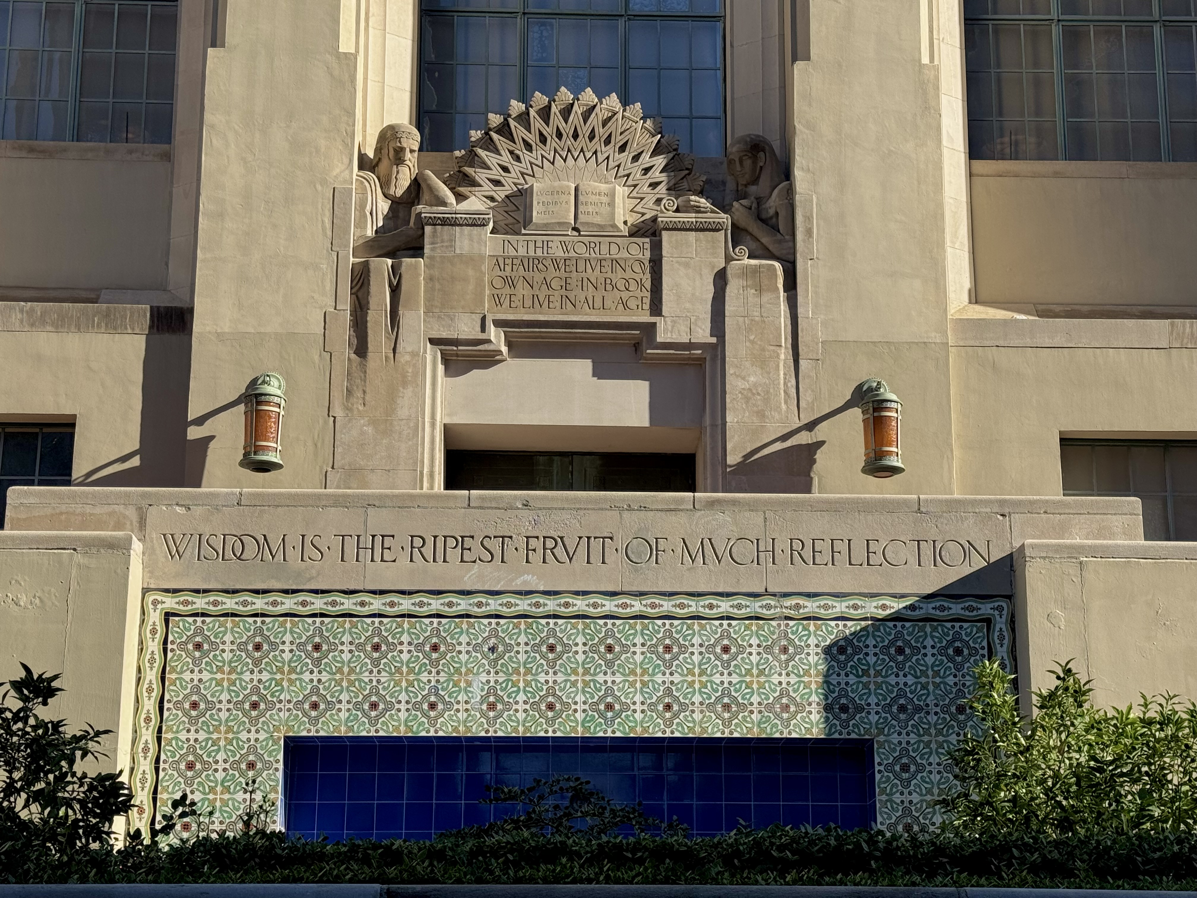
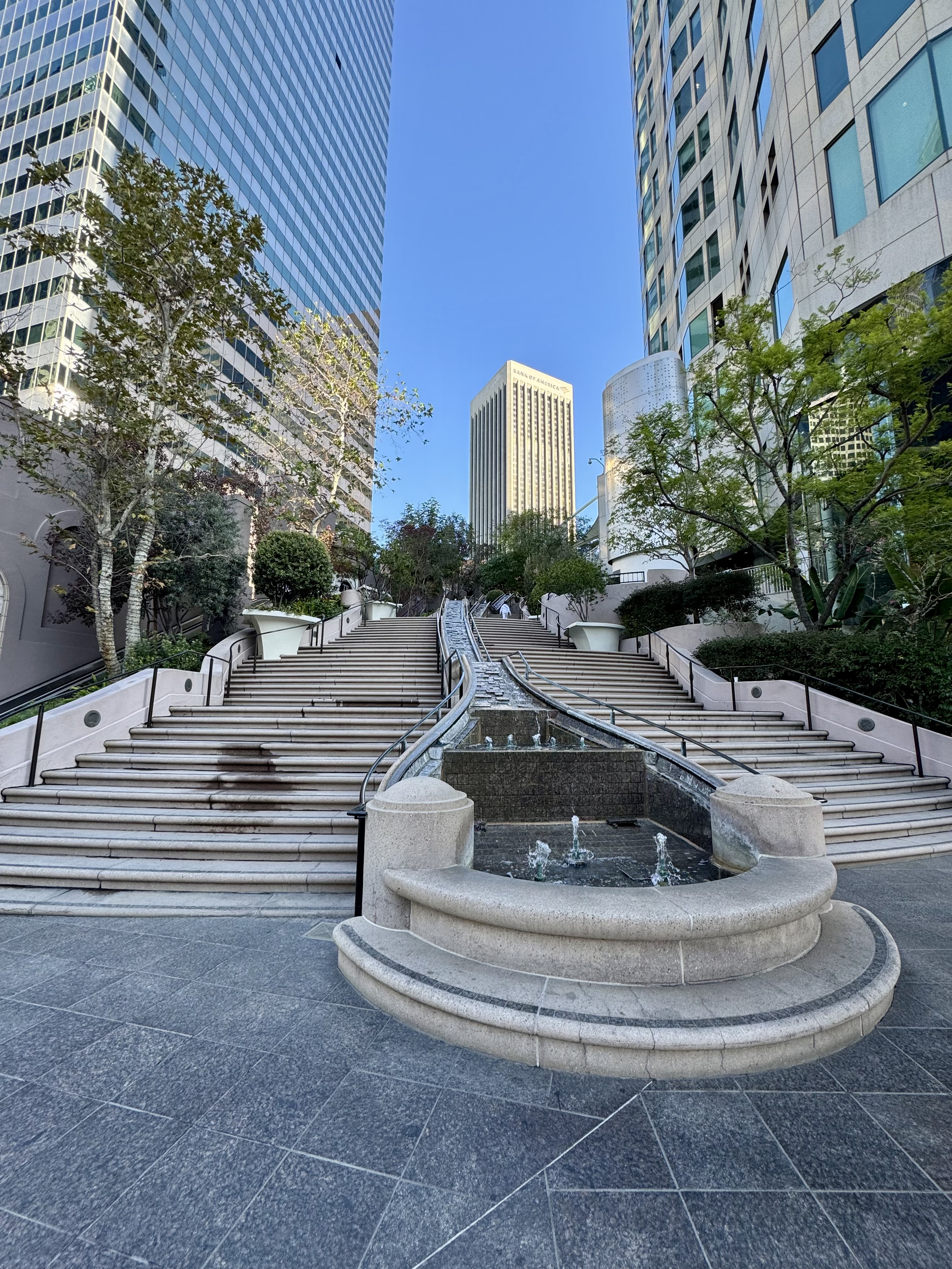
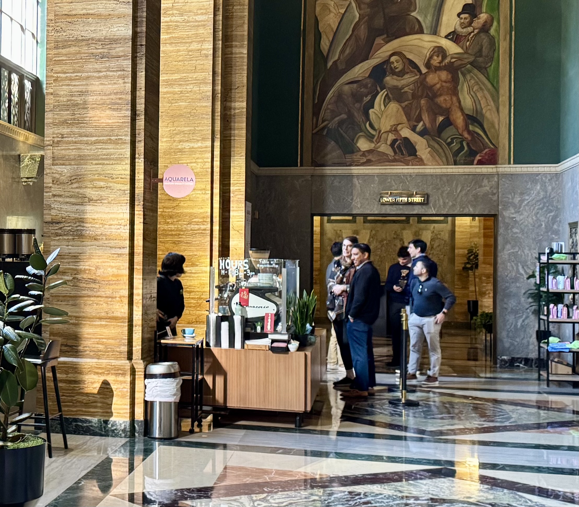
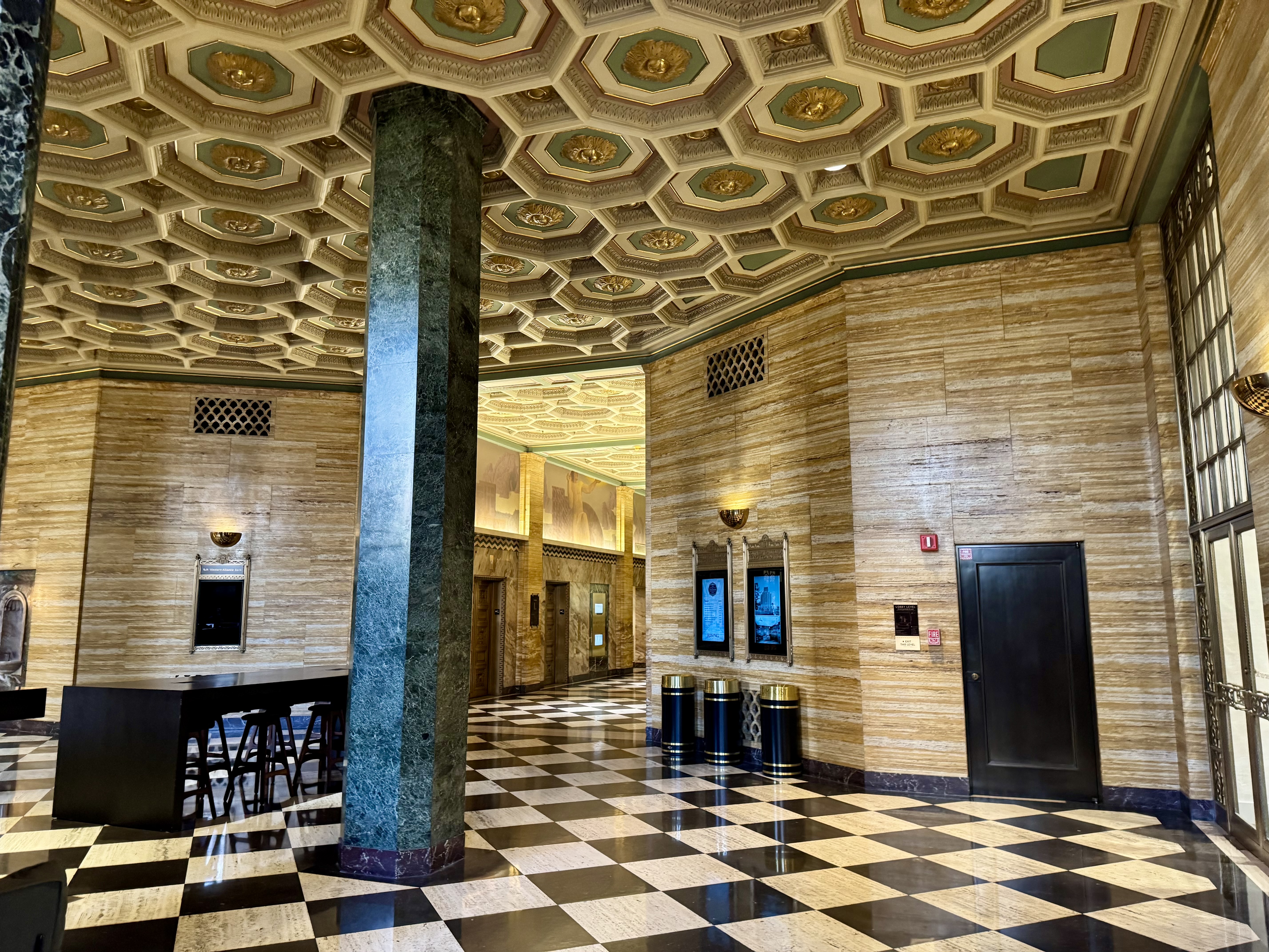
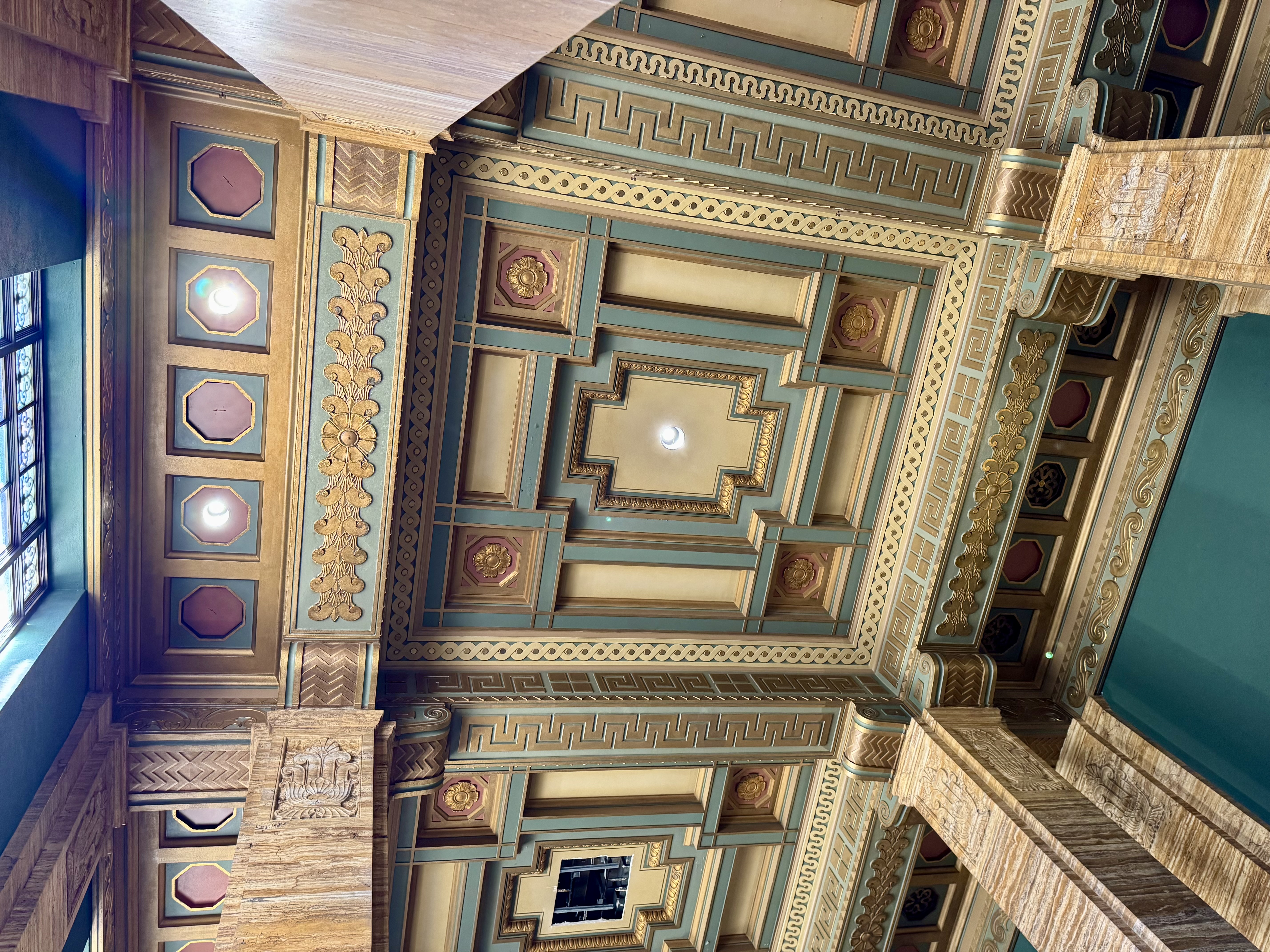
The lobby of the CalEdison building is truly stunning. The beauty and architectural detail that went into that lobby is a treasure. After taking a moment to gawk at the lobby, it was easy to spot Aquarela. I walked up and was greeted by a friendly women who gave me the run-down on their offerings, which include some special Brazilian treats and coffee drinks. I opted for the Sabotage Latte, which features both chocolate and spices. Since I was hungry, I also tried both the blueberry cake and the Brazilian cheese balls, Pão de Queijo, that are served with a red sauce. Everything was scrumptious and tasty!
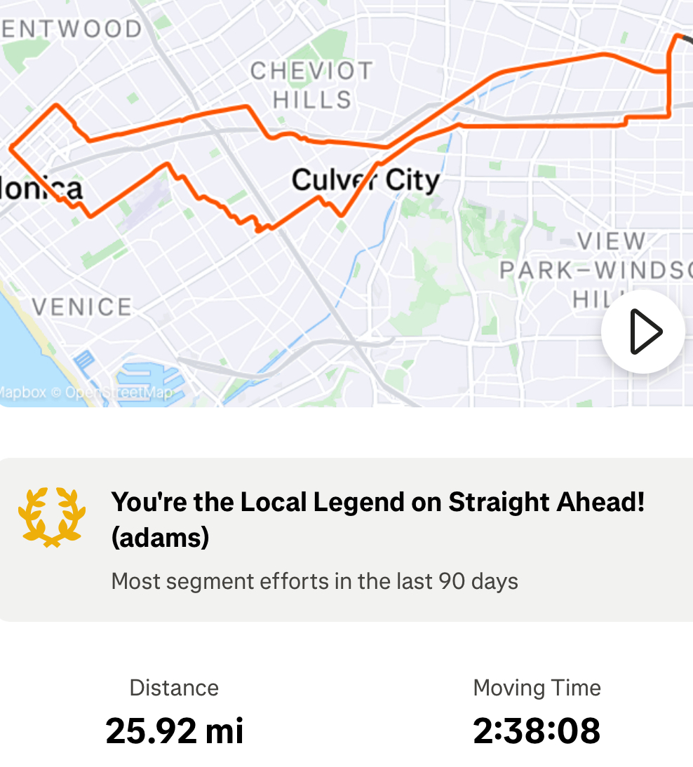
This ride was a multi-stop errandonnee, as after getting my fill of coffee, treats, and gorgeous architecture, I needed to swing by the office where I pick up my business mail. Luckily, there is a docking station right across the street from the office as well, and it too was in service that day. Then, with mail in hand, I rode back to the station closest to home. Although my Strava record shows 11.42 miles, I must deduct the 1.2 miles of scootering plus a little walking for that stretch in the middle when I was not on a bike, so I’m calling it 10 miles of riding.

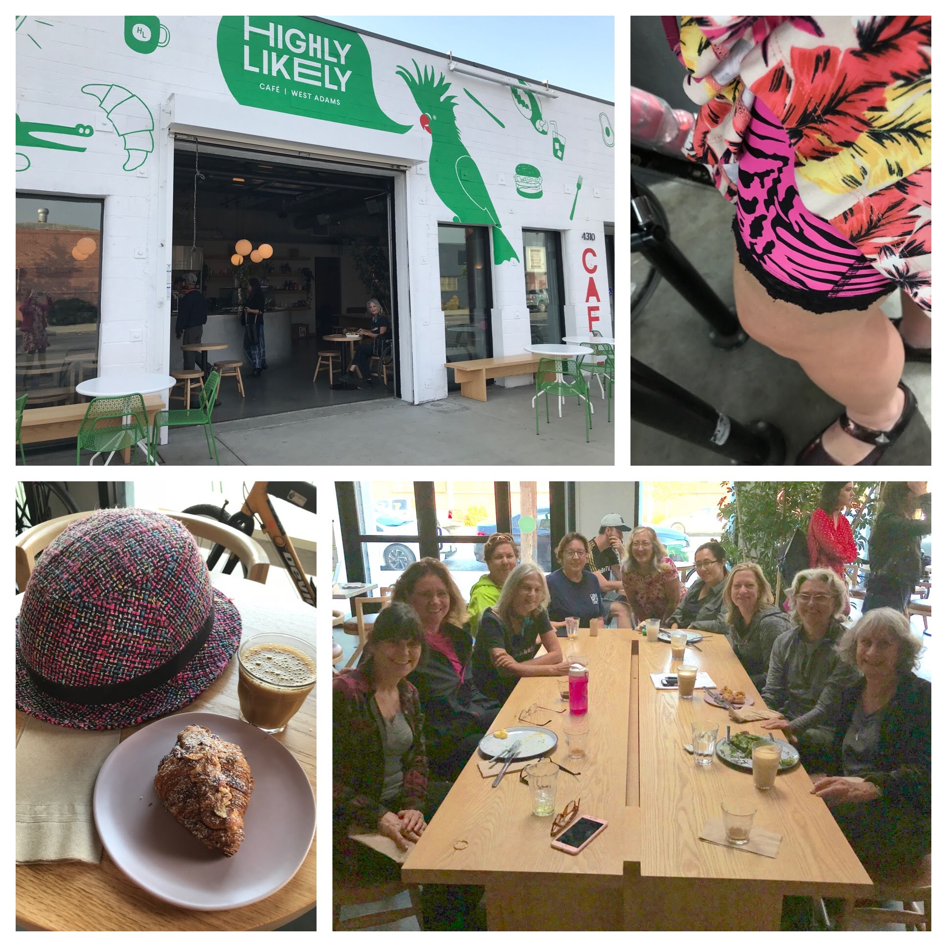
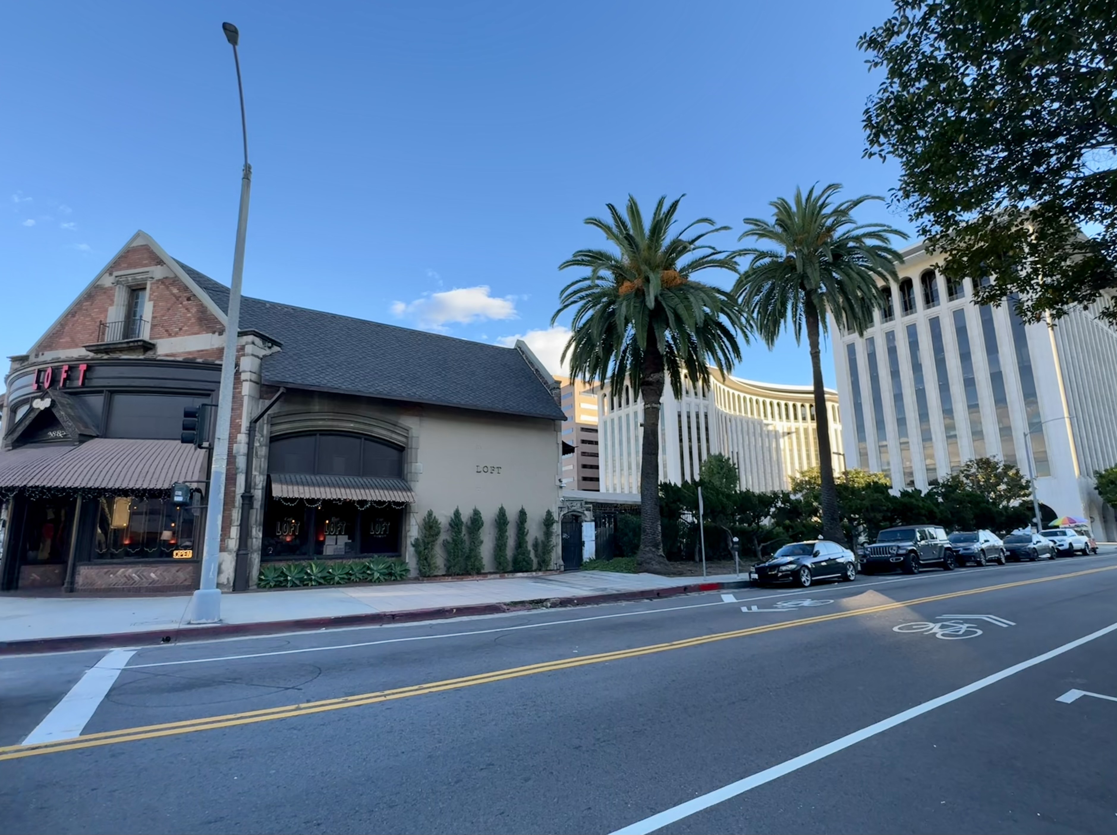
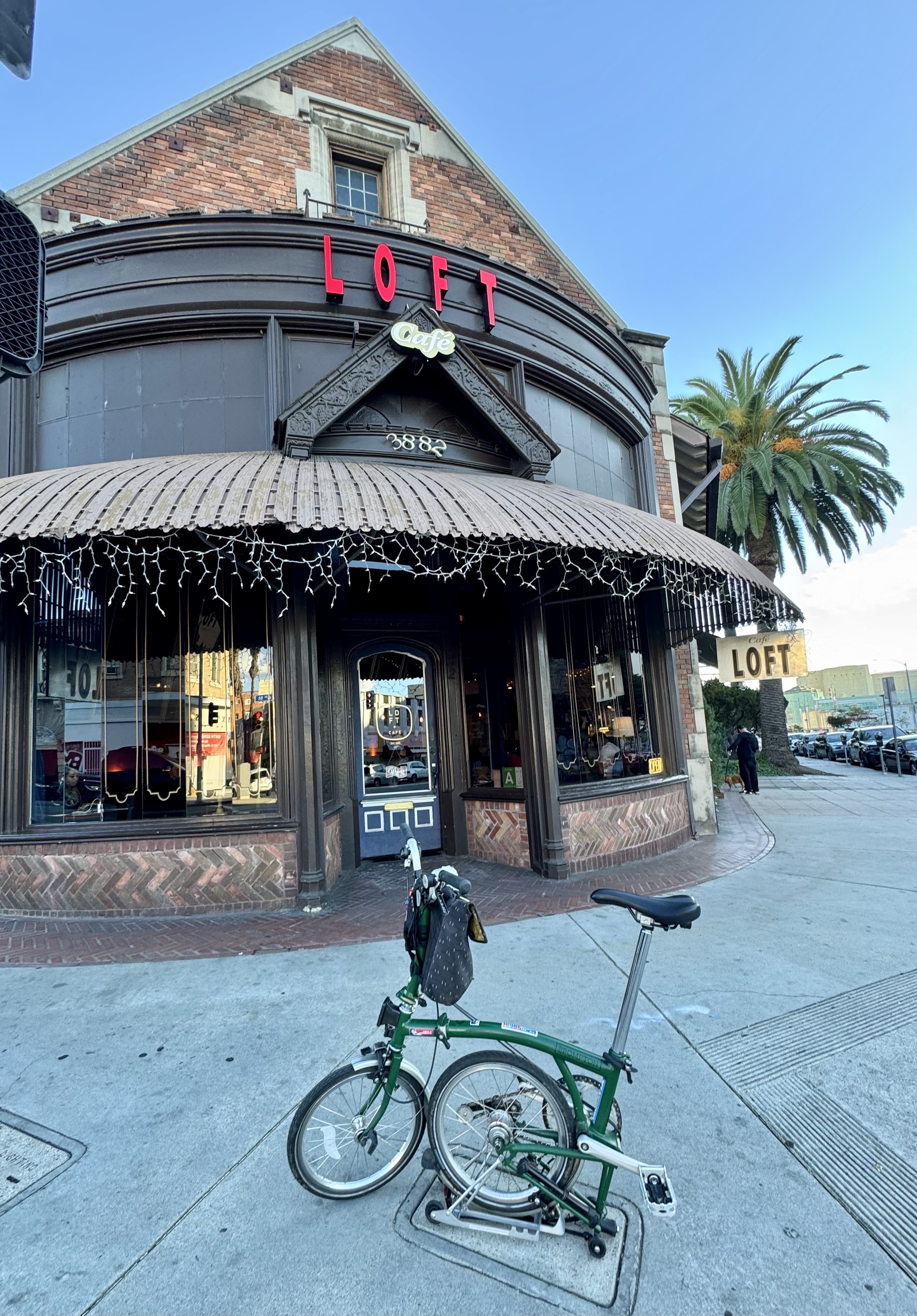
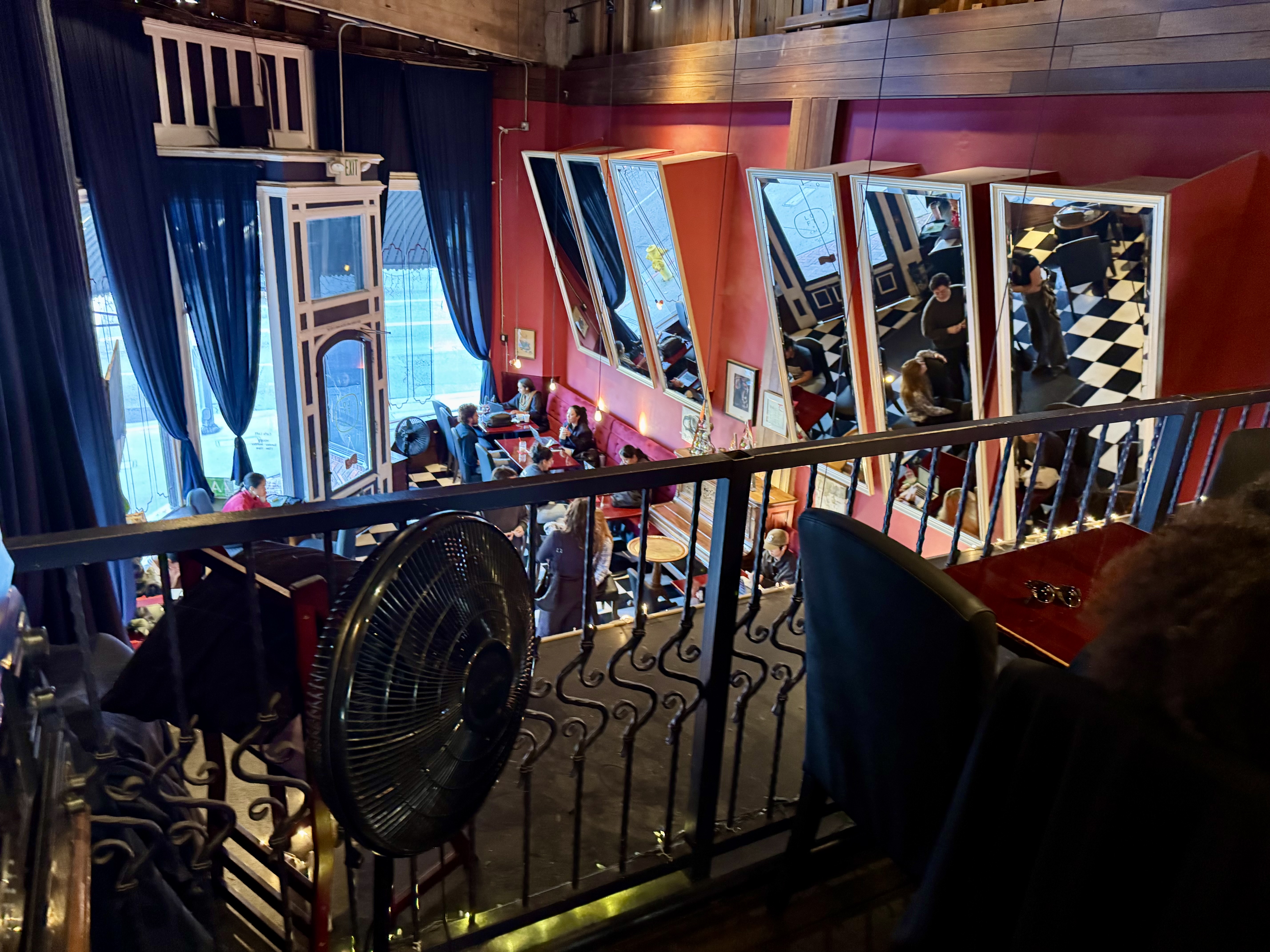
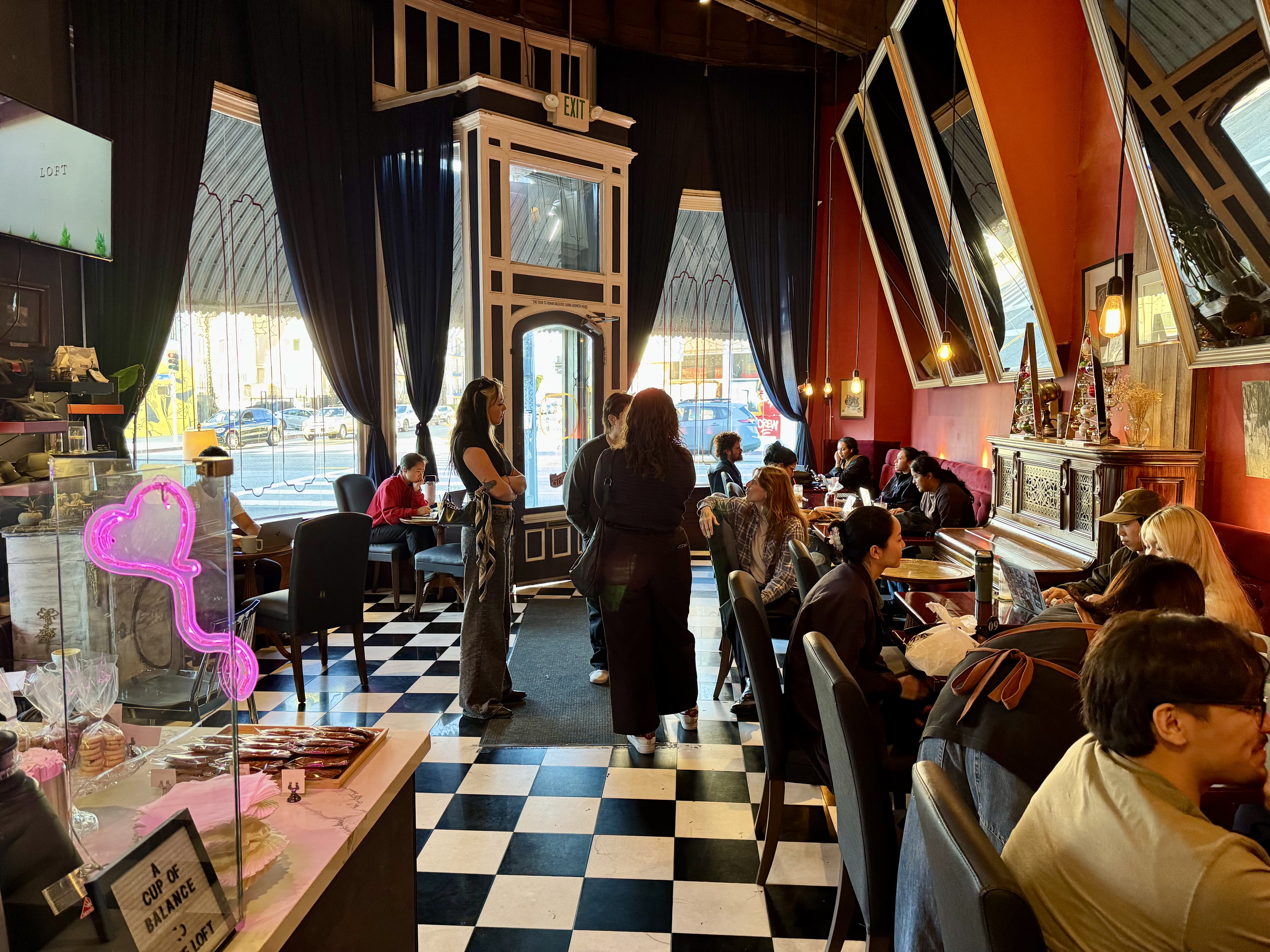
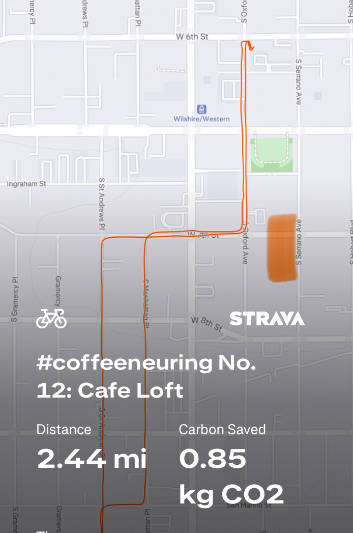
Control No. 12: 11/22/25 Loft Cafe in Koreatown (Los Angeles)
Beverage: Honey Latte
Bike: Brompton
Bloomers: Crazy Daisy
Beauty: Charming architecture & lovely patio
Miles: 2.4
From 2012 to 2022, I rented office space for my patent law practice in the Wilshire Colonnade, a building I loved that took up most of a large block on Wilshire Blvd, between Oxford Ave & Serrano Ave. The smaller portion of the block, along 6th Street, featured a row of cute brick-faced shops, in particular, one especially attractive coffee shop at the corner of 6th & Oxford. Oxford is one of the more bike-friendly streets in this busy part of town, and I use it a LOT, even when not commuting to that office. I often would say to myself, “I ought to check out this coffee shop next time I’m coffeeneuring.” And yet, year after year, I did not. At last, I have now rectified that situation.
It was a simple Saturday with no big plans, and the final weekend of the coffeeneuring challenge. Loft Cafe is just a nudge over a mile from my house. I’d been busy clearing junk out of one of the kids’ old bedrooms to make space for guests coming in for Thanksgiving. I needed a break, and a quick late afternoon coffee ride was just the ticket.
I hopped on the Brompton, hoping that I’d be able to roll my bike inside since Koreatown is known as a hotbed of bike theft and I did not know what the bike parking situation would be. That worked out nicely, as no one complained when I rolled it inside and on out to the back patio. There was even a nice little space near the back door and near an open table where I could park it while I enjoyed my beverage. I had a honey latte that was a nice sweet reward after a day of tackling a dusty room full of junk.
This coffee shop deserves to be considered for lists of beautiful coffee shops. The architecture of the building is very quaint, there really is a loft, and the back patio is a pleasant surprise in the middle of this bustling part of Koreatown. It’s amazing that I worked on this block for 10 years and never tried this cafe!

Control No. 13: 11/23/25 L.A. Grocery in Hollywood (Los Angeles)
Beverage: Coffee with Okinawan black sugar syrup (+ croissant)
Bike: Gazelle Tour Populaire
Bloomers: Hot Pink Zebra
C+1: Fellow Street Stars
Beauty: Great looking fresh produce
Miles: 5
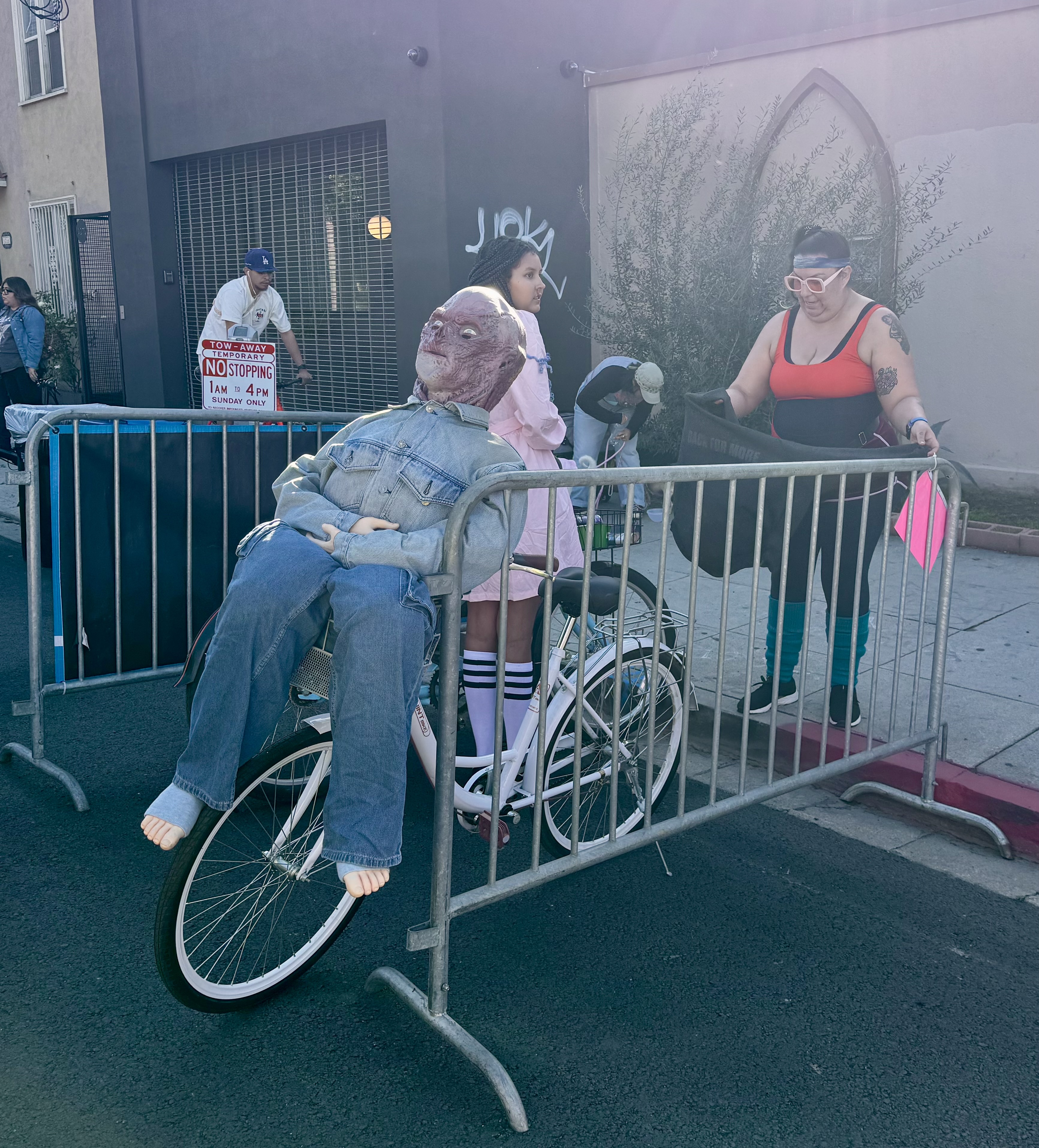
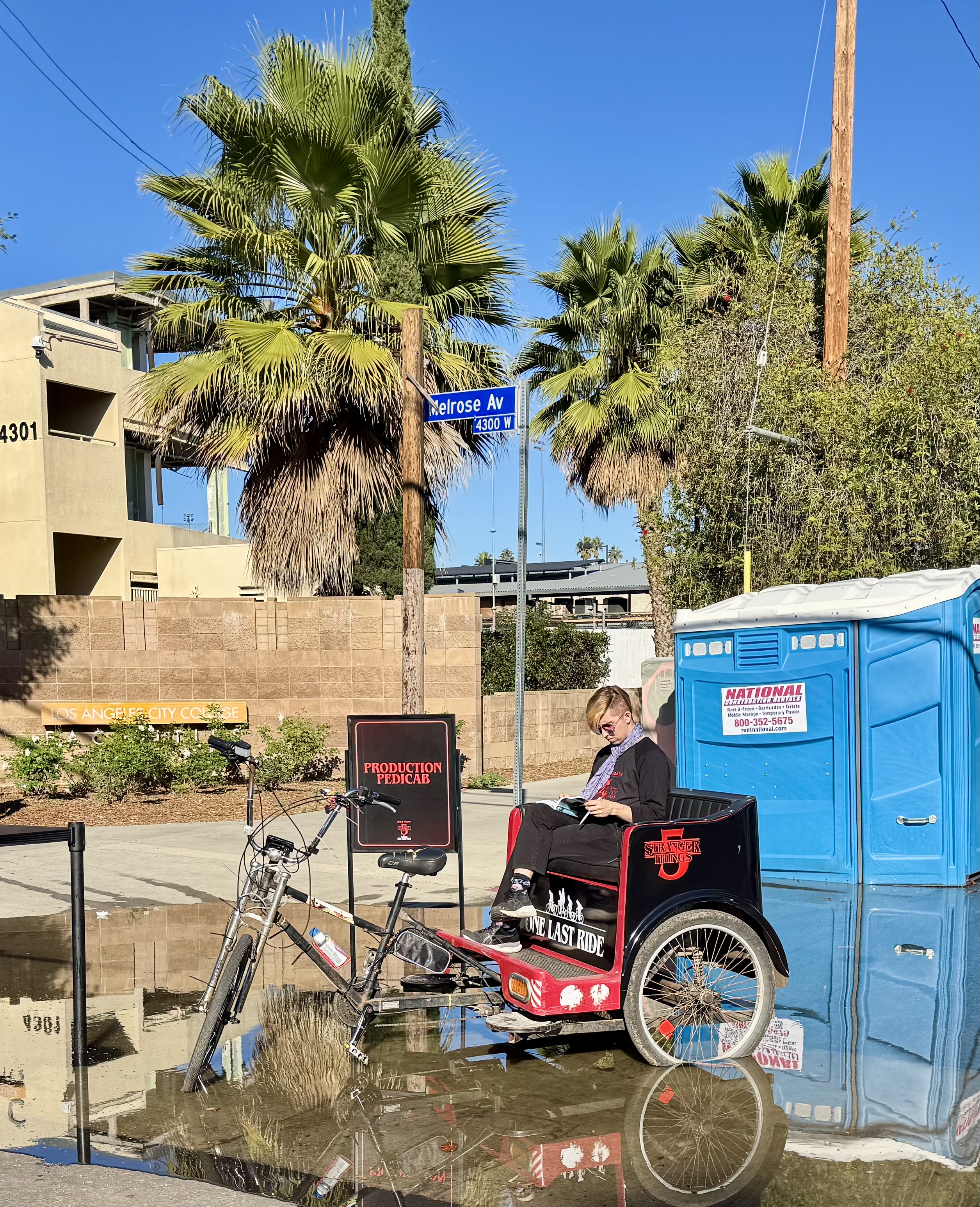
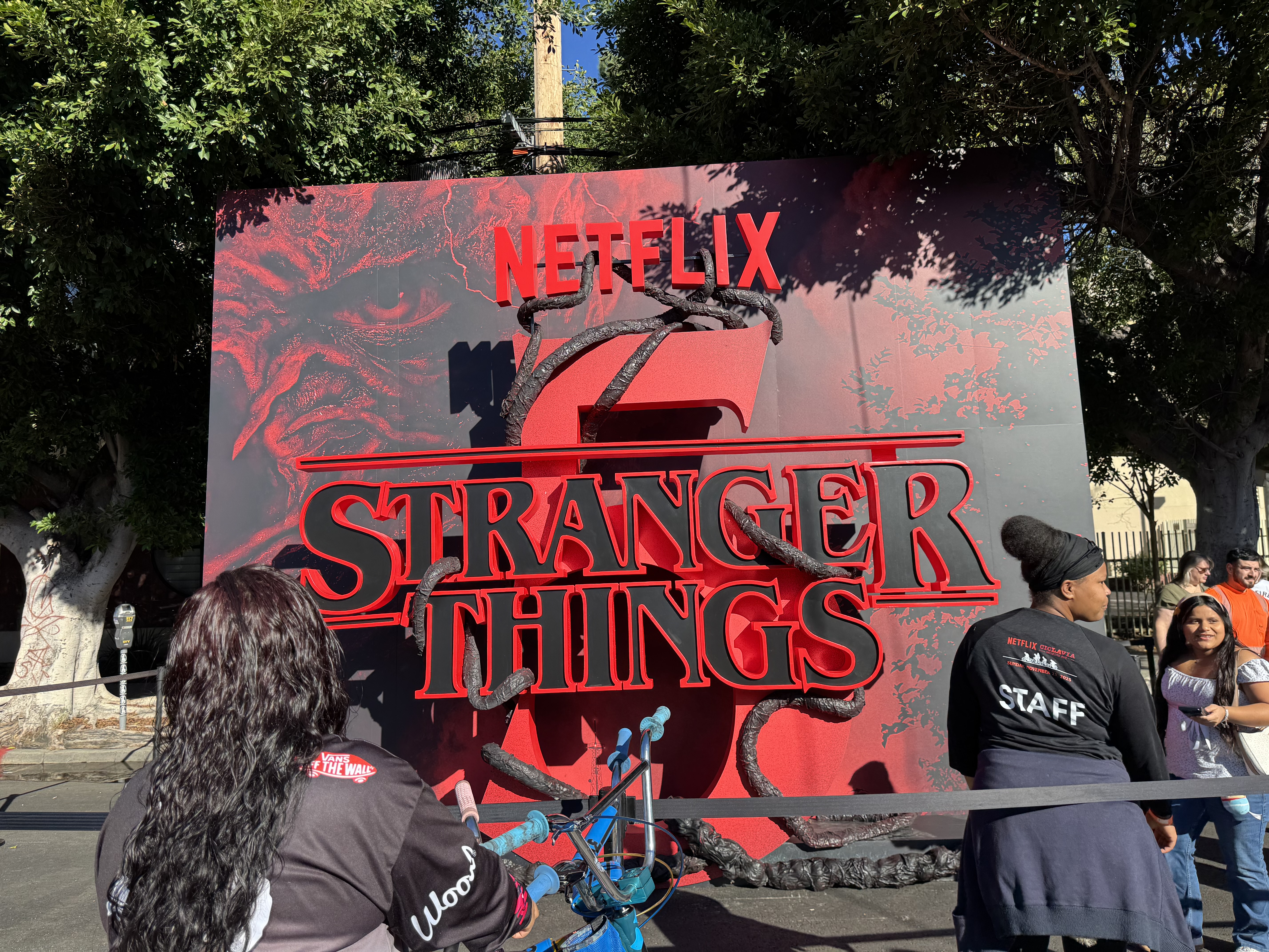
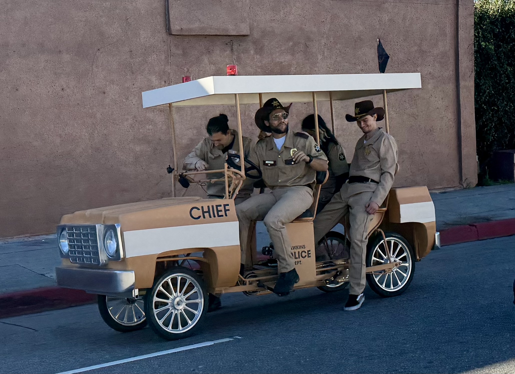
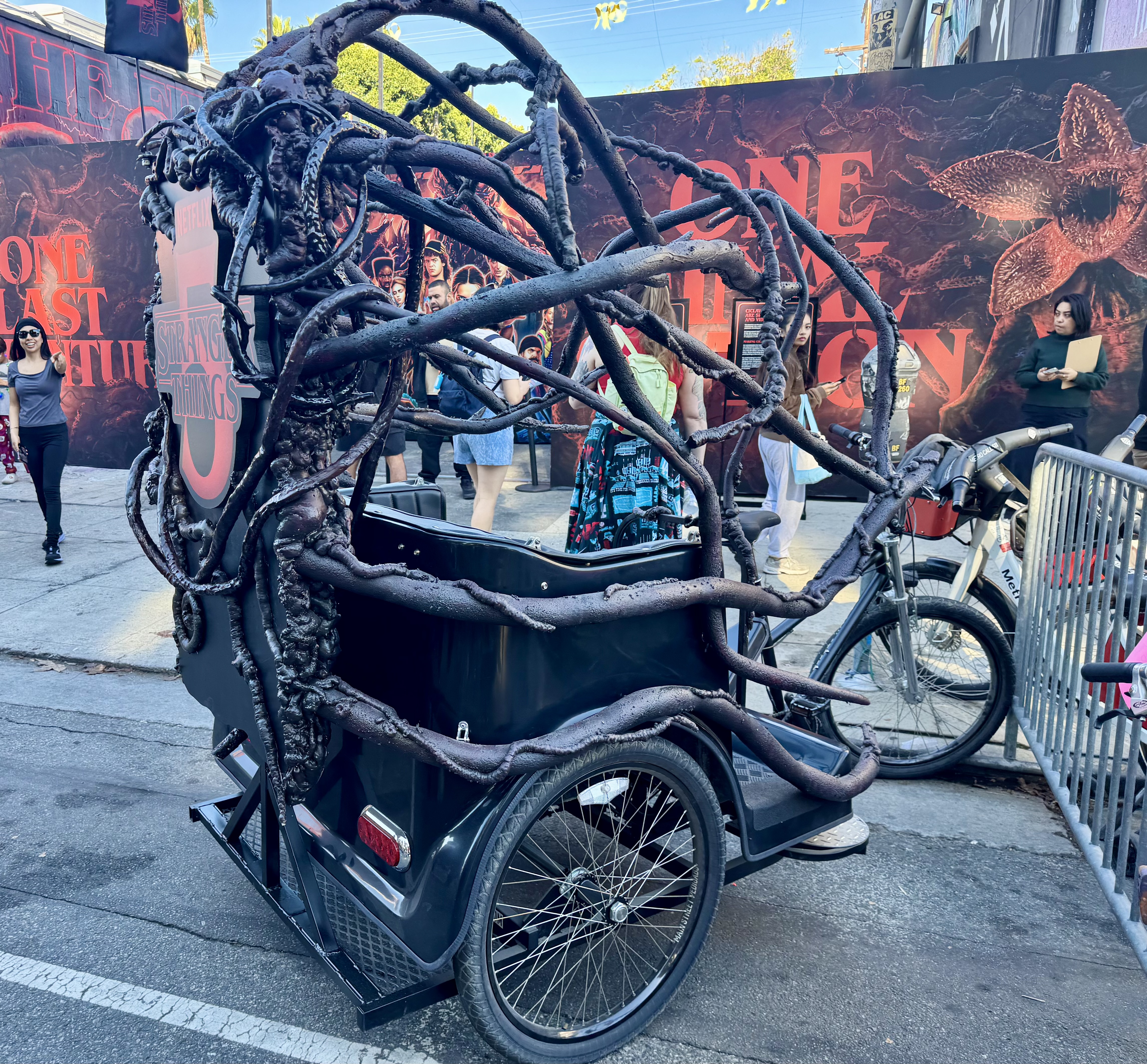
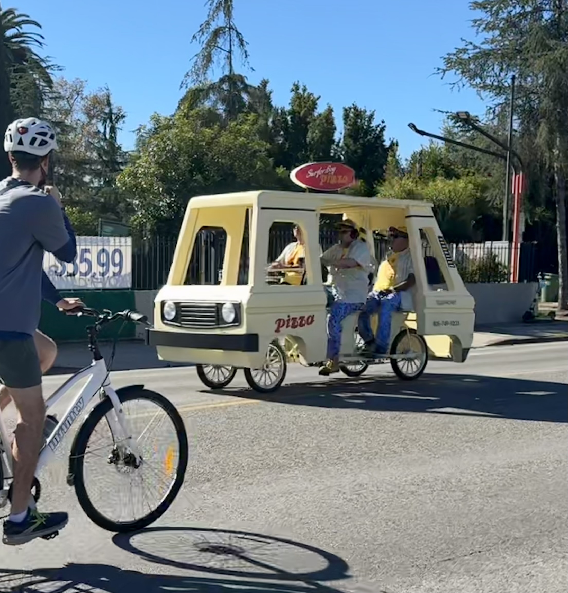
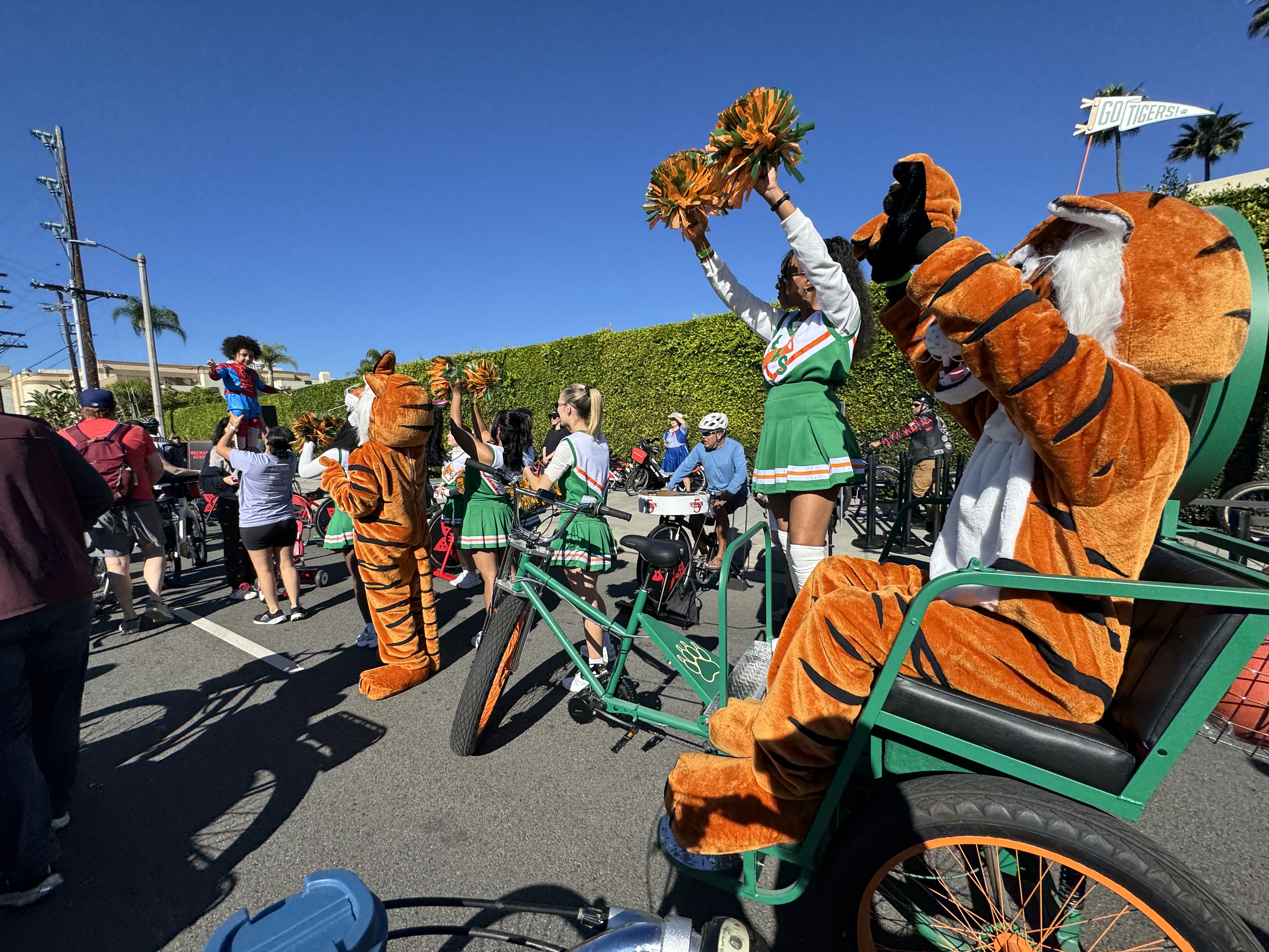
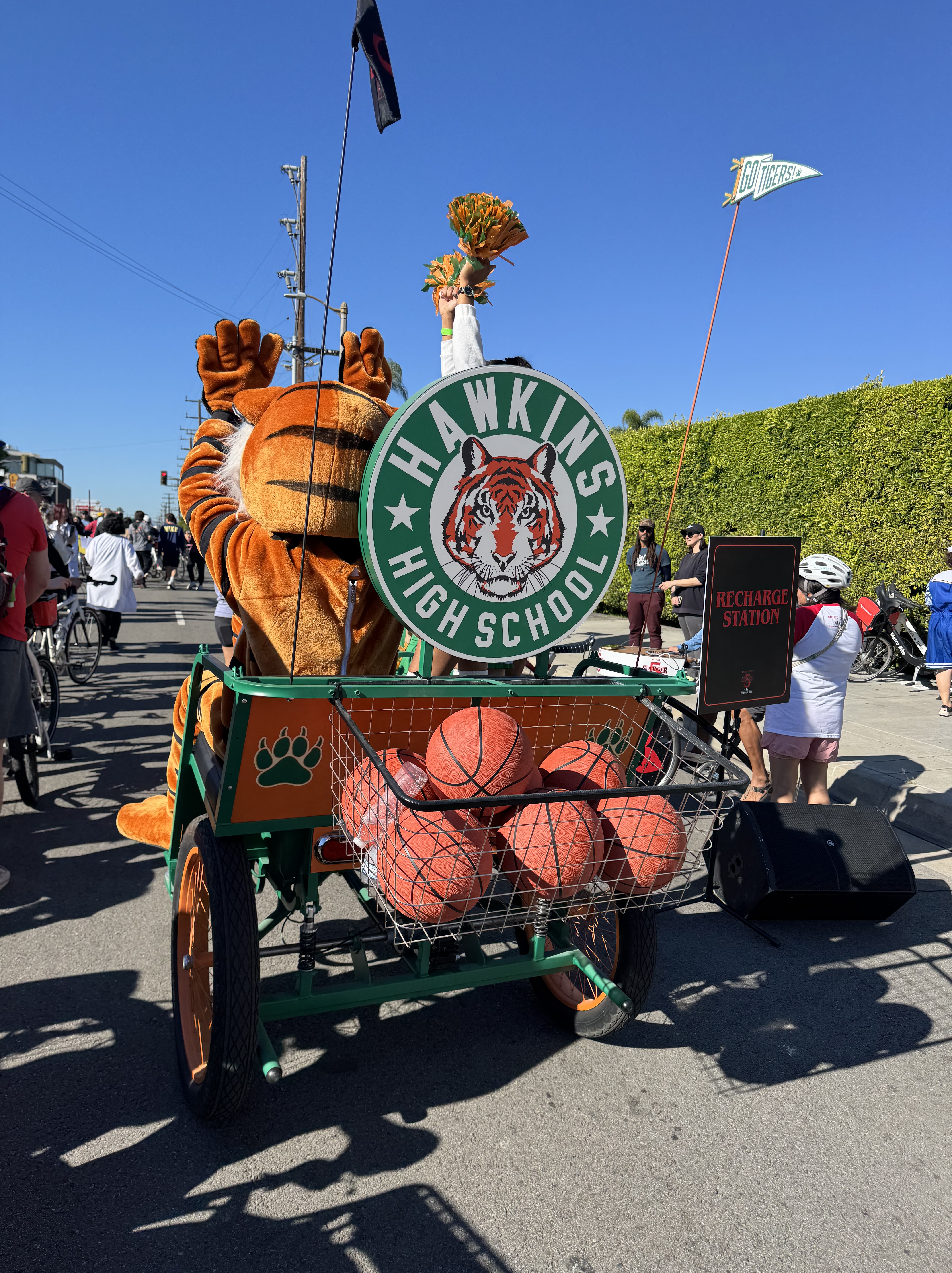
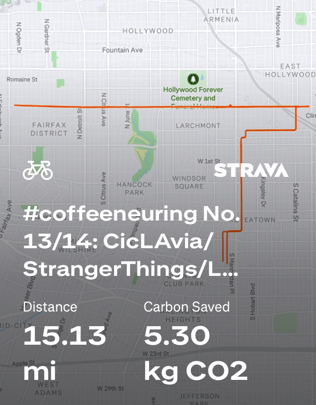
The Sunday of opening weekend of Coffeeneuring season included a CicLAvia (open streets) event. It seemed fitting then that the closing weekend also featured a CicLAvia event, this one along Melrose Ave in Hollywood. The event had originally been schedule for December 7th, but it got moved up to November 23rd to align with the release of the final season of Stranger Things. Why? You may be wondering. Well, funding for these popular open streets events has been threatened, and apparently Metro found a sponsor in Netflix. I have to say, Netflix played it up quite well. There were many characters from Stranger Things all along the route, from El in her surgical gown with black stuff oozing out of a nostril to the cheerleaders of Hawkins High School, and even creatures from the upside down.
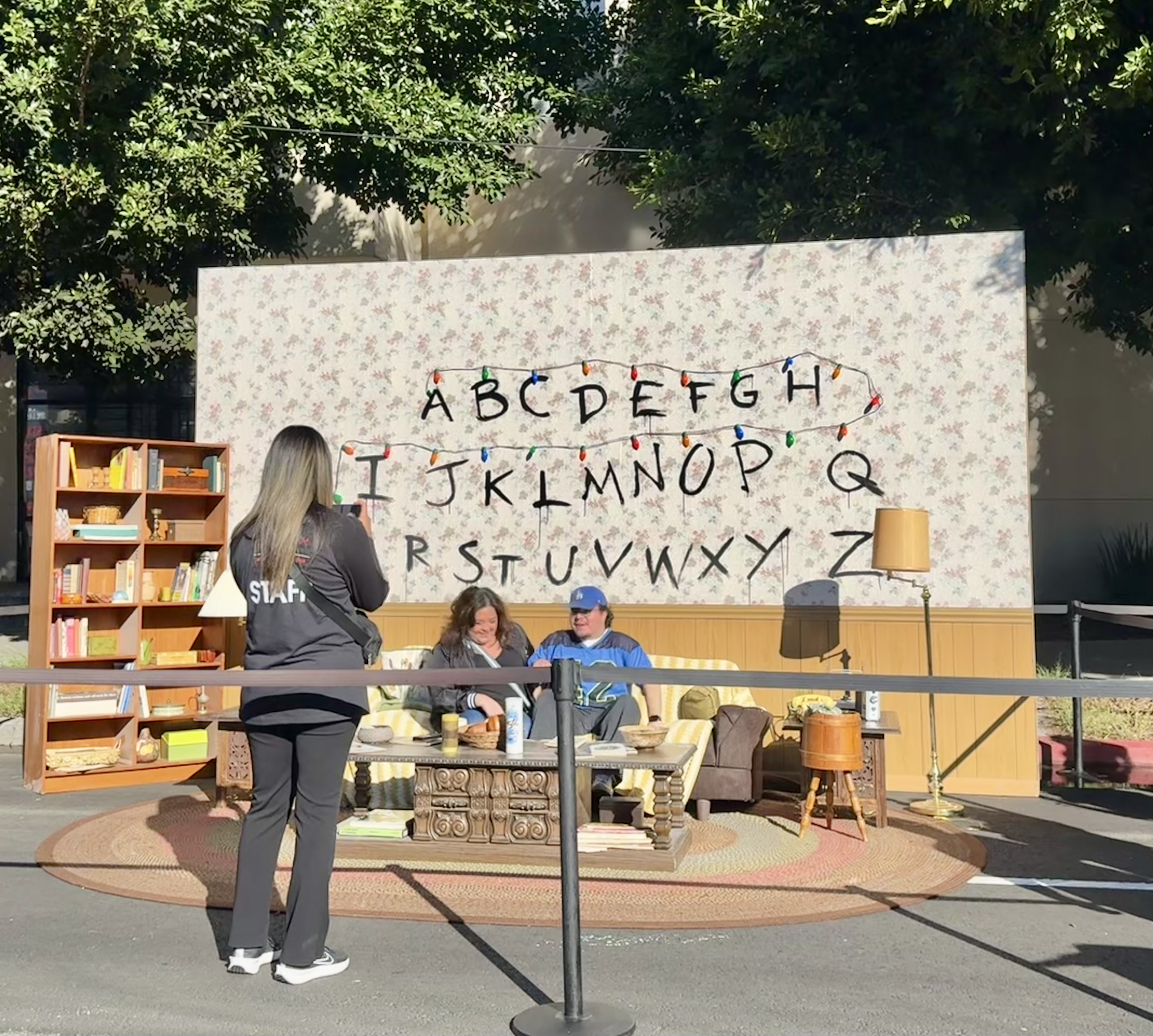
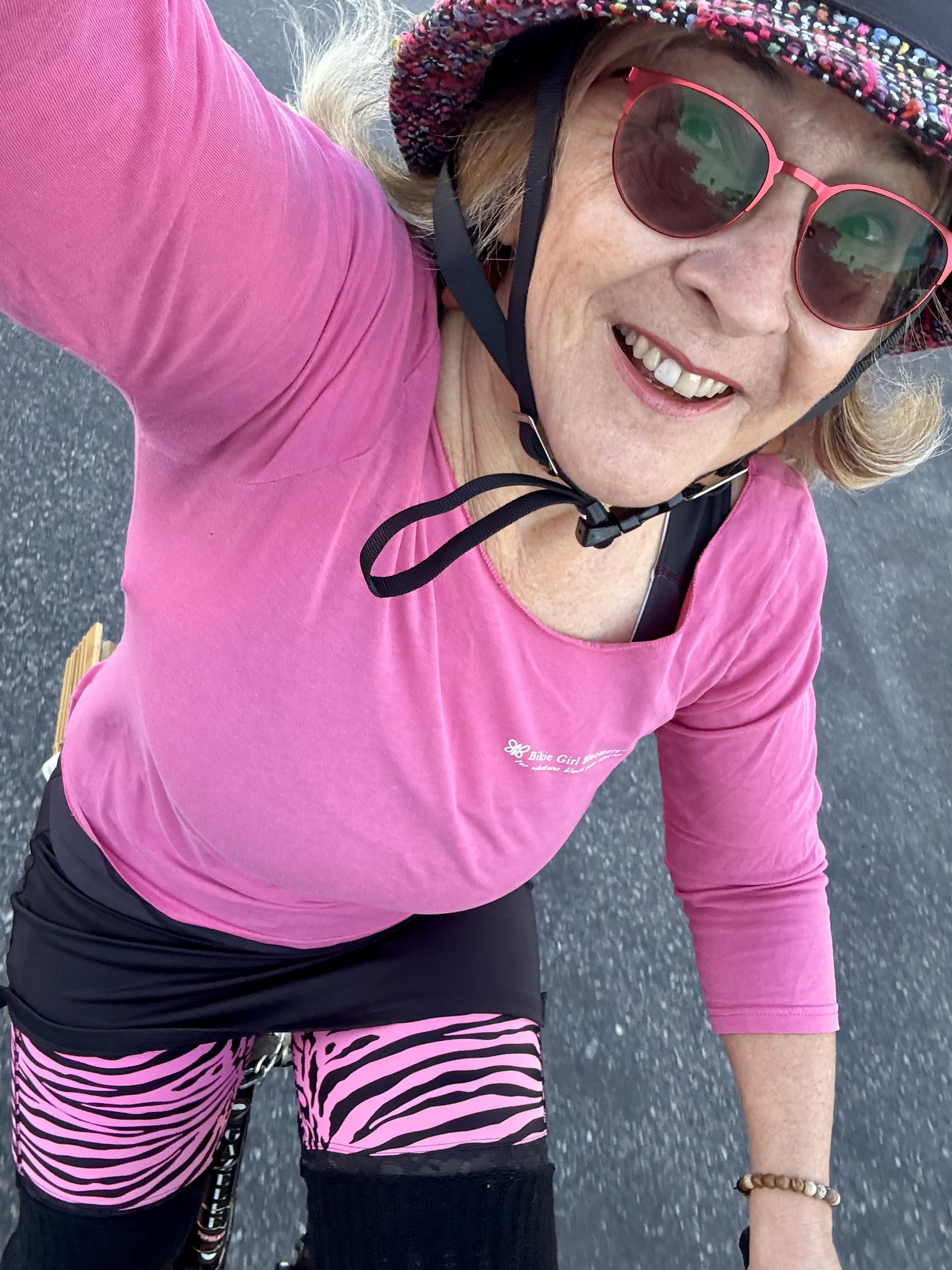
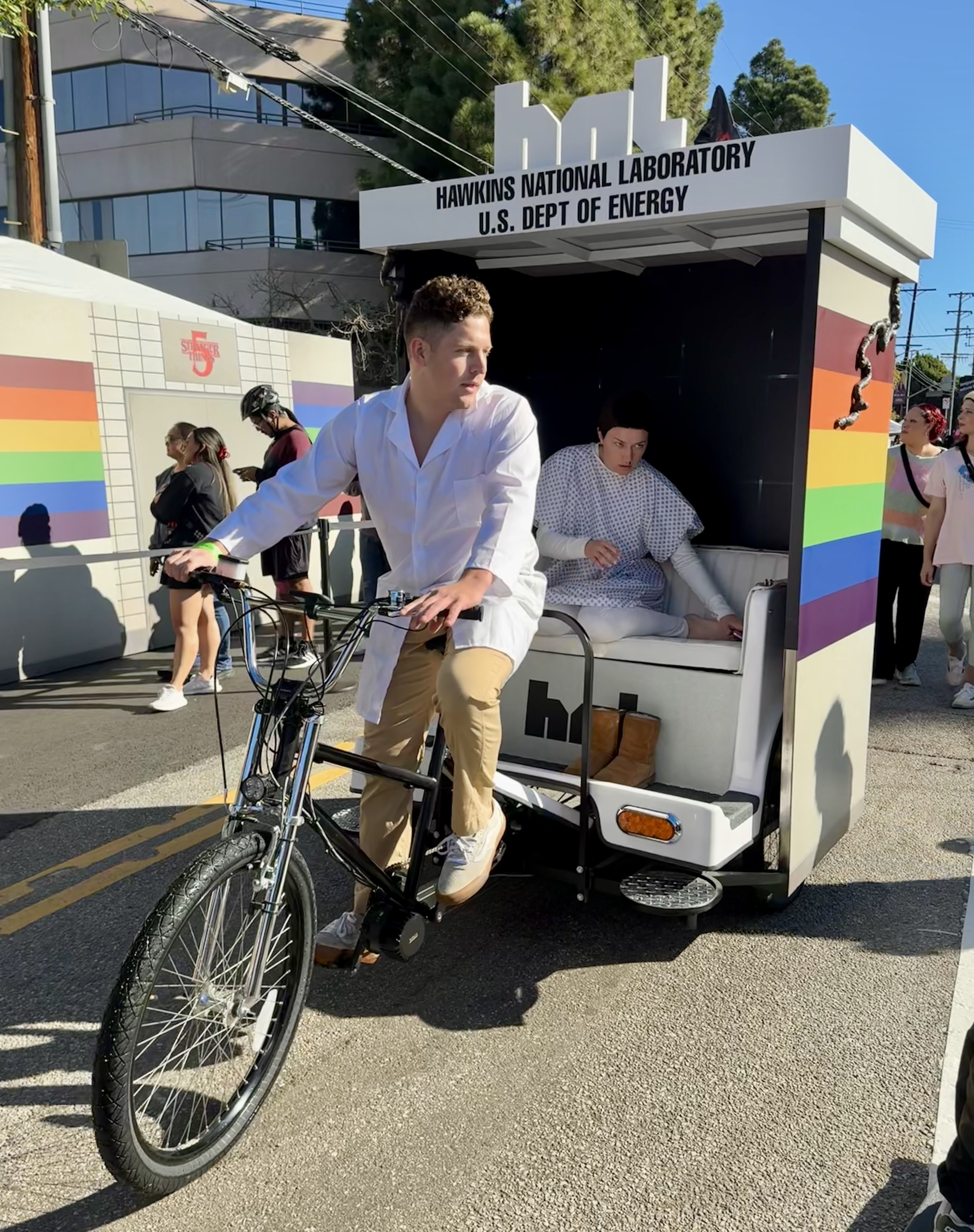

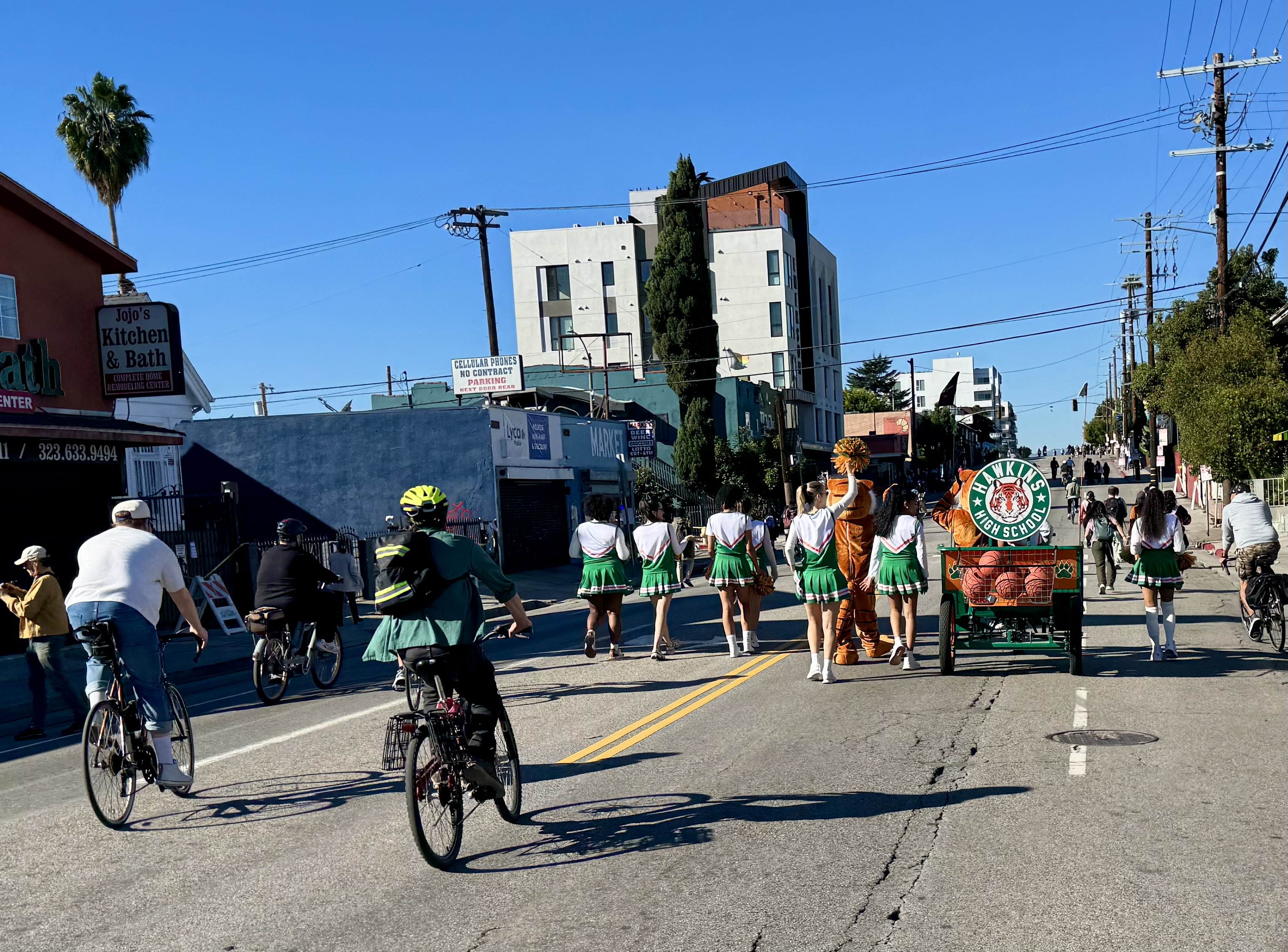
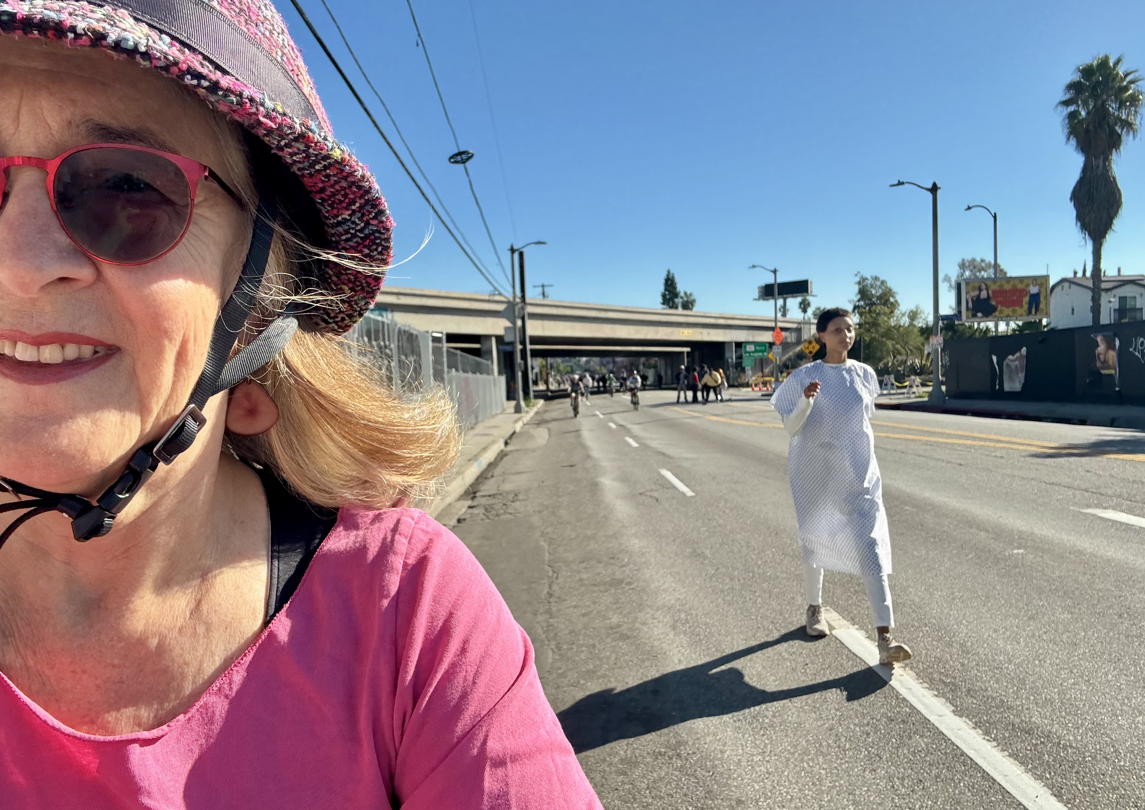
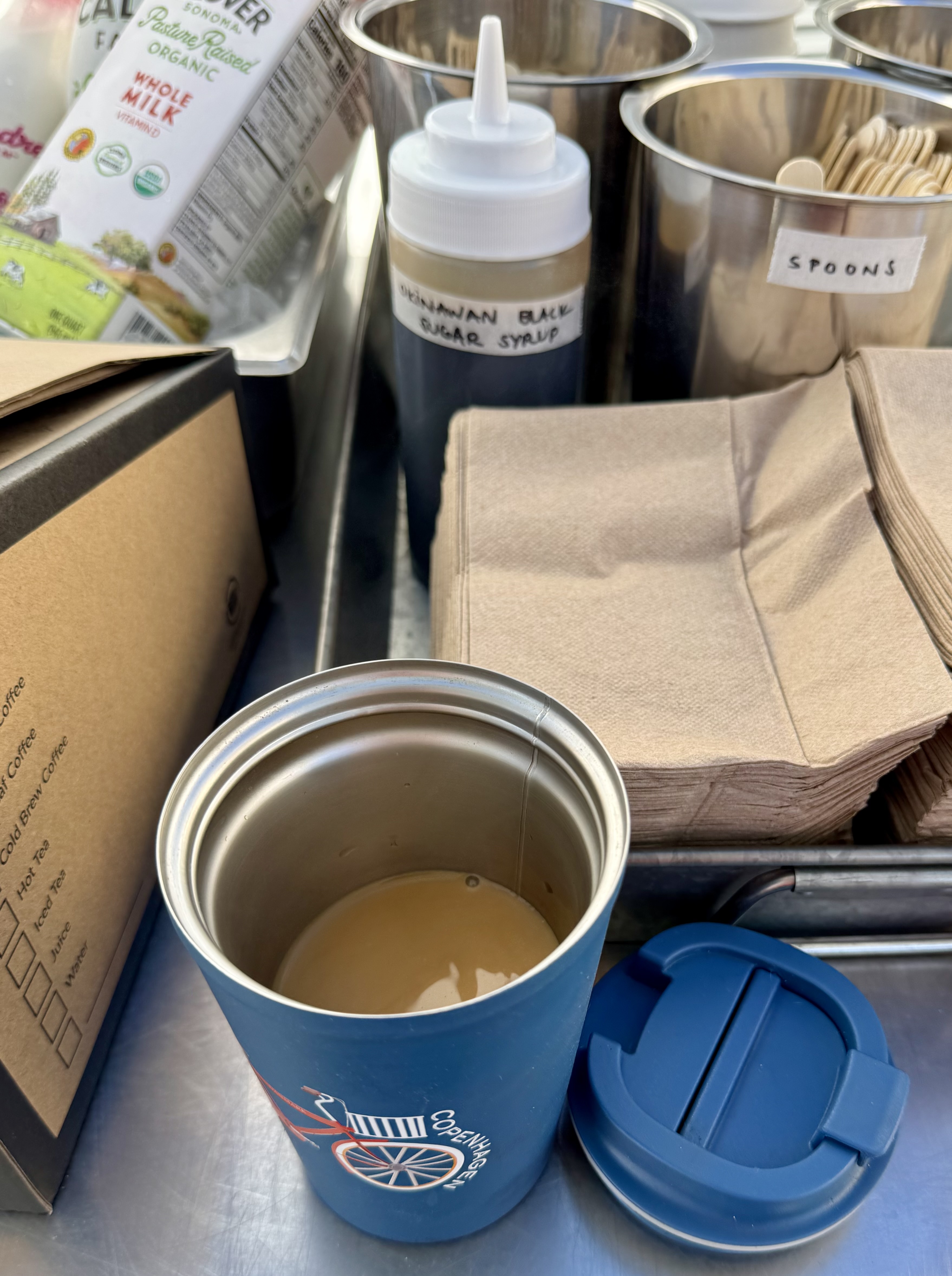
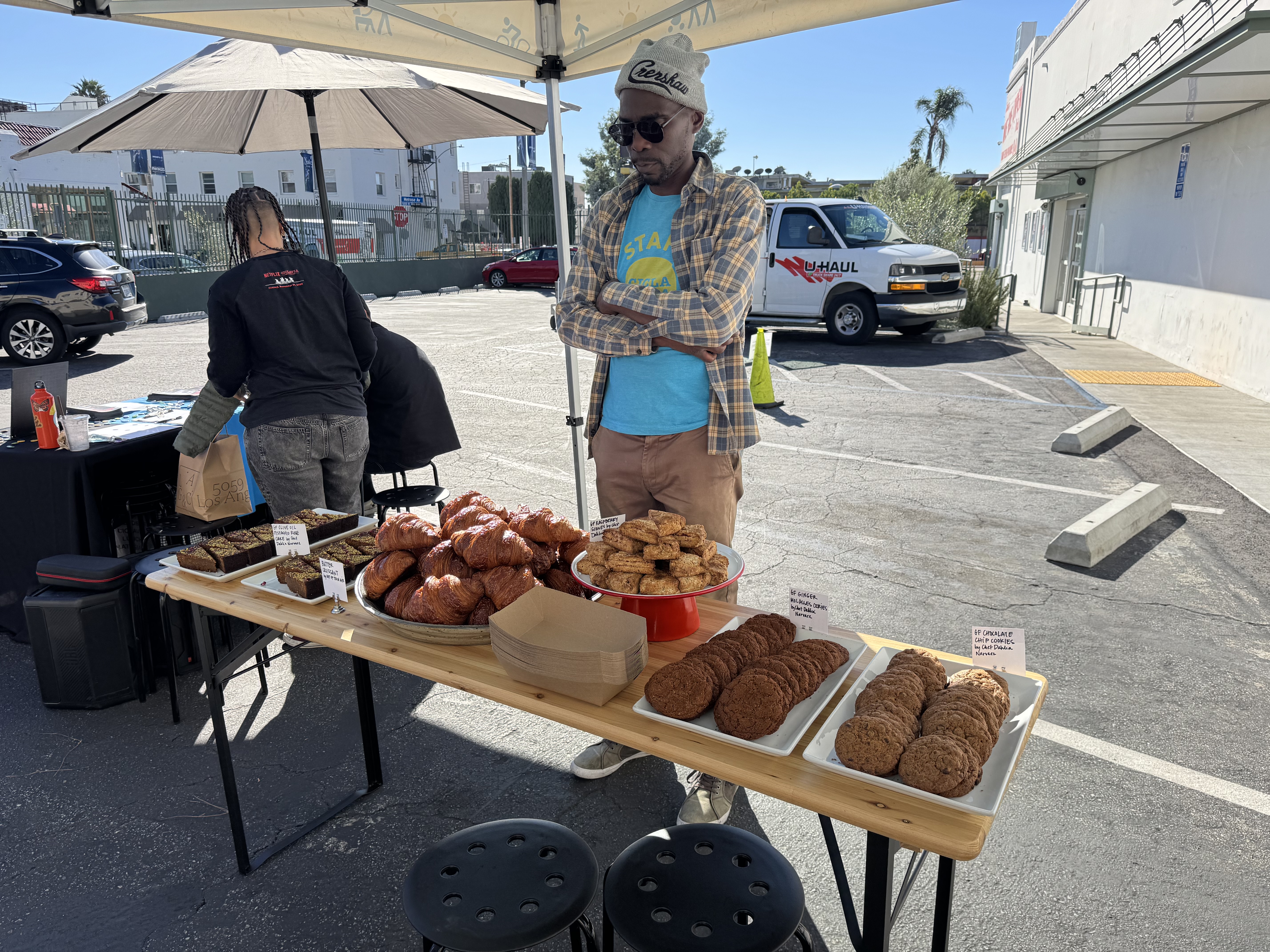
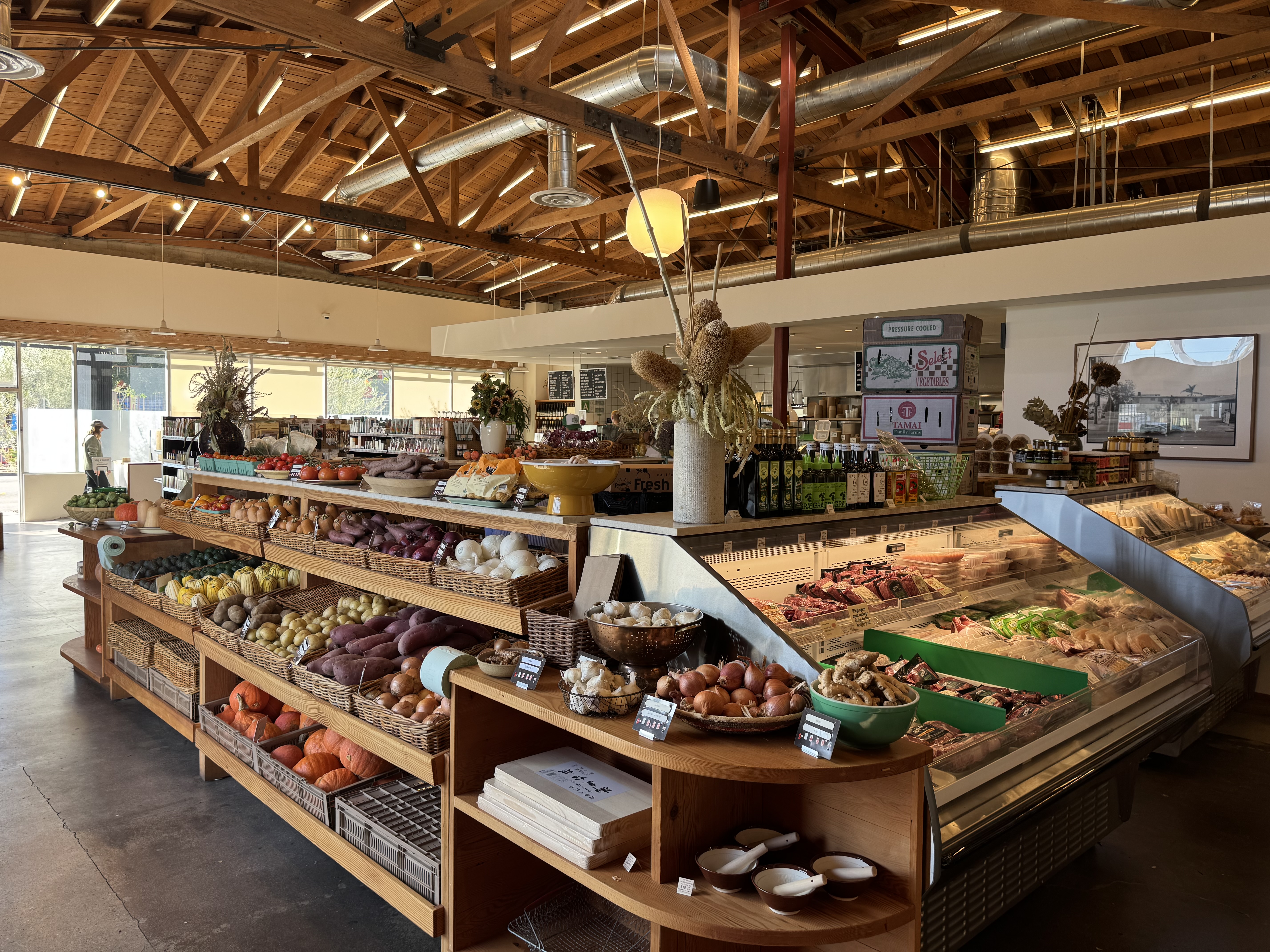
I dressed for the occasion in the closest thing I had to 80’s attire: hot pink boat neck shirt, my hot pink zebra bloomers, a black skirt, and black leg warmers. I got onto the route at the east end and headed west along Melrose. My first stop was at L.A. Grocery, where those of us who support CicLAvia with monthly donations (“Street Stars”) had been invited for coffee and goodies. I poured some coffee from the big box into my reusable travel cup and added some Okinawan black sugar syrup just because I was so intrigued by the name of it. To go with that, I had a nice flaky croissant. This was my first time visiting L.A. Grocery, a very well manicured market filled with gorgeous fresh produce and an impressive selection of healthy food and eco-friendly household products, plus a prepared foods counter and a seating area.
From there, I kept on rolling, but I split my reported mileage with the remainder of my ride, since I knew I would need to double up today in order to get 15 coffee rides in before the challenge ends on Monday. I chuckled to myself when I realized that I need not fret about violating the rule limiting the number of coffeeneuring rides to one a day or to two in a week. I had already surpassed the 7 required rides, so this was all in the bonus territory. So what if it wasn’t “legal”?!
Control No. 14: 11/23/25 Sweet Corner Coffee & Cakes in Hollywood (Los Angeles)
Beverage: Hot Chocolate (+ apple bar)
Bike: Gazelle Tour Populaire
Bloomers: Hot Pink Zebra
C+1: Lynn
Beauty: Historic architecture
Miles: 10
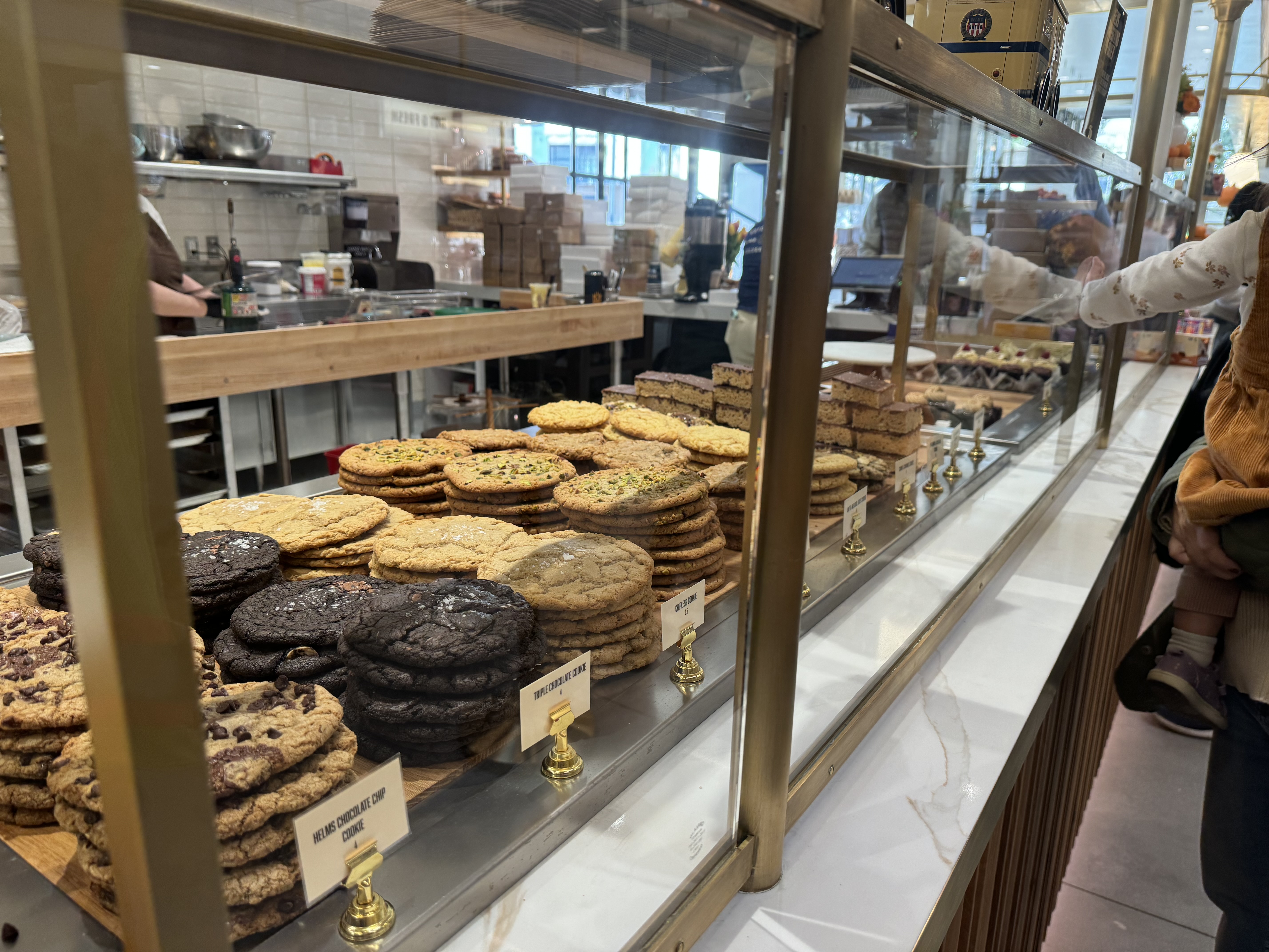
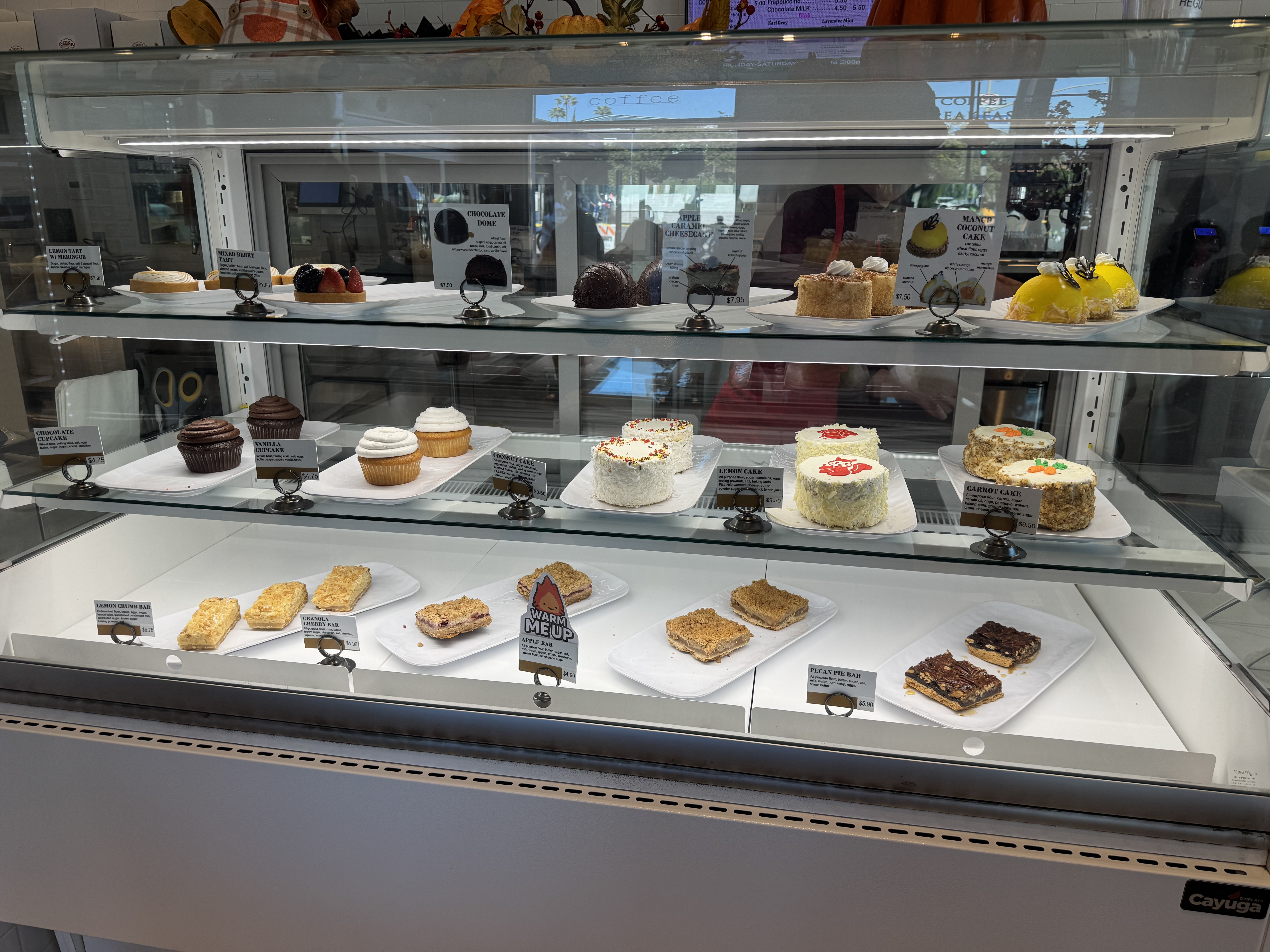
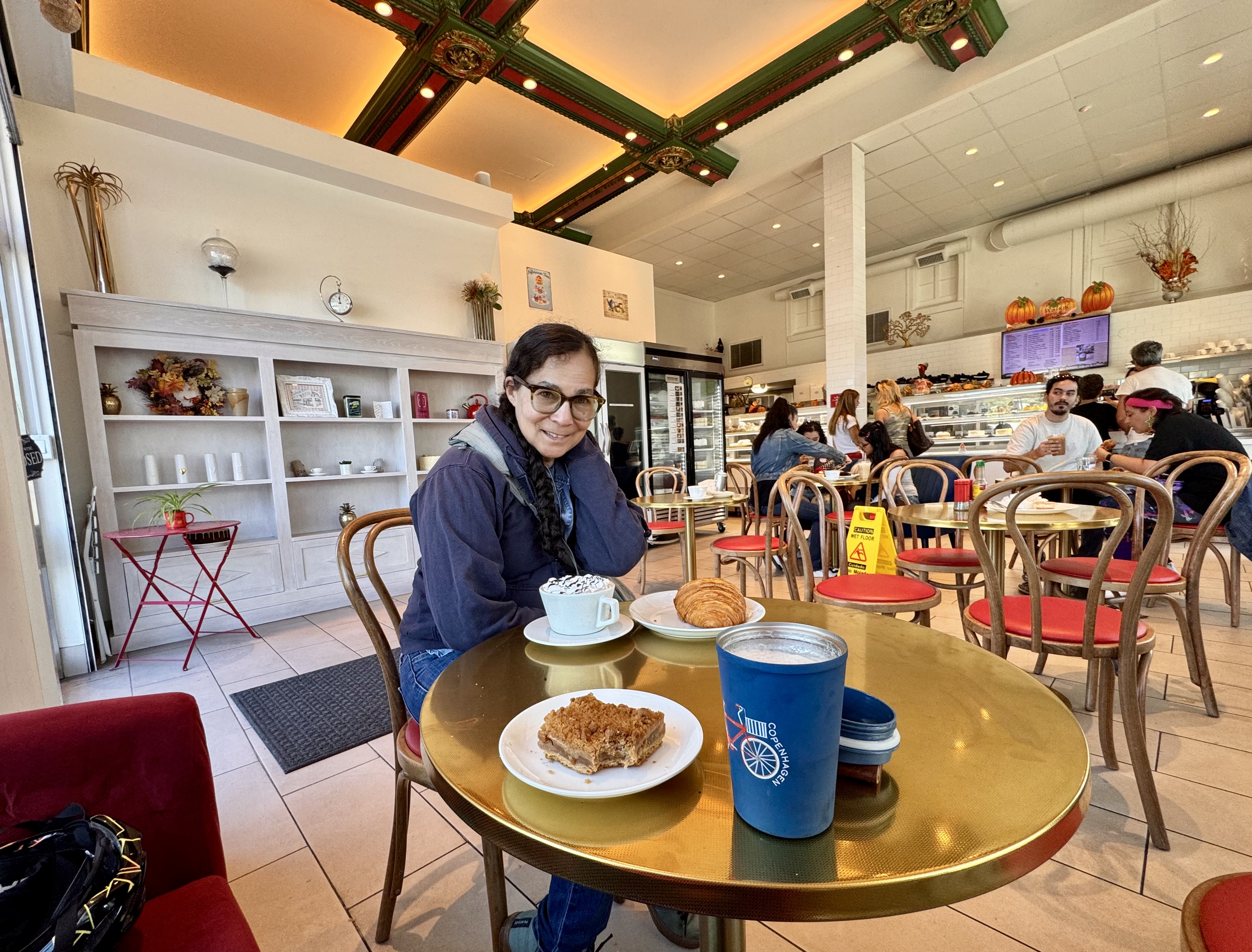
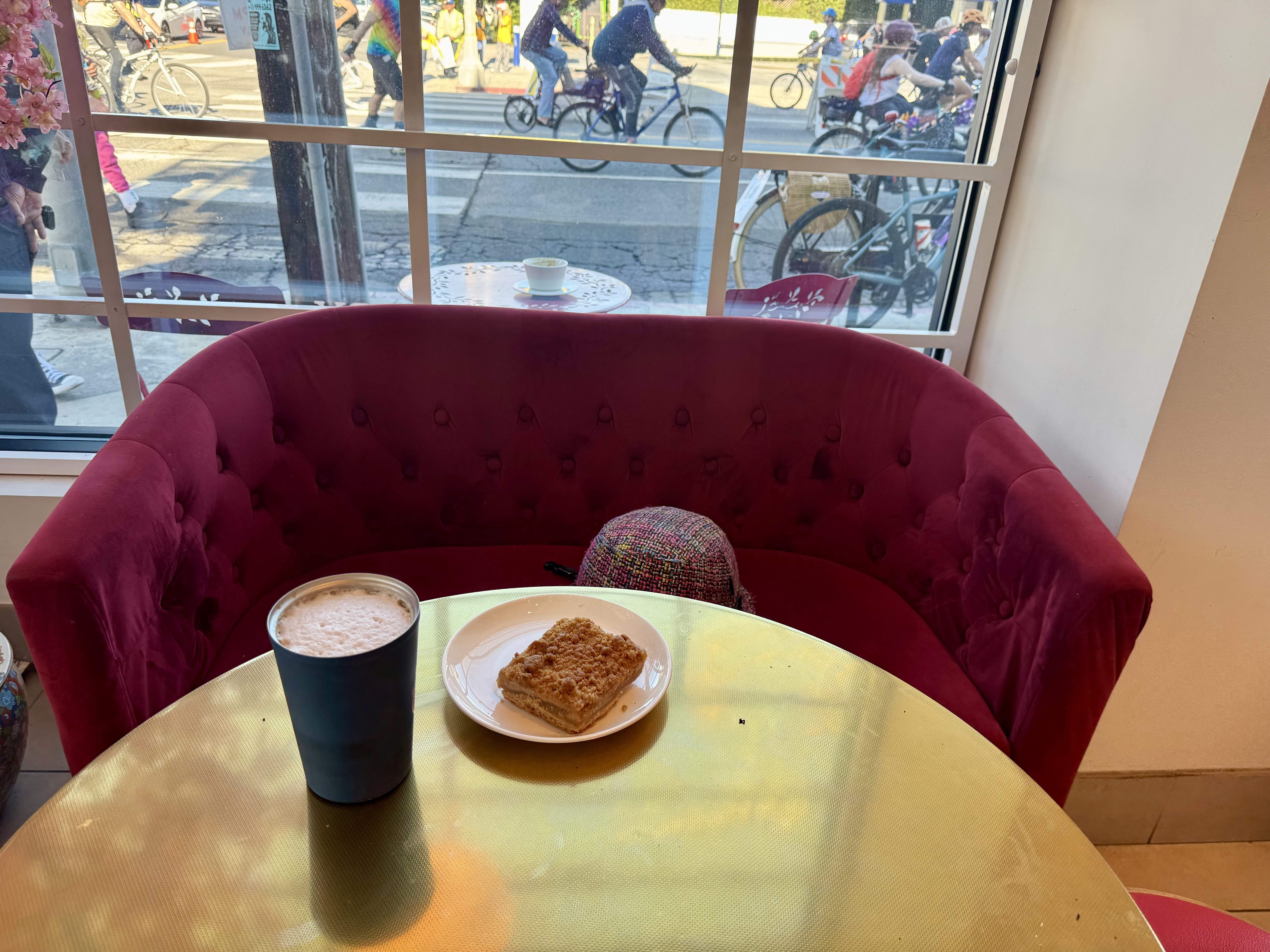
Continuing west on Melrose Ave on this same CicLAvia ride, I rode to the route’s other end at Fairfax, where I was trying to position myself to snap a selfie by the big overhead sign reading “One Last Ride”. Just then, someone was teasing me, and I realized it was my friend Lynn. So we snapped our selfie together, and then rode back toward the east end of the route. I told Lynn that I had long wanted to try the coffee and dessert shop at the corner of Melrose & Wilton, Sweet Corner Coffee & Cakes. That’s another very appealing historic building with great architectural features that I have gone past dozens of times and thought to myself, “I ought to stop there next time I’m coffeeneuring.”
Fortunately, Lynn was game for trying this place with me, so we parked our bikes out front and went on in. The pastry case was an impressive display of cakes and goodies. I opted for hot chocolate as my beverage, plus an apple bar for my treat. The goodies did not disappoint. And I got to sit on a cute little red couch by the front window.

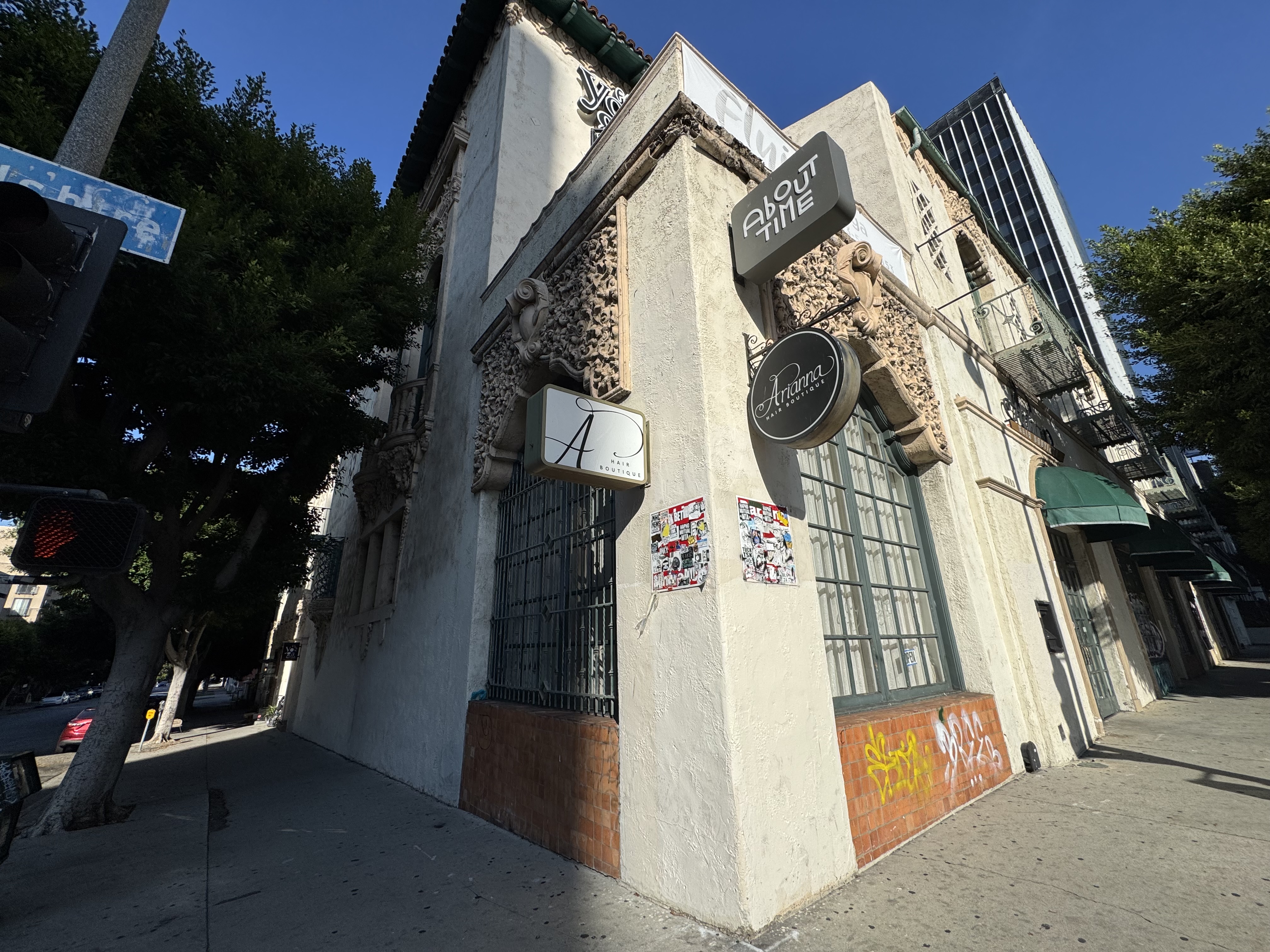
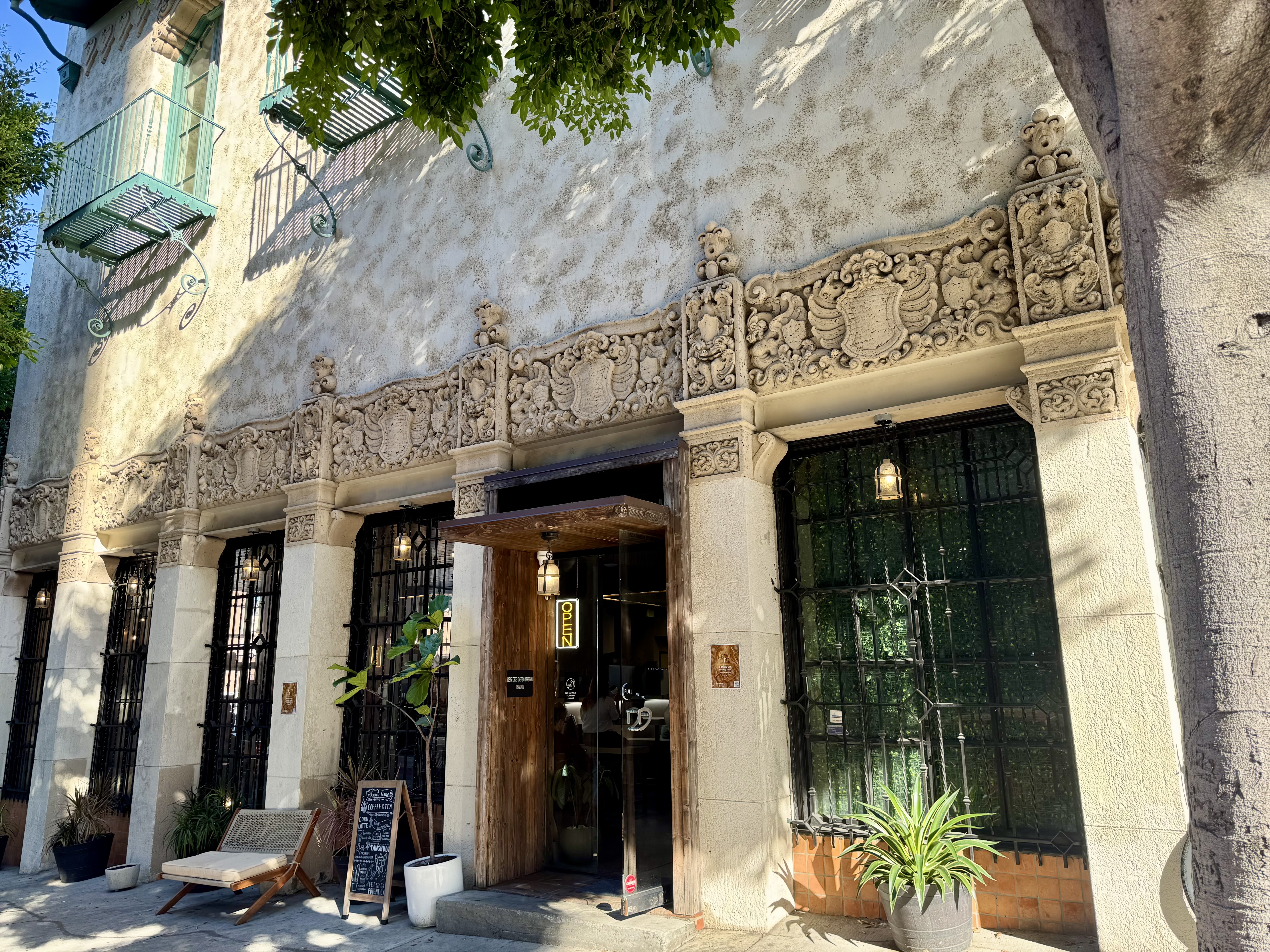
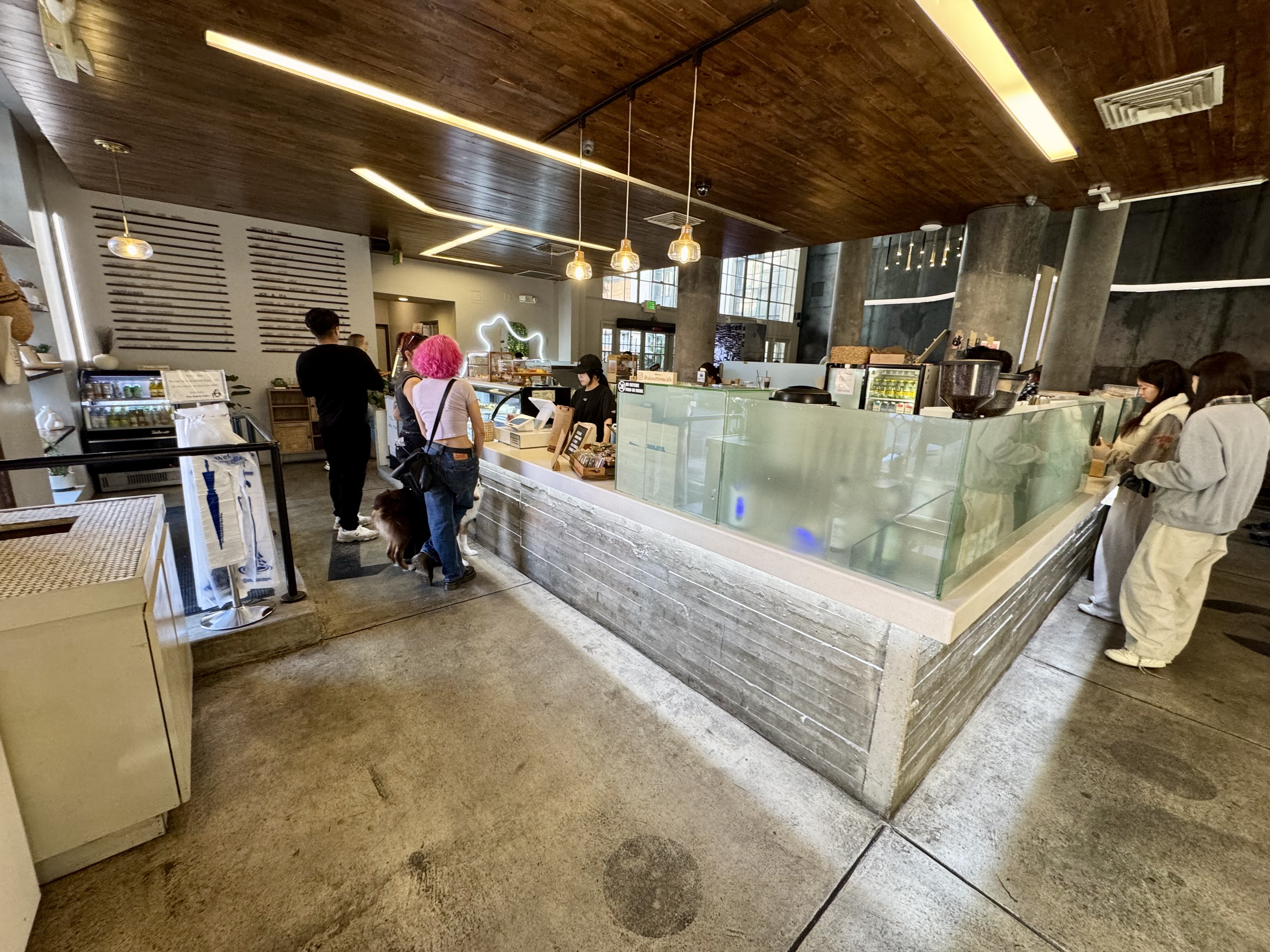
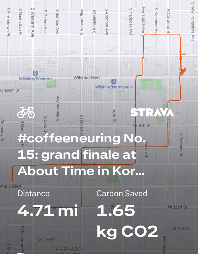
Control No. 15: 11/24/25 About Time in Koreatown (Los Angeles)
Beverage: Pistacchio Latte (+ almond croissant)
Bike: Brompton
Bloomers: Smokin Hot Flame
C+1: El Cochinito
Beauty: Historic architecture & modern interior
Miles: 4.7
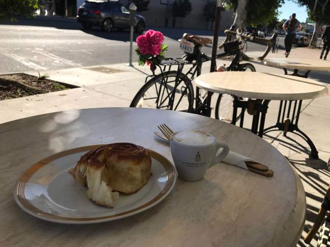
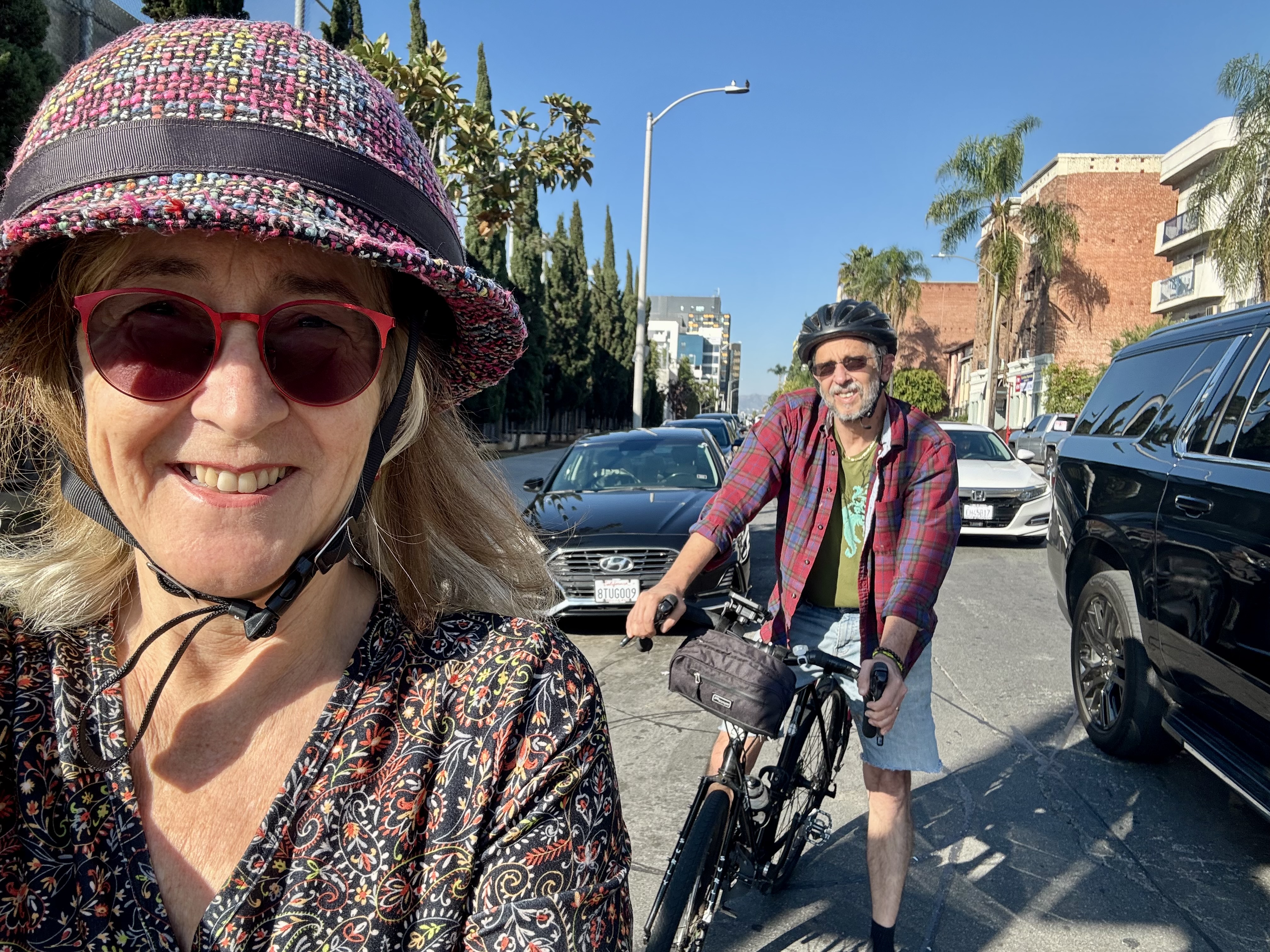
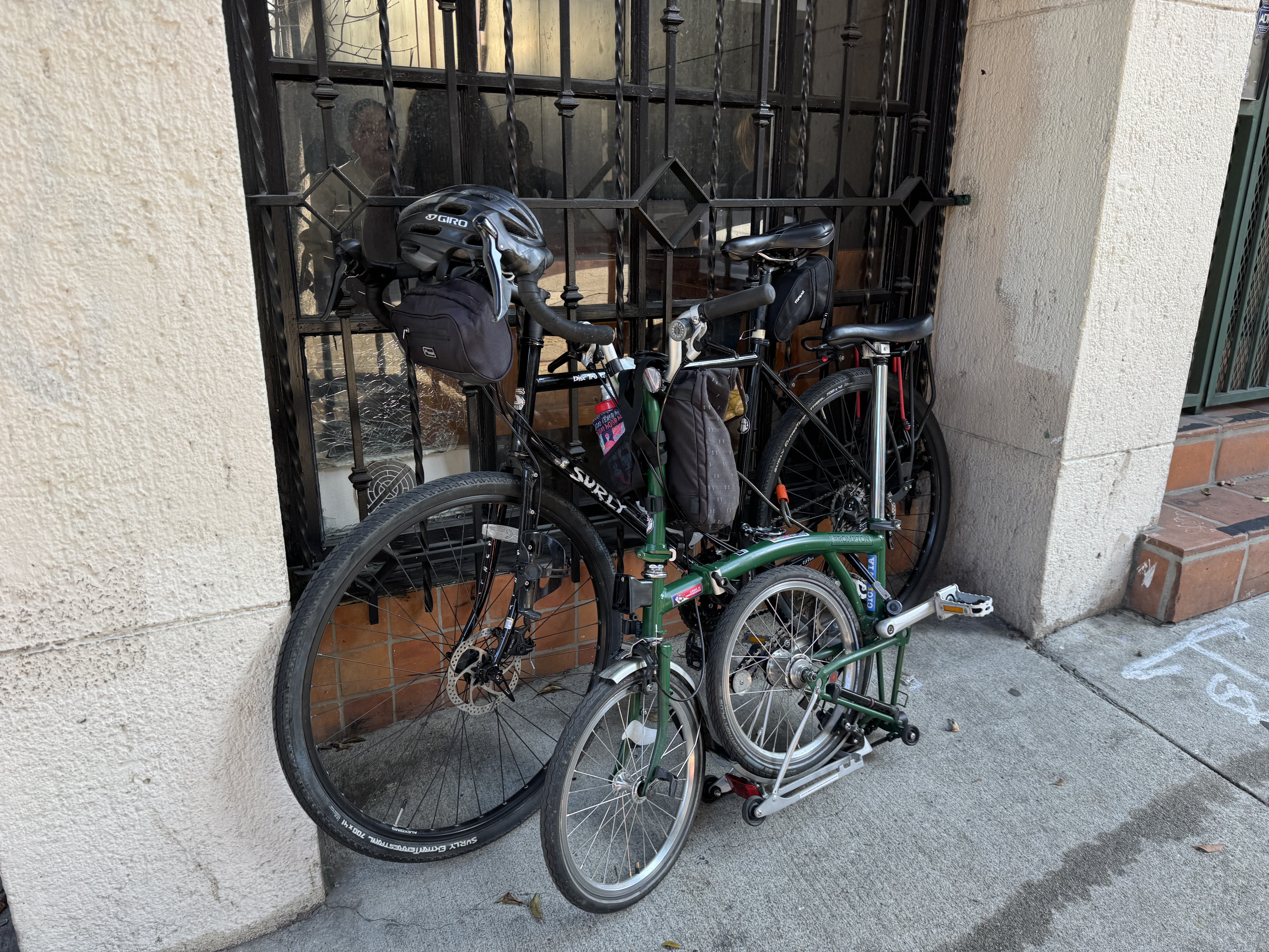
It was down to the last day of the challenge (although the Chief Coffeeneur had just announced an extension of the deadline by a few days). It was a Monday, and my teacher-husband had the week off from school due to the Thanksgiving holiday. I had spent the morning doing more house cleaning in preparation for our kids coming into town for Thanksgiving. I told him I needed a break, and there was a coffee shop not far away, in Koreatown, that had been on the list of beautiful coffee shops, and that I wanted to give it a try on this last day of the challenge. He decided to join me, so we hopped on our bikes and rolled on over. First we stopped at the office building where I needed to check the mail, and then we were just a few blocks from About Time, our coffee destination.
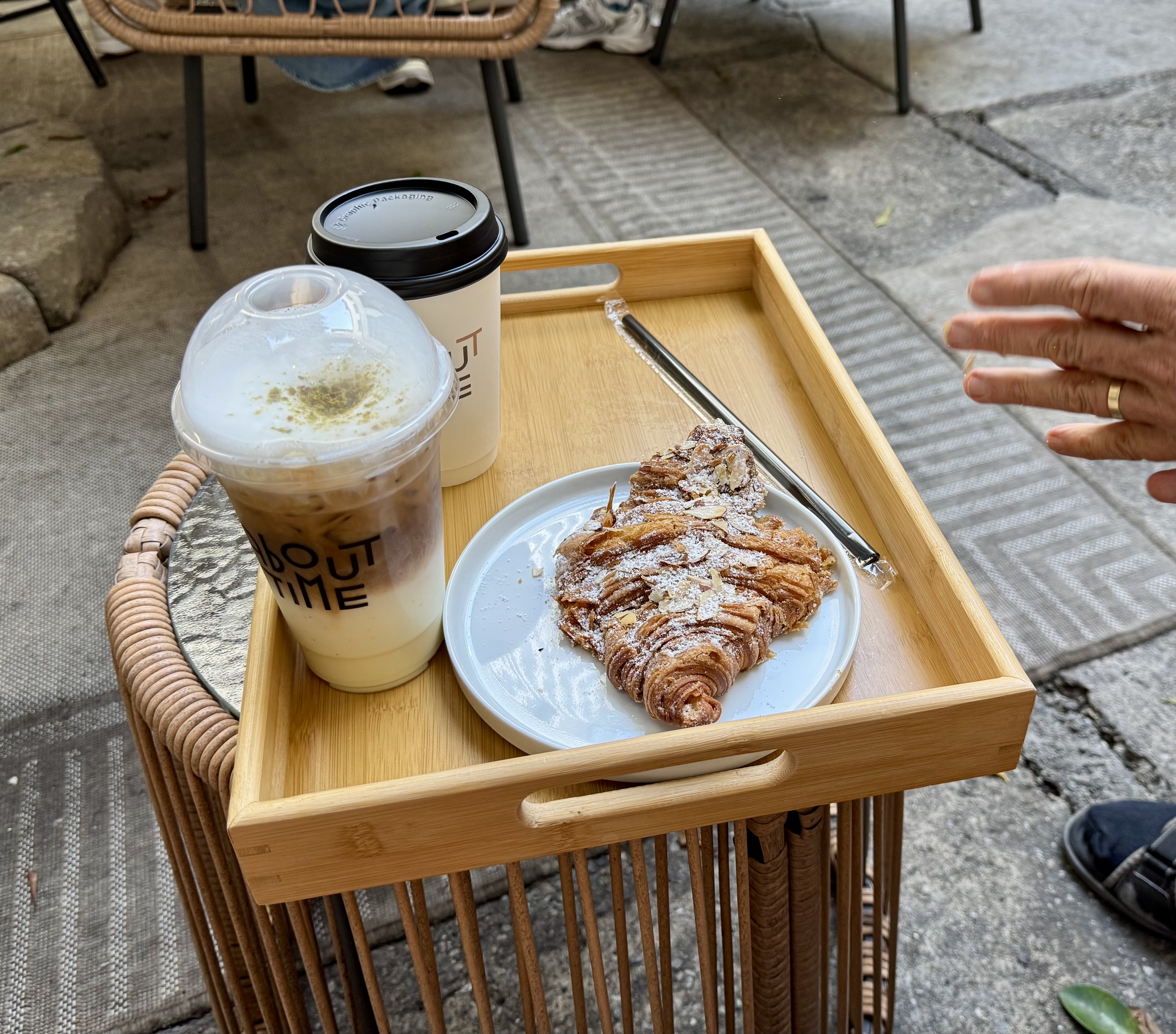
It’s an extraordinary place, both inside and out. The exterior features an ornate, historical facade. The interior is spacious and filled with chic, modern decor. There is a lot of indoor seating, although much of it appears to be taken up by folks who set up their laptops and spend the day there. The menu is a bit overwhelming and rather pricey. I treated myself to a pistachio latte ($9) and El Cochinito had a mocha ($8), and we shared an almond croissant. We found a place to sit on the patio that takes up a portion of the buildings courtyard. Most of the courtyard looks rather industrial and sadly neglected, but the portion About Time uses is set up rather attractively with umbrellas and bamboo furniture.
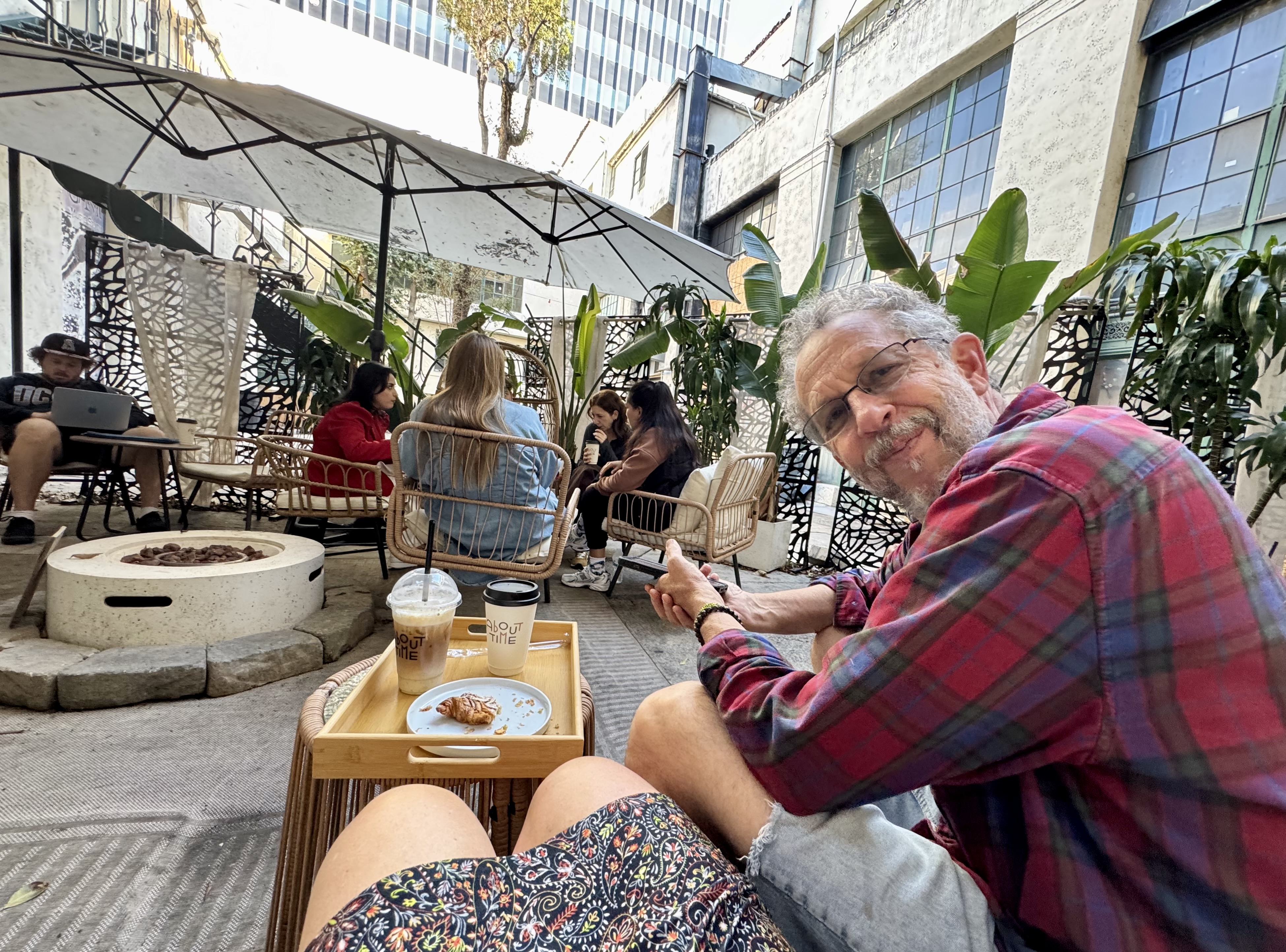
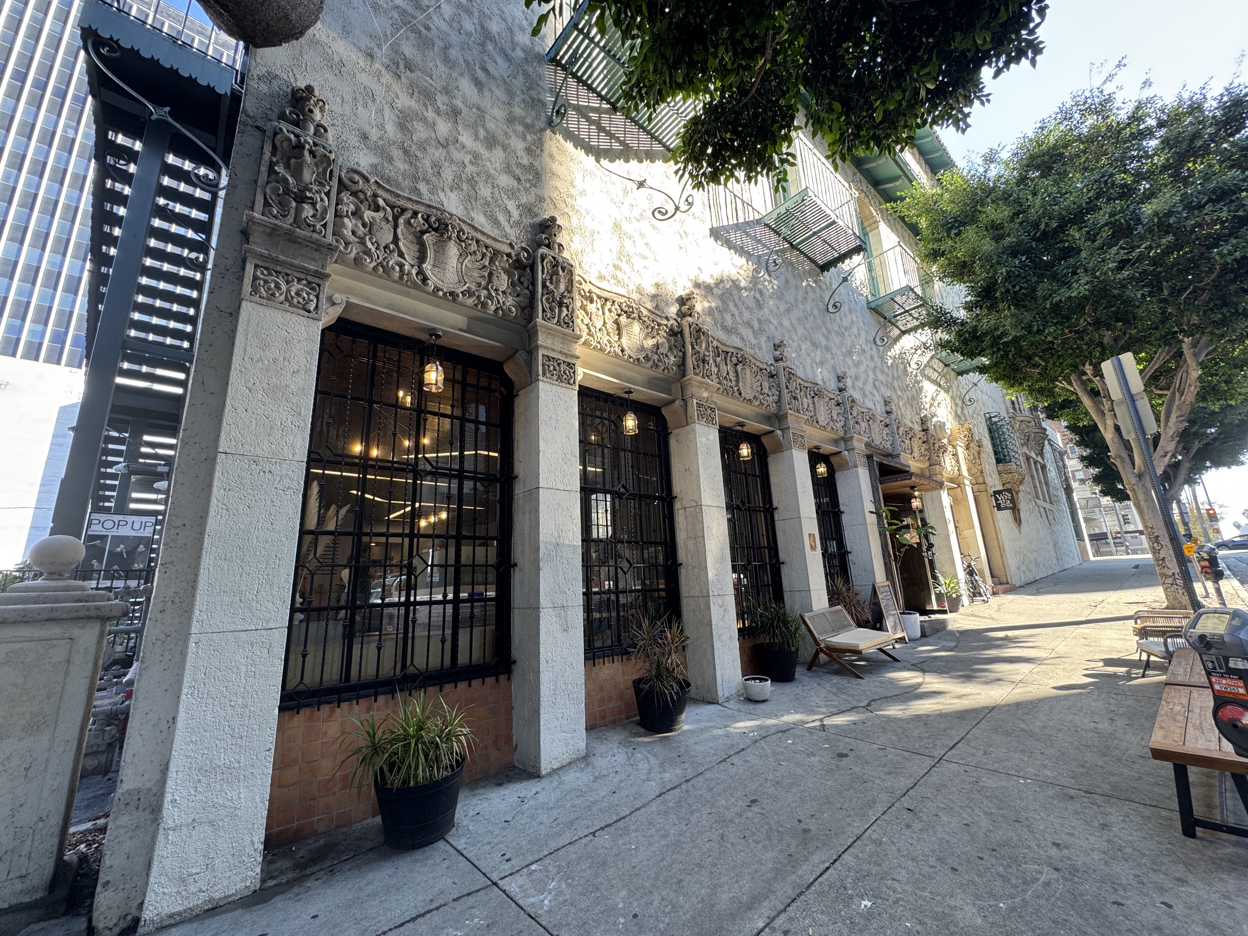
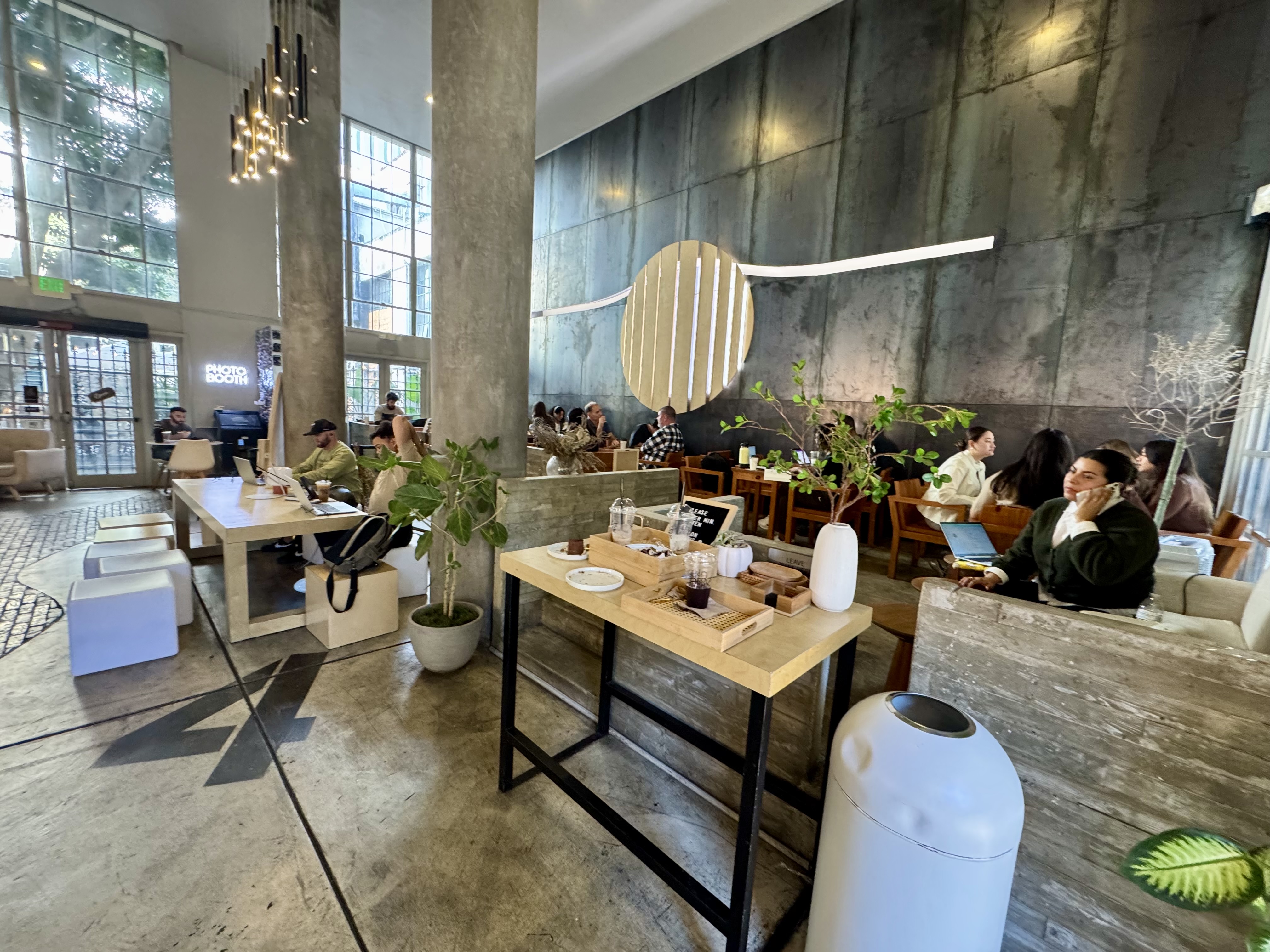
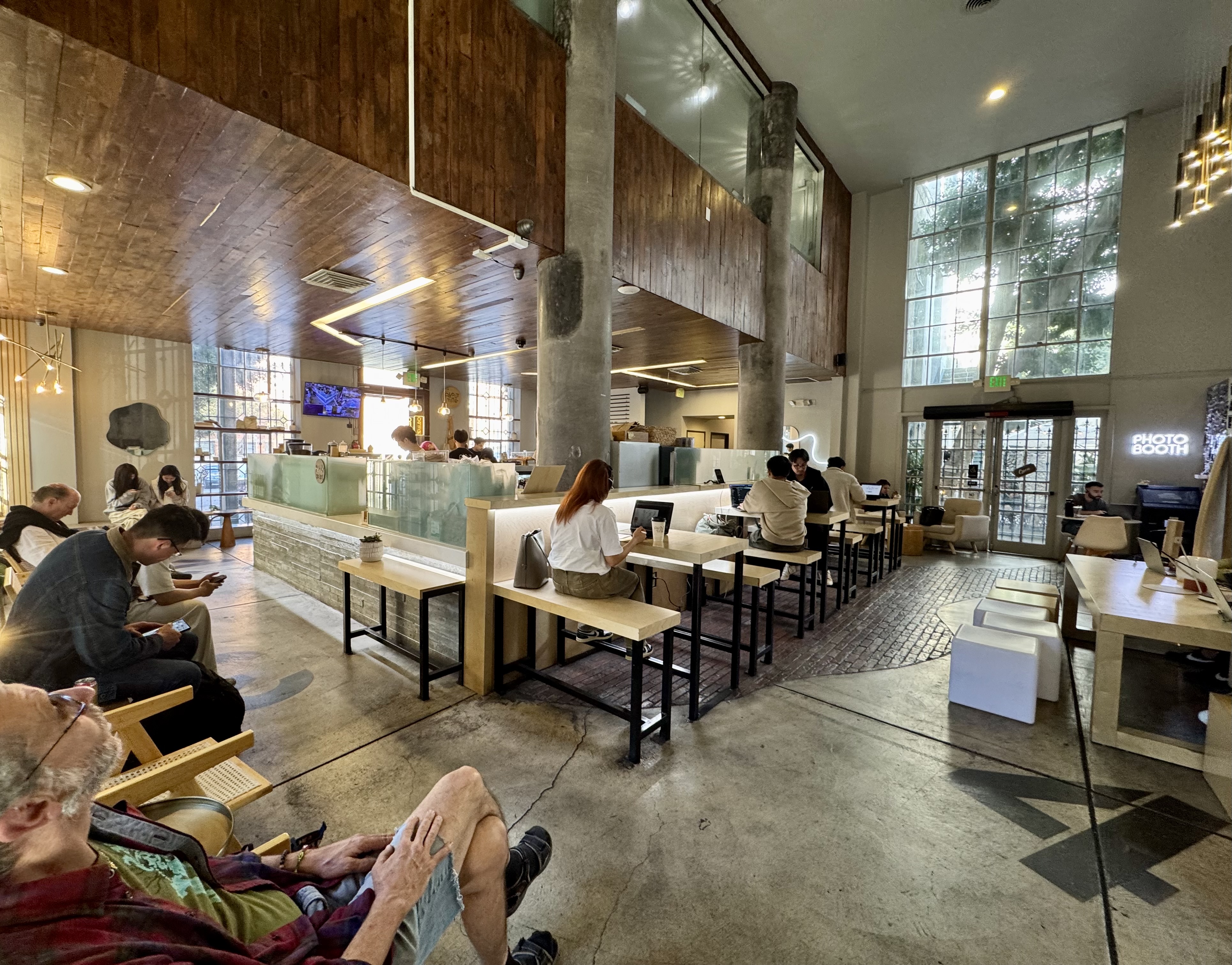
It was fun to discover this gorgeous building and novel coffee shop so close to home, and to be able to share it with my sweetie. A lovely way to wrap up the 15th year of coffeeneuring, my eleventh.
And then, after the challenge had been completed, I was interviewed by Taylor Nichols of Bike Talk, a podcast you should follow (if you don’t already) about coffeeneuring! You can find it here at 15:38.