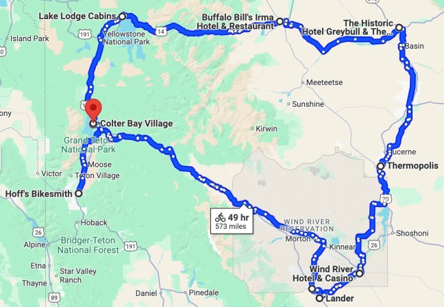
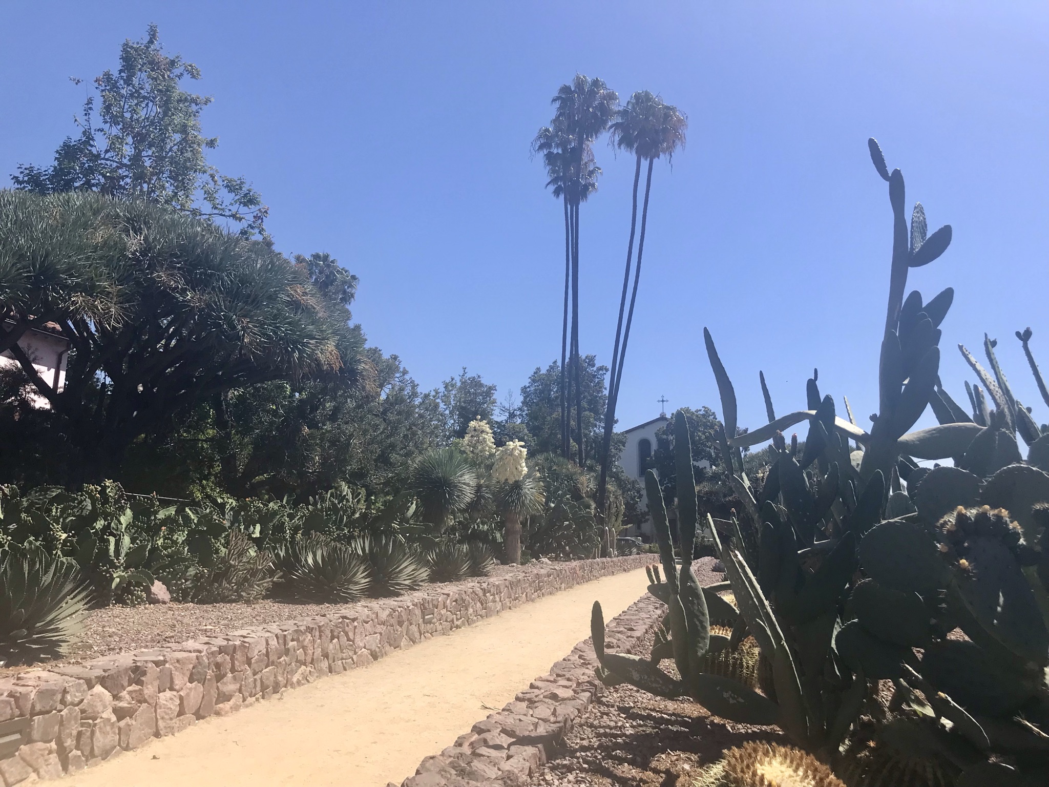
As soon as we’d learned that the extended family’s Summer 2022 gathering would be near Jackson Hole, El Cochinito made the suggestion: why don’t we plan our bike adventure around that, and explore Wyoming? Wow! What an intriguing thought. There are a couple of great National Parks right there, and, well, who knows what else Wyoming has to offer? But I also hesitated for a moment: what are the roads like in Wyoming? Is it bike friendly? Aren’t the roads through the National Parks narrow and filled with RVs and their extra wide side mirrors? After all, it was one of those side mirrors that knocked him off his bike back in 1977 when he rode the Bike Centennial route as a teen. So I started looking to see what the interwebs had to say about biking in Wyoming. I discovered the Wyoming Highway Department has put out a map of all their state highways, coded to indicate such useful information as how wide the shoulders are, how much traffic they get, and even noteworthy headwinds and inclines. That was impressive, but it was also dated 2006. Did they stop updating because they figured no one in their right mind would bike on Wyoming highways any more, or were conditions pretty much the same? (I have since found one that is dated 2013, so it has been updated, and perhaps one must do a better job of searching than I did to find the most recent version.)

This trip got planned in a bit of an odd sequence. We first bought the plane tickets, timed to get us to Jackson a full two weeks before the family gathering would begin. Then we started looking at maps and figuring out a route that would take us through interesting sights and set us up with a decent target destination for each night without committing to an unrealistic daily mileage. I purchased a couple of pertinent maps from the Adventure Cycling Association (ACA), and also investigated the bike trails of Wyoming. We booked our accommodations, and worked a few rest days into our planning. The search for accommodations was fascinating, and the range of prices spanned an order of magnitude, but we knew we would be getting a taste of Wyoming. We had no idea what a fantastic trip we were planning.
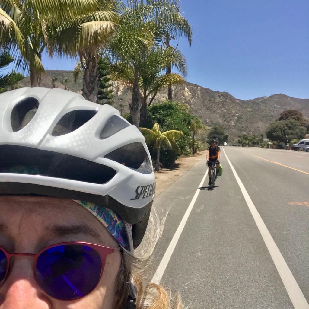
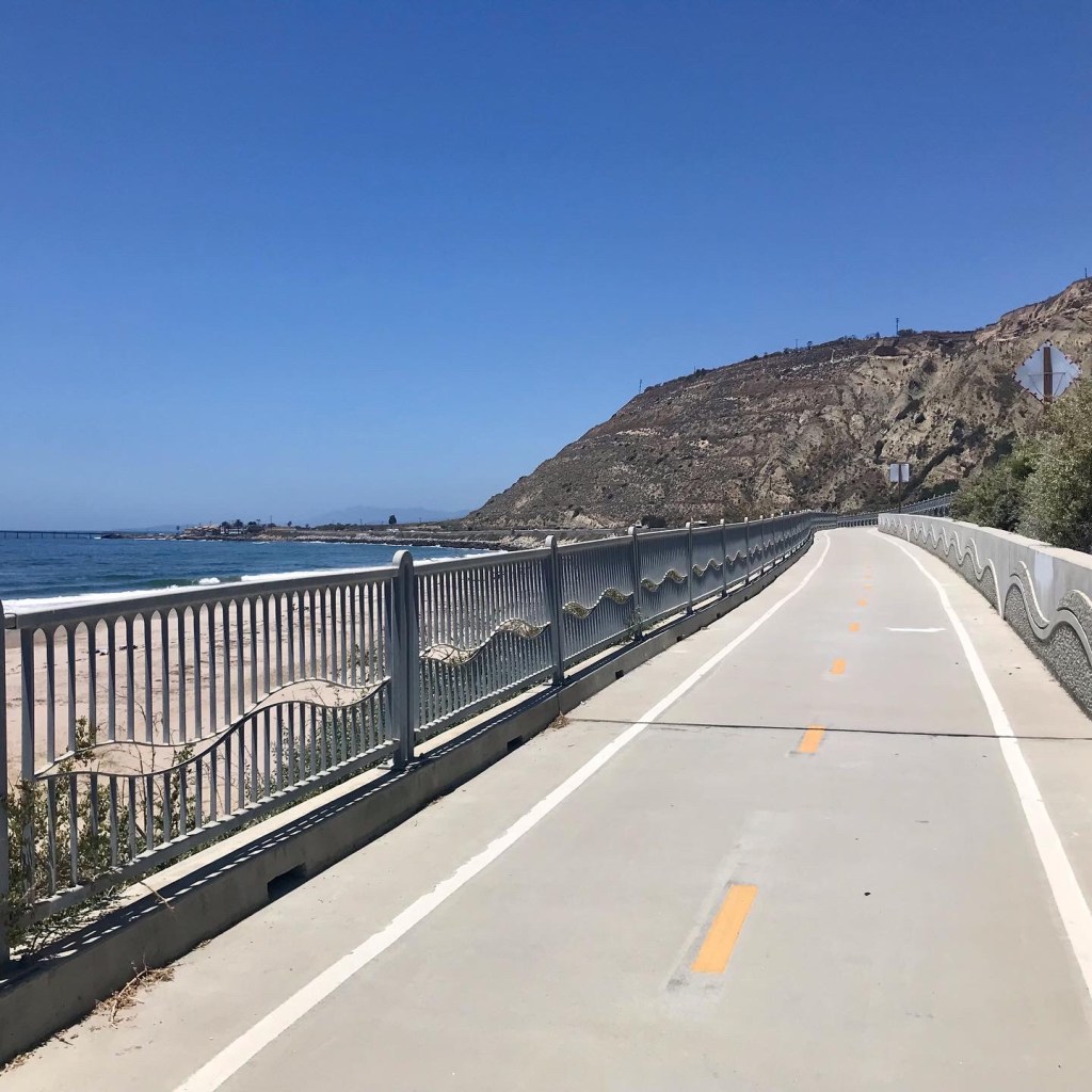
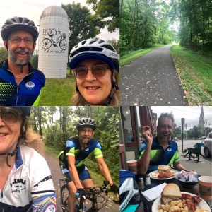
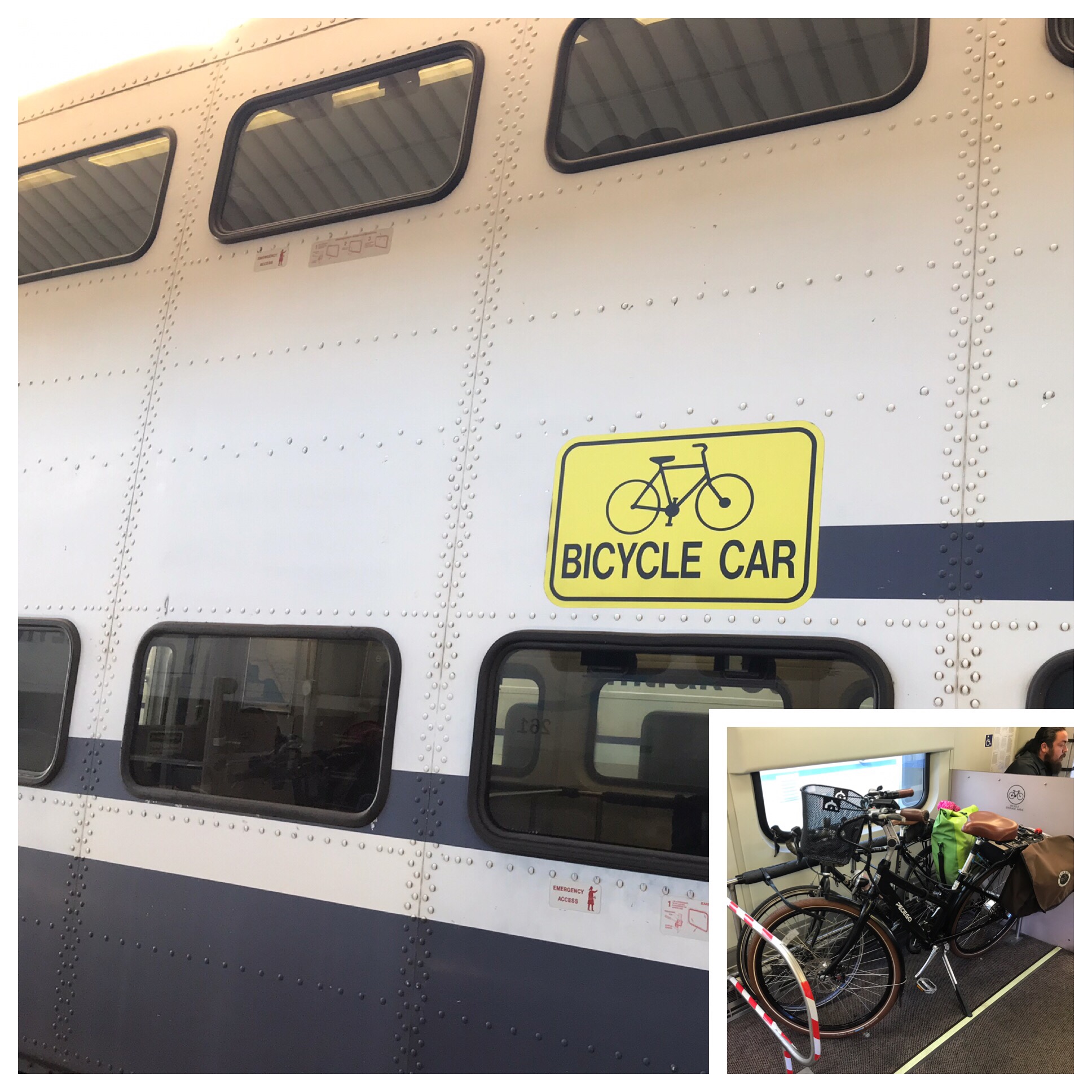
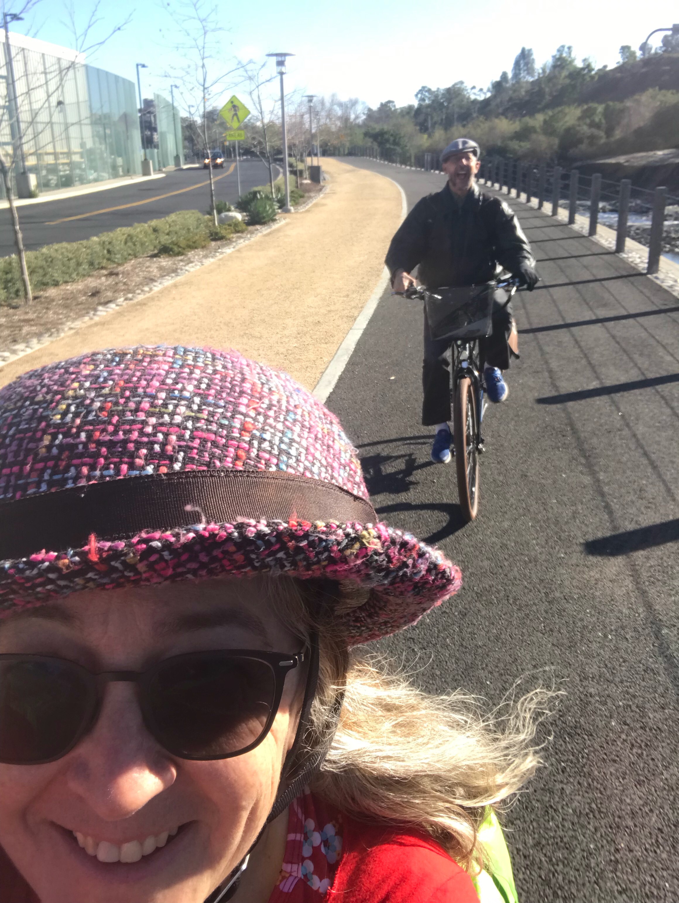
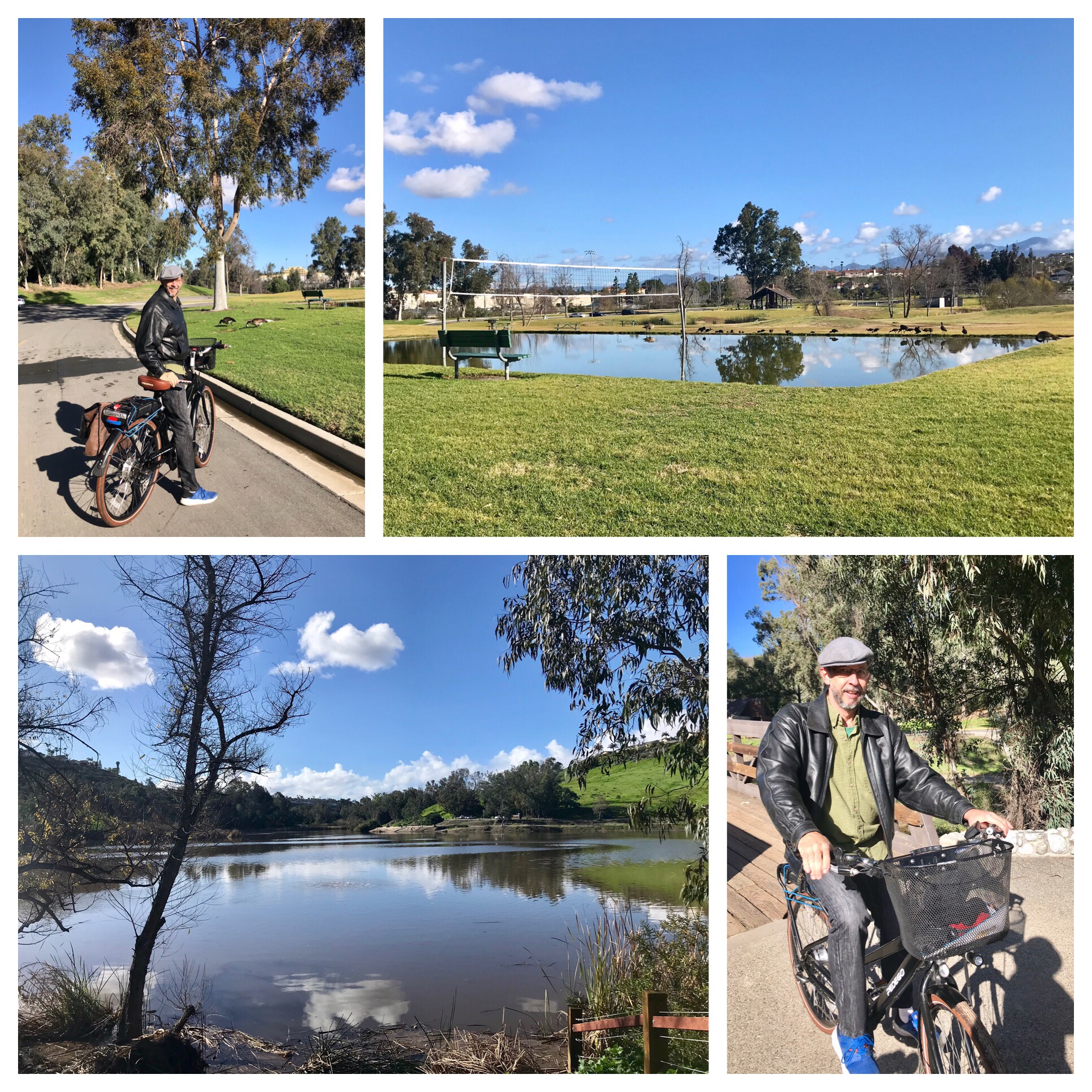
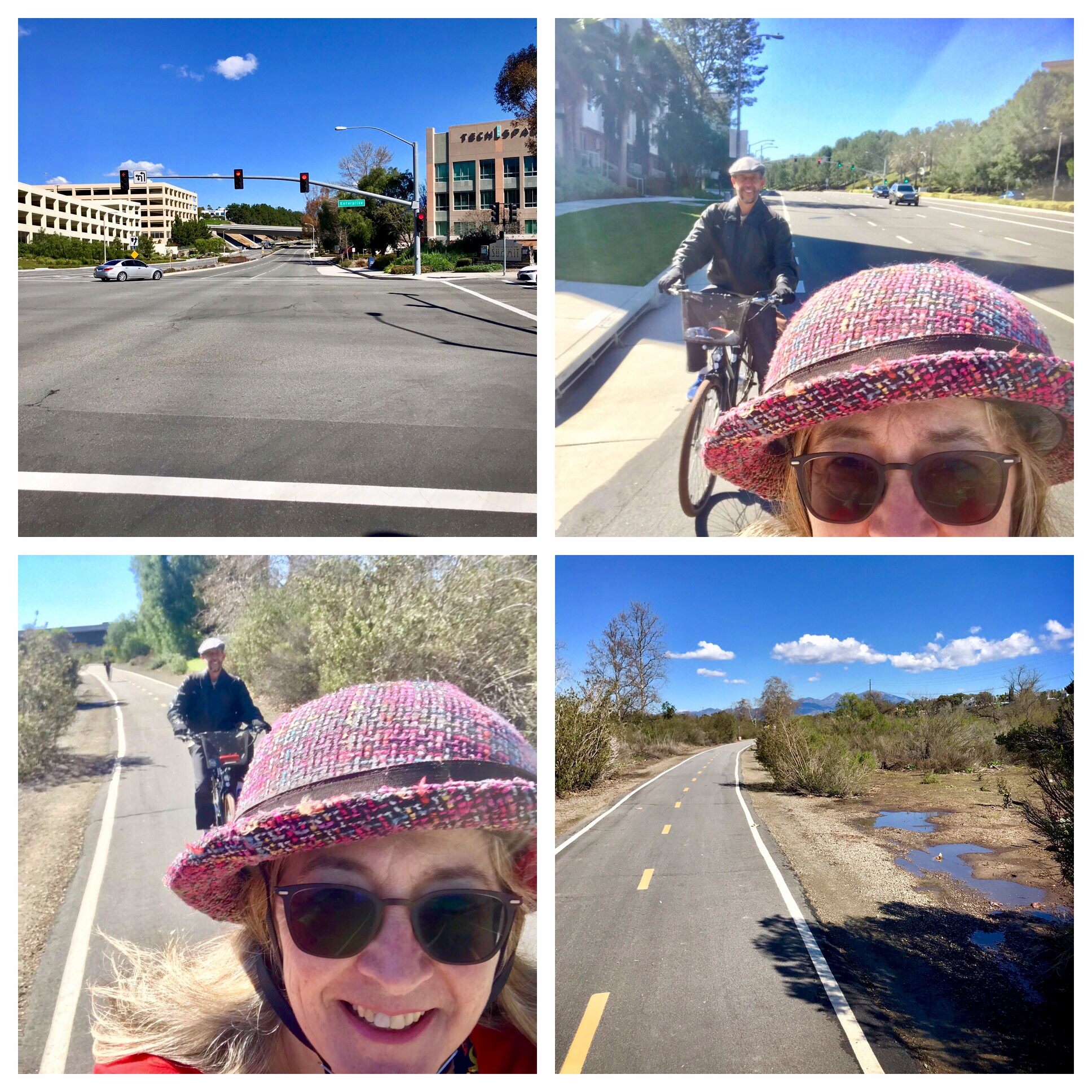
That was February. We had five months to get ready. Given that we would be riding at altitude and into headwinds, we knew we needed to be in good shape. In addition to training rides, we started taking iron supplements to boost our oxygen-carrying capacity, and I added some higher intensity cardio workouts to my regular exercise routine to increase my stamina. Beyond our favorite local training rides, we enjoyed a couple of special training opportunities. In early April, we joined some friends for a few days of camping and biking in Death Valley (hmmm, no blog post on that adventure). For Memorial Day weekend, we did a two-day ride up to Santa Barbara (I did blog about that one here). I started stocking up on Cliff bars, electrolyte tablets, and energy gels, and making lists of things we’d want to bring, mindful that each little thing would add weight to the bike.
The excitement builds
One aspect of the anticipation was a new bike we were expecting, which we believed would arrive in time for the trip. Back in December, I had seen a campaign for a raffle drawing for a Surly Midnight Special, with each $5 donated to a charity entitling the donor to an entry. The cause was a worthy one: Full Cycle, a bike shop in Minneapolis that offers youth a chance to earn a bike by helping out as they learn how to work on bikes. And Surly is known for bikes that serve well for touring, adventure, and hauling stuff. I thought that might be the way to get El Cochinito to try a touring bike: win one for him. Well, I donated $100 to the cause, and ended up being the lucky winner. The folks at Surly, upon learning of my intentions for the bike, offered to swap a more suitable touring bike from their collection for the Midnight Special. The designated beneficiary opted for the well-regarded Surly Disc Trucker; we just needed to wait a wee bit for a new shipment to come in.
We waited, and we waited, and we waited, patiently, of course, but then we started getting nervous that it might not arrive in time. You know how those supply chain issues can be — out of everyone’s control, especially in the age of covid. We really wanted to have a little time for testing out and adjusting the bike. What if it was like the new bike El Cochinito got me in 2020 – the one that arrived just AFTER we had already left town for our bike adventure in the Eastern Sierras? But then, wouldn’t you know it: just in the nick of time, the Surly was shipped directly to our local bike shop for assembly. Soon it would be ready for its first test ride.
And now for the hiccups
Then, shortly before our trip, El Cochinito came down with covid. He had supported me when I had my bout with the virus just a month prior. Now it was my turn to be the caregiver, and I had every incentive to do what I could to ensure he was able to rest and recover as quickly and completely as possible. He was able to start taking Paxlovid right away, and remained optimistic, but we had to give some thought to how we could modify our plans if necessary. Yet neither of us liked the idea of missing out on a trip we had been planning and preparing for over the last several months. Luckily, just in time, he tested negative, and felt sort of well enough to take the Surly out for a test ride. That test ride was on the short side, and it was apparent he wasn’t back to 100%, but neither was he deterred. We knew we had to remain flexible with our plans, but things were (maybe) looking up.
Day 1: Jackson to Colter Bay (Grand Teton National Park) – 32, no, make that 42 miles
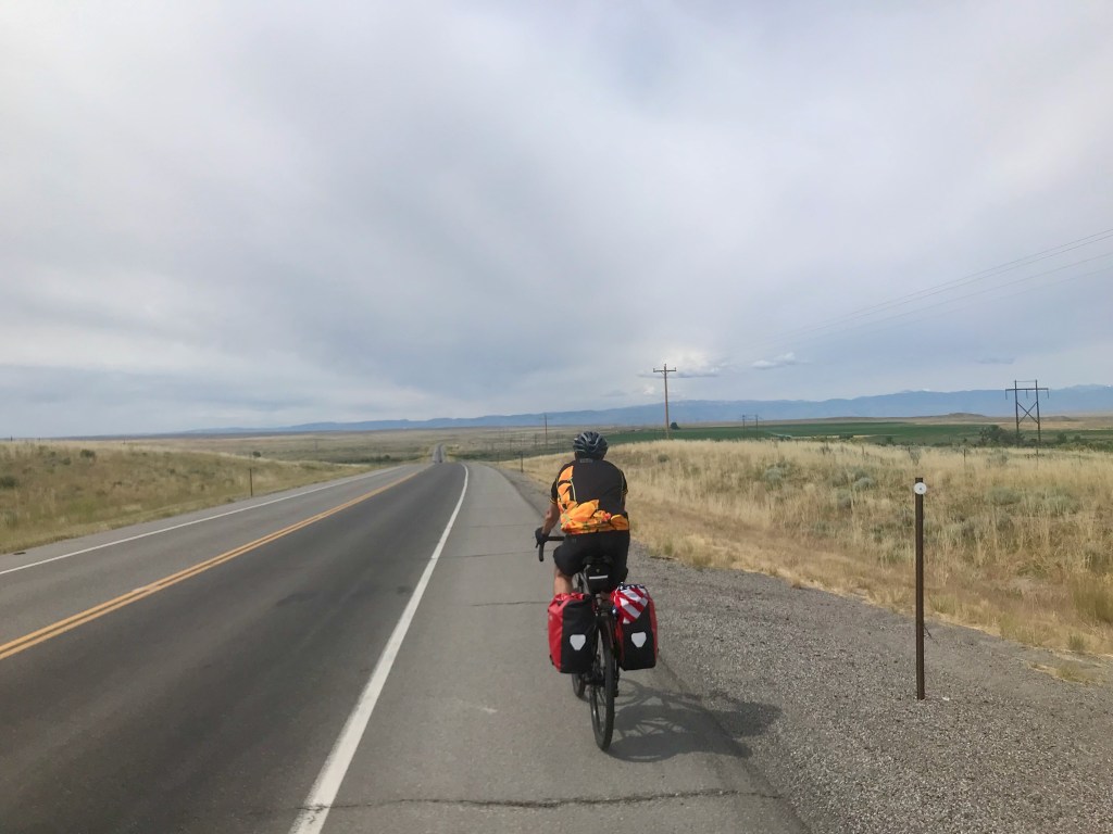
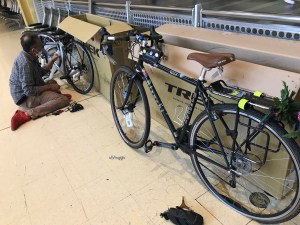
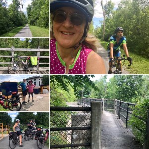
We flew to Jackson, unpacked and assembled our bikes out in front of the airport, and got ready to roll. As soon as we mounted our bikes, we encountered our next glitch: the steering tube of my bike, which hadn’t looked right when I went to assemble it, was haywire, and my bike was simply unrideable. Holy jeepers, now what? We needed to ride 32 miles to get to our first night’s lodging, yet we couldn’t even ride out of the airport parking lot. We started googling for local bike shops, hoping someone could help us. We called a mobile bike repair service, but they weren’t available. We got lucky with Hoff’s Bikesmith in downtown Jackson, who said they could help us out if we could get ourselves and our bikes over there. Luckily, there were several large SUV rideshare vehicles waiting at the airport to offer rides to arriving visitors, and we found one that could accommodate the two of us and our two bikes. Our driver took us to Hoff’s, and we were able to make sure both of our bikes were properly assembled and road-ready. That little delay meant, however, that instead of starting our 32-mile ride at 2 PM, we were starting a 42-mile ride at 4 PM.

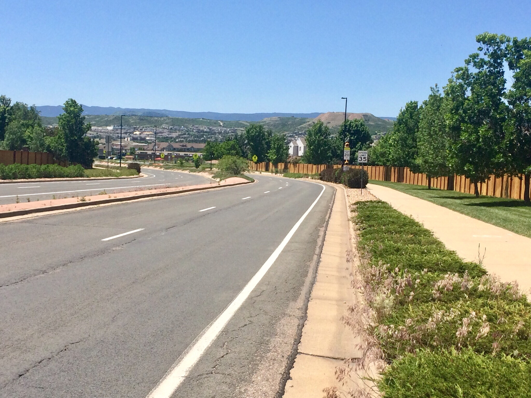
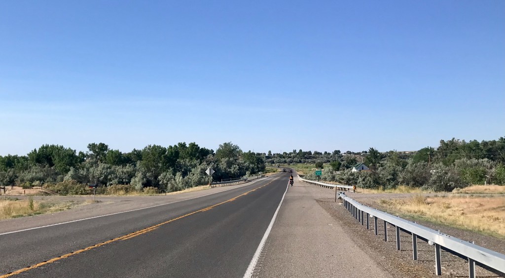
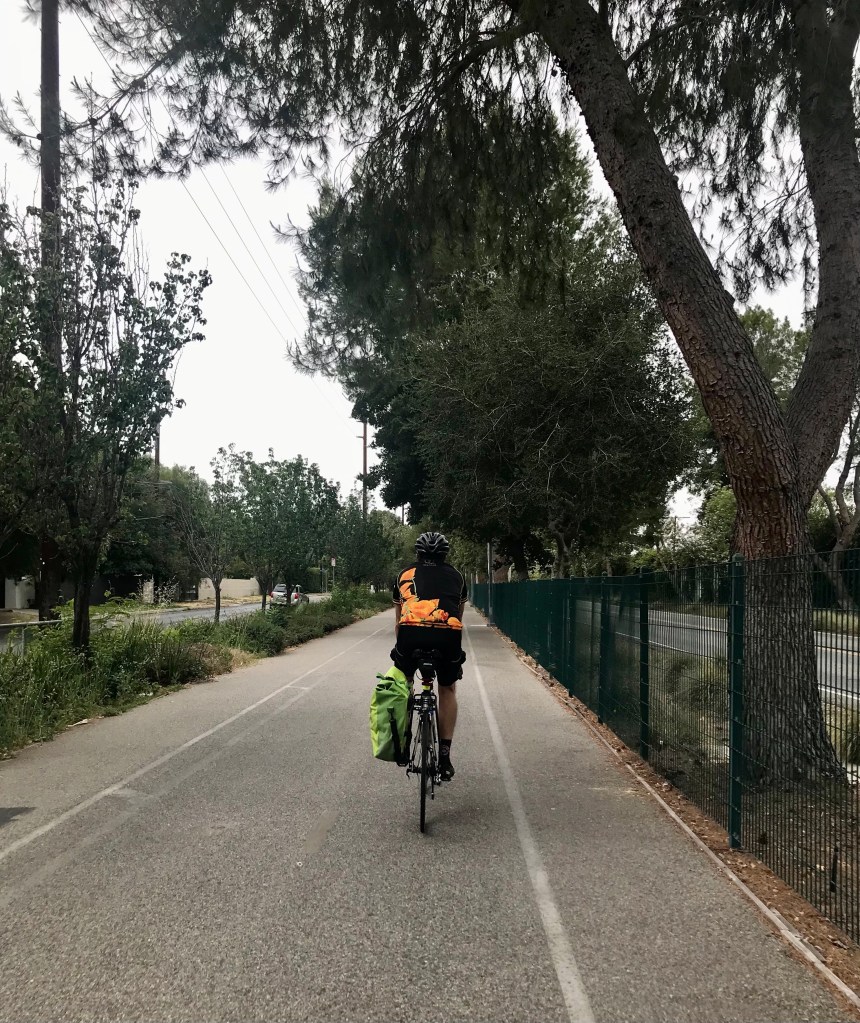
The bike path from Jackson into Grand Teton National Park 
At least the first 20 of those miles was on a lovely bike path that takes you from Jackson into Grand Teton National Park. We then stopped for a rest break at Jenny Lake. We filled our water bottles and had some Cliff bars. El Cochinito was really feeling the misery of biking while being in covid recovery. He said, at that point, that he could maybe, maybe, ride at most another 10 miles, but certainly not another 20. We figured we would just take it as it comes, and flag down one of the many RVs or trucks passing by if he ended up needing a ride to get to our cabin for the night.

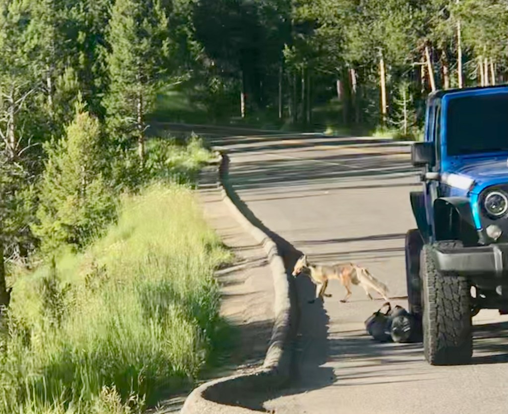
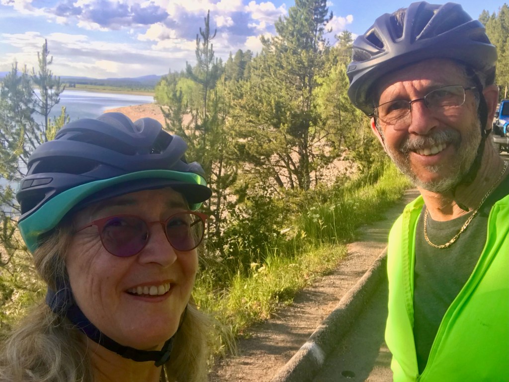
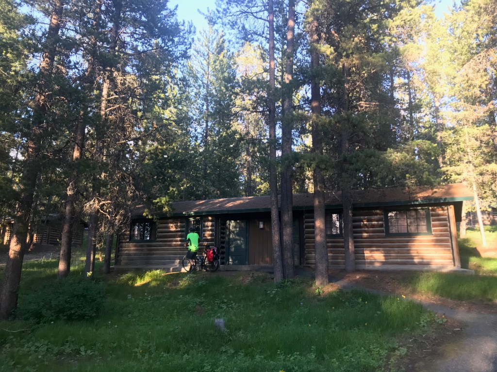
That rest break at Jenny Lake served us well, though, and we got back on our way. The park is beautiful, the lake is beautiful, and we were there – finally actually riding our much-anticipated tour. We paused briefly to take in the view of the lake and watch a fox slink by. We took our time, and El Cochinito surprised us both by powering through. No RV assistance required after all. We were delighted to make it to our cabin at Colter Bay at 8 PM, just before it got dark. We got dinner at the camp restaurant, and spent our evening listening to a fascinating audiobook about the history of Yellowstone National Park, our destination for the next day.
Day 2: Colter Bay to Lake Lodge (Yellowstone National Park) – 62 miles
That next morning, or actually starting during the night, El Cochinito woke up to a new challenge: tooth pain. And I woke up to find that my rear tire was flat. The latter he was able to fix for me, but I was helpless to fix his problem. We decided we would simply continue to take it as it comes, and keep an open mind about modifying our trip if necessary. But who wants to have a dental emergency while on a bike tour? Hard to just put that out of mind.
Although I didn’t like my ride buddy having to struggle with his discomforts, I have to admit I enjoyed the slower pace we were riding. It was nice to not be the one holding us up, to feel free to tootle along at a leisurely pace. Besides, I wanted to savor the riding for as long as it might last. There was no telling how long our bike tour would continue, so I might as well make the most of it. This was, after all, one of the most beautiful places to ride.
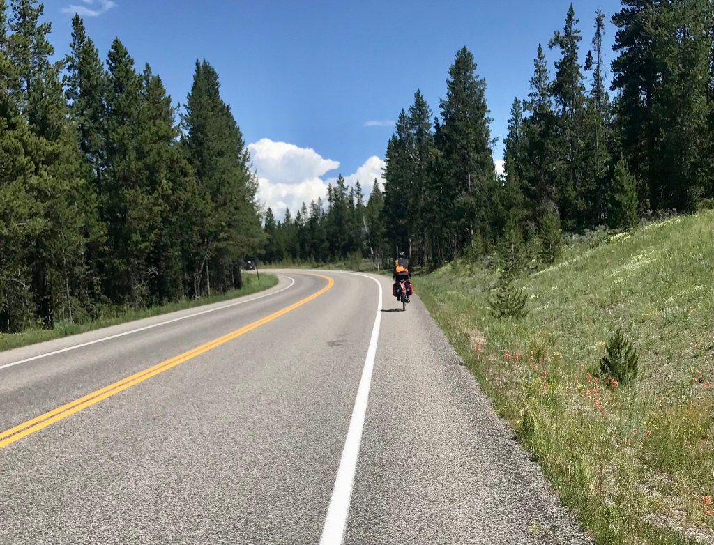
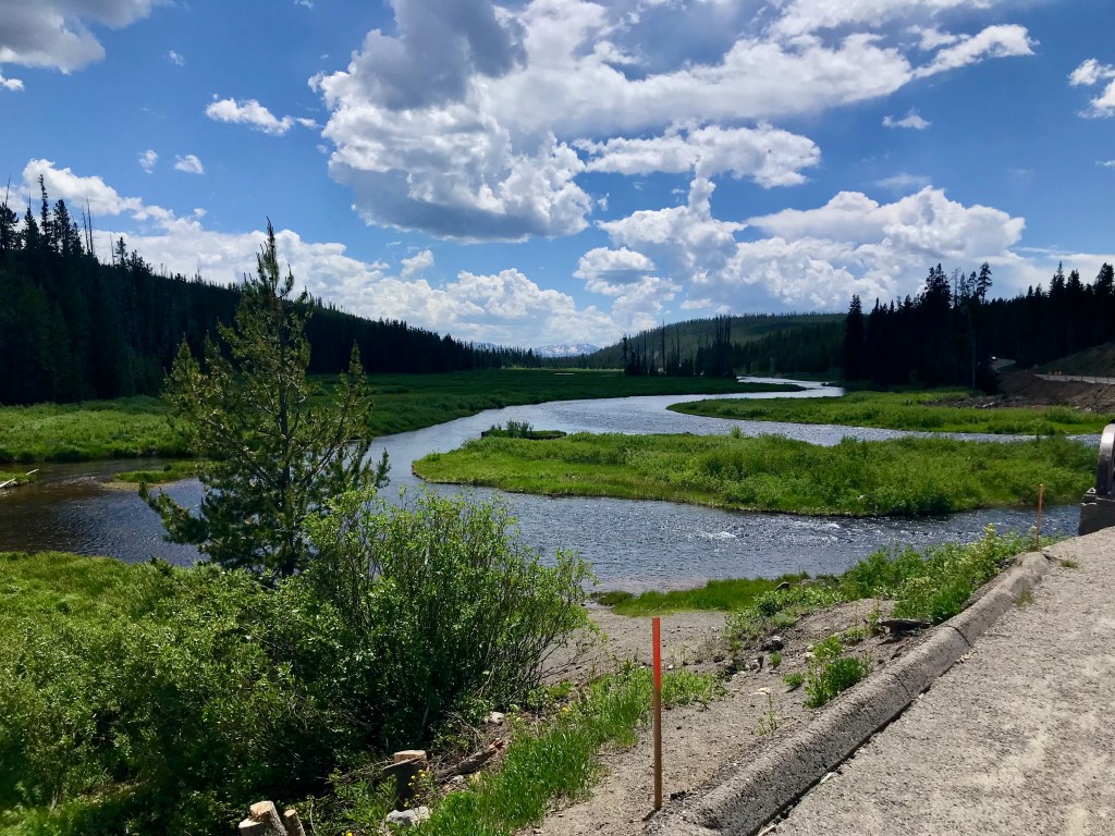
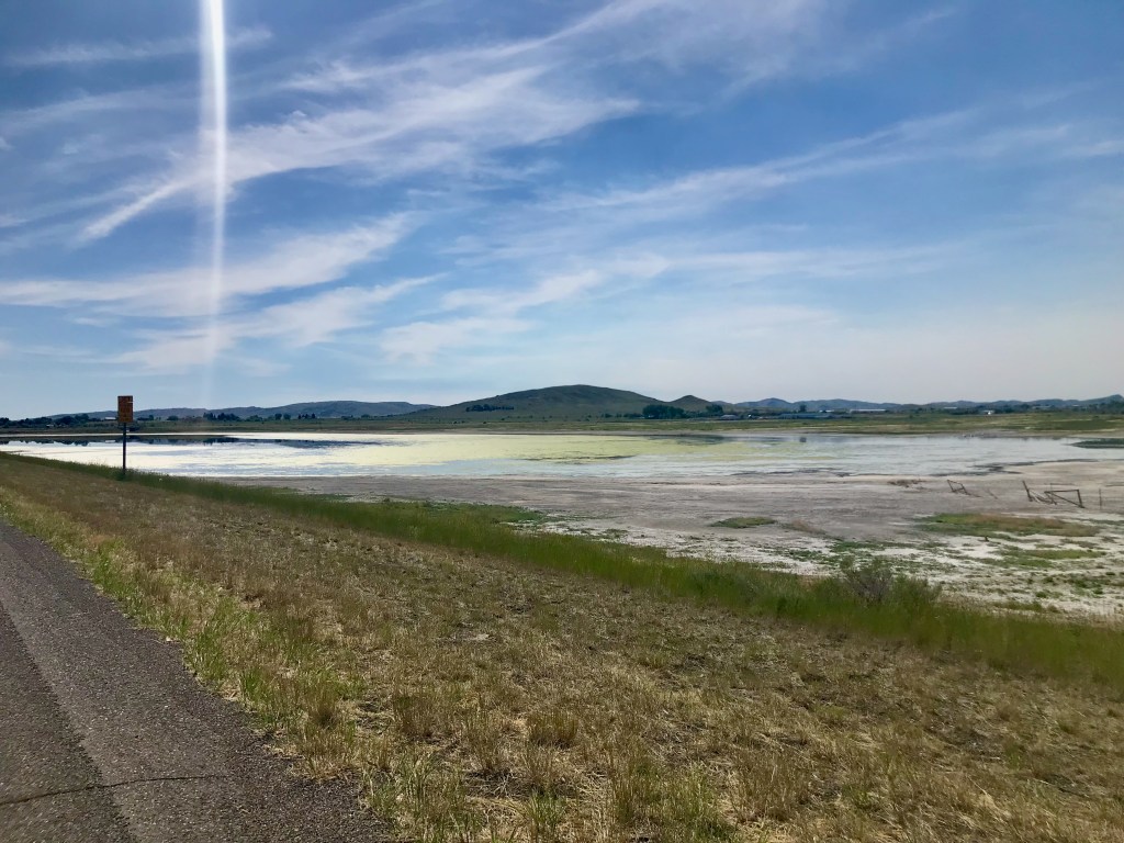
With sleeping in, a flat tire repair, and some phone calls to be made, we got a late start on day 2, but we still had a gorgeous day of riding. We took some moderate climbs at a relaxed pace, took in the beauty of Lewis Falls off to our left, found ourselves awestruck looking down at the Lewis River snaking along off to our right, and got ourselves up and over the Continental Divide. The second half of the ride was gentle and beautiful, highlighted by a mystical, magical moment when the lightest sprinkle of mist added a glistening glow in the late afternoon sun as we rode through a forest. We made it to our cabin at 6:30. My ride buddy set us up with a dinner reservation at the nearby Yellowstone Lake Lodge. The Lodge has a nice grand room where we took in the view of Yellowstone Lake before dinner. The restaurant was huge, with a high ceiling, large windows facing the lake, and was even grander than the lobby. At the same time, it was bustling with guests, including families with kids running around. The ambiance was a delightful mixture of fine dining elegance and family camp.
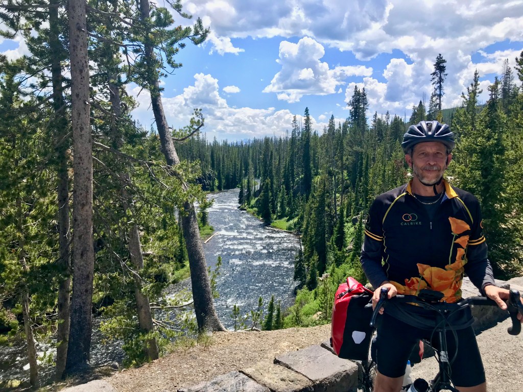


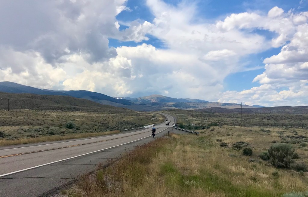
Day 3: Lake Lodge to Cody – 82 miles
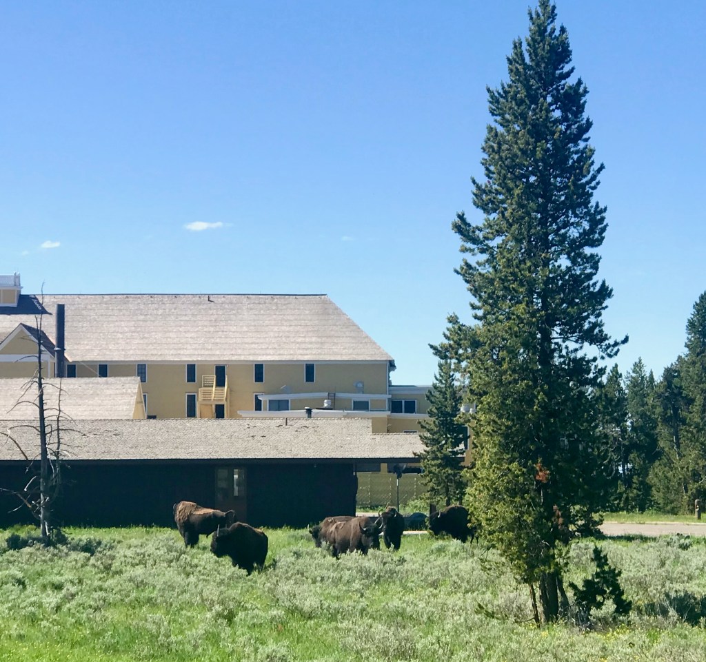
The next morning, we had some matters to attend to that required access to a printer, and that required a stop at the big Lodge before heading out, making for yet another late start to our riding day. Once business was resolved, we were treated to a crowd of bison grazing on the lawn just outside the big Lodge as we rolled out and on our way. We continued eastward through the park, taking in the gorgeous scenery. I couldn’t help but wonder how many people may have driven through here and missed so much of the beauty due to the speed and constraints of being in a car.
We knew we had a long day ahead, and that there would be some distance to cover between amenities, so we stocked up at a store before leaving the park, making sure we had snack food and extra water. We had a lot of miles to cover that day, but we also knew that, after Sylvan Pass, it would be pretty much all downhill into Cody.

Heading east out of Yellowstone on East Entrance Road it was beautiful and quiet 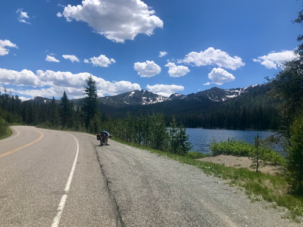

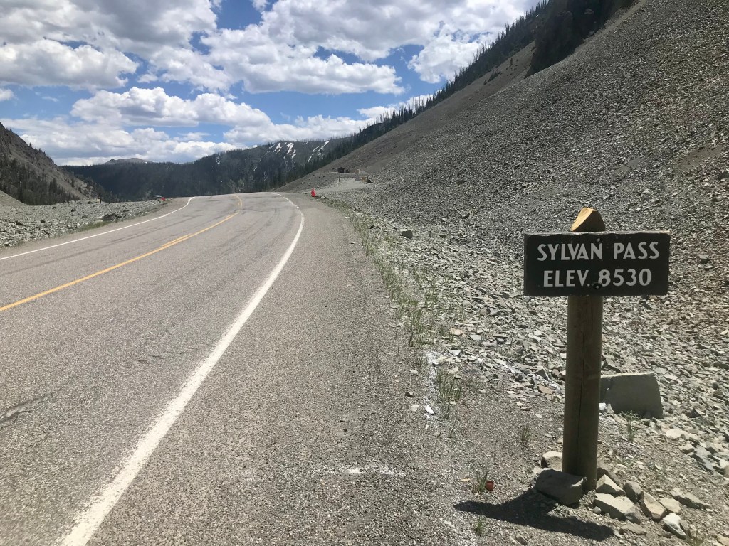
The summit already! And what a glorious descent . . .
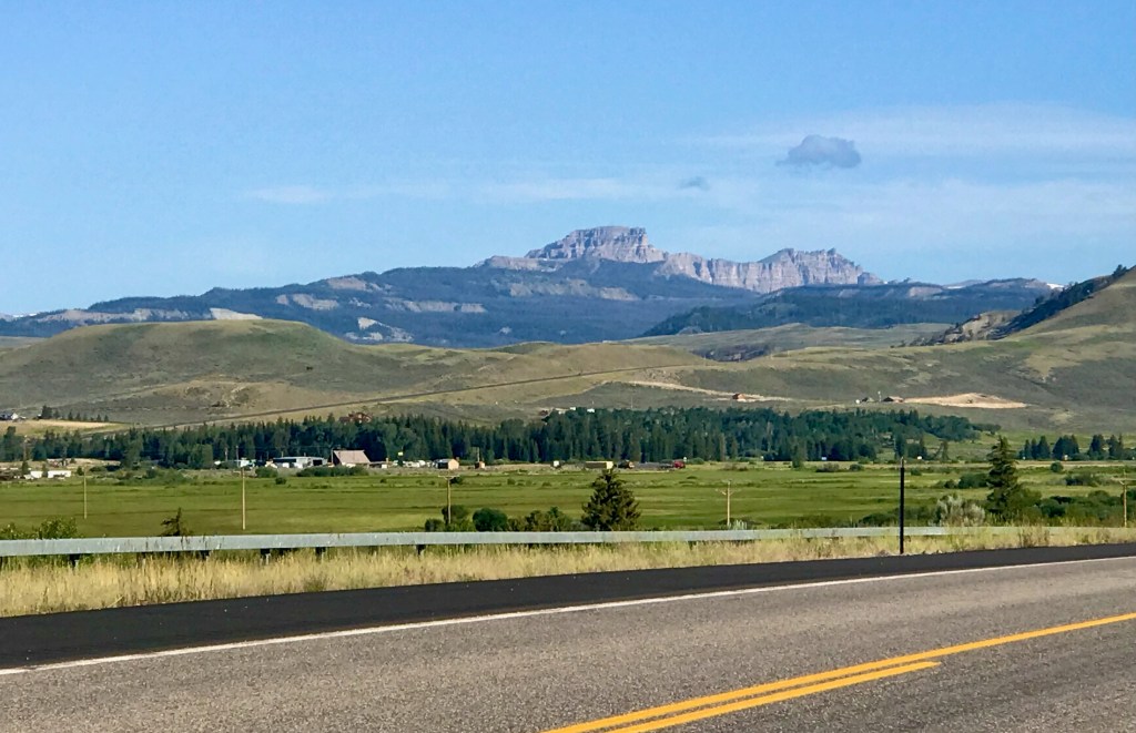
Sylvan Pass was both beautiful and exhilarating. The climbing wasn’t bad, we reached the 8,530-foot summit sooner than expected, and the descent was absolutely glorious. I hope I never lose my memory of that descent. Still glowing from the thrill, we arrived at Pahaska Tepee, which turned out to be a great place to stop for lunch. The man who served us seemed to be either the owner, or perhaps a life-long employee, but certainly knowledgeable and proud of the local history, which he was happy to share with us.

So far, so good, right? 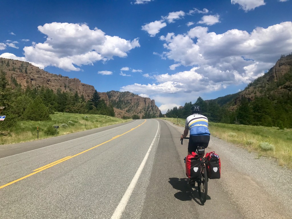
Pretty and pleasant 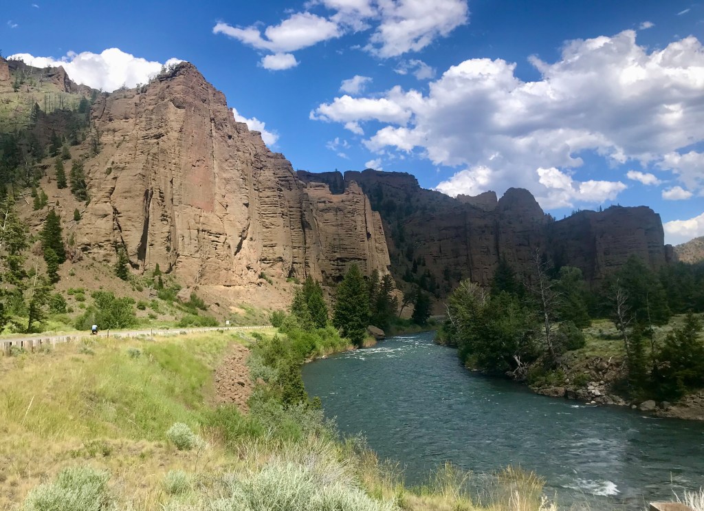
Nearly 2 hours after leaving Yellowstone, still beautiful 
By now it’s nearly 5 PM and the day is getting long. 
Another 2 hours to go – and nothing picture worthy after this
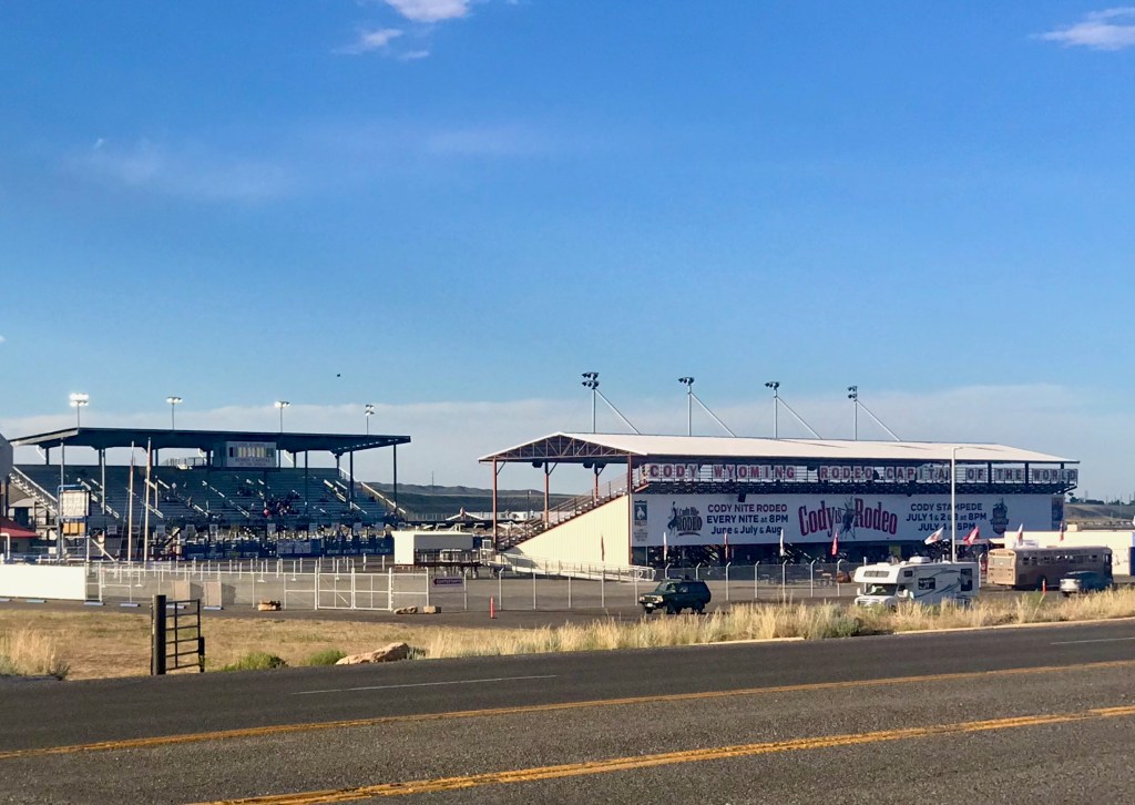
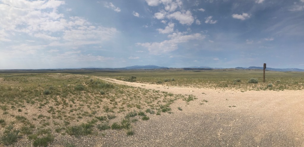
After filling our bellies and our water bottles, we continued our eastward trek. While it may have been downhill, it didn’t really seem so, as the heat and headwinds bore down on us. As glorious as the first 30 or so miles had been that day, the next 50 miles after Pahaska Tepee were tough. The day got long, the scenery more sparse, dry, and more, well, what I have long imagined most of Wyoming to be: rather on the harsh and barren side. We had to stop from time to time and take a rest. My ride buddy was miserable. This was no ride to be doing while recovering from covid and nursing a toothache. We began to wonder how long it would take to get to Cody. Would we even get there before dark? Previously, we had thought we might get to Cody with enough time to explore the town, maybe even take in a rodeo. It became clear that such bonus activities were not going to happen – we’d be glad just to get there and make it to our hotel.
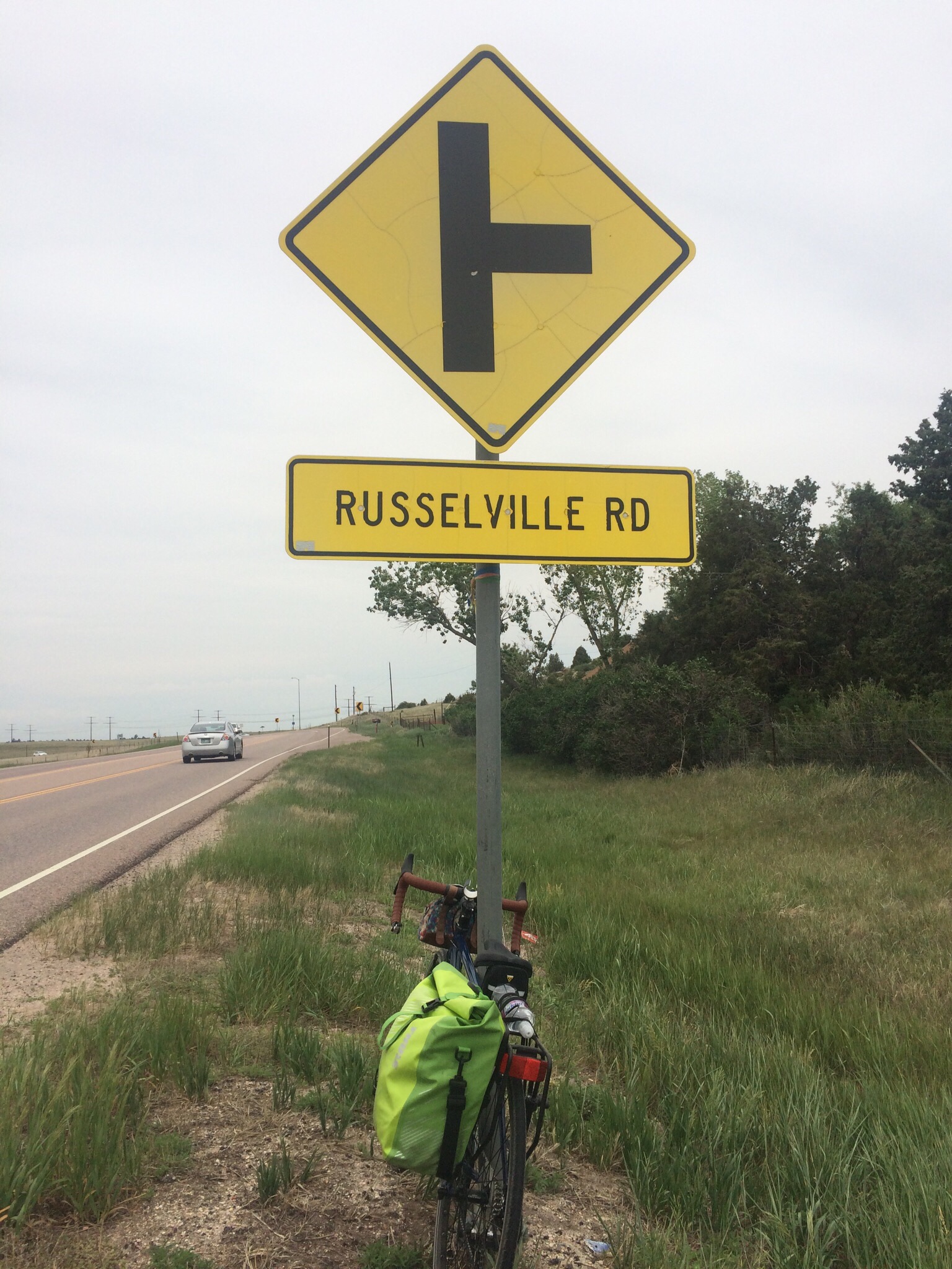
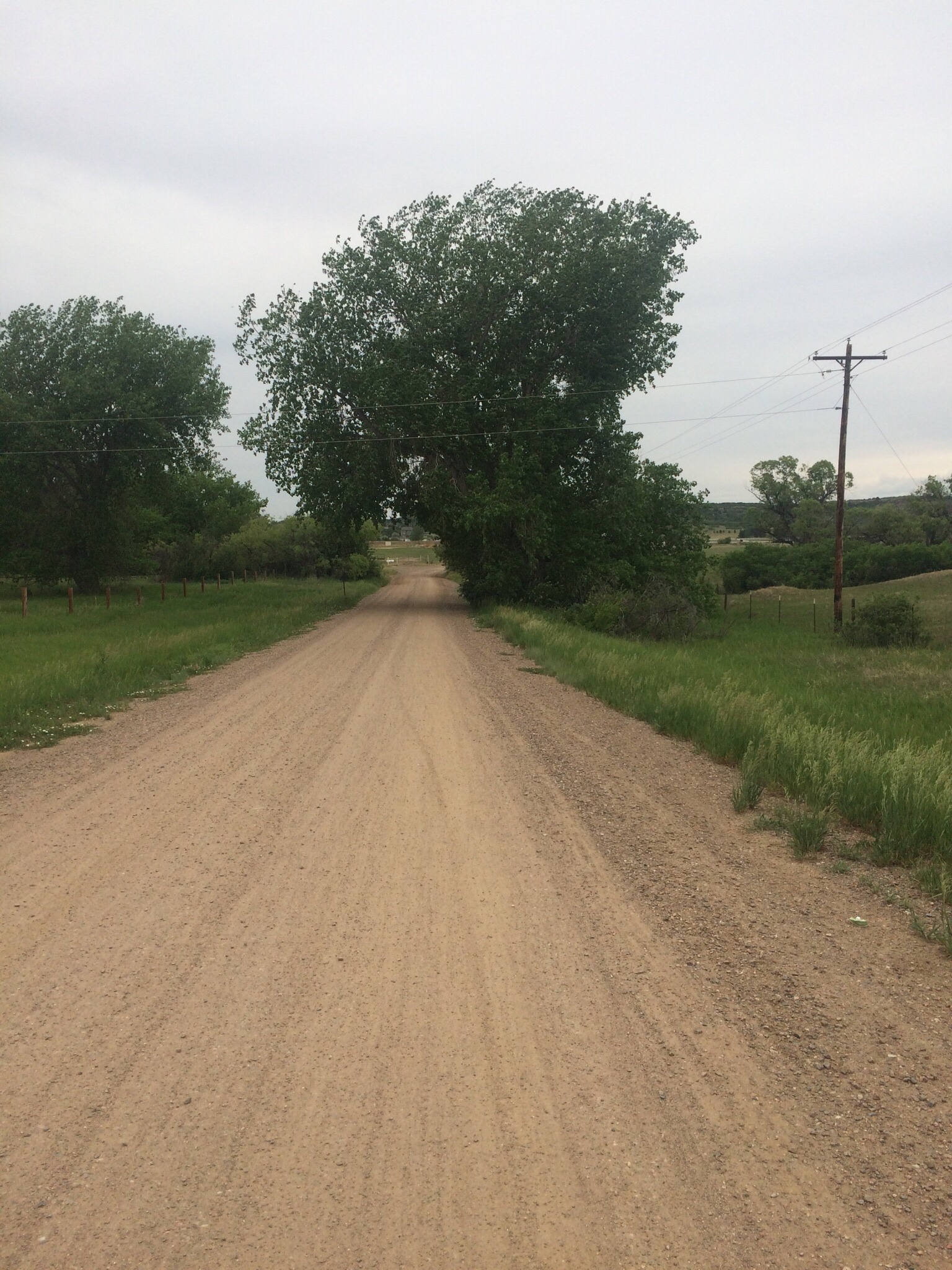
We were following the ACA bike route, which sometimes led us to get off the highway and take an alternate road. Sometimes those detours meant a quieter, less-stressful road that ran more or less parallel to the highway, but other times, it took us on a rough, rocky gravel road or something that added more extra miles than we wanted to take on. As we got closer to Cody, the route seemed to lead us to a dam area that we started to enter until realizing the road was not open. We had to turn around and get back on the shoulder of the highway, just as it passed through a big tunnel. I was nervous, as it was dark and long, and there was no shoulder – we had to ride in the same travel lane with motorized highway traffic. The first part of the tunnel was actually quite fun. We were moving at a fast pace and it was exciting. But as we got faster, my wheels started to feel a bit unstable under me, and I wasn’t sure I could maintain control of the bike. Between the uncertain control, the dark, the fear of cars behind us, and not knowing how much longer we would be in tunnel, it was all I could do to keep from freaking out. After all, pulling off to the side of the road was certainly not an option. When we finally made it to the end of the last of a series of tunnels, I had to pull over and pull myself together. It turned out El Cochinito had loved the whole thing. He did not experience the instability I was having, and loved the thrill of it. Shortly after we resumed riding, I noticed there was a road off to the left side of the highway that seemed to have come up from underneath, and perhaps might have been part of that ACA bike route that had directed us to the dam area. I studied the map later, and my working theory is that, had we arrived earlier in the day when the dam was still open to visitors, we could have biked on through and connected up with that road that comes up the other side, avoiding the scary tunnel experience.
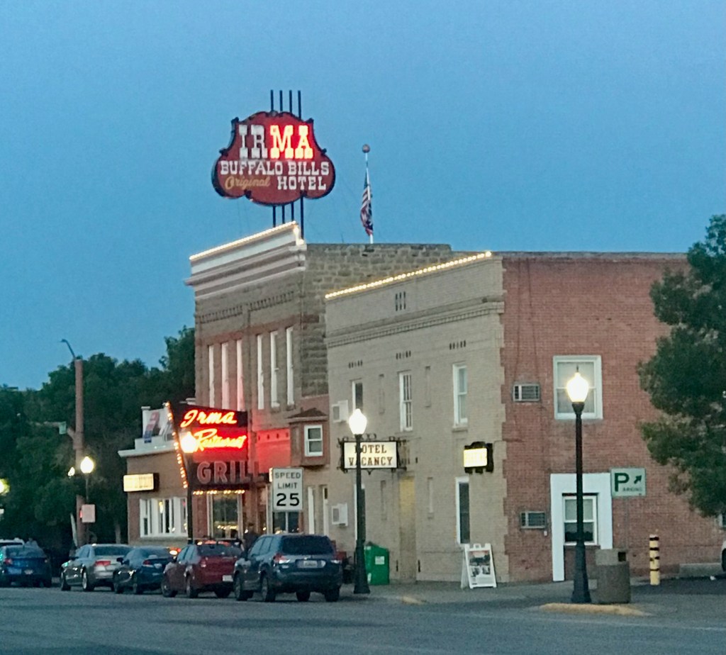
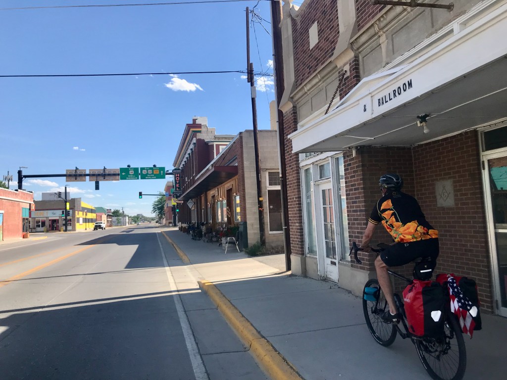
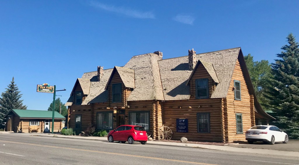
Soon, we could see Cody ahead of us. That brought welcome relief. One of the first things we saw as we approached the town from the west was the rodeo grounds. We stopped to snap a photo, and figured that was enough rodeo experience for us. We still had a few miles to go before arriving at our accommodations for the night, the historic Buffalo Bill Cody’s Irma Hotel. Each room of this charming establishment was named after a different person from the town’s history. But first we had to get checked in. Although we’d been promised a room on the ground floor so that we could roll our bikes in, that turned out not to be available to us. El Cochinito was speaking with the woman at the front desk while I waited outside with the bikes. I missed the part where the woman was taken aback when she heard we were from Los Angeles. You’d think we were alien life forms. She was kind to us, though, and let us park our bikes in the hallway of the ground floor. We just locked the bikes to each other, and they were fine.
We must be entering Cody! 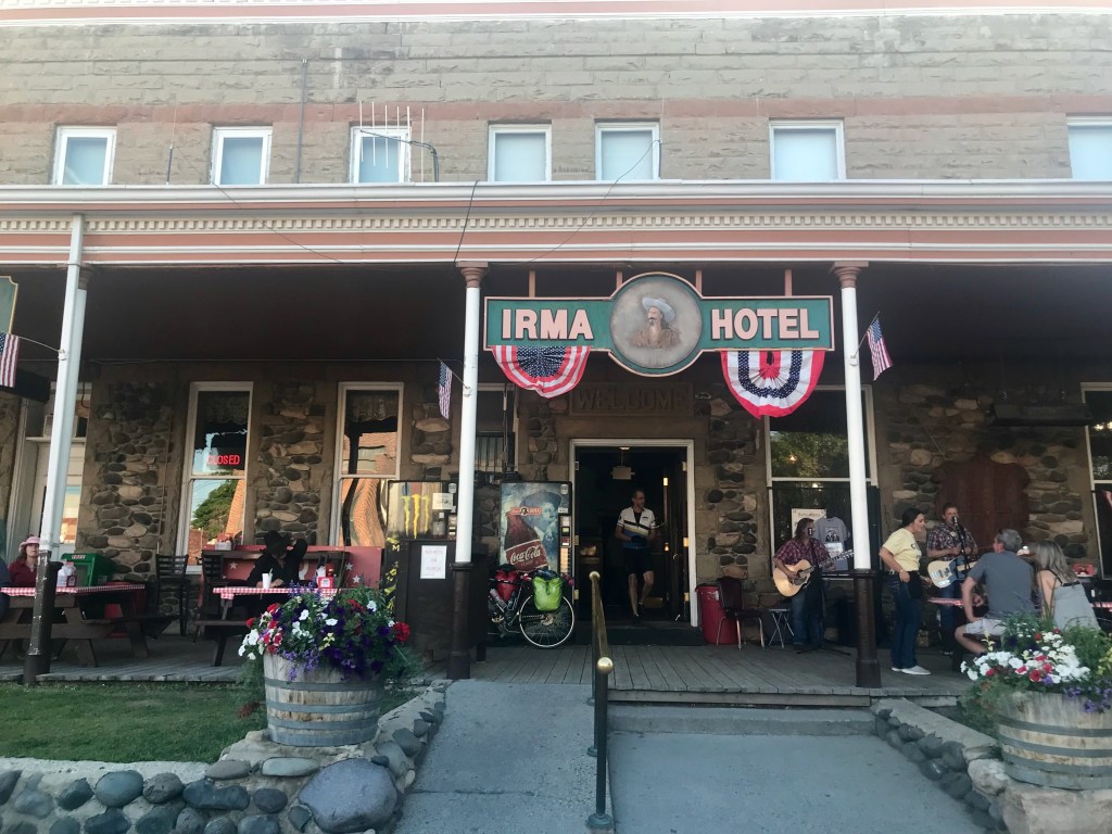
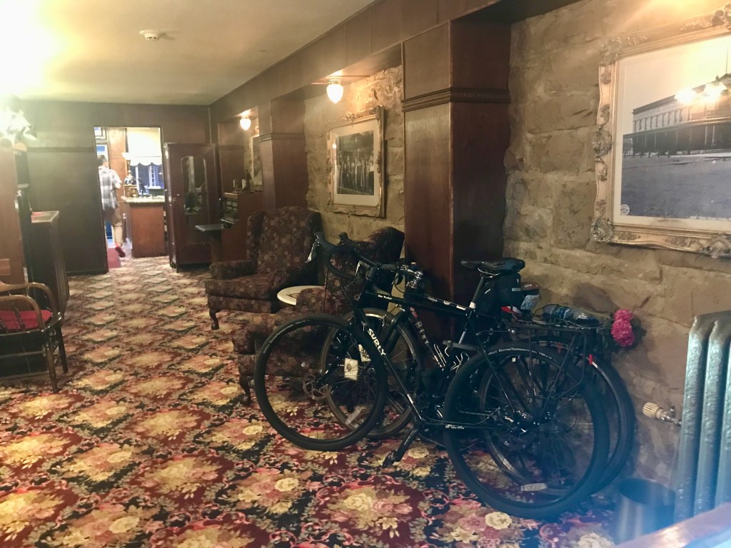
Bike parking in the lobby of the Irma Hotel 
You can’t beat the decor at the Irma Hotel
We encountered lots of folks in Wyoming who were very friendly, but also made it clear they did not want anybody like us (from California, of all places) to entertain thoughts of moving to Wyoming. As much as we enjoyed visiting the place, we were not tempted to make it our home.
We were too beat to consider going anywhere that night, and looked for a restaurant that was open and within as short a walking distance as possible. Although there were several establishments right across the street, most either weren’t open or had a long wait. Luckily, we found a pizza place a few blocks away that fit the bill.
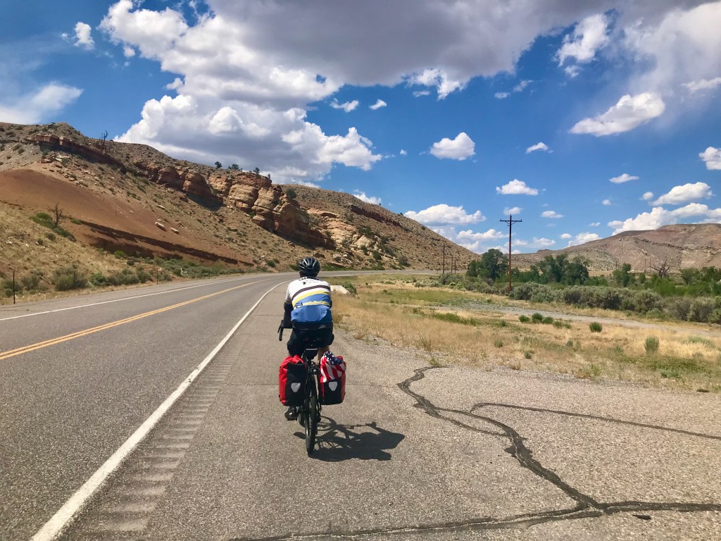
Day 4: Cody to Greybull – 60 miles
Another longer-than-expected day of riding in heat and headwinds had us making a point of having one rider pull the other to keep our energy going. We also got a full sense of how few and far between the towns are in Wyoming. My ride buddy was really feeling the tooth pain and needed to do something about it. He called ahead to an urgent care clinic just south of Greybull and was assured that he could be seen that evening. Although the ACA bike route has riders take a road that drops a little south of state route 14 through the town of Burlington before heading east into Basin, a town just south of Greybull where the clinic is located, we opted to stay on 14 because it heads more directly into Greybull and avoids an uphill climb to go north from Basin into Greybull. Shortly after making that decision, we rolled into the town of Emblem, where we were eager to get water, as we had completely run out. That’s when we began to understand why the ACA route sends cyclists south through Burlington. Emblem, Wyoming has a population of 10, and zero shops of any kind. Burlington is an actual town, and, had we paid more attention to the ACA map, we would have noted that it has a store. The only business of any kind we encountered in Emblem was the post office, which appeared deserted. But there was a residence behind the post office, and El Cochinito knocked at the door. When no one answered, he looked around and found a garden hose, and used that to refill our bottles. I get uncomfortable about helping myself to someone else’s garden hose without permission, but I am grateful that my ride buddy has no such qualms. We found a shady spot nearby to rest and rehydrate.


The Emblem, Wyoming Post Office 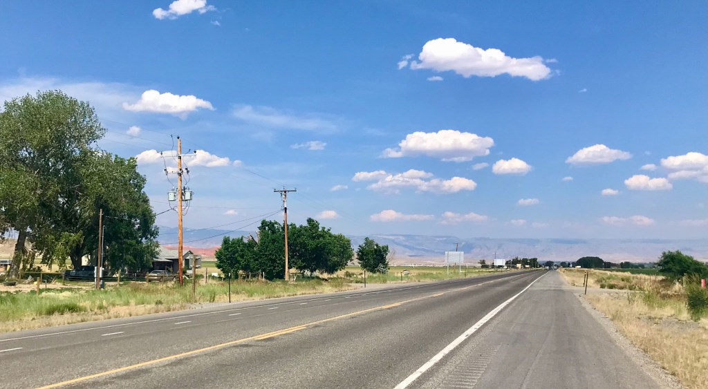
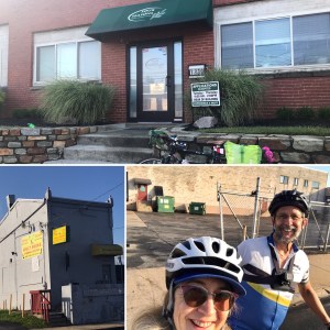
Thank goodness my ride buddy had found us some water, as shortly thereafter, I got a flat tire, which meant more time in the heat. Those last 20 miles into Greybull seemed like an eternity. We knew the road would curve right and head south just before Greybull, and as excited as I was to spot the curve in the road, even that curve seemed to take forever. It was over 100 degrees when we got to Greybull, no wonder it felt so rough even though it was a gentle downhill most of the day. The town of Greybull is quite small, though, and once there, it was easy to spot the Historic Greybull Hotel. A charming place with a friendly owner who did have a ground floor room that was perfect for us to roll our bikes into. And the air conditioning felt marvelous.
Greybull, Wyoming – don’t blink, or you’ll miss it 
As a first order of business, El Cochinito asked our friendly hotel proprietor about the best way to get transportation to the urgent care clinic, as we were not going to bike anywhere that evening. In response, the owner asked, “Are you a good driver?” He told us the keys to his car were in the door pocket, and we could find it just outside in front of the hotel. So we left our bikes and panniers in our room, and headed off to urgent care. The good folks at the clinic set El Cochinito up with some antibiotics and pain medication, after which we returned to Greybull and enjoyed a prime rib dinner at the speakeasy-like restaurant down below the ground floor. We had come a long grueling way from Yellowstone National Park, but things were looking up.
Day 5: Greybull to Thermopolis – 73 miles
Continuing south the next morning was nice and downhill (that same hill between Greybull and Basin that we carefully avoided riding up the day before. We saw lots of bee hotels along the way, and followed the ACA route’s guidance to take Orchard Bench Road, which took us through some nice farmland. We rolled along the kind of gently curving roads and scenery that put one’s being at ease. Later, we were back on the main road, and grateful we got our early start before the heat kicked in.
Easy riding south out of Greybull 

Bee hotels 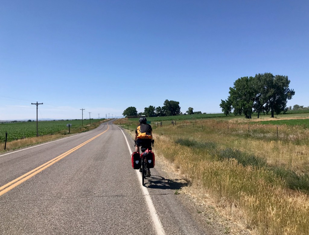

We stopped for lunch in Worland, which has a number of businesses, including a bike shop, but unfortunately it was Sunday, and the shop was closed. No re-stocking of inner tubes on this day. We rode into town over an old bridge and enjoyed Mexican food for lunch. Although we only had another 41 miles to Thermopolis, it was another day that got longer and hotter in the afternoon. As refreshing and pleasant as our day began, the afternoon heat was grueling. We left Worland with all 5 of our water bottles filled, plus the spare liter, and it still wasn’t enough to get us all the way. Our hopes were raised when we saw signs for Kirby, a small community just north of Thermopolis, where we turned off the road, thinking we could refill our water bottles. Although there was a billboard on the highway pointing to the family-friendly Kirby Bar & Grill, and also a tavern called Butch’s Place, neither was open, and the entire sad little “town” seemed deserted. In fact, the Kirby Bar & Grill looked as if it must have closed when covid hit, if not before then, and would not be reopening ever. The one business that looked like it was a going operation was the Distillery, which unfortunately is closed on Sundays. Although whiskey wasn’t quite what we needed at that moment, we had hoped they could provide some water. Feeling a bit defeated, not to mention overheated, we laid down on the shaded porch in front of Butch’s Place and took a little rest.

Kirby Bar & Grill was looking rather sad 
No signs of life at Butch’s Place, but we enjoyed the shade 
Laying on concrete never felt so good
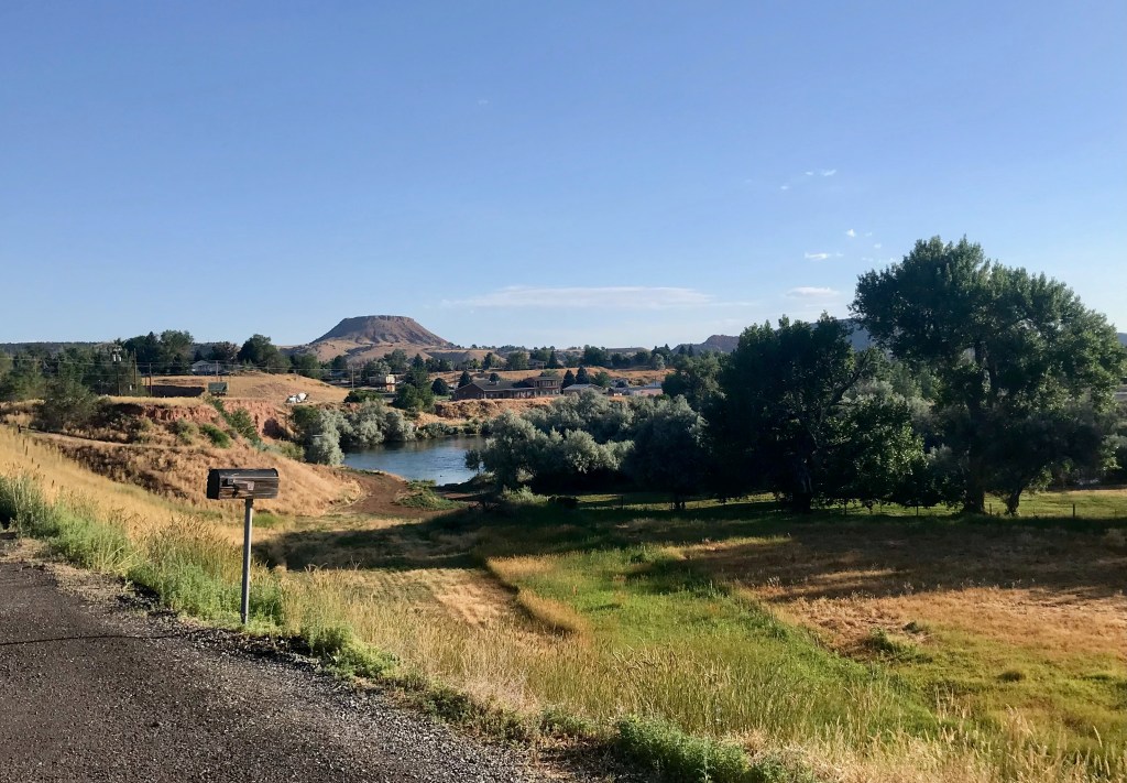
Heading out of Kirby, the ACA route was directing us to a small road running parallel to the state highway, and so we tried taking that road south toward Thermopolis. But the road surface was unpaved, with large, loose rocks that were hard to ride on. Even though the road was barely rideable, it turned out to be fortuitous that we headed this way, as we saw some kids playing in the front yard of a house. El Cochinito asked the young boy out front if they had a hose we could use to get some water, and the sweet kid offered us cold water from the house. His older sister graciously took our water bottles inside to fill them while the boy visited with us, asking if we were in a race. We chatted with him about our ride and the plan to spend the next few days in Thermopolis. He gave us his recommendations for where to eat and which hot springs to visit during our upcoming stay. He also gave us the scoop on the road ahead – that it leads to a bridge that is privately owned and can’t be crossed without permission of the owner. When his sister returned, she confirmed that we should not go that way, as we would not be able to cross the bridge. With that information, we turned back along the gravel road and returned to the highway. Although we were close to Thermopolis, we were so grateful to get that much-needed water to get us through those last several miles. The scenery quickly turned more colorful, and it became necessary to stop and snap pictures of the river bending through the red earth. Those last 15 miles were some of the most beautiful. We rolled into town about 5:30, completely wiped out, but glad to have completed the 312 miles of the first half of our journey. Today’s roadkill tally: 2 raccoons, 2 skunks, 3 birds, 1 rabbit, 1 cat?/fox?, and 1 lazyboy-type recliner.


Thermopolis would be our place to take a few days of rest in the middle of our journey. We had booked a small cottage through AirBnB, and planned to take advantage of the town’s hot springs. The cottage was just right for our needs. As a first order of business, El Cochinito contacted our host to ask if she could recommend a local dentist. That referral led to his new favorite place to go for dental work: Paintbrush Dental in Thermopolis, Wyoming. But it was still only Sunday, and first we had to shower up and find us a place for dinner. When we walked the few blocks into town, we noticed a Thai restaurant that looked interesting, but it was closed. The main street through downtown Thermopolis is only about two blocks long, and we saw only one other restaurant, which we recognized as the one recommended by our new friend from the gravel road: One Eyed Buffalo Brewing Company.

We refreshed ourselves at the One Eyed Buffalo with some hard-earned beer, and tried our first Rocky Mountain Oysters. I can now say that I’ve tried them. They were neither repulsive nor delectable. Points for novelty, but no need to try them again.
Days 6 to 8: Chilling in Thermopolis
Monday morning, while El Cochinito visited Paintbrush Dental, I rode to a market to stock up on groceries. We then had lunch at a café in the back of a health food store on the main drag, but upon returning to our bikes parked out front, I discovered the first of a series of flat tires I would get while we were in Thermopolis. The place may be known for its natural hot springs, but it’s got goatheads like nobody’s business. I was running out of spare inner tubes, so got to work patching up the punctured ones. The more I patched, the more punctures I found. It got a bit ridiculous, but Thermopolis doesn’t have any bike shops, so I had to do what I could with the tubes I had. For dinner we ventured off the main street and along the big road heading south from downtown, where we found Los Cabos, a Mexican restaurant with large metal dinosaur statues out front, because, well, this is Wyoming. Apparently, Thermopolis is the home of the Wyoming Dinosaur Center.
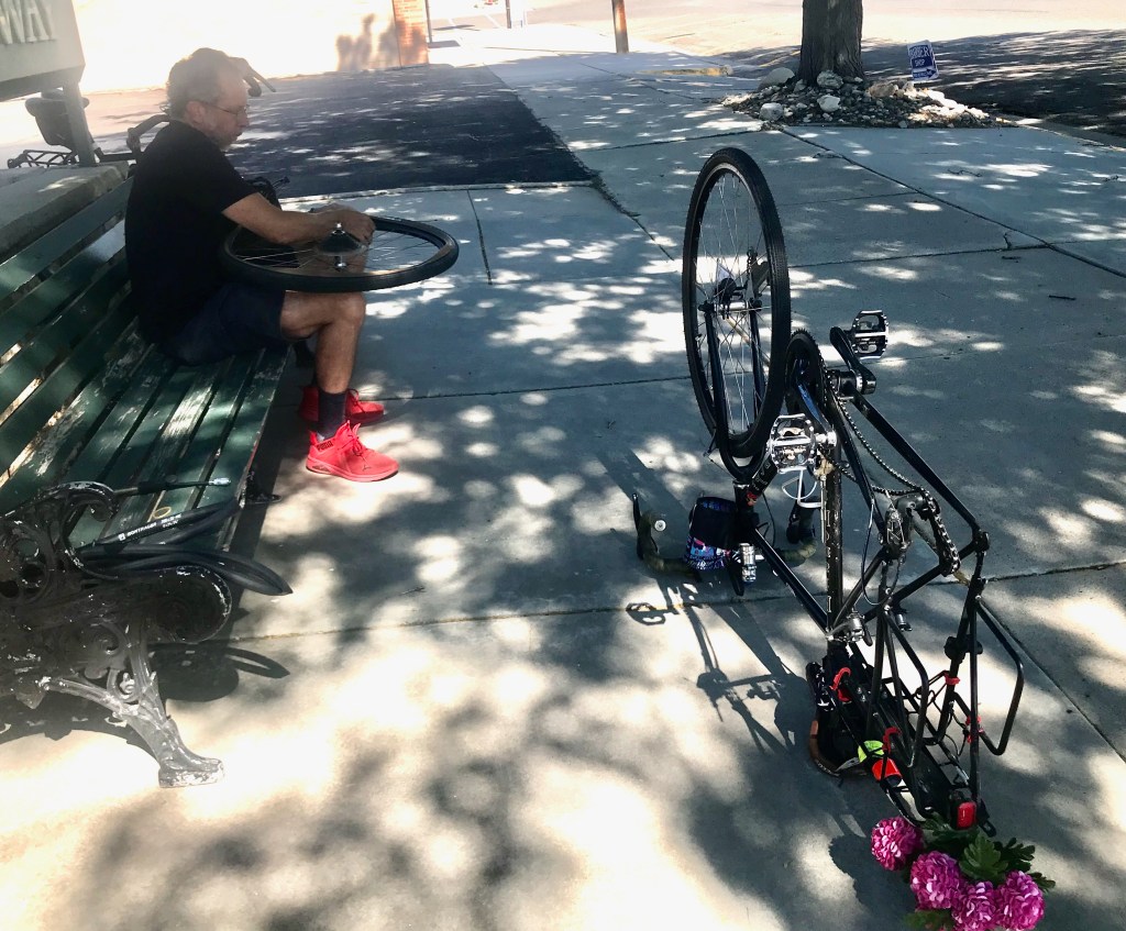
First of many flat tires in Thermopolis 
Dinosaurs set the mood at Los Cabos
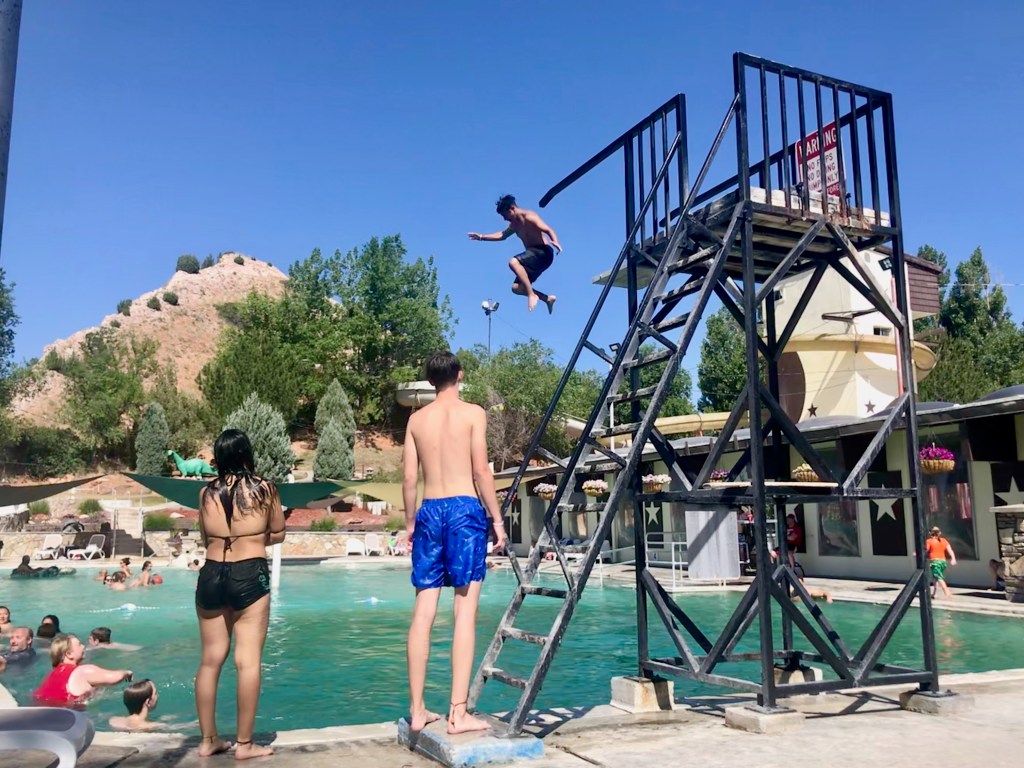
On Tuesday, we embraced the thermal part of Thermopolis, a town that boasts itself as home of the world’s largest mineral hot springs. There are three different places you can go to soak here. We went to Star Plunge, as recommended by our little friend, where we did our best to rejuvenate ourselves before tackling the second half of our tour.


Our last full day in Thermopolis began with a final soak in the hot springs. After getting yet another flat tire (did I mention there are goatheads everywhere here?), we switched to walking to get around town. This gave us a better opportunity to take in the local architecture and varied housing structures. I will assume the building code is fairly flexible here, and that folks go with what meets their practical needs and/or expresses their peculiar tastes. A charming and funky form of free expression, if not aesthetically pleasing.


By this time, I’d learned there might be inner tubes available at the Thermopolis Hardware & Mercantile. I biked over there, a ways beyond the Mexican/dinosaur restaurant. The Mercantile is the kind of place where you just lean your bike against something out front and maybe lock it to itself, not worrying about it still being there when you return. I found my way through the large store to the aisle that has bike things, and spent an inordinate amount of time agonizing over whether to buy an inner tube that was sort of close to the right size, and/or buy some sealant (that’s what the locals say you have to use to stand a chance against the goatheads). I kept looking things up on my phone, trying to figure out how to translate the tire sizes they had (marked in inches) to metric dimensions that I could compare to my own bike tires. I worried that sealant was a bad idea, given instructions to first completely deflate and then put in the sealant – what if part one worked, and part two failed? I ended up buying both a wrong-sized tube and the sealant, and ultimately never used either. But it did give me some small peace of mind to know that I had these available as a last resort in case things got desperate.
Looking back as we rode south out of Thermopolis 
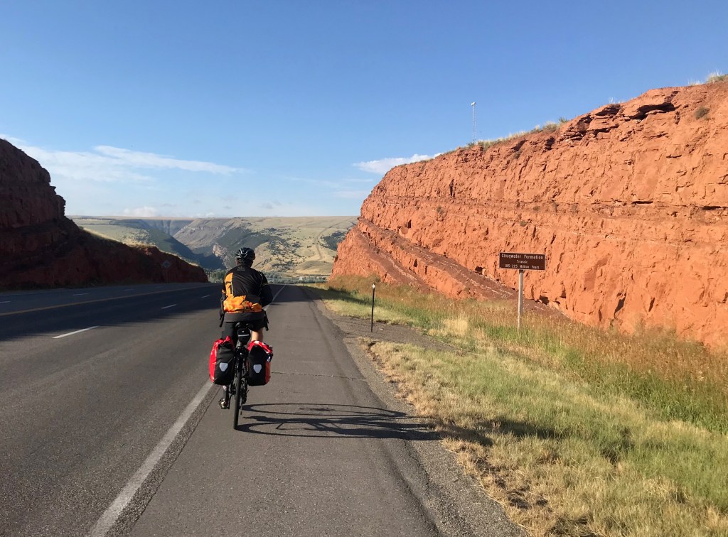
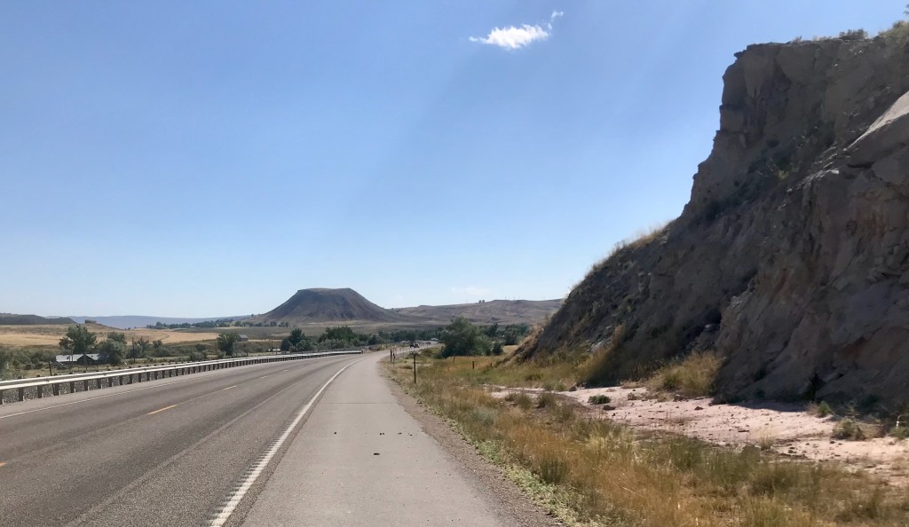
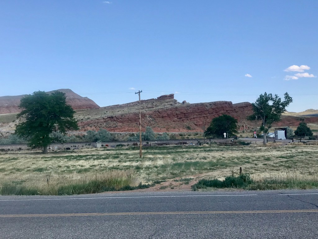
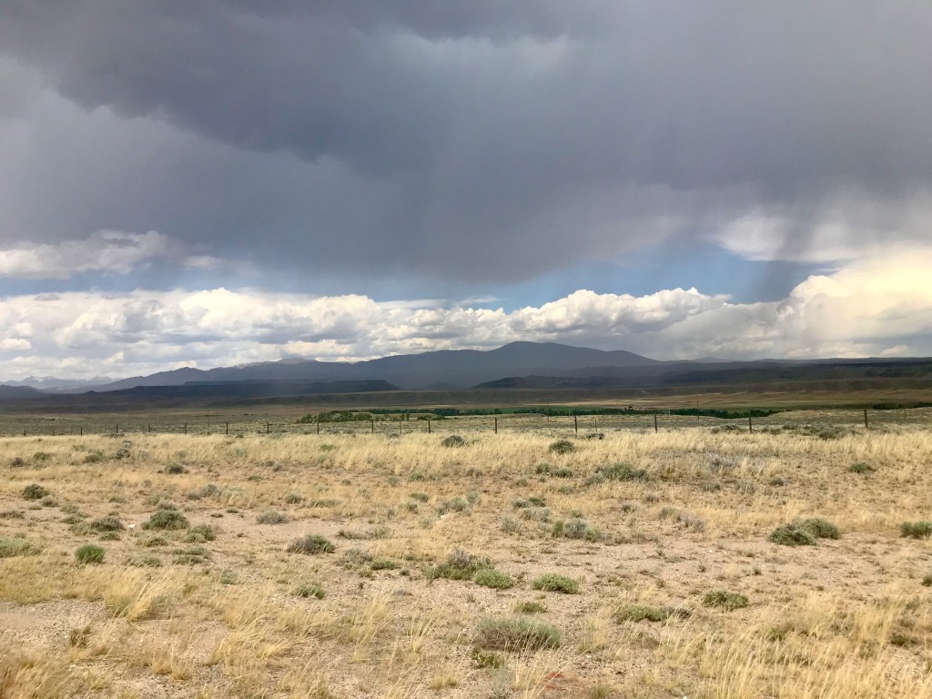
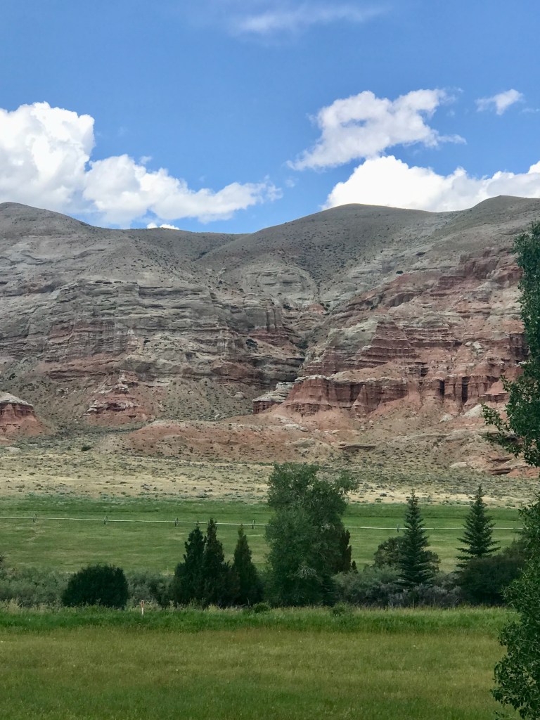
Chugwater Formation – Bedrock from the Triassic Era
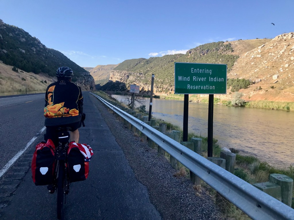
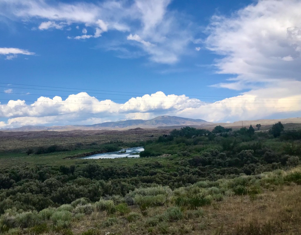
Day 9: Thermopolis to Riverton via Wind River Canyon – 62 miles
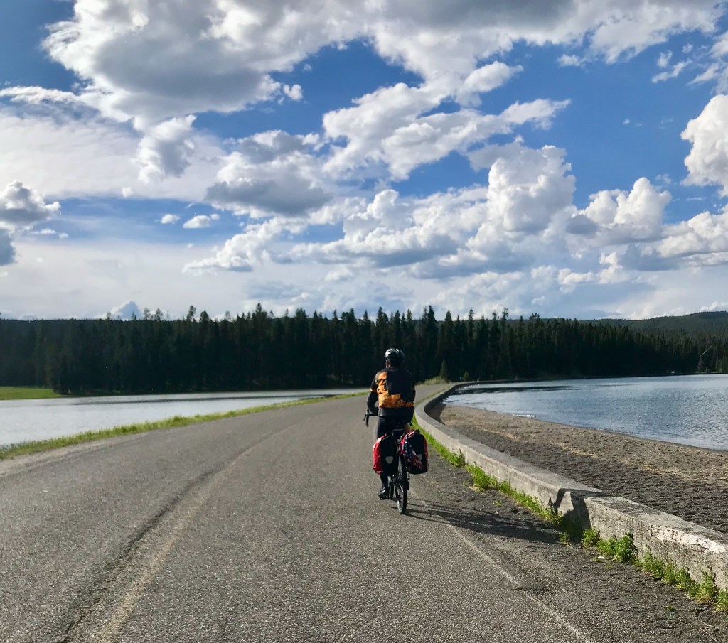
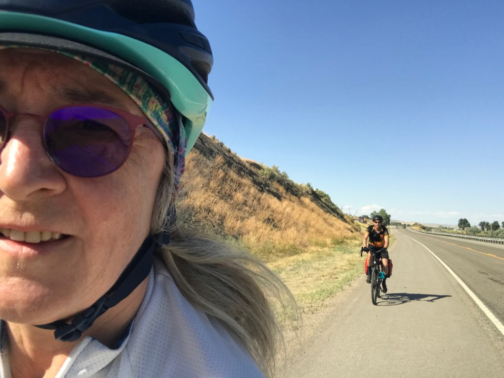
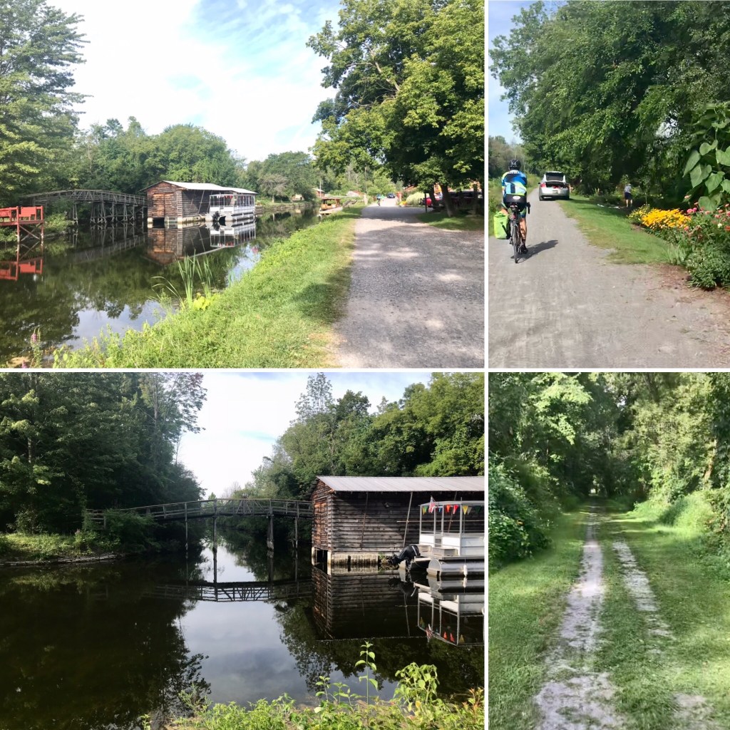
Rolling south out of Thermopolis provided pretty scenery and great riding as we made our way through Wind River Canyon. This place has a mystical quality to it. The wind is real, the river is beautiful, and the canyon is stately. I could go back and enjoy that ride again. We passed a few campgrounds along the river, where we stopped at one point to refill water bottles and inspect El Cochinito’s wheel that seemed unable to roll quite right, although it was functional enough. As we continued south on Highway 20, we took in the best scenery and a few pictures in the heart of the canyon. We rode past Boysen Dam and Reservoir. Highway 20 ends at Shoshoni, where we turned west onto Highway 26. At that junction, we stopped for lunch at a convenience store that offered a sandwich counter and a small picnic area in the parking lot. We ended up sharing the picnic spot with a large group of motorcyclists. They were a friendly lot who perfectly suited any stereotypes you might have of a friendly motorcycle gang, and we enjoyed sharing stories about our riding adventures.

Later in the day, we felt some heat and encountered high speed traffic as we continued southwest to Riverton. We rolled with it and got the job done. After 60+ miles, though, we were HUNGRY!! We feasted at the Riverton Hotel & Casino, where we enjoyed nice accommodations for a bargain price, as well as a selection of dining options.


Loaded fry bread hit the spot
No flat tires (yay!); Roadkill: 2 birds, 1 raccoon, 1 bicycle tire (not my size), 1 work boot.
Day 10: Riverton to Lander – 30 miles
This was a delightful day of easy rolling from one Hotel/Casino to another. Before getting to the Lander Casino, we stopped in town at The Bike Mill, a shop that knew just what was wrong with El Cochinito’s wheel. We learned that his new Surly was missing a special end cap piece that can come loose when the bike is unpacked from its original box, and the mechanic set out to create a custom replacement part. While he worked on that, we stepped across the street to enjoy a delicious lunch at Gannett Grill. Back at The Bike Mill, we picked up the repaired Surly, pumped up my tires, and stocked up on bike supplies. We stayed in town a little longer since I had a zoom meeting with a client on the schedule, which I was able to do at Lander Bake Shop, just a couple blocks farther up Main Street. After finishing up with my meeting, we headed on to the Shoshone Rose Casino, our stop for the night. Those last few miles served up some powerfully strong winds, which turned the short distance into a real bike ride! El Cochinito set up his Bose speaker and served up some tunes to help us turn the chore into a party.


The Bike Mill 
Interesting bike display outside the Lander Bake Shop 
The Shoshone Rose Casino & Hotel
Roadkill tally: 2 birds, 1 mouse, 2 bunnies, 4 presumptive raccoons, and one half of a gopher or other small rodent (just the hindquarters).
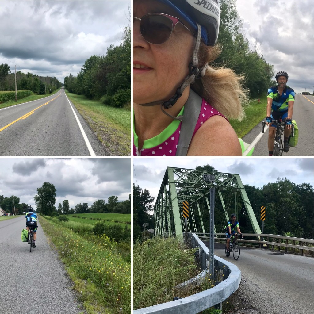
Day 11: Lander to Dubois – 70 miles
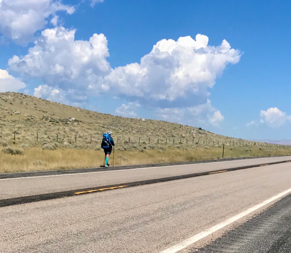
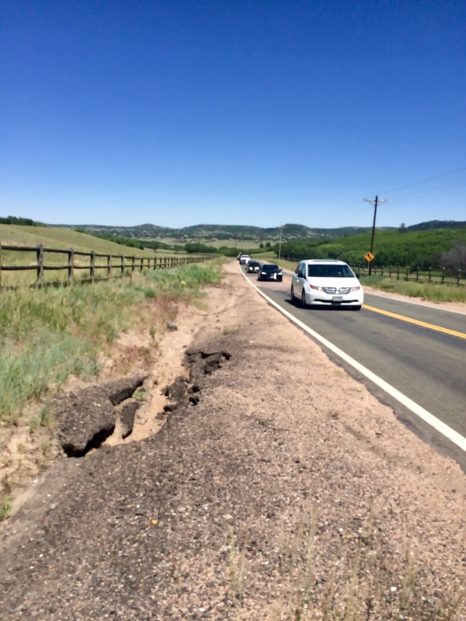
We got an early start to take care of business before the winds could wear us down. This was, after all, the area on the State Highway map where handy indicators note the average strength and direction of the winds would be working against us. There are also long stretches with no businesses. Yet we saw a guy backpacking along the road, just him, his backpack, and his brightly colored socks.


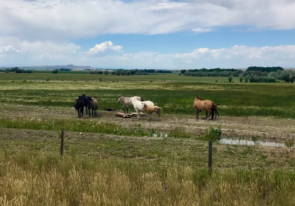
We were grateful for the general store in Crowheart, where we got some lunch and snacks, and dined at the picnic table out front. There we met three other bike tourists making the same trip from Lander to Dubois. We ended up hanging around at the picnic table for an hour, waiting for a storm to blow by. Farther up the road, we had fun interacting with an adorable group of horses, who seemed to be fascinated with us, then started gallivanting around. It felt like a playful conversation.


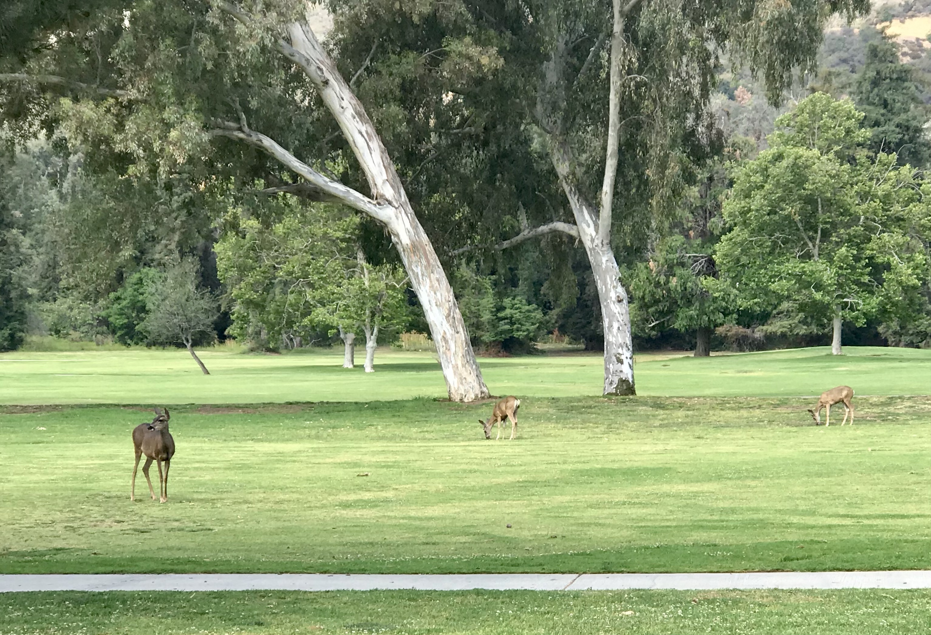
The latter part of the trek from Lander to Dubois featured some strong headwinds accompanied by ever more beautiful scenery as we worked our way to higher elevations. At one point, we saw a face in the rocky formation of Wind Ridge. We tried to decide who it looked like: Jesus? Guy Fawkes? It was a tiring day, but we made it!

Do you see the face? Whose face is it? 

Roadkill Tally: 1 mouse, 2 birds, 3 deer, 4 unidentifiable flattened furry critters, 1 baseball cap, 2 cat litter box covers, and 1 Keen sandal.
Day 12: Rest day in Dubois
We spent two nights in a cute little cabin at the Twin Pines Lodge & Cabins in Dubois. Our cabin featured a front porch and a very pine-y interior, complete with just the kind of bed you would expect in a log cabin. We enjoyed a couple of meals at the outdoor tables of the Cowboy Café. If a town is only going to have one place worth eating at, this is a good one for the purpose. I used the day off the bike to write a patent application, grateful for a profession that allows me this kind of flexibility. But it felt weird to not ride the bike at all that day.
The town features another curious site that looks like it might be part of an abandoned mine, or??? But, per the interwebs, this is where a guy named Appleman, who owned a bar in Dubois, blasted a hole in this hill and used it for cold storage for his booze.
Twin Pines Lodge & Cabins 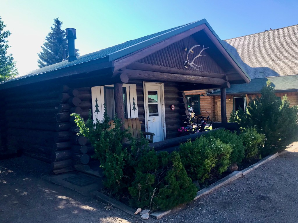
Our cute little cabin 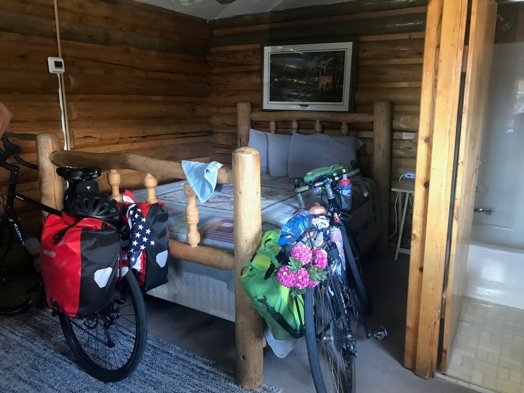
Our rstic room also had a little desk where I did my work 
Beers at the Cowboy Cafe 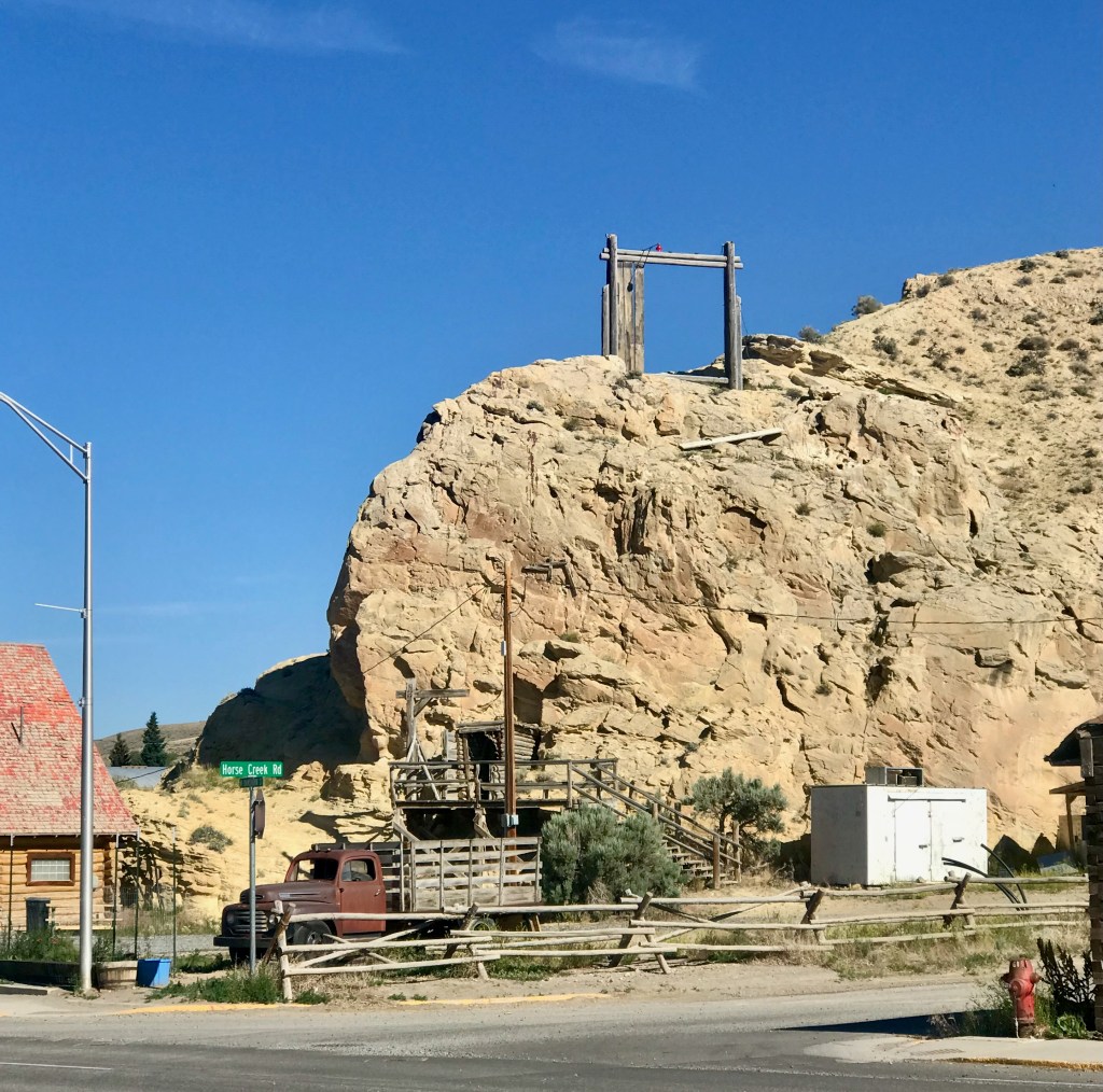
Old Timey Refrigeration System
Day 13: Dubois to Colter Bay – 68 miles
We found a diner where we loaded up on a hearty breakfast on our way out of Dubois. The first 20 miles out of Dubois featured mosquitos and some gradual climbing. We then stopped for a break and a second breakfast at the Lava Mountain Lodge before tackling the last, hardest part of the climb up Togwotee (pronounced “TAA·gwuh·tee”) Pass. Just being in the mountains was feeding my soul and giving me energy, so I remained hopeful that powerful mountain vibe would carry me all the way.

Heading out of Dubois 
The mountains for which we are headed 
Inside the Lava Mountain Lodge 
Gaining some altitude 
Looking back at the climb El Cochinito did twice
We were more than two miles up that climb when we stopped to take a few swigs from our water bottles, and that’s when El Cochinito realized he’d left his bottles behind at the Lava Mountain Lodge. He insisted I stay put and wait while he circled back to retrieve them. Considering the distance and climb, he returned rather quickly, but it was hard to be comfortable with simply waiting around while he took that little trek alone. I explored the area a wee bit, and looked for a suitable place to rest and wait while also making myself easy to find when he returned. It all turned out fine, and soon enough, I was biking with my ride buddy again.
The rest of the ride to Colter Bay was glorious! After the headwinds-enhanced climb up Togwotee Pass and crossing the continental divide once again, we were treated to a looong 6% grade descent, all facing the beauty of Grand Teton. We stopped at a vista point a little ways beyond the summit and took in some awe-inspiring beauty. We snapped several pictures of the giant meadow with pretty light purple wildflowers and the gorgeous mountains of Grand Teton standing proudly in the distance. It was one of those extraordinary experiences that won’t be forgotten.

Flowers! 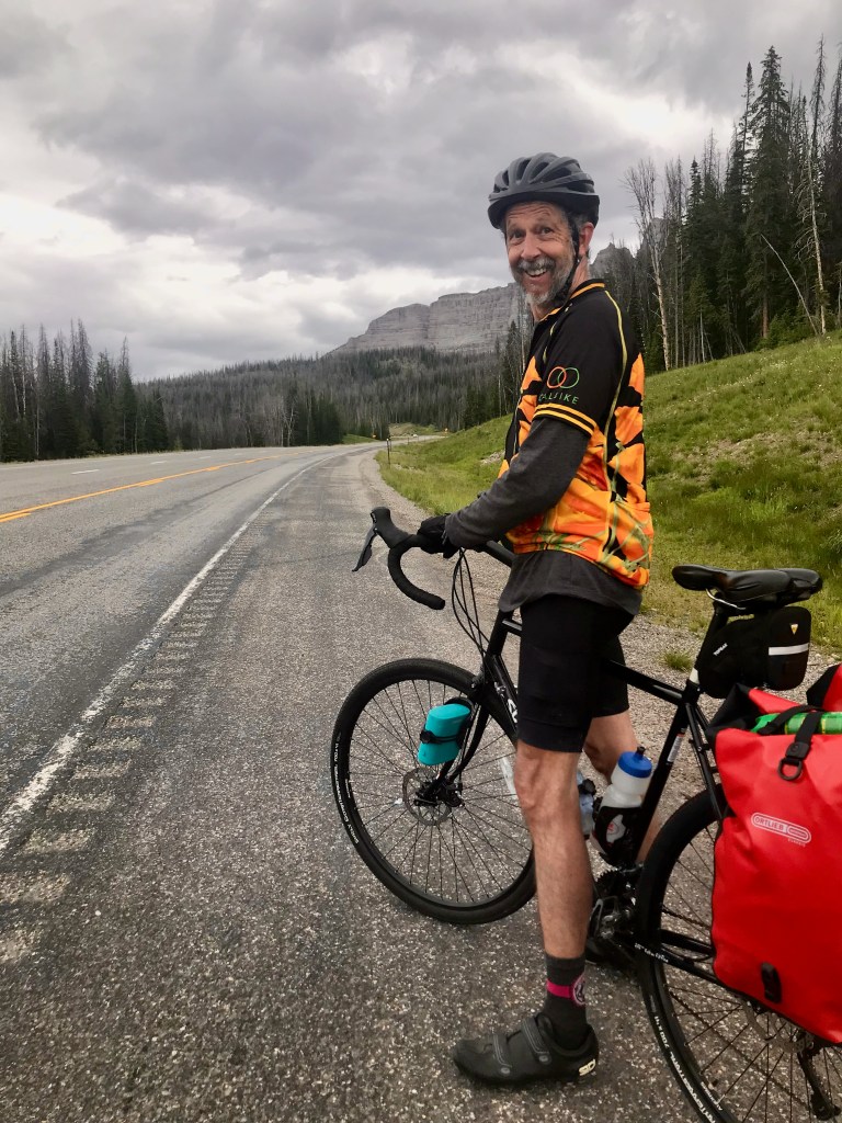
Approaching the summit 
Togwotee Pass 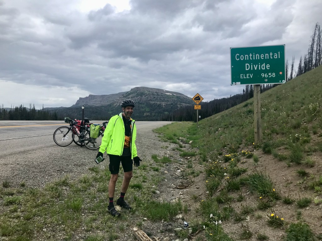
Okay, it’s COLD up here! 
Amazing viewpoint
That night we settled in to our cute little tent/cabin in Colter Bay, where we rented sleeping bags and spent the next two nights.


Day 14: Colter Bay to Jackson – 42 miles
What a grand finale! We spent some time in the morning exploring the Colter Bay area, and then enjoyed a really fun, fast, and beautiful ride back to Jackson. (Jackson! As in we sang along to Johnny Cash and June Carter singing about how “we’re going to Jackson – Jackson!”)
Colter Bay 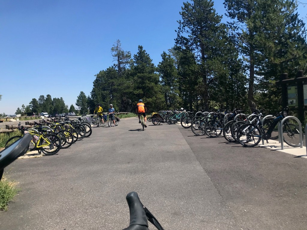
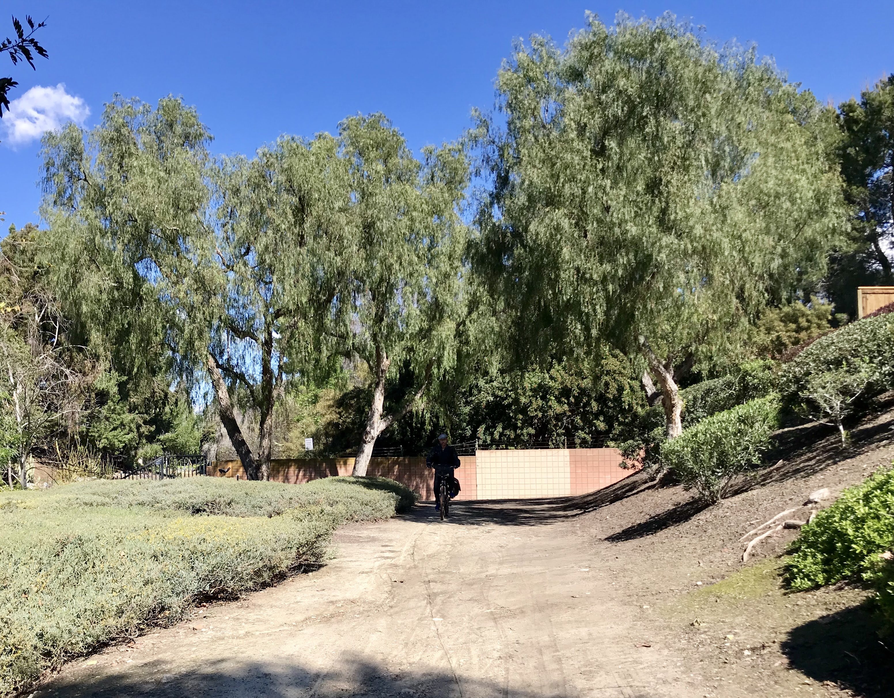
Plenty of bike parking where the bike path meets Jenny Lake 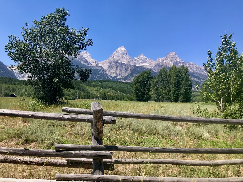
Never tired of this view
Since we would be returning to our tent/cabin at Colter Bay that night, we didn’t need to bring our panniers, and it felt great to roll a little lighter. The bike path that runs all the way from Jenny Lake to Jackson is an absolute treat (especially in this direction). Along the way, we stopped at the Jackson airport to greet two of our kids who were going to join us for the retreat in nearby Alpine with the extended family. The kids picked up a rental car and drove into Jackson proper, while we rolled on into town to drop off our bikes with the good folks at Hoff Bike Smith, who had fixed our bikes on day one, and would pack them up for the return flight home. We grabbed some lunch in town with the kids, and then drove back to Colter Bay to spend that last night camping with them before heading on to Alpine the next day.
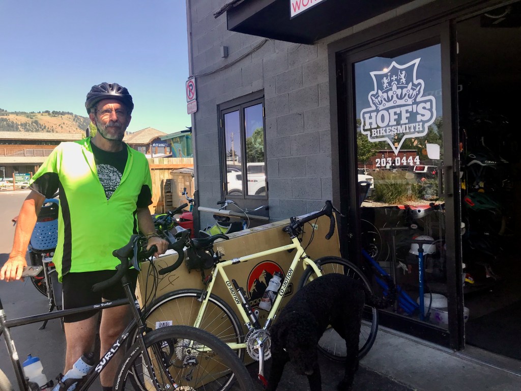
Thank you, Hoff’s, for taking good care of us and our steeds
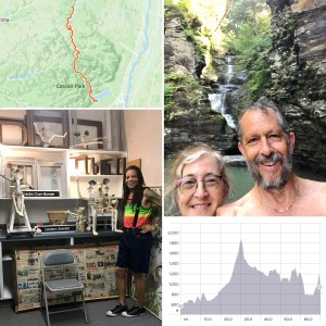
And, with that, we had completed 600 miles of biking in two weeks. Not bad, especially when you consider that one of us was recovering from covid and battling tooth pain. Real cyclists don’t let a little root canal get in the way of an epic journey, right?


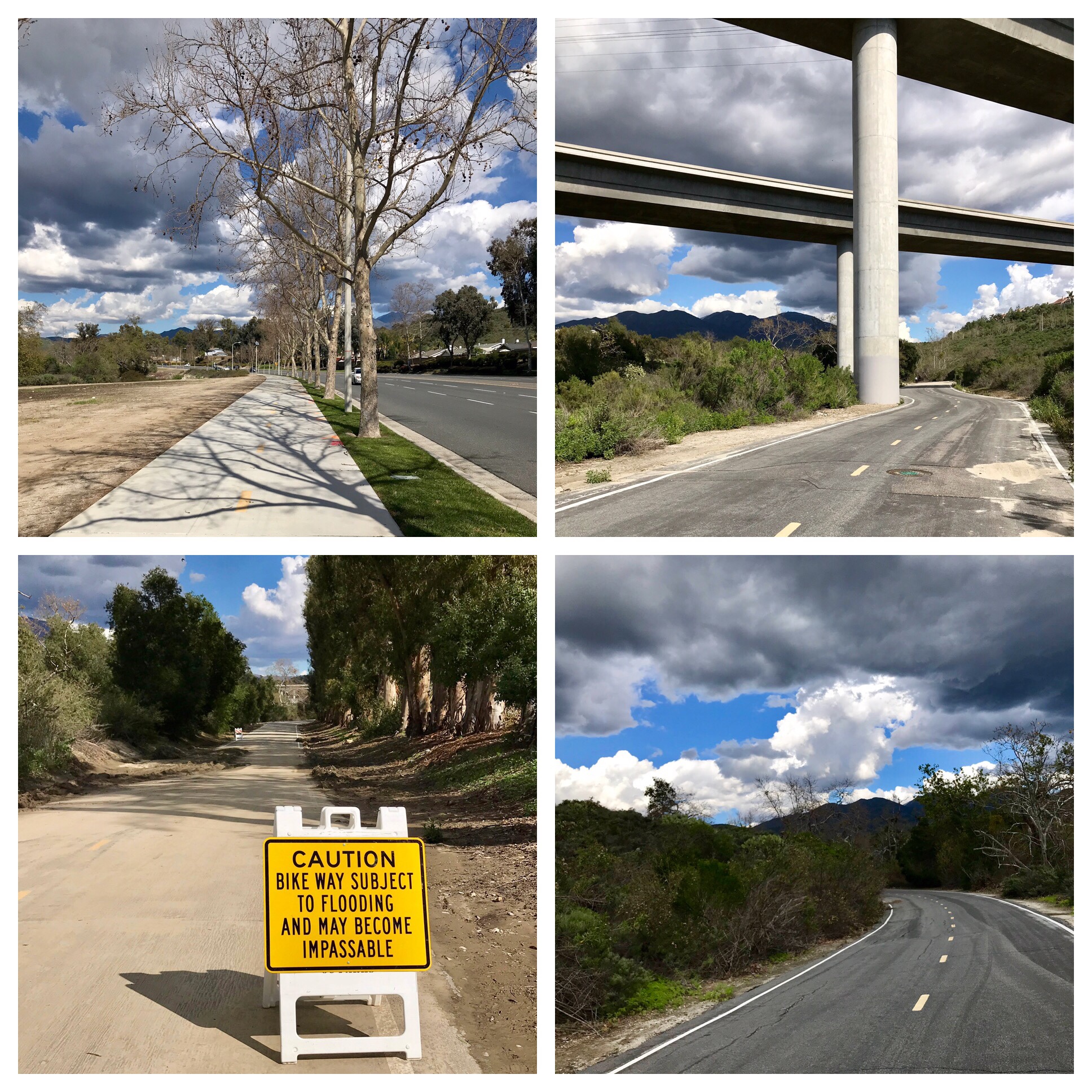


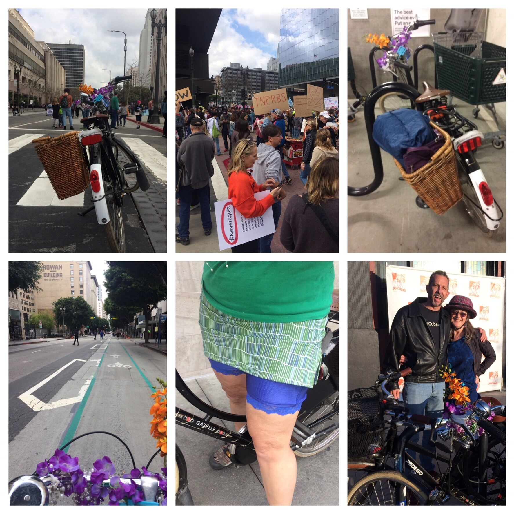
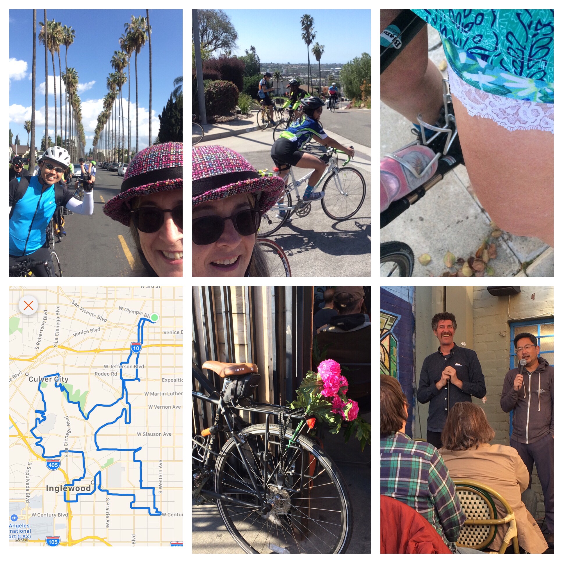
 more this year is working out. I believe this may be the first time I have actually made a true resolution and followed through on it enough to remain aware of it this far into the year. The resolution was somewhat vague; I just knew that I wanted to do more and longer rides. I kicked it off with the 50+ mile
  My resistance to group rides changed when I launched